Myrtle Beach, SC tide times
Myrtle Beach, SC tide forecast — heights relative to MSL.
Today's tide times for Myrtle Beach, SC
Tide times at Myrtle Beach, SC on Friday, 19 June 2026: first low tide at 05:27am, first high tide at 11:21am, second low tide at 05:43pm, second high tide at 11:33pm. Sunrise 06:05am, sunset 08:28pm.
Tide chart for Myrtle Beach, SC
24-hour cosine-interpolated curve around the present moment. Heights relative to MSL. Predictions: Predictions: Open-Meteo Marine (MeteoFrance SMOC, 0.08° grid).
Sun, moon and conditions on Fri 19 Jun
Snapshot at build time — refreshes daily. Sea state from Open-Meteo Marine.
Highs and lows next 7 days
Every predicted high and low for the next week, with the daily tidal coefficient (0–120; higher = bigger swing, > 95 means stronger currents).
Other spots nearby
The three closest curated TideTurtle locations to Myrtle Beach, SC, measured by great-circle distance.
Today's solunar windows
Solunar tradition: major periods are the ≈3h windows around moon transit and opposition; minor are ≈2h around moonrise and moonset. Pair with the local tide stage and wind for the best read.
Cycle dates near Myrtle Beach, SC
Last spring tide on Thu 18 Jun (range 1.8m / 5.9ft). Next neap on Wed 24 Jun.
Spring tides cluster around new and full moons (biggest swings). Neap tides land on quarter moons (smallest swings). See the spring tide and neap tide glossary entries for the why.
About tides at Myrtle Beach, SC
A short guide to the coastline at Myrtle Beach, SC — geography, sea state, and what the tide is actually doing under your feet.
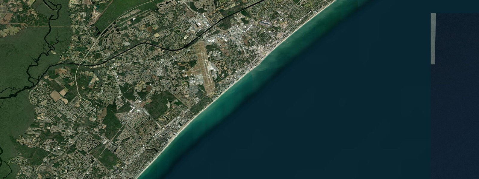
Myrtle Beach anchors the Grand Strand — 96 kilometres of nearly unbroken sand running from the North Carolina border to Georgetown County — and the tidal regime along this stretch is a classic semidiurnal Atlantic pattern. Mean spring range at Myrtle Beach runs around 1.5 metres, and the two daily cycles arrive with clockwork regularity, each pair shifting about 50 minutes later than the previous day as the tidal clock tracks the lunar cycle. The twice-daily exposure of the intertidal zone defines the beach experience here far more than most visitors realize.
At low water on a spring tide, the beach widens substantially — an additional 30 to 50 metres of firm wet sand exposed beyond the typical dry-sand zone. That exposed foreshore is firm enough to support beach cruiser bikes and the oversized tricycles that are rented along the oceanfront — low water mornings in summer draw a reliable crowd of cyclists working the compact sand. Shell collecting on the foreshore is best at low water after a night of NE swell, when the wave action has winnowed out shell debris from the sandy bottom. Sand dollars and whelk are the most commonly found.
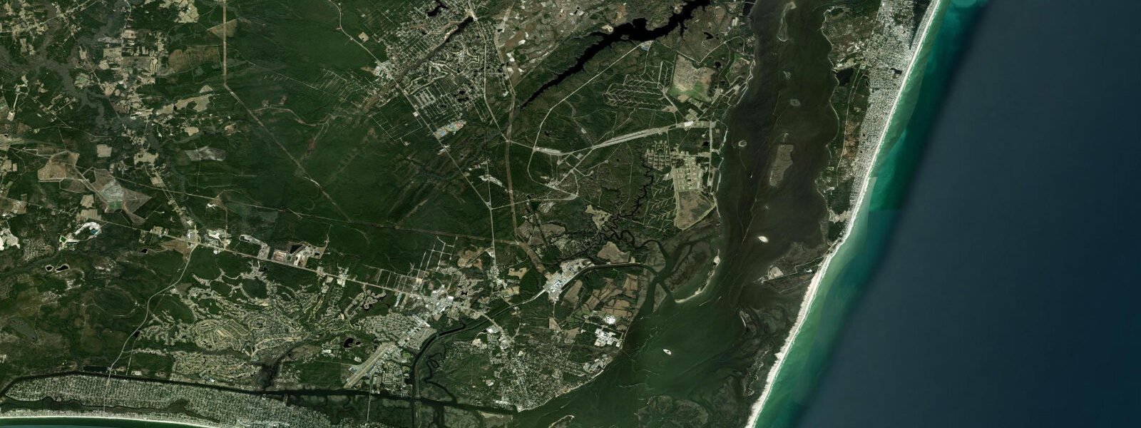
Myrtle Beach State Park, at the south end of the developed Grand Strand, preserves a section of natural coastline including a nature centre, freshwater fishing pier on Myrtle Beach Creek, and ocean beach access that tends to be less crowded than the resort-strip beaches to the north. The park's boardwalk trail crosses a maritime forest of live oak, wax myrtle, and palmetto — the same vegetation type that once covered the Grand Strand dune line before resort development. The fishing pier at the state park extends into the ocean and is productive for bluefish, pompano, and Spanish mackerel in season.
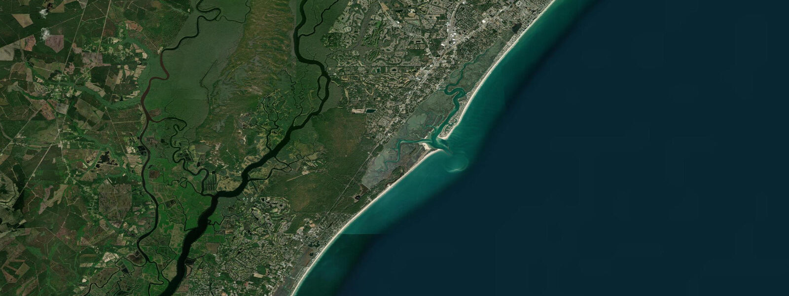
Murrells Inlet, 15 kilometres south, is the Seafood Capital of South Carolina and the most productive inshore fishing and boating community on the Strand. The inlet's tidal creek system — several kilometres of navigable marshland waterway draining into the Atlantic — supports a redfish (red drum) and flounder fishery, with the best tidal windows during the first two hours of incoming tide when fish move into the shallower grass flats to feed. Kayak outfitters in Murrells Inlet run guided marsh tours that combine wildlife (loggerhead sea turtle nesting beaches are within 10 kilometres) with inshore fishing instruction.
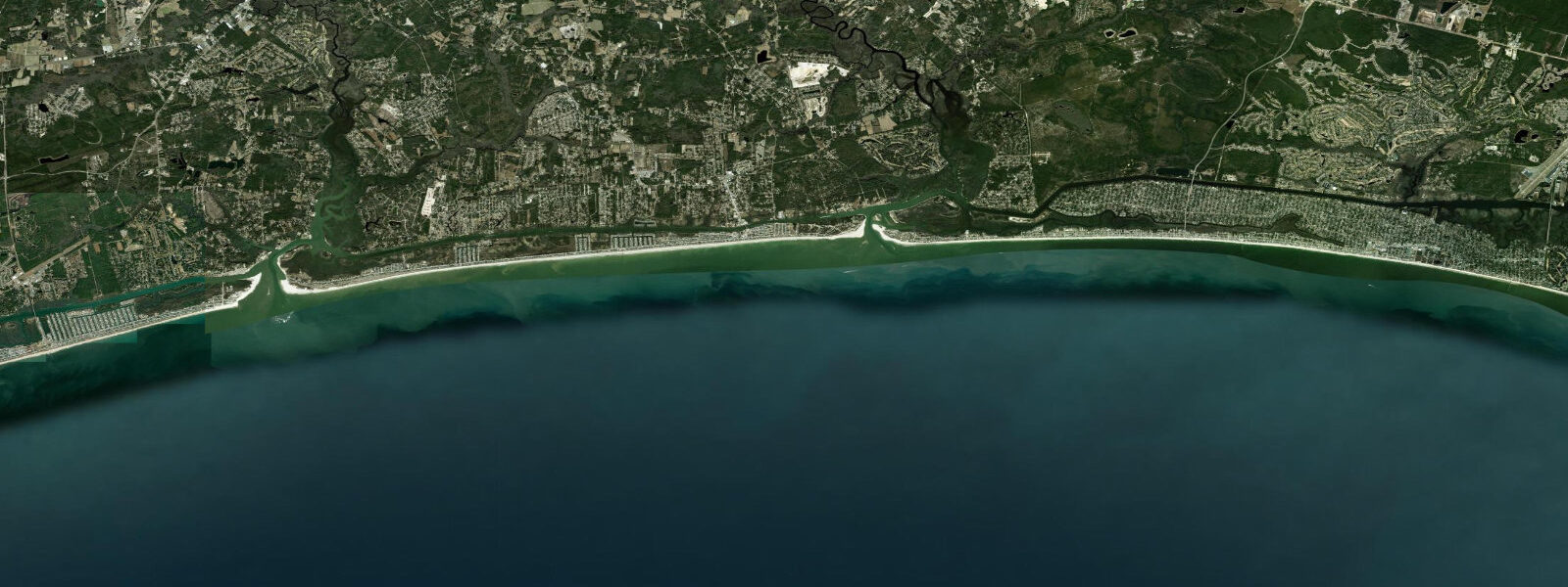
Pompano and whiting run along the Strand surf line on the incoming tide throughout the warmer months, concentrated by the troughs and gutters behind the outer sandbars. The outer bar system at Myrtle Beach is visible as lines of breaking surf offshore at low water — this bar architecture drives the surf break patterns and creates the exit currents (rips) that lifeguards monitor.
Hurricane season (June to November) is the primary weather hazard. The Grand Strand is exposed to both direct landfalls and sideswipe storms, and storm surge from a major hurricane could inundate the low-lying built area significantly. NOAA's storm surge forecasts and SC Emergency Management Division advisories are the definitive references during named storm events.
Predictions on this page come from Open-Meteo Marine, a gridded global ocean model. Accuracy is typically within plus or minus 45 minutes on timing and 0.2 to 0.3 metres on height — model-derived, not from a local gauge. For authoritative US tide data, consult NOAA CO-OPS at tidesandcurrents.noaa.gov.
Tide questions about Myrtle Beach, SC
Quick answers to the most common questions about tide times, range, and water access at Myrtle Beach, SC.
When is low tide at Myrtle Beach today?
The tide table on this page shows the predicted low tide time in Eastern Time (EST UTC-5, EDT UTC-4 in summer). Myrtle Beach has two low tides per day, each shifted about 50 minutes later than the previous cycle. Low water is the best time for shell collecting, bike riding on the firm foreshore, and exploring the intertidal zone. For the current official prediction, NOAA CO-OPS maintains a gauge at nearby Springmaid Pier (station 8661070).
What is the tidal range at Myrtle Beach?
Mean spring range at Myrtle Beach is approximately 1.5 metres. On a typical spring tide day (near new or full moon), the difference between high and low water is around 1.5 metres. Neap tides (around first and third quarter moon) produce a smaller range of roughly 0.5 to 0.7 metres. This is a moderate tidal environment — large enough to dramatically change the beach width between high and low water, but not macrotidal like the New England coast to the north.
Where is the best fishing along the Grand Strand?
Murrells Inlet, 15 km south of Myrtle Beach, is the fishing hub of the Grand Strand. The tidal creek network produces redfish (red drum), flounder, and speckled trout — best fishing on the first two hours of incoming tide as fish move onto the grass flats. Myrtle Beach State Park pier is productive for bluefish and Spanish mackerel in summer. The main oceanfront piers (Second Avenue, Apache, etc.) produce pompano, whiting, and sea mullet year-round. Charter boats depart from several marinas for offshore king mackerel and mahi-mahi.
Are rip currents a danger at Myrtle Beach?
Yes. Rip currents form at gaps in the offshore sand bars — these gap positions shift seasonally, and after storms, new rips can form quickly. The outgoing tidal current adds to the offshore pull during ebb. Myrtle Beach lifeguards post daily flag warnings: green (low hazard), yellow (medium), red (high), double red (water closed). The safest approach is to swim in a lifeguard-patrolled zone and note the flag colour before entering. If caught in a rip, swim parallel to shore rather than fighting the current.
When is the best time to visit Myrtle Beach for beach activities?
Water temperatures are warmest July through September (26-28°C). The shoulder seasons of May-June and September-October offer warm water with fewer crowds. Winter (December-February) is cool (9-14°C) but productive for fishing from the piers. Hurricane season runs June through November, with peak risk in August-October — check forecasts before visiting. Low tide in early morning during summer produces the widest beach and firmest sand for walking and cycling along the foreshore.
7-day tide table — Myrtle Beach, SC
Heights relative to MSL. Predictions: Open-Meteo Marine (MeteoFrance SMOC, 0.08° grid) — heights relative to MSL (not chart datum / LAT). Model-derived.
| Day | Type | Time | Height |
|---|---|---|---|
| Fri 19 Jun | Low | 05:27 | -1.4m / -4.6ft |
| High | 11:21 | 0.3m / 0.9ft | |
| Low | 17:43 | -1.5m / -5.0ft | |
| High | 23:33 | 0.3m / 1.1ft | |
| Sat 20 Jun | Low | 06:04 | -1.3m / -4.4ft |
| High | 12:08 | 0.3m / 1.1ft | |
| Low | 18:40 | -1.0m / -3.3ft | |
| Sun 21 Jun | High | 00:36 | 0.4m / 1.4ft |
| Low | 07:06 | -1.2m / -3.8ft | |
| High | 13:12 | 0.3m / 1.1ft | |
| Mon 22 Jun | Low | 08:01 | -1.1m / -3.8ft |
| High | 14:14 | 0.3m / 1.1ft | |
| Low | 20:42 | -1.1m / -3.5ft | |
| Tue 23 Jun | High | 02:13 | 0.0m / 0.0ft |
| Low | 08:39 | -1.2m / -4.0ft | |
| High | 15:12 | 0.3m / 1.0ft | |
| Low | 21:26 | -0.9m / -3.1ft | |
| Wed 24 Jun | High | 03:22 | 0.2m / 0.5ft |
| Low | 09:34 | -1.0m / -3.3ft | |
| High | 15:58 | 0.5m / 1.5ft | |
| Low | 22:35 | -0.8m / -2.8ft | |
| Thu 25 Jun | High | 04:17 | 0.1m / 0.4ft |
| Low | 10:19 | -1.0m / -3.4ft | |
| High | 16:48 | 0.4m / 1.5ft | |
| Low | 19:00 | 0.1m / 0.3ft |