Wilmington tide times
Wilmington tide forecast — heights relative to MSL.
Today's tide times for Wilmington
Tide times at Wilmington on Friday, 19 June 2026: first low tide at 05:19am, first high tide at 11:20am, second low tide at 05:50pm. Sunrise 05:59am, sunset 08:26pm.
Tide chart for Wilmington
24-hour cosine-interpolated curve around the present moment. Heights relative to MSL. Predictions: Predictions: Open-Meteo Marine (MeteoFrance SMOC, 0.08° grid).
Sun, moon and conditions on Fri 19 Jun
Snapshot at build time — refreshes daily. Sea state from Open-Meteo Marine.
Highs and lows next 7 days
Every predicted high and low for the next week, with the daily tidal coefficient (0–120; higher = bigger swing, > 95 means stronger currents).
Other spots nearby
The three closest curated TideTurtle locations to Wilmington, measured by great-circle distance.
Today's solunar windows
Solunar tradition: major periods are the ≈3h windows around moon transit and opposition; minor are ≈2h around moonrise and moonset. Pair with the local tide stage and wind for the best read.
Cycle dates near Wilmington
Next spring tide on Fri 19 Jun (range 1.4m / 4.7ft). Next neap on Tue 23 Jun.
Spring tides cluster around new and full moons (biggest swings). Neap tides land on quarter moons (smallest swings). See the spring tide and neap tide glossary entries for the why.
About tides at Wilmington
A short guide to the coastline at Wilmington — geography, sea state, and what the tide is actually doing under your feet.
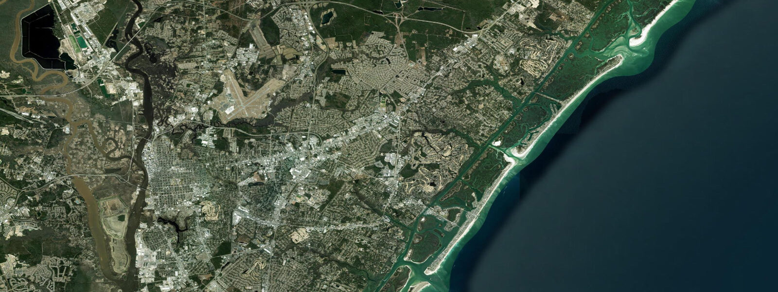
Wilmington sits on the Cape Fear River about 15 kilometres upstream from the Atlantic, which gives it a river-influenced tidal pattern rather than a direct ocean exposure. Tides here are mixed semidiurnal — the two daily highs are often unequal in height. Mean tidal range in the river reaches 1.2 to 1.5 metres at Wilmington, with spring tides pushing closer to 1.7 m. The river current combines with the tidal flow, so conditions change quickly on the ebb — the outgoing river-plus-ebb combination can run 2.5 knots past the downtown waterfront.
The Cape Fear coast south of Wilmington — Carolina Beach, Kure Beach, and Fort Fisher — is where the ocean tides are felt directly. Mean range on the barrier island beaches is around 1.2 metres, slightly less than in the river. Low water on the ocean side exposes wide flat sand, which is where surf fishermen set up for red drum and pompano in fall. High water during storm surge events in hurricane season is the metric that matters most to locals.
Downtown Wilmington's Riverwalk stretches along the Cape Fear, and watching the river rise and fall with the tide is one of the more underrated features of the town centre. Paddlers launch from several points along the river, though the main channel near the port sees commercial traffic — the Port of Wilmington is active, and tug and barge traffic moves on the tide. Keep to the margins and launch either at the top or bottom of a tide, not mid-ebb when the current peaks.
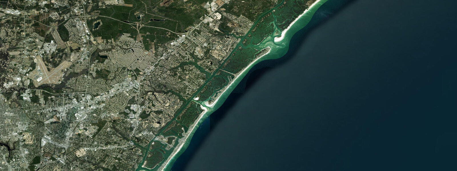
Wrightsville Beach, just east of Wilmington, is the closest surf beach to downtown and sees consistent shoulder-high swells in winter from northeast storms. The Masonboro Inlet separates Wrightsville from Masonboro Island, a primitive barrier island with no development accessible only by boat or kayak. The inlet tidal current runs fast — 3+ knots on spring tides — and requires precise timing to cross safely.
Anglers fishing the Cape Fear inlet target flounder in the shoals, bluefish on the surface in fall, and Spanish mackerel from June through October. The bridge pilings at the Masonboro Inlet hold sheepshead year-round. Surf fishing at Fort Fisher State Recreation Area is productive — the structure around the rock jetty holds black drum and red drum in season.
Photographers use the Cape Fear lighthouse (Bald Head Island, accessible by ferry) as a backdrop for sunrise shots across the river mouth. The ferry runs on a fixed schedule but tide level affects the ferry dock approach — consult the schedule against the tide chart in the fall king tide season.
Predictions on this page come from Open-Meteo Marine, a gridded global ocean model. Accuracy is typically within plus or minus 45 minutes on timing and 0.2 to 0.3 metres on height — model-derived, not from a local gauge. For authoritative US tide data, consult NOAA CO-OPS at tidesandcurrents.noaa.gov.
Tide questions about Wilmington
Quick answers to the most common questions about tide times, range, and water access at Wilmington.
What are the tides like at Wilmington, NC?
Wilmington sits on the Cape Fear River, which amplifies and slightly delays the tidal signal from the Atlantic. Mean tidal range in the river near downtown is 1.2 to 1.5 metres, with spring tides reaching 1.7 m. The tides are mixed semidiurnal — two highs and lows daily, but the two highs are often different heights. River current adds to ebb tide flow, making the outgoing phase noticeably stronger than the flood.
Is the Cape Fear River safe for kayaking near Wilmington?
Doable but requires planning. The main channel near the port sees commercial tug and barge traffic and carries 2+ knots of current on the ebb. Safer options: launch from Greenfield Lake or the UNCW waterway access points on the Intracoastal Waterway, which is more protected. If paddling the river, stay in the shallows and time your trip for the hour around high slack water. Wear a PFD and carry a whistle — commercial vessels have limited visibility from the wheelhouse.
What fish species are caught off Wilmington?
Red drum (redfish) and flounder dominate the fall surf fishing at Fort Fisher and Carolina Beach. Spanish mackerel and bluefish run June through October. Sheepshead hold around jetty structure year-round. Offshore from the Cape Fear inlet (10–25 miles), dolphinfish (mahi), wahoo, and yellowfin tuna appear June through November when the Gulf Stream swings close. A NC coastal recreational fishing license is required.
How strong is the tidal current at Masonboro Inlet?
Masonboro Inlet runs 2.5 to 3.5 knots on spring tides, with the ebb typically stronger than the flood due to the outflow from the backwater behind the island. The inlet shifts frequently after storms — shoaling means chart depths are often outdated. Kayakers should cross during the final 30 minutes of the flood (current slackening) or the first 30 minutes of the ebb. Do not attempt in an offshore wind or with a strong ebb running.
When do king tides affect Wilmington?
King tides (perigean spring tides) in Wilmington typically fall in October and November, coinciding with the highest astronomical tides of the year. Water levels can exceed predictions if the Cape Fear basin holds residual water from recent rainfall or if persistent southwest winds push water into the estuary. Downtown flooding near the river walk can occur at these tides even without a storm. Check NOAA CO-OPS predictions for Wilmington (Station 8658120) before planning riverside events.
7-day tide table — Wilmington
Heights relative to MSL. Predictions: Open-Meteo Marine (MeteoFrance SMOC, 0.08° grid) — heights relative to MSL (not chart datum / LAT). Model-derived.
| Day | Type | Time | Height |
|---|---|---|---|
| Fri 19 Jun | Low | 05:19 | -1.3m / -4.1ft |
| High | 11:20 | 0.1m / 0.4ft | |
| Low | 17:50 | -1.2m / -3.9ft | |
| Sat 20 Jun | High | 00:02 | 0.4m / 1.2ft |
| Low | 06:03 | -1.0m / -3.4ft | |
| High | 12:24 | 0.3m / 0.8ft | |
| Low | 18:33 | -0.9m / -2.9ft | |
| Sun 21 Jun | High | 00:36 | 0.3m / 1.0ft |
| Low | 07:01 | -1.0m / -3.3ft | |
| High | 13:12 | 0.2m / 0.7ft | |
| Mon 22 Jun | Low | 07:58 | -1.0m / -3.4ft |
| High | 14:08 | 0.2m / 0.6ft | |
| Low | 20:26 | -1.0m / -3.2ft | |
| Tue 23 Jun | High | 02:20 | -0.1m / -0.3ft |
| Low | 08:40 | -1.1m / -3.6ft | |
| High | 15:07 | 0.2m / 0.7ft | |
| Low | 21:26 | -0.8m / -2.8ft | |
| Wed 24 Jun | High | 15:56 | 0.3m / 1.0ft |
| Low | 22:22 | -0.8m / -2.7ft | |
| Thu 25 Jun | High | 04:11 | -0.0m / -0.0ft |
| Low | 10:15 | -1.0m / -3.1ft | |
| High | 16:45 | 0.3m / 0.9ft | |
| Low | 19:00 | -0.1m / -0.2ft |