Ocracoke Island tide times
Ocracoke Island tide forecast — heights relative to MSL.
Today's tide times for Ocracoke Island
Tide times at Ocracoke Island on Friday, 19 June 2026: first low tide at 05:21am, first high tide at 11:47am, second low tide at 04:50pm, second high tide at 11:22pm. Sunrise 05:49am, sunset 08:20pm.
Tide chart for Ocracoke Island
24-hour cosine-interpolated curve around the present moment. Heights relative to MSL. Predictions: Predictions: Open-Meteo Marine (MeteoFrance SMOC, 0.08° grid).
Sun, moon and conditions on Fri 19 Jun
Snapshot at build time — refreshes daily. Sea state from Open-Meteo Marine.
Highs and lows next 7 days
Every predicted high and low for the next week, with the daily tidal coefficient (0–120; higher = bigger swing, > 95 means stronger currents).
Other spots nearby
The three closest curated TideTurtle locations to Ocracoke Island, measured by great-circle distance.
Today's solunar windows
Solunar tradition: major periods are the ≈3h windows around moon transit and opposition; minor are ≈2h around moonrise and moonset. Pair with the local tide stage and wind for the best read.
Cycle dates near Ocracoke Island
Next spring tide on Fri 19 Jun (range 0.8m / 2.5ft). Last neap on Thu 18 Jun. Next neap on Mon 22 Jun.
Spring tides cluster around new and full moons (biggest swings). Neap tides land on quarter moons (smallest swings). See the spring tide and neap tide glossary entries for the why.
About tides at Ocracoke Island
A short guide to the coastline at Ocracoke Island — geography, sea state, and what the tide is actually doing under your feet.
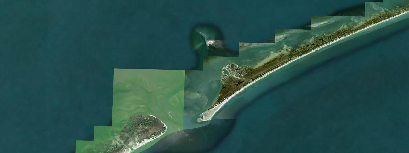
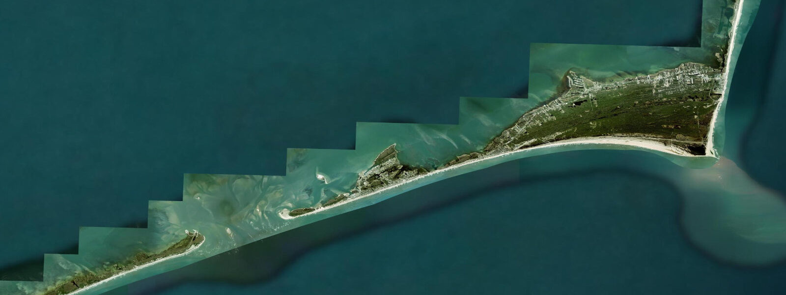
Ocracoke Island is accessible only by ferry — a 2.5-hour state-run crossing from Swan Quarter or a 1-hour ride from Cedar Island. That isolation is the defining feature of the place, and the tides reinforce it. The island sits behind the Outer Banks, inside Pamlico Sound, and the tidal range is modest — around 0.6 to 0.8 metres — but the wind-driven water level variations in the shallow sound can be extreme. Northerly wind storms regularly push water out of the sound, leaving Ocracoke's harbour nearly dry; persistent southwest winds can flood Silver Lake (the harbour) above normal high-tide levels by 0.5 metres or more.
The Ocracoke Inlet on the south end of the island is one of the more navigable inlets on the Outer Banks, kept open by the strong tidal exchange between the Atlantic and Pamlico Sound. The ebb runs fast here — 2.5 to 3 knots on spring tides. Offshore fishermen pass through the inlet on an incoming tide and return on the ebb to get the current assist in both directions.
Surf fishing on the Atlantic side is classic Outer Banks: drive-on beach access (free with a 4WD permit from Cape Hatteras National Seashore), wide sandy flats at low tide, and productive red drum fishing in October and November. The fall drum run is Ocracoke's peak season — fish pushing 30 kilograms work the troughs and channels behind the bars. Most successful anglers fish the two hours after sunset on a rising tide.
Kayakers and paddleboarders use Pamlico Sound almost exclusively. The sound side is protected, shallow (1.5 to 3 metres in most of the areas used for paddling), and calm in low wind. The shallows north of the village have visible seagrass beds; spot fishing with wading rods for red drum and speckled trout is a popular local activity at low tide, when fish are pushed into the channels between the flats.
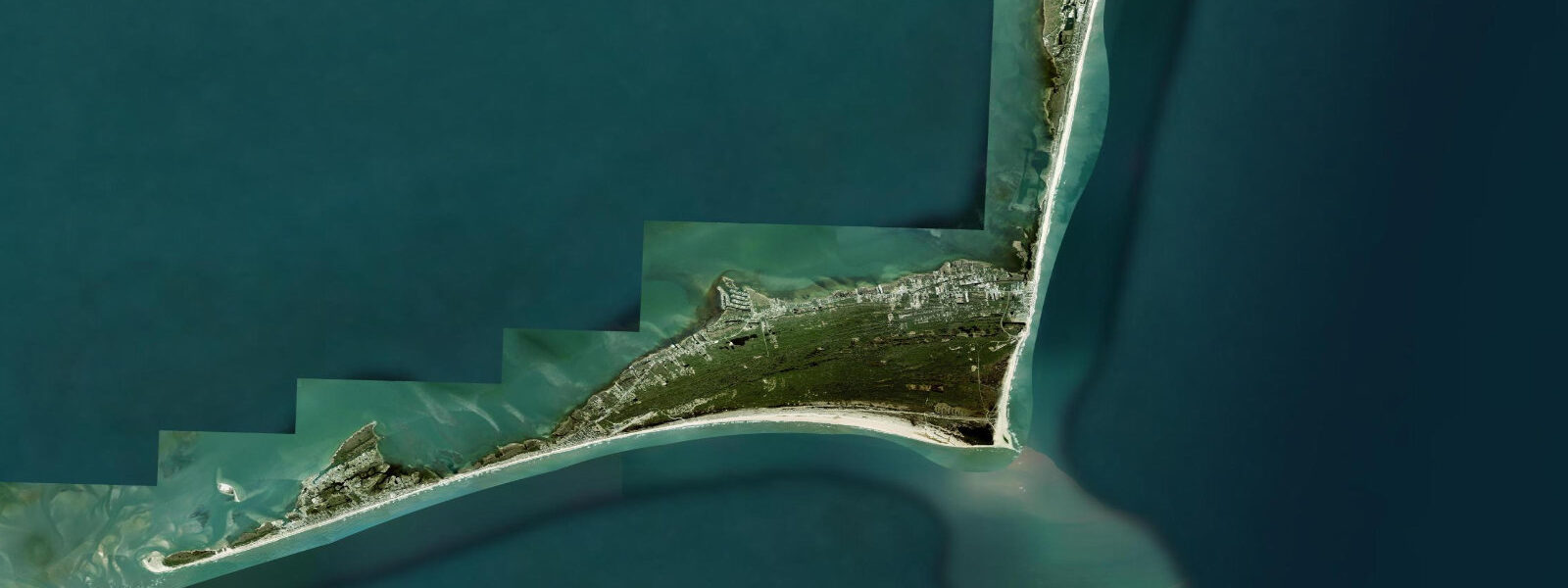
The village of Ocracoke is compact and walkable. Silver Lake harbour has a working dockside feel — trawlers, charter boats, and the occasional sailboat. The historic Ocracoke Lighthouse (1823, the oldest operating lighthouse in North Carolina) sits a short walk from the harbour; it's not open for climbing but the surrounding grounds are photogenic, particularly at golden hour.
Accommodations fill up months in advance for the fall drum run. Spring offers calmer conditions and fewer crowds, though the ferry schedule runs less frequently off-season. Always check ferry availability against your tide timing — in extreme low-water conditions after strong north winds, the Cedar Island ferry can ground in the approach channel.
Predictions on this page come from Open-Meteo Marine, a gridded global ocean model. Accuracy is typically within plus or minus 45 minutes on timing and 0.2 to 0.3 metres on height — model-derived, not from a local gauge. For authoritative US tide data, consult NOAA CO-OPS at tidesandcurrents.noaa.gov.
Tide questions about Ocracoke Island
Quick answers to the most common questions about tide times, range, and water access at Ocracoke Island.
What are the tides like at Ocracoke?
Ocracoke sits inside Pamlico Sound, where astronomical tidal range is small — around 0.6 to 0.8 metres. However, wind-driven water level changes frequently exceed the astronomical tide. Northerly winds blow water out of the sound, sometimes exposing harbour mud flats. Southerly winds pile water in, flooding Silver Lake above normal high-tide. The Ocracoke Inlet on the ocean side has stronger tidal currents (2.5 to 3 knots) due to the large tidal prism of Pamlico Sound.
How do I get to Ocracoke Island?
Ocracoke is accessible only by ferry. The NC Department of Transportation operates three routes: Cedar Island (1 hour, reservation required), Swan Quarter (2.5 hours, reservation required), and Hatteras (free, no reservation, about 40 minutes — runs frequently in summer). Reservations for the paid ferries are essential in summer and the fall drum run season. Check ncdot.gov/ferry for schedules and booking.
When is the best time to surf fish at Ocracoke?
The fall red drum run — October through mid-November — is the peak. Fish are large (10 to 30 kg), and the beach is less crowded than summer. A free beach driving permit is required from Cape Hatteras National Seashore (available online at recreation.gov or at the Ocracoke visitor center). The two hours after sunset on a rising tide, particularly around new or full moon, consistently produce the best bites. Mullet, cut spot, or peeler crab are the standard baits.
Is the sound side safe for paddling?
Pamlico Sound is generally calm for paddling in light wind, but it can build chop quickly in 15+ knot winds due to the fetch across the shallow sound. The typical afternoon sea breeze from the southwest in summer creates 1.0 to 1.5 metre wind waves by 2 p.m. — plan morning paddles and be back by noon. The shallows around the seagrass beds north of the village are protected and only 30 to 60 cm deep, ideal for wading or flatwater paddling.
Is Ocracoke accessible in winter?
Yes, but with reduced services. Most restaurants and accommodations close November through March; the Hatteras ferry runs a reduced schedule (roughly hourly in summer vs. every two hours or less in winter). The paid ferries continue year-round with reservations. Winter fishing — particularly black drum and striped bass from the island creeks — attracts a small but dedicated local following. Expect cold wind, empty beaches, and the occasional dramatic weather. It's a genuinely different experience from summer.
7-day tide table — Ocracoke Island
Heights relative to MSL. Predictions: Open-Meteo Marine (MeteoFrance SMOC, 0.08° grid) — heights relative to MSL (not chart datum / LAT). Model-derived.
| Day | Type | Time | Height |
|---|---|---|---|
| Fri 19 Jun | Low | 05:21 | -0.9m / -2.9ft |
| High | 11:47 | -0.2m / -0.6ft | |
| Low | 16:50 | -0.8m / -2.6ft | |
| High | 23:22 | -0.0m / -0.0ft | |
| Sat 20 Jun | Low | 06:10 | -0.8m / -2.5ft |
| High | 12:55 | -0.1m / -0.2ft | |
| Low | 18:12 | -0.7m / -2.2ft | |
| Sun 21 Jun | High | 00:45 | -0.1m / -0.2ft |
| Low | 07:04 | -0.8m / -2.6ft | |
| High | 13:55 | -0.1m / -0.3ft | |
| Low | 19:22 | -0.7m / -2.2ft | |
| Mon 22 Jun | High | 01:45 | -0.1m / -0.4ft |
| Low | 07:45 | -0.8m / -2.5ft | |
| High | 14:55 | -0.0m / -0.1ft | |
| Low | 20:38 | -0.7m / -2.2ft | |
| Tue 23 Jun | High | 15:52 | -0.1m / -0.2ft |
| Wed 24 Jun | Low | 09:20 | -0.8m / -2.6ft |
| High | 16:36 | -0.1m / -0.2ft | |
| Thu 25 Jun | Low | 10:06 | -0.8m / -2.7ft |