Cape Hatteras, NC tide times
Cape Hatteras, NC tide forecast — heights relative to MLLW.
Today's tide times for Cape Hatteras, NC
Tide times at Cape Hatteras, NC on Sunday, 26 July 2026: first low tide at 12:19am, first high tide at 05:50am, second low tide at 11:38am, second high tide at 06:26pm. Sunrise 06:07am, sunset 08:11pm.
Tide chart for Cape Hatteras, NC
24-hour cosine-interpolated curve around the present moment. Heights relative to MLLW. Predictions: NOAA CO-OPS station 8654400.
Sun, moon and conditions on Sun 26 Jul
Snapshot at build time — refreshes daily. Sea state from NOAA harmonic predictions.
Highs and lows next 7 days
Every predicted high and low for the next week, with the daily tidal coefficient (0–120; higher = bigger swing, > 95 means stronger currents).
Other spots nearby
The three closest curated TideTurtle locations to Cape Hatteras, NC, measured by great-circle distance.
Today's solunar windows
Solunar tradition: major periods are the ≈3h windows around moon transit and opposition; minor are ≈2h around moonrise and moonset. Pair with the local tide stage and wind for the best read.
Cycle dates near Cape Hatteras, NC
Next spring tide on Wed 29 Jul (range 1.1m / 3.5ft). Next neap on Tue 28 Jul.
Spring tides cluster around new and full moons (biggest swings). Neap tides land on quarter moons (smallest swings). See the spring tide and neap tide glossary entries for the why.
About tides at Cape Hatteras, NC
A short guide to the coastline at Cape Hatteras, NC — geography, sea state, and what the tide is actually doing under your feet.
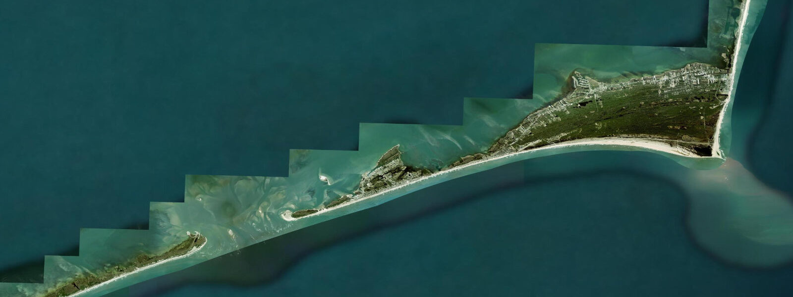
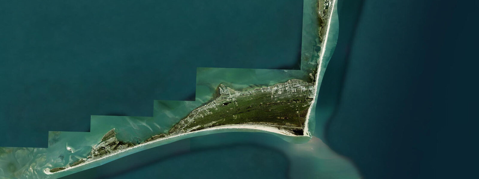
Cape Hatteras sits at the eastern apex of the Outer Banks, the long ribbon of sandy barrier islands that runs about 320 kilometres from the Virginia line at False Cape south past Nags Head, Rodanthe, and Avon to the working harbour at Hatteras village and on through Ocracoke and Portsmouth Island. The cape itself is the seaward bend where the islands turn from north-south to east-west and where the warm Gulf Stream and the cold Labrador Current converge offshore over the Diamond Shoals — a long shifting bar of sand and shoal water that has accumulated more than 2,000 documented shipwrecks since the seventeenth century, earning the regional name Graveyard of the Atlantic. 5 on neaps.
Two highs and two lows of comparable size about twelve and a half hours apart. Pamlico Sound on the inland side of the islands runs a much smaller wind-tide signal where the lunar phase barely registers and the wind direction over a 50-kilometre fetch dominates water-level variation by 30 to 60 centimetres on sustained events. The defining historical feature is the United States Life-Saving Service.
The federal precursor to the modern Coast Guard built a chain of life-saving stations along the Outer Banks coast through the 1870s and 1880s — Pea Island, Chicamacomico, Little Kinnakeet, Big Kinnakeet, Cape Hatteras, Creeds Hill, Durants — to rescue crews from the constant shipwreck traffic over the Diamond Shoals. The Pea Island station was the first US Life-Saving Service crew composed entirely of African American surfmen and operated from 1880 through 1947. The Cape Hatteras Lighthouse, the tallest brick lighthouse in North America at 64 metres, was built in 1870 and moved 880 metres inland in 1999 to escape the eroding shoreline that had crept within 36 metres of the foundation.
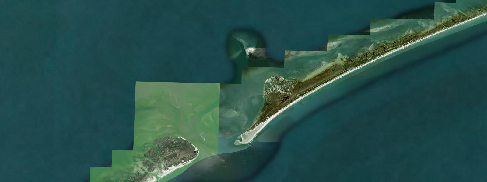
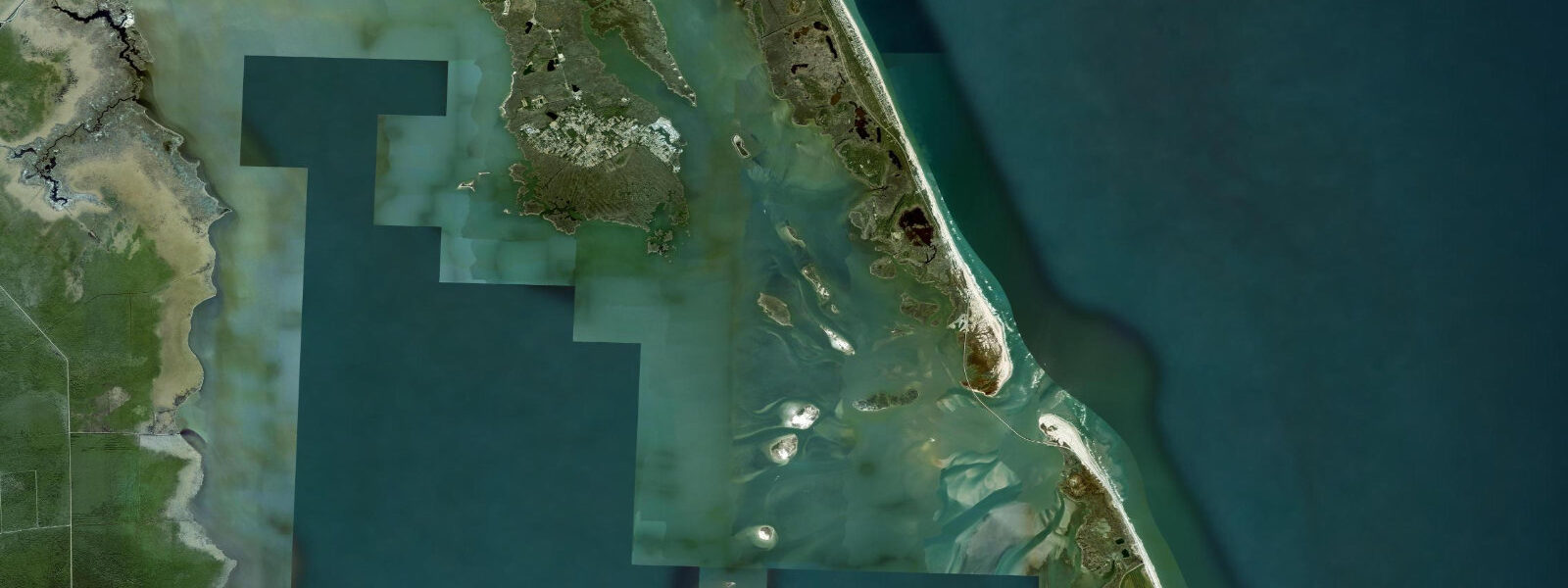
Surf at Avon Pier, S-Turns at Rodanthe, and the cape itself at Lighthouse Beach reads the open Atlantic swell and the sand-bar geometry that reshapes after every nor'easter. The Frisco fishing pier, the Hatteras-Ocracoke ferry, the Avon Pier striped-bass autumn run, the Cape Hatteras National Seashore beach-driving permits, and the Pamlico Sound flats fishing for redfish and speckled trout all read the table for different windows. Hurricane and nor'easter season can both stack water above predicted by a metre or more — Hurricane Dorian in September 2019 cut a new inlet through Ocracoke Island that the National Park Service eventually filled.
NOAA CO-OPS runs the authoritative gauge network and harmonic predictions; the National Hurricane Center is the authoritative real-time source during tropical landfall events.
Tide questions about Cape Hatteras, NC
Quick answers to the most common questions about tide times, range, and water access at Cape Hatteras, NC.
When is the next high tide at Cape Hatteras?
The hero block shows the next high tide at the USCG Hatteras gauge in local Eastern time (EST/EDT with DST). The 7-day table covers all daily highs and lows. The Pamlico Sound side runs a much smaller wind-tide signal where the lunar phase barely registers and the wind matters more for water-level variation.
What's the typical tide range at Cape Hatteras?
Mean range at the USCG Hatteras ocean-side gauge is about 1.0 metres — a moderate semidiurnal signal that the open-Atlantic exposure delivers cleanly. Spring tides push close to 1.4 metres and neaps drop near 0.5. Two highs and two lows of comparable size about twelve and a half hours apart. Pamlico Sound on the inland side runs a much smaller wind-tide signal.
Where do these tide predictions come from?
NOAA CO-OPS station 8654400 (USCG Cape Hatteras), harmonic analysis of decades of measured water levels at the ocean-side gauge. That's the gold-standard method for tide prediction in US waters and produces accuracy you can plan an Avon Pier striped-bass session or a Hatteras-Ocracoke ferry crossing around. See /methodology for the full explanation.
What's the Graveyard of the Atlantic and the Cape Hatteras Lighthouse history?
The Diamond Shoals offshore of Cape Hatteras have accumulated more than 2,000 documented shipwrecks since the seventeenth century — the regional name Graveyard of the Atlantic dates from that record. The federal Life-Saving Service built a chain of stations along the Outer Banks through the 1870s and 1880s, including the Pea Island station which was the first US Life-Saving Service crew composed entirely of African American surfmen. The Cape Hatteras Lighthouse, the tallest brick lighthouse in North America at 64 metres, was built in 1870 and moved 880 metres inland in 1999 to escape the eroding shoreline that had crept within 36 metres of the foundation.
Is this safe to use for navigation?
No. For piloting through the Diamond Shoals, the Hatteras Inlet, or any of the Outer Banks ocean approaches use the NOAA CO-OPS authoritative tide tables, the United States Coast Guard pilotage guidance and Local Notice to Mariners, and the National Hurricane Center storm warnings during hurricane and nor'easter events. The Diamond Shoals are unmarked across most of their length and the bar geometry reshapes after every major storm.
30-day tide table — Cape Hatteras, NC
Heights relative to MLLW. Predictions: NOAA CO-OPS station 8654400 — heights relative to MLLW.
| Day | Type | Time | Height |
|---|---|---|---|
| Sun 26 Jul | Low | 00:19 | 0.2m / 0.6ft |
| High | 05:50 | 0.7m / 2.2ft | |
| Low | 11:38 | 0.1m / 0.3ft | |
| High | 18:26 | 1.0m / 3.4ft | |
| Mon 27 Jul | Low | 01:01 | 0.2m / 0.5ft |
| High | 06:35 | 0.7m / 2.3ft | |
| Low | 12:24 | 0.1m / 0.2ft | |
| High | 19:07 | 1.1m / 3.5ft | |
| Tue 28 Jul | Low | 01:39 | 0.1m / 0.4ft |
| High | 07:17 | 0.7m / 2.4ft | |
| Low | 13:06 | 0.1m / 0.2ft | |
| High | 19:45 | 1.1m / 3.5ft | |
| Wed 29 Jul | Low | 02:15 | 0.1m / 0.3ft |
| High | 07:56 | 0.8m / 2.5ft | |
| Low | 13:47 | 0.0m / 0.1ft | |
| High | 20:21 | 1.1m / 3.6ft | |
| Thu 30 Jul | Low | 02:49 | 0.1m / 0.2ft |
| High | 08:35 | 0.8m / 2.6ft | |
| Low | 14:27 | 0.0m / 0.1ft | |
| High | 20:56 | 1.1m / 3.6ft | |
| Fri 31 Jul | Low | 03:21 | 0.1m / 0.2ft |
| High | 09:13 | 0.8m / 2.8ft | |
| Low | 15:07 | 0.0m / 0.1ft | |
| High | 21:30 | 1.1m / 3.5ft | |
| Sat 01 Aug | Low | 03:53 | 0.0m / 0.1ft |
| High | 09:52 | 0.9m / 2.9ft | |
| Low | 15:49 | 0.1m / 0.2ft | |
| High | 22:06 | 1.0m / 3.4ft | |
| Sun 02 Aug | Low | 04:26 | 0.0m / 0.1ft |
| High | 10:32 | 0.9m / 3.0ft | |
| Low | 16:33 | 0.1m / 0.2ft | |
| High | 22:43 | 1.0m / 3.2ft | |
| Mon 03 Aug | Low | 05:00 | 0.0m / 0.1ft |
| High | 11:16 | 1.0m / 3.1ft | |
| Low | 17:22 | 0.1m / 0.3ft | |
| High | 23:25 | 0.9m / 3.0ft | |
| Tue 04 Aug | Low | 05:39 | 0.0m / 0.1ft |
| High | 12:04 | 1.0m / 3.3ft | |
| Low | 18:17 | 0.1m / 0.4ft | |
| Wed 05 Aug | High | 00:11 | 0.9m / 2.8ft |
| Low | 06:23 | 0.0m / 0.0ft | |
| High | 12:59 | 1.0m / 3.4ft | |
| Low | 19:20 | 0.2m / 0.5ft | |
| Thu 06 Aug | High | 01:05 | 0.8m / 2.6ft |
| Low | 07:14 | 0.0m / 0.0ft | |
| High | 13:59 | 1.1m / 3.5ft | |
| Low | 20:29 | 0.2m / 0.6ft | |
| Fri 07 Aug | High | 02:06 | 0.8m / 2.5ft |
| Low | 08:13 | 0.0m / 0.0ft | |
| High | 15:05 | 1.1m / 3.7ft | |
| Low | 21:41 | 0.2m / 0.5ft | |
| Sat 08 Aug | High | 03:14 | 0.7m / 2.5ft |
| Low | 09:17 | -0.0m / -0.0ft | |
| High | 16:12 | 1.2m / 3.8ft | |
| Low | 22:49 | 0.1m / 0.4ft | |
| Sun 09 Aug | High | 04:24 | 0.8m / 2.5ft |
| Low | 10:24 | -0.0m / -0.1ft | |
| High | 17:15 | 1.2m / 4.0ft | |
| Low | 23:51 | 0.1m / 0.2ft | |
| Mon 10 Aug | High | 05:30 | 0.8m / 2.7ft |
| Low | 11:29 | -0.1m / -0.3ft | |
| High | 18:14 | 1.3m / 4.1ft | |
| Tue 11 Aug | Low | 00:45 | 0.0m / 0.1ft |
| High | 06:30 | 0.9m / 2.9ft | |
| Low | 12:30 | -0.1m / -0.4ft | |
| High | 19:08 | 1.3m / 4.2ft | |
| Wed 12 Aug | Low | 01:35 | -0.0m / -0.1ft |
| High | 07:26 | 1.0m / 3.1ft | |
| Low | 13:27 | -0.1m / -0.4ft | |
| High | 19:59 | 1.3m / 4.2ft | |
| Thu 13 Aug | Low | 02:22 | -0.1m / -0.2ft |
| High | 08:18 | 1.0m / 3.3ft | |
| Low | 14:22 | -0.1m / -0.4ft | |
| High | 20:47 | 1.2m / 4.0ft | |
| Fri 14 Aug | Low | 03:06 | -0.1m / -0.2ft |
| High | 09:09 | 1.1m / 3.5ft | |
| Low | 15:14 | -0.1m / -0.3ft | |
| High | 21:33 | 1.2m / 3.8ft | |
| Sat 15 Aug | Low | 03:49 | -0.1m / -0.2ft |
| High | 09:58 | 1.1m / 3.5ft | |
| Low | 16:06 | -0.0m / -0.1ft | |
| High | 22:17 | 1.1m / 3.5ft | |
| Sun 16 Aug | Low | 04:30 | -0.0m / -0.1ft |
| High | 10:46 | 1.1m / 3.5ft | |
| Low | 16:58 | 0.0m / 0.1ft | |
| High | 23:01 | 1.0m / 3.2ft | |
| Mon 17 Aug | Low | 05:12 | 0.0m / 0.1ft |
| High | 11:35 | 1.0m / 3.4ft | |
| Low | 17:51 | 0.1m / 0.4ft | |
| High | 23:46 | 0.9m / 2.9ft | |
| Tue 18 Aug | Low | 05:53 | 0.1m / 0.2ft |
| High | 12:26 | 1.0m / 3.3ft | |
| Low | 18:48 | 0.2m / 0.6ft | |
| Wed 19 Aug | High | 00:34 | 0.8m / 2.6ft |
| Low | 06:38 | 0.1m / 0.4ft | |
| High | 13:20 | 1.0m / 3.2ft | |
| Low | 19:50 | 0.3m / 0.8ft | |
| Thu 20 Aug | High | 01:26 | 0.7m / 2.4ft |
| Low | 07:27 | 0.2m / 0.6ft | |
| High | 14:19 | 1.0m / 3.1ft | |
| Low | 20:56 | 0.3m / 0.9ft | |
| Fri 21 Aug | High | 02:26 | 0.7m / 2.2ft |
| Low | 08:23 | 0.2m / 0.7ft | |
| High | 15:20 | 0.9m / 3.1ft | |
| Low | 22:01 | 0.3m / 1.0ft | |
| Sat 22 Aug | High | 03:29 | 0.7m / 2.2ft |
| Low | 09:23 | 0.2m / 0.7ft | |
| High | 16:19 | 1.0m / 3.2ft | |
| Low | 22:58 | 0.3m / 0.9ft | |
| Sun 23 Aug | High | 04:29 | 0.7m / 2.2ft |
| Low | 10:21 | 0.2m / 0.6ft | |
| High | 17:11 | 1.0m / 3.3ft | |
| Low | 23:45 | 0.2m / 0.8ft | |
| Mon 24 Aug | High | 05:21 | 0.7m / 2.4ft |
| Low | 11:13 | 0.2m / 0.5ft | |
| High | 17:56 | 1.0m / 3.4ft |