New York (The Battery), NY tide times
New York (The Battery), NY tide forecast — heights relative to MLLW.
Today's tide times for New York (The Battery), NY
Tide times at New York (The Battery), NY on Sunday, 26 July 2026: first low tide at 12:54am, first high tide at 06:53am, second low tide at 12:48pm, second high tide at 07:07pm. Sunrise 05:47am, sunset 08:18pm.
Tide chart for New York (The Battery), NY
24-hour cosine-interpolated curve around the present moment. Heights relative to MLLW. Predictions: NOAA CO-OPS station 8518750.
Sun, moon and conditions on Sun 26 Jul
Snapshot at build time — refreshes daily. Sea state from NOAA harmonic predictions.
Highs and lows next 7 days
Every predicted high and low for the next week, with the daily tidal coefficient (0–120; higher = bigger swing, > 95 means stronger currents).
Other spots nearby
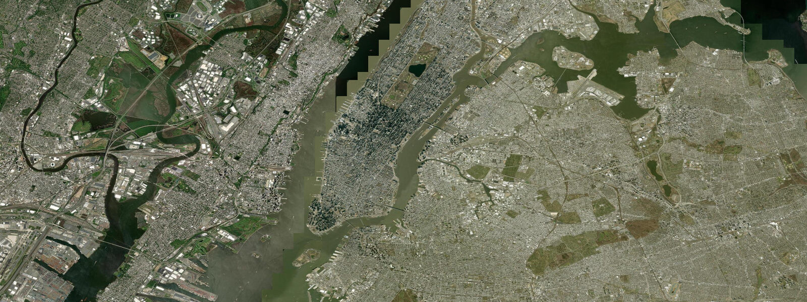
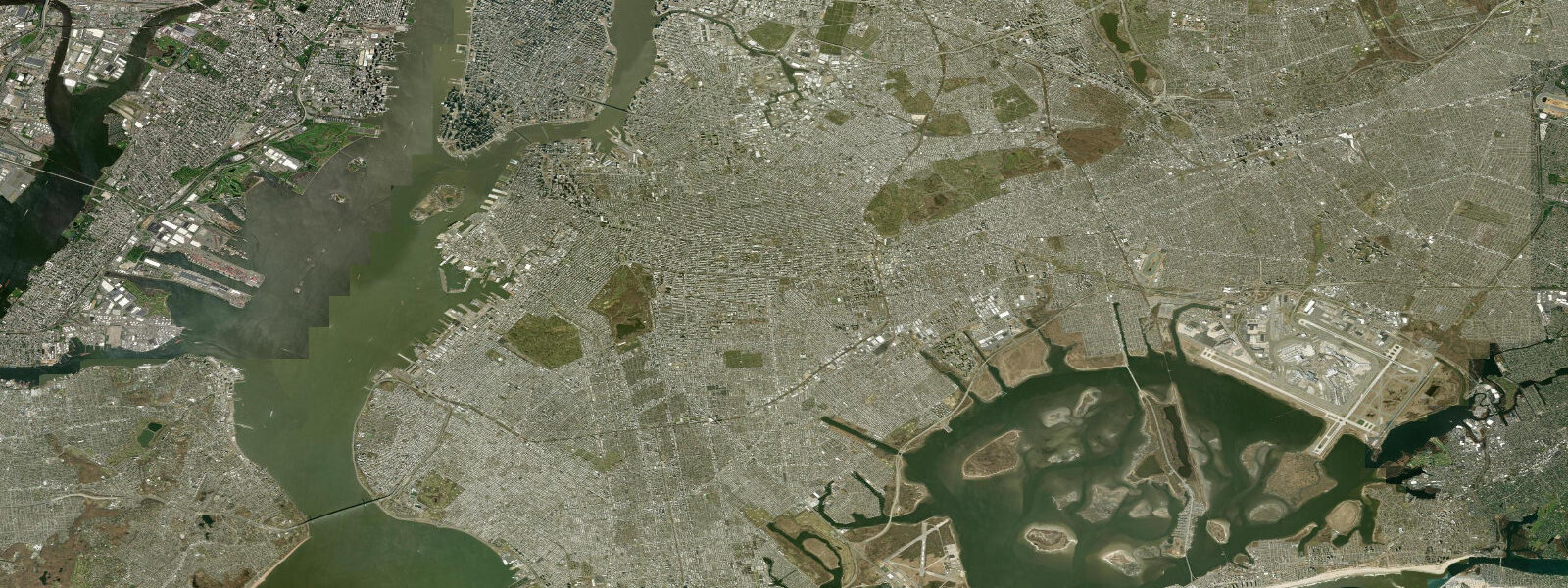
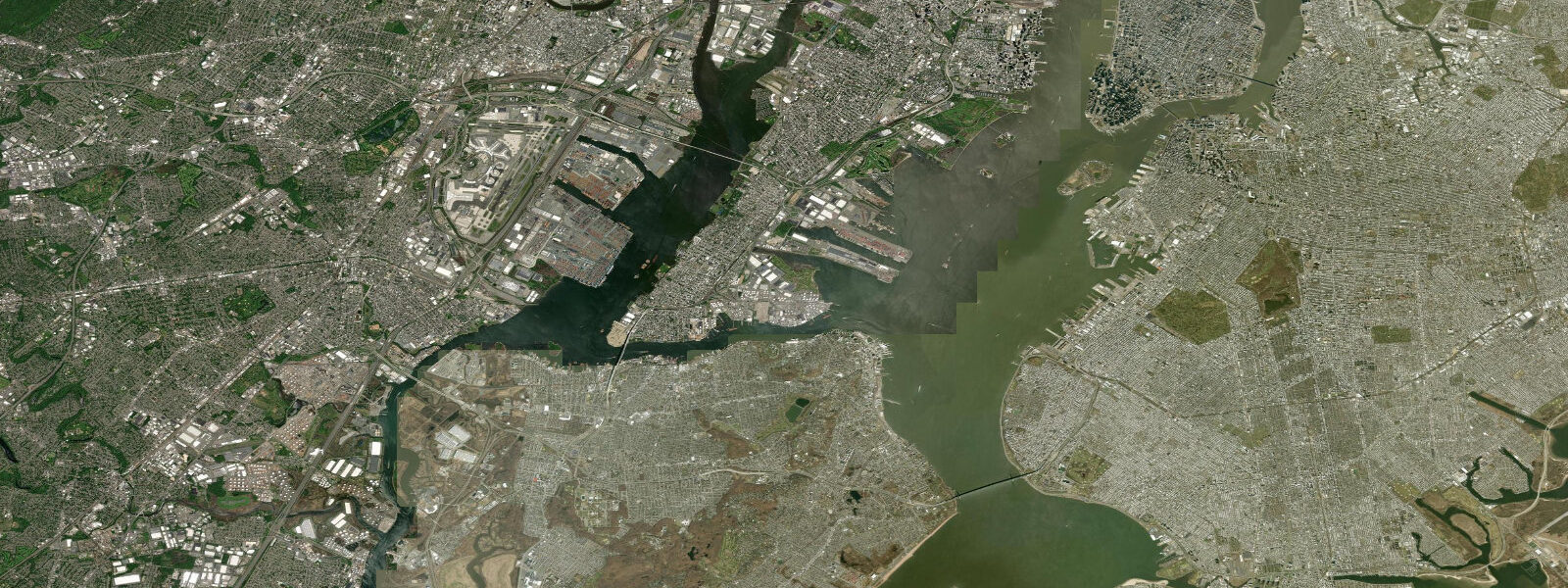
The three closest curated TideTurtle locations to New York (The Battery), NY, measured by great-circle distance.
Today's solunar windows
Solunar tradition: major periods are the ≈3h windows around moon transit and opposition; minor are ≈2h around moonrise and moonset. Pair with the local tide stage and wind for the best read.
Cycle dates near New York (The Battery), NY
Next spring tide on Thu 30 Jul (range 1.6m / 5.2ft). Next neap on Mon 27 Jul.
Spring tides cluster around new and full moons (biggest swings). Neap tides land on quarter moons (smallest swings). See the spring tide and neap tide glossary entries for the why.
About tides at New York (The Battery), NY
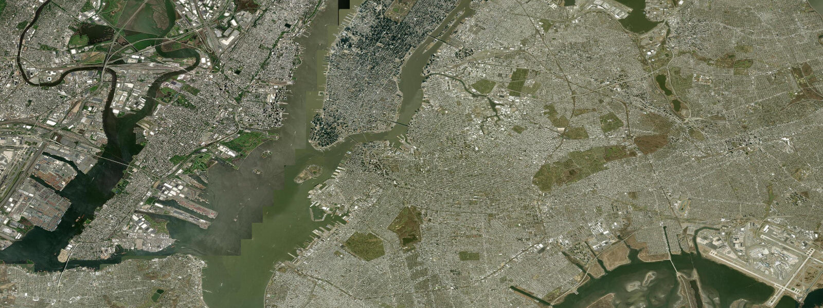
A short guide to the coastline at New York (The Battery), NY — geography, sea state, and what the tide is actually doing under your feet.
The Battery gauge sits at the southern tip of Manhattan, where the Hudson meets the East River and the Atlantic tide pushes up through the Narrows. The pattern here is semidiurnal — two highs and two lows of roughly equal size each day, about six hours apart. 7 metres on spring tides.
Currents in the Upper Bay are stronger than the height swing suggests, especially through Hell Gate and the East River, where ebb and flood can run over four knots. For anyone walking Battery Park, kayaking from Pier 26, or planning a Staten Island Ferry crossing, the height curve matters less than the timing — slack water is the calmest window, roughly an hour either side of high or low. Predictions come from NOAA CO-OPS station 8518750.
8 m above the predicted level. The forecasts on this page assume normal weather.
Tide questions about New York (The Battery), NY
Quick answers to the most common questions about tide times, range, and water access at New York (The Battery), NY.
When is the next high tide at The Battery?
The hero block above shows the next high tide at The Battery in local Eastern time, with the height above MLLW. Scroll down for the 7-day table covering both daily highs and lows. For storm surge or coastal flood watches, the National Weather Service New York office is the authoritative source.
What's the typical tide range at The Battery?
Mean range is about 1.4 metres at New York Harbor. Spring tides push to roughly 1.7 metres, neap tides drop to about 1.0 metre. The Battery sits inside the harbour, so the swing is gentler than open Atlantic shoreline like Sandy Hook. Wind from the east or south can push water levels noticeably higher than predicted, even in fair weather.
Why does the East River flow so fast?
The East River is a tidal strait, not a river. It connects Long Island Sound and New York Harbor, and the tide reaches each end at different times. The phase difference forces water through Hell Gate at currents that can exceed four knots. The strongest flow happens roughly midway between high and low tide at The Battery — slack water is around the actual high and low.
Where do these tide predictions come from?
NOAA CO-OPS station 8518750 (The Battery, NY). It's one of the longest continuous tide records in the US, dating back to 1856. NOAA uses harmonic analysis on the historical data to project future tides — a high-accuracy method that nails the astronomical component to within a few minutes and a few centimetres under normal conditions.
Is this safe to use for navigation?
No. For piloting in New York Harbor, use NOAA's official chart and current products and the latest USCG notices. Tide height and current at The Battery can shift significantly with weather and Hudson River discharge in ways harmonic prediction doesn't capture.
30-day tide table — New York (The Battery), NY
Heights relative to MLLW. Predictions: NOAA CO-OPS station 8518750 — heights relative to MLLW.
| Day | Type | Time | Height |
|---|---|---|---|
| Sun 26 Jul | Low | 00:54 | 0.2m / 0.8ft |
| High | 06:53 | 1.2m / 3.9ft | |
| Low | 12:48 | 0.3m / 1.0ft | |
| High | 19:07 | 1.6m / 5.1ft | |
| Mon 27 Jul | Low | 01:39 | 0.2m / 0.6ft |
| High | 07:38 | 1.2m / 4.1ft | |
| Low | 13:33 | 0.3m / 0.9ft | |
| High | 19:49 | 1.6m / 5.2ft | |
| Tue 28 Jul | Low | 02:22 | 0.1m / 0.5ft |
| High | 08:19 | 1.3m / 4.3ft | |
| Low | 14:18 | 0.3m / 0.8ft | |
| High | 20:27 | 1.6m / 5.3ft | |
| Wed 29 Jul | Low | 03:03 | 0.1m / 0.3ft |
| High | 08:58 | 1.3m / 4.4ft | |
| Low | 15:02 | 0.2m / 0.8ft | |
| High | 21:02 | 1.6m / 5.3ft | |
| Thu 30 Jul | Low | 03:42 | 0.1m / 0.2ft |
| High | 09:35 | 1.4m / 4.5ft | |
| Low | 15:43 | 0.2m / 0.7ft | |
| High | 21:36 | 1.6m / 5.3ft | |
| Fri 31 Jul | Low | 04:18 | 0.0m / 0.1ft |
| High | 10:10 | 1.4m / 4.6ft | |
| Low | 16:22 | 0.2m / 0.7ft | |
| High | 22:09 | 1.6m / 5.2ft | |
| Sat 01 Aug | Low | 04:52 | 0.0m / 0.1ft |
| High | 10:45 | 1.4m / 4.7ft | |
| Low | 16:59 | 0.2m / 0.7ft | |
| High | 22:45 | 1.5m / 5.1ft | |
| Sun 02 Aug | Low | 05:24 | 0.0m / 0.1ft |
| High | 11:21 | 1.5m / 4.8ft | |
| Low | 17:38 | 0.2m / 0.7ft | |
| High | 23:26 | 1.5m / 4.9ft | |
| Mon 03 Aug | Low | 05:56 | 0.1m / 0.2ft |
| High | 12:03 | 1.5m / 4.9ft | |
| Low | 18:22 | 0.3m / 0.8ft | |
| Tue 04 Aug | High | 00:14 | 1.4m / 4.7ft |
| Low | 06:32 | 0.1m / 0.4ft | |
| High | 12:50 | 1.5m / 5.1ft | |
| Low | 19:17 | 0.3m / 1.0ft | |
| Wed 05 Aug | High | 01:08 | 1.4m / 4.5ft |
| Low | 07:17 | 0.1m / 0.5ft | |
| High | 13:41 | 1.6m / 5.2ft | |
| Low | 20:30 | 0.3m / 1.0ft | |
| Thu 06 Aug | High | 02:06 | 1.3m / 4.3ft |
| Low | 08:18 | 0.2m / 0.6ft | |
| High | 14:36 | 1.6m / 5.3ft | |
| Low | 21:46 | 0.3m / 1.0ft | |
| Fri 07 Aug | High | 03:08 | 1.3m / 4.2ft |
| Low | 09:32 | 0.2m / 0.7ft | |
| High | 15:38 | 1.6m / 5.4ft | |
| Low | 22:54 | 0.2m / 0.8ft | |
| Sat 08 Aug | High | 04:19 | 1.3m / 4.2ft |
| Low | 10:44 | 0.2m / 0.6ft | |
| High | 16:50 | 1.7m / 5.4ft | |
| Low | 23:55 | 0.1m / 0.5ft | |
| Sun 09 Aug | High | 05:35 | 1.3m / 4.3ft |
| Low | 11:49 | 0.1m / 0.4ft | |
| High | 18:02 | 1.7m / 5.6ft | |
| Mon 10 Aug | Low | 00:52 | 0.1m / 0.2ft |
| High | 06:42 | 1.4m / 4.7ft | |
| Low | 12:50 | 0.1m / 0.2ft | |
| High | 19:03 | 1.8m / 5.8ft | |
| Tue 11 Aug | Low | 01:46 | -0.0m / -0.1ft |
| High | 07:39 | 1.5m / 5.0ft | |
| Low | 13:47 | 0.0m / 0.0ft | |
| High | 19:57 | 1.8m / 6.0ft | |
| Wed 12 Aug | Low | 02:37 | -0.1m / -0.4ft |
| High | 08:31 | 1.6m / 5.3ft | |
| Low | 14:43 | -0.0m / -0.1ft | |
| High | 20:47 | 1.8m / 6.0ft | |
| Thu 13 Aug | Low | 03:26 | -0.2m / -0.5ft |
| High | 09:22 | 1.7m / 5.4ft | |
| Low | 15:35 | -0.0m / -0.1ft | |
| High | 21:35 | 1.8m / 5.9ft | |
| Fri 14 Aug | Low | 04:12 | -0.2m / -0.5ft |
| High | 10:11 | 1.7m / 5.5ft | |
| Low | 16:24 | -0.0m / -0.0ft | |
| High | 22:24 | 1.7m / 5.7ft | |
| Sat 15 Aug | Low | 04:55 | -0.1m / -0.4ft |
| High | 11:01 | 1.7m / 5.5ft | |
| Low | 17:11 | 0.0m / 0.2ft | |
| High | 23:13 | 1.6m / 5.3ft | |
| Sun 16 Aug | Low | 05:36 | -0.0m / -0.1ft |
| High | 11:50 | 1.6m / 5.4ft | |
| Low | 17:57 | 0.1m / 0.4ft | |
| Mon 17 Aug | High | 00:03 | 1.5m / 5.0ft |
| Low | 06:17 | 0.1m / 0.3ft | |
| High | 12:39 | 1.6m / 5.2ft | |
| Low | 18:46 | 0.2m / 0.8ft | |
| Tue 18 Aug | High | 00:54 | 1.4m / 4.6ft |
| Low | 07:00 | 0.2m / 0.7ft | |
| High | 13:27 | 1.5m / 5.1ft | |
| Low | 19:42 | 0.3m / 1.1ft | |
| Wed 19 Aug | High | 01:45 | 1.3m / 4.3ft |
| Low | 07:47 | 0.3m / 1.0ft | |
| High | 14:14 | 1.5m / 4.9ft | |
| Low | 20:43 | 0.4m / 1.3ft | |
| Thu 20 Aug | High | 02:35 | 1.2m / 4.0ft |
| Low | 08:43 | 0.4m / 1.3ft | |
| High | 15:02 | 1.5m / 4.8ft | |
| Low | 21:46 | 0.4m / 1.4ft | |
| Fri 21 Aug | High | 03:27 | 1.2m / 3.8ft |
| Low | 09:43 | 0.4m / 1.5ft | |
| High | 15:54 | 1.4m / 4.7ft | |
| Low | 22:45 | 0.4m / 1.3ft | |
| Sat 22 Aug | High | 04:27 | 1.1m / 3.7ft |
| Low | 10:41 | 0.4m / 1.5ft | |
| High | 16:52 | 1.4m / 4.7ft | |
| Low | 23:37 | 0.4m / 1.2ft | |
| Sun 23 Aug | High | 05:30 | 1.2m / 3.8ft |
| Low | 11:34 | 0.4m / 1.4ft | |
| High | 17:51 | 1.5m / 4.8ft | |
| Mon 24 Aug | Low | 00:24 | 0.3m / 1.0ft |
| High | 06:26 | 1.2m / 4.0ft | |
| Low | 12:22 | 0.4m / 1.2ft | |
| High | 18:41 | 1.5m / 5.0ft |