Sandy Hook, NJ tide times
Sandy Hook, NJ tide forecast — heights relative to MSL.
Today's tide times for Sandy Hook, NJ
Tide times at Sandy Hook, NJ on Friday, 19 June 2026: first low tide at 04:53am, first high tide at 11:14am, second low tide at 05:15pm, second high tide at 11:23pm. Sunrise 05:25am, sunset 08:29pm.
Tide chart for Sandy Hook, NJ
24-hour cosine-interpolated curve around the present moment. Heights relative to MSL. Predictions: Predictions: Open-Meteo Marine (MeteoFrance SMOC, 0.08° grid).
Sun, moon and conditions on Fri 19 Jun
Snapshot at build time — refreshes daily. Sea state from Open-Meteo Marine.
Highs and lows next 7 days
Every predicted high and low for the next week, with the daily tidal coefficient (0–120; higher = bigger swing, > 95 means stronger currents).
Other spots nearby
The three closest curated TideTurtle locations to Sandy Hook, NJ, measured by great-circle distance.
Today's solunar windows
Solunar tradition: major periods are the ≈3h windows around moon transit and opposition; minor are ≈2h around moonrise and moonset. Pair with the local tide stage and wind for the best read.
Cycle dates near Sandy Hook, NJ
Next spring tide on Fri 19 Jun (range 1.6m / 5.2ft). Next neap on Tue 23 Jun.
Spring tides cluster around new and full moons (biggest swings). Neap tides land on quarter moons (smallest swings). See the spring tide and neap tide glossary entries for the why.
About tides at Sandy Hook, NJ
A short guide to the coastline at Sandy Hook, NJ — geography, sea state, and what the tide is actually doing under your feet.
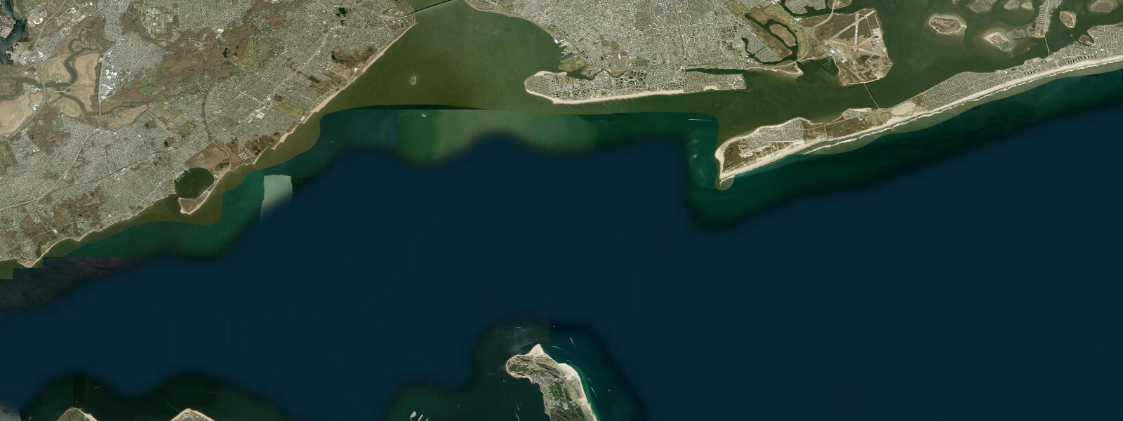
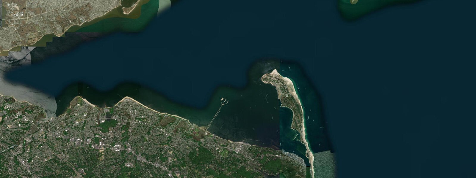
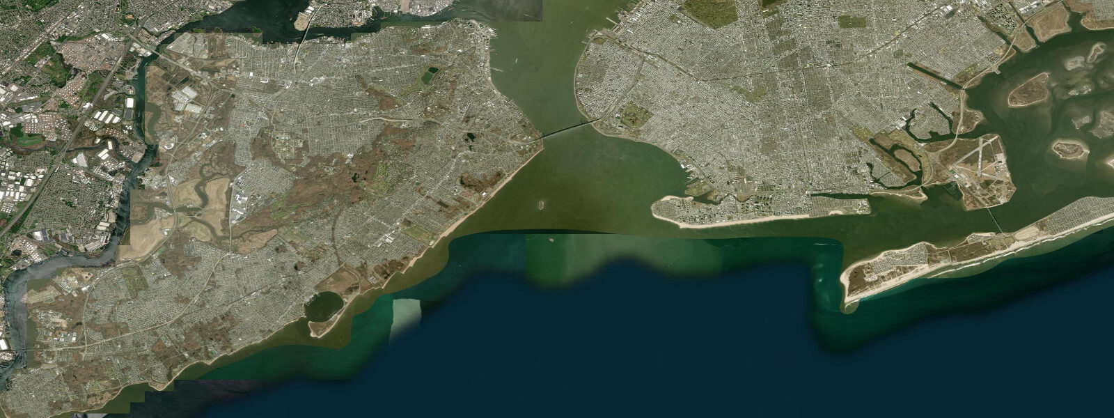
Sandy Hook is the northernmost unit of Gateway National Recreation Area, a barrier spit extending 9 kilometres into Lower New York Bay at the gateway to New York Harbour. The spit is narrow — 200 to 800 metres wide — and the tidal character on the bay side differs from the ocean side. On the ocean (east) side, mean spring range runs around 1.6 metres in a semidiurnal pattern. On the Raritan Bay side, the range is similar but the character is gentler — calmer water, shallower gradient, and a broader intertidal zone exposed at low water.
Sandy Hook Lighthouse (1764) is the oldest continuously operating lighthouse in the United States. At 26 metres, it marks the Hook's tip and the main shipping lane approach to New York. The lighthouse still guides container ships and tankers entering the Ambrose Channel — the federal shipping channel visible offshore. The tidal current in the main channel runs to 1.5 knots and the deep-water approach is tightly regulated.
Gunnison Beach on the Raritan Bay side (formally clothing-optional, the oldest federal clothing-optional beach in the US) exposes a wide intertidal zone at low water, with firm sand and shallow gradient making it one of the calmer swimming and paddling beaches in the New York metro area. The contrast with the ocean-facing beaches is instructive: while the ocean side receives Atlantic swell, the Raritan Bay side is almost completely protected.
Birding on Sandy Hook is exceptional during spring and fall migration. The Hook projects into the sea and acts as a natural staging area for hawks, raptors, and passerines funnelling down the Atlantic Flyway. The hawk watch at the tip in September and October counts thousands of sharp-shinned hawks, Cooper's hawks, and merlins per day during peak migration. Shorebirds on the exposed tidal flats at the bay side in late July through September include dunlin, dowitchers, and whimbrel.
Fishing from Sandy Hook — the Tip, the bay beaches, and the ocean beach rock jetties — produces striped bass, bluefish, and weakfish. The channel current and the tide rips off the tip concentrate fish on tidal transitions. The ocean jetties at the southern end (Highlands, NJ side) are heavily fished for bass and blues on the incoming tide in spring and autumn.
Predictions on this page come from Open-Meteo Marine, a gridded global ocean model. Accuracy is typically within plus or minus 45 minutes on timing and 0.2 to 0.3 metres on height — model-derived, not from a local gauge. For authoritative US tide data, consult NOAA CO-OPS at tidesandcurrents.noaa.gov.
Tide questions about Sandy Hook, NJ
Quick answers to the most common questions about tide times, range, and water access at Sandy Hook, NJ.
When is high tide at Sandy Hook?
The tide table on this page shows predicted times in Eastern Time. Sandy Hook runs semidiurnal with mean spring range around 1.6 metres. The NOAA CO-OPS gauge at Sandy Hook (station 8531680) provides official harmonic predictions. Sandy Hook tidal timing runs about 30 minutes ahead of the Battery in Manhattan — the tidal wave arrives at the Hook before working its way up the bay into the harbour.
What beaches are at Sandy Hook?
Sandy Hook has seven beach areas. North Beach and the ocean beaches on the east side face the Atlantic with moderate swell and lifeguard coverage in summer. Gunnison Beach on the Raritan Bay west side is the clothing-optional beach — calmer, wider intertidal zone, good for families looking for flatter water. North Beach parking fills fastest on summer weekends; arrive before 9 AM or use the ferry from Atlantic Highlands. The beaches close when the parking areas reach capacity.
How do I get to Sandy Hook without a car?
Seastreak ferry from Manhattan (Atlantic Highlands terminal, 35 min) runs on summer weekends from Pier 11/Wall Street and East 35th Street. NJ Transit bus from the Port Authority serves Atlantic Highlands where the ferry departs. The ferry lands at the Sandy Hook marina on the bay side — a short walk to North Beach. A seasonal shuttle bus runs between the ferry landing and the various beach areas on the peninsula. Bicycle access via the Henry Hudson Trail from Atlantic Highlands is also an option for fit cyclists.
Where can I fish at Sandy Hook?
The Tip (northern end) is the most productive location for striped bass and bluefish — the current race off the tip concentrates baitfish at tidal transitions, especially during the incoming tide in spring and autumn. Fishing Cove on the Raritan Bay side is accessible for fluke (summer flounder) and weakfish on incoming tide. The rock jetties at the southern approach to Highlands produce bass and blues from April through November. A New Jersey saltwater fishing registry (free) is required to fish from shore.
Is it safe to kayak around Sandy Hook?
The Raritan Bay side of Sandy Hook is manageable for intermediate sea kayakers in calm conditions — the bay is protected from ocean swell and the tidal range is moderate. The outer ocean side requires awareness of Atlantic swell and the shipping channel traffic. The channel between Sandy Hook and Highlands carries significant vessel traffic including the Seastreak ferry; crossing the channel demands clear visibility and VHF communication. Do not launch from the Tip without understanding the current patterns.
7-day tide table — Sandy Hook, NJ
Heights relative to MSL. Predictions: Open-Meteo Marine (MeteoFrance SMOC, 0.08° grid) — heights relative to MSL (not chart datum / LAT). Model-derived.
| Day | Type | Time | Height |
|---|---|---|---|
| Fri 19 Jun | Low | 04:53 | -1.3m / -4.4ft |
| High | 11:14 | 0.2m / 0.6ft | |
| Low | 17:15 | -1.1m / -3.7ft | |
| High | 23:23 | 0.3m / 0.9ft | |
| Sat 20 Jun | Low | 05:58 | -1.3m / -4.3ft |
| High | 12:07 | 0.1m / 0.4ft | |
| Low | 18:11 | -1.1m / -3.7ft | |
| Sun 21 Jun | High | 00:20 | 0.1m / 0.5ft |
| Low | 06:51 | -1.2m / -4.1ft | |
| High | 13:01 | 0.1m / 0.4ft | |
| Low | 19:20 | -1.0m / -3.4ft | |
| Mon 22 Jun | High | 01:10 | 0.1m / 0.3ft |
| Low | 07:42 | -1.1m / -3.6ft | |
| High | 13:51 | 0.2m / 0.8ft | |
| Tue 23 Jun | Low | 08:36 | -1.1m / -3.7ft |
| High | 14:39 | 0.1m / 0.4ft | |
| Low | 21:16 | -1.0m / -3.4ft | |
| Wed 24 Jun | High | 03:02 | -0.1m / -0.4ft |
| Low | 09:24 | -1.2m / -3.8ft | |
| High | 15:36 | 0.0m / 0.1ft | |
| Low | 22:15 | -1.1m / -3.6ft | |
| Thu 25 Jun | High | 03:55 | -0.1m / -0.5ft |
| Low | 10:11 | -1.1m / -3.7ft | |
| High | 16:35 | 0.1m / 0.3ft | |
| Low | 19:00 | -0.2m / -0.6ft |