Rye, NH tide times
Rye, NH tide forecast — heights relative to MSL.
Today's tide times for Rye, NH
Tide times at Rye, NH on Sunday, 21 June 2026: first high tide at 04:33am, first low tide at 10:44am, second high tide at 05:06pm, second low tide at 11:19pm. Sunrise 05:03am, sunset 08:25pm.
Tide chart for Rye, NH
24-hour cosine-interpolated curve around the present moment. Heights relative to MSL. Predictions: Predictions: Open-Meteo Marine (MeteoFrance SMOC, 0.08° grid).
Sun, moon and conditions on Sun 21 Jun
Snapshot at build time — refreshes daily. Sea state from Open-Meteo Marine.
Highs and lows next 7 days
Every predicted high and low for the next week, with the daily tidal coefficient (0–120; higher = bigger swing, > 95 means stronger currents).
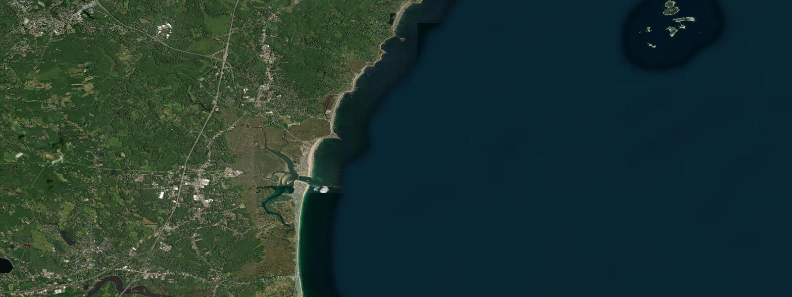
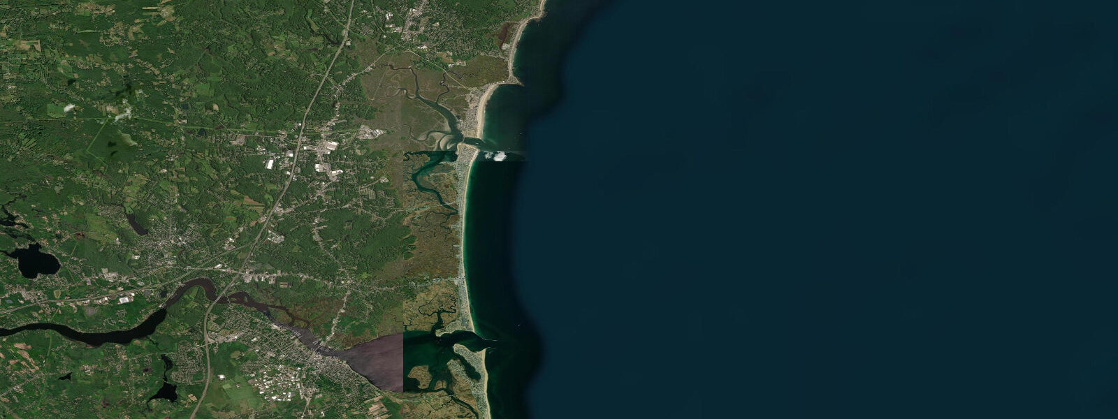
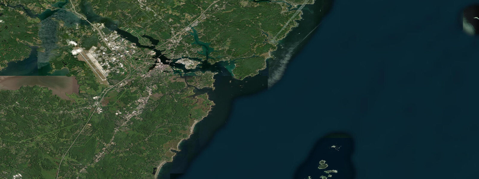
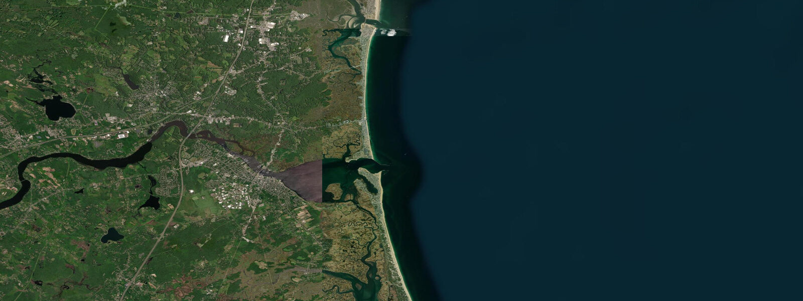
Other spots nearby
The three closest curated TideTurtle locations to Rye, NH, measured by great-circle distance.
Today's solunar windows
Solunar tradition: major periods are the ≈3h windows around moon transit and opposition; minor are ≈2h around moonrise and moonset. Pair with the local tide stage and wind for the best read.
Cycle dates near Rye, NH
Last spring tide on Sat 20 Jun (range 2.7m / 9.0ft). Next spring tide on Fri 26 Jun (range 2.6m / 8.6ft). Next neap on Wed 24 Jun.
Spring tides cluster around new and full moons (biggest swings). Neap tides land on quarter moons (smallest swings). See the spring tide and neap tide glossary entries for the why.
About tides at Rye, NH
A short guide to the coastline at Rye, NH — geography, sea state, and what the tide is actually doing under your feet.
Rye sits on the rocky northern reach of New Hampshire's 29-kilometre ocean coast, a stretch of glacially sculpted ledge, cobble beaches, and small coves between Hampton Beach to the south and Portsmouth Harbor to the north. The tidal regime is semidiurnal — two high and two low tides per day — with a mean spring range around 2.7 metres MLLW, consistent with the Gulf of Maine pattern that dominates this coast. What makes Rye distinctive is the intertidal zone exposed by that range: low water here reveals a remarkable extent of ledge platform, tidal pool habitat, and rocky marine environment that is simply absent on the sandy Hampton Beach stretch a few kilometres south.
Odiorne Point State Park at the northern end of the Rye shoreline occupies the site of the first European settlement in New Hampshire — a 1623 outpost that preceded the founding of Portsmouth. The state park's 135 acres include rocky intertidal ledges, salt marsh, and the Seacoast Science Center, which operates as an educational facility focused on the Gulf of Maine marine environment. The tidal pools at Odiorne are among the best-documented and most accessible marine intertidal education sites in New England — they serve as a field site for the New England Aquarium's education programs and are used regularly by school groups from across the region.
At low water spring tides, the Odiorne ledge platform extends 60 to 80 metres beyond the mean high-tide line, exposing a layered succession of tidal zones. The high intertidal zone hosts periwinkles, barnacles, and rockweed. The mid-zone holds mussels, green and purple sea urchins, dog whelks, and the beginnings of the kelp fringe. The low intertidal and shallow subtidal pools shelter sea stars, hermit crabs, anemones, and small fish (sculpin, cunner) in clear, cold Gulf of Maine water. Water temperatures at Rye run 2 to 4°C in January-February and peak around 18 to 20°C in August — cold by Atlantic standards, reflecting the Gulf of Maine's direct connection to the Labrador Current.
The cobble and sand pocket beaches at Jenness Beach State Park, south of Odiorne, are the main swimming and surfing access point in the Rye town stretch. Jenness is a narrow beach at high tide — the 2.7-metre spring range strips the foreshore down to wet cobble at the upper beach face — but it widens significantly at low water. The surf break at Jenness picks up more north and northeast swell than Hampton Beach to the south, and the local surf community often prefers its less crowded conditions during autumn and winter swell windows.
Rye Harbor itself is a small dredged basin at the base of a protective jetty system, used by lobster boats, small charter vessels, and recreational craft. The harbor's approach is through a dredged channel in an otherwise rocky and shoal-strewn coast — depth in the channel is maintained to approximately 2.5 metres at MLLW, but the surrounding ledge shoals rapidly outside the markers. The tidal current in the harbor entrance is mild compared to Portsmouth Harbor's Piscataqua River system to the north, but the approach through the harbor mouth in any northeast swell requires attention.
Predictions on this page come from Open-Meteo Marine, a global gridded ocean model. Accuracy is typically within plus or minus 45 minutes on timing and 0.2 to 0.3 metres on height — model-derived, not from a local NOAA gauge. For authoritative US tidal data, consult NOAA CO-OPS at tidesandcurrents.noaa.gov; the nearest primary station is Portsmouth Harbor (station 8423898).
Tide questions about Rye, NH
Quick answers to the most common questions about tide times, range, and water access at Rye, NH.
When are the tidal pools at Odiorne Point exposed?
The richest tidal pools at Odiorne Point are accessible during the 2 to 3 hours around a low tide — particularly spring low tides when the mean lower low water level drops the furthest, exposing the full ledge platform. The tide table on this page shows predicted low tide times. Aim to arrive 90 minutes before the predicted low and stay until 90 minutes after — that 3-hour window gives access to the low-intertidal zone. Bring rubber-soled footwear; the weed-covered ledge is slippery. The Seacoast Science Center at Odiorne has tide-pool guides and interpretive staff in season.
Is the surfing at Rye / Jenness Beach good?
Jenness Beach is one of the better surf spots on the New Hampshire coast, picking up northeast and east groundswells with slightly more direct exposure than Hampton Beach to the south. Best conditions are autumn and winter (September through March) when 1.5 to 2.5 metre northeast swells arrive on 10 to 14 second periods. The tidal state affects the break: lower water tends to steepen the wave over the sand and cobble bottom; mid-tide is often the most consistent. Summer swells are small. The break is generally uncrowded compared to popular Massachusetts surf spots further south.
What marine life can I find in the Rye tidal pools?
The Odiorne Point tidal pools host a full succession of Gulf of Maine intertidal species. Upper pools: periwinkles (Littorina littorea), barnacles (Semibalanus balanoides), rockweed (Fucus vesiculosus). Mid-zone: blue mussels, dog whelks, green and purple sea urchins, hermit crabs. Low intertidal: sea stars (Asterias rubens), anemones (Metridium senile), cunner and sculpin in pools. The Seacoast Science Center operates a touch tank and educational programs that allow close observation of species that are difficult to find on open ledge. Water temperatures peak around 18 to 20°C in August.
Can I fish from the shore at Rye, NH?
Yes. The rocky ledge and jetty structure at Rye Harbor provides shore access for striped bass and bluefish in spring through autumn — bass move onto rocky structure on the incoming tide to feed in the surge zone. The harbor jetty is a productive location on the first two hours of the flood tide. Pollock and mackerel can be taken from the rocks in spring when schools move through on the Gulf of Maine coastal migration. The cold Gulf of Maine water also holds cod and haddock on the nearshore rocky bottom accessible to boat anglers from Rye Harbor.
Is this tide data safe to use for navigation near Rye Harbor?
No. Open-Meteo Marine gridded predictions are not a substitute for NOAA tidal data or local chart knowledge. The Rye shoreline is rocky and shoal-strewn, and the approach to Rye Harbor requires following the dredged channel markers precisely — the surrounding ledge shoals rapidly outside the buoyed route. Use NOAA Chart 13274, the NOAA CO-OPS predictions for Portsmouth Harbor (station 8423898), and consult the harbor master at Rye Harbor for current channel conditions. Do not approach the Rye shoreline in northeast swell conditions without local knowledge of the rock ledge geometry.
7-day tide table — Rye, NH
Heights relative to MSL. Predictions: Open-Meteo Marine (MeteoFrance SMOC, 0.08° grid) — heights relative to MSL (not chart datum / LAT). Model-derived.
| Day | Type | Time | Height |
|---|---|---|---|
| Sun 21 Jun | High | 04:33 | 0.9m / 3.1ft |
| Low | 10:44 | -1.8m / -5.9ft | |
| High | 17:06 | 0.9m / 3.0ft | |
| Low | 23:19 | -1.7m / -5.5ft | |
| Mon 22 Jun | High | 05:33 | 0.7m / 2.4ft |
| Low | 11:41 | -1.7m / -5.7ft | |
| High | 18:05 | 0.8m / 2.7ft | |
| Tue 23 Jun | Low | 00:21 | -1.5m / -5.1ft |
| High | 06:37 | 0.7m / 2.3ft | |
| Low | 12:43 | -1.6m / -5.2ft | |
| High | 19:01 | 0.8m / 2.7ft | |
| Wed 24 Jun | Low | 01:27 | -1.7m / -5.5ft |
| High | 07:37 | 0.5m / 1.7ft | |
| Low | 13:35 | -1.5m / -5.0ft | |
| High | 19:52 | 0.8m / 2.8ft | |
| Thu 25 Jun | Low | 02:18 | -1.7m / -5.4ft |
| High | 08:33 | 0.5m / 1.6ft | |
| Low | 14:31 | -1.5m / -4.8ft | |
| High | 20:47 | 0.8m / 2.7ft | |
| Fri 26 Jun | Low | 03:10 | -1.7m / -5.6ft |
| High | 21:35 | 0.9m / 3.0ft | |
| Sat 27 Jun | Low | 04:01 | -1.7m / -5.6ft |
| High | 10:18 | 0.5m / 1.7ft | |
| Low | 16:01 | -1.3m / -4.3ft | |
| High | 19:00 | -0.1m / -0.4ft |