
Hampton Beach, NH tide times
Hampton Beach, NH tide forecast — heights relative to MSL.
Today's tide times for Hampton Beach, NH
Tide times at Hampton Beach, NH on Sunday, 21 June 2026: first high tide at 04:35am, first low tide at 10:46am, second high tide at 05:09pm, second low tide at 11:21pm. Sunrise 05:04am, sunset 08:25pm.
Tide chart for Hampton Beach, NH
24-hour cosine-interpolated curve around the present moment. Heights relative to MSL. Predictions: Predictions: Open-Meteo Marine (MeteoFrance SMOC, 0.08° grid).
Sun, moon and conditions on Sun 21 Jun
Snapshot at build time — refreshes daily. Sea state from Open-Meteo Marine.
Highs and lows next 7 days
Every predicted high and low for the next week, with the daily tidal coefficient (0–120; higher = bigger swing, > 95 means stronger currents).
Other spots nearby
The three closest curated TideTurtle locations to Hampton Beach, NH, measured by great-circle distance.

Today's solunar windows
Solunar tradition: major periods are the ≈3h windows around moon transit and opposition; minor are ≈2h around moonrise and moonset. Pair with the local tide stage and wind for the best read.
Cycle dates near Hampton Beach, NH
Last spring tide on Sat 20 Jun (range 2.7m / 9.0ft). Next spring tide on Fri 26 Jun (range 2.6m / 8.6ft). Next neap on Wed 24 Jun.
Spring tides cluster around new and full moons (biggest swings). Neap tides land on quarter moons (smallest swings). See the spring tide and neap tide glossary entries for the why.
About tides at Hampton Beach, NH
A short guide to the coastline at Hampton Beach, NH — geography, sea state, and what the tide is actually doing under your feet.
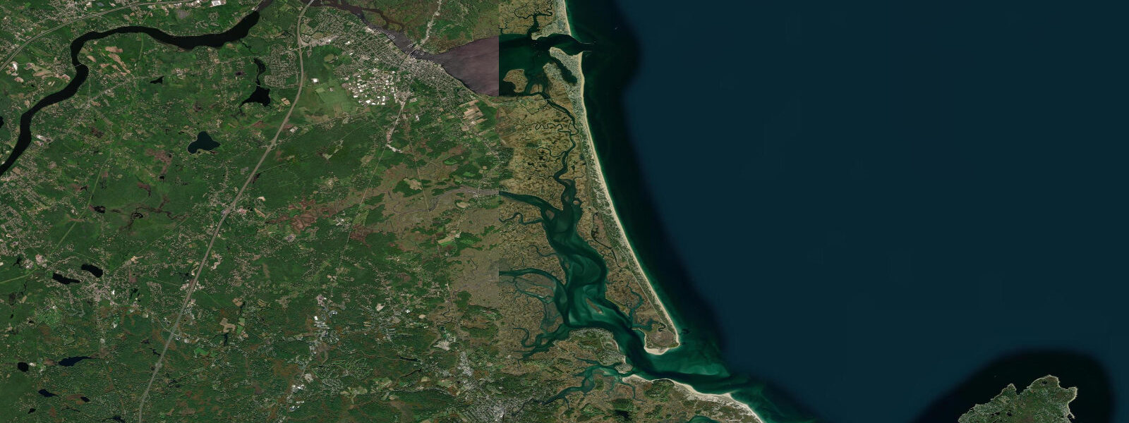
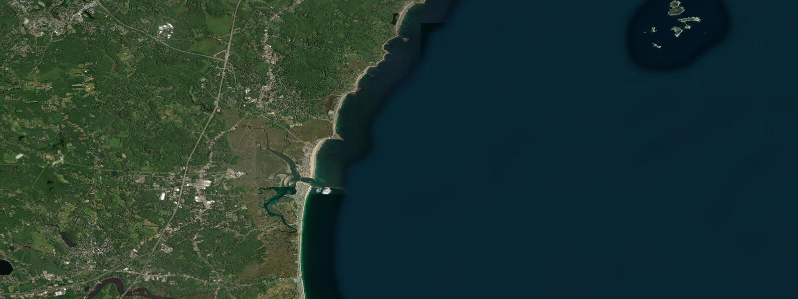
Hampton Beach is the dominant beach resort on New Hampshire's 29-kilometre ocean coast, a wide barrier beach backed by an estuarine inlet system and faced by the open Atlantic with exposure to south and east swells. The tidal regime is semidiurnal — two high and two low tides per day — with a mean spring range around 2.7 metres MLLW, putting Hampton firmly in the moderate-energy Gulf of Maine tidal system. The spring tide difference between high and low water moves the beach waterline 30 to 40 metres horizontally across the gently sloping foreshore, transforming the beach profile from a full-width expanse at low water to a narrowed, steeper face at high.
Hampton Harbor inlet, on the north end of the beach, is the tidal gateway for Hampton River and the back-bay marsh system that lies behind the barrier. The inlet narrows to roughly 100 metres at the mouth, which accelerates the tidal current significantly — on spring tides, ebb current through the inlet mouth reaches 2 to 3 knots, noticeable enough to affect swimmers near the jetties and to require active management by paddlers and small motorboats. The Hampton charter fishing fleet launches through the inlet, and the timing of departure is loosely coordinated with the tidal state — the outgoing tide provides a free push toward the offshore fishing grounds, and captains returning at the end of the day typically time arrivals on the final hours of the ebb to maintain depth through the shoaling inlet bar.
The surf break at Hampton Beach is sand bottom with a moveable bar system. Low tide tends to expose the outer bar and produce a faster, more critical wave if there's any Atlantic swell running; high tide covers the bar and softens the break. Summer swells are generally small (under 1 metre), but autumn and winter bring consistent 1.5 to 2.5 metre northeast and east ground swells that make Hampton one of the better beach breaks on the New Hampshire coast. The state's small coastline means Hampton is one of just two or three viable surf locations in New Hampshire, and the local surf community is tight-knit and protective of the conditions.
For beachgoers and swimmers, the 2.7-metre range creates a meaningful daily rhythm. The first hour of the outgoing tide — when the full beach is still covered and the water is at its peak height — is when rip current risk is highest at Hampton, as the beach's diagonal current channels drain quickly through cuts in the outer bar. By mid-ebb, the beach is wide, the bars are exposed, and the outgoing current has slowed. Lifeguard flags at Hampton indicate current conditions; the beach is patrolled in season (late June through Labor Day).
The Seabrook Nuclear Power Station is visible to the north from the Hampton Beach state park, its cooling structure a persistent landmark on the skyline. The station sits on the tidal flat edge at Seabrook Harbor — a reminder that industrial and recreational coastal use coexist on this short coast. The Seabrook Beach area immediately adjacent to the plant boundary is residential and quieter than the Hampton Beach resort core.
Predictions on this page come from Open-Meteo Marine, a global gridded ocean model. Accuracy is typically within plus or minus 45 minutes on timing and 0.2 to 0.3 metres on height — model-derived, not from a local NOAA gauge. For authoritative US tidal data, consult NOAA CO-OPS at tidesandcurrents.noaa.gov; the nearest primary reference station is Boston (station 8443970) with Hampton using a subordinate offset.
Tide questions about Hampton Beach, NH
Quick answers to the most common questions about tide times, range, and water access at Hampton Beach, NH.
When is high tide at Hampton Beach, NH?
The tide table on this page shows times in Eastern Time (EST UTC-5, EDT UTC-4 in summer). Hampton Beach runs two tidal cycles per day with a mean spring range around 2.7 metres. The timing at Hampton roughly parallels Boston's tidal curve — the Gulf of Maine tidal wave arrives at the Massachusetts Bay coast within 30 to 60 minutes of its arrival at Hampton. Predictions come from Open-Meteo Marine; for authoritative data, NOAA CO-OPS publishes harmonic predictions using Boston as the reference station with Hampton subordinate offsets.
What is the tidal range at Hampton Beach?
Mean spring range at Hampton is approximately 2.7 metres MLLW — two complete high-low cycles per day. On a big spring tide, the difference between the high water line and the low water line is around 2.7 metres vertically, which translates to 30 to 40 metres of horizontal beach exposure change across the gently sloping foreshore. Neap tides (around new and full moon quarter phases) reduce the range to about 1.5 to 1.8 metres. The tidal range increases further north in New England — Portland, Maine is around 2.8 metres; Portland, Nova Scotia approaches 4 metres; the Bay of Fundy reaches 10 to 16 metres.
Is surfing good at Hampton Beach?
Hampton Beach has a sand-bottom beach break that works best on autumn and winter northeast or east groundswells (1.5 to 2.5 m, 10 to 14 second period). The tidal state matters — lower water tends to produce a steeper, more critical wave over the outer bar; higher water fills in and softens the break. Summer swells are generally small (under 1 m). The New Hampshire coast has fewer than 30 km of ocean shoreline, making Hampton one of only a handful of viable surf spots in the state. The local surf community monitors conditions at Hampton Beach and Jenness Beach (Rye) closely.
What fishing is available at Hampton Beach and Hampton Harbor?
The Hampton charter fishing fleet operates out of Hampton Harbor inlet, targeting striped bass and bluefish inshore in spring through autumn, and running offshore for tuna, mahi-mahi, and groundfish in summer. Shore casters fish the inlet jetties for striped bass and bluefish on tidal transitions, particularly the last two hours of the outgoing tide when fish concentrate in the current seam at the inlet mouth. Hampton Beach itself produces bluefish during autumn baitfish runs when schools of peanut bunker push close to the surf line. Snapper blues and hickory shad appear in the harbor in late summer.
Is this tide data safe for navigation through Hampton Harbor inlet?
No. Open-Meteo Marine gridded predictions are not a substitute for NOAA tidal data or local chart knowledge for inlet navigation. Hampton Harbor inlet has a shoaling bar at the mouth that shifts seasonally — controlling depth varies and may be less than 1.5 metres at lower tidal states. Spring tidal current through the inlet mouth reaches 2 to 3 knots on the ebb. First-time visitors should consult NOAA Chart 13274 and contact Hampton Harbor Port Authority for current controlling depth. Do not attempt inlet navigation in swell conditions above 1 metre without local knowledge.
7-day tide table — Hampton Beach, NH
Heights relative to MSL. Predictions: Open-Meteo Marine (MeteoFrance SMOC, 0.08° grid) — heights relative to MSL (not chart datum / LAT). Model-derived.
| Day | Type | Time | Height |
|---|---|---|---|
| Sun 21 Jun | High | 04:35 | 0.9m / 3.0ft |
| Low | 10:46 | -1.8m / -5.9ft | |
| High | 17:09 | 0.9m / 2.9ft | |
| Low | 23:21 | -1.7m / -5.5ft | |
| Mon 22 Jun | High | 05:35 | 0.7m / 2.4ft |
| Low | 11:44 | -1.7m / -5.6ft | |
| High | 18:07 | 0.8m / 2.7ft | |
| Tue 23 Jun | Low | 00:27 | -1.6m / -5.1ft |
| High | 06:37 | 0.7m / 2.3ft | |
| Low | 12:45 | -1.6m / -5.2ft | |
| High | 19:04 | 0.8m / 2.7ft | |
| Wed 24 Jun | Low | 13:37 | -1.5m / -5.0ft |
| High | 19:56 | 0.8m / 2.8ft | |
| Thu 25 Jun | Low | 02:21 | -1.7m / -5.4ft |
| High | 08:37 | 0.5m / 1.6ft | |
| Low | 14:31 | -1.5m / -4.8ft | |
| High | 20:49 | 0.8m / 2.7ft | |
| Fri 26 Jun | Low | 03:13 | -1.7m / -5.6ft |
| High | 09:31 | 0.5m / 1.7ft | |
| Low | 15:21 | -1.4m / -4.5ft | |
| High | 21:38 | 0.9m / 3.0ft | |
| Sat 27 Jun | Low | 04:02 | -1.7m / -5.6ft |
| High | 10:20 | 0.5m / 1.7ft | |
| Low | 16:03 | -1.3m / -4.3ft | |
| High | 19:00 | -0.1m / -0.4ft |