Gulfport, MS tide times
Gulfport, MS tide forecast — heights relative to MSL.
Today's tide times for Gulfport, MS
Tide times at Gulfport, MS on Sunday, 21 June 2026: first high tide at 05:18am, first low tide at 11:15am. Sunrise 05:54am, sunset 08:01pm.
Tide chart for Gulfport, MS
24-hour cosine-interpolated curve around the present moment. Heights relative to MSL. Predictions: Predictions: Open-Meteo Marine (MeteoFrance SMOC, 0.08° grid).
Sun, moon and conditions on Sun 21 Jun
Snapshot at build time — refreshes daily. Sea state from Open-Meteo Marine.
Highs and lows next 7 days
Every predicted high and low for the next week, with the daily tidal coefficient (0–120; higher = bigger swing, > 95 means stronger currents).
Other spots nearby
The three closest curated TideTurtle locations to Gulfport, MS, measured by great-circle distance.
Today's solunar windows
Solunar tradition: major periods are the ≈3h windows around moon transit and opposition; minor are ≈2h around moonrise and moonset. Pair with the local tide stage and wind for the best read.
About tides at Gulfport, MS
A short guide to the coastline at Gulfport, MS — geography, sea state, and what the tide is actually doing under your feet.
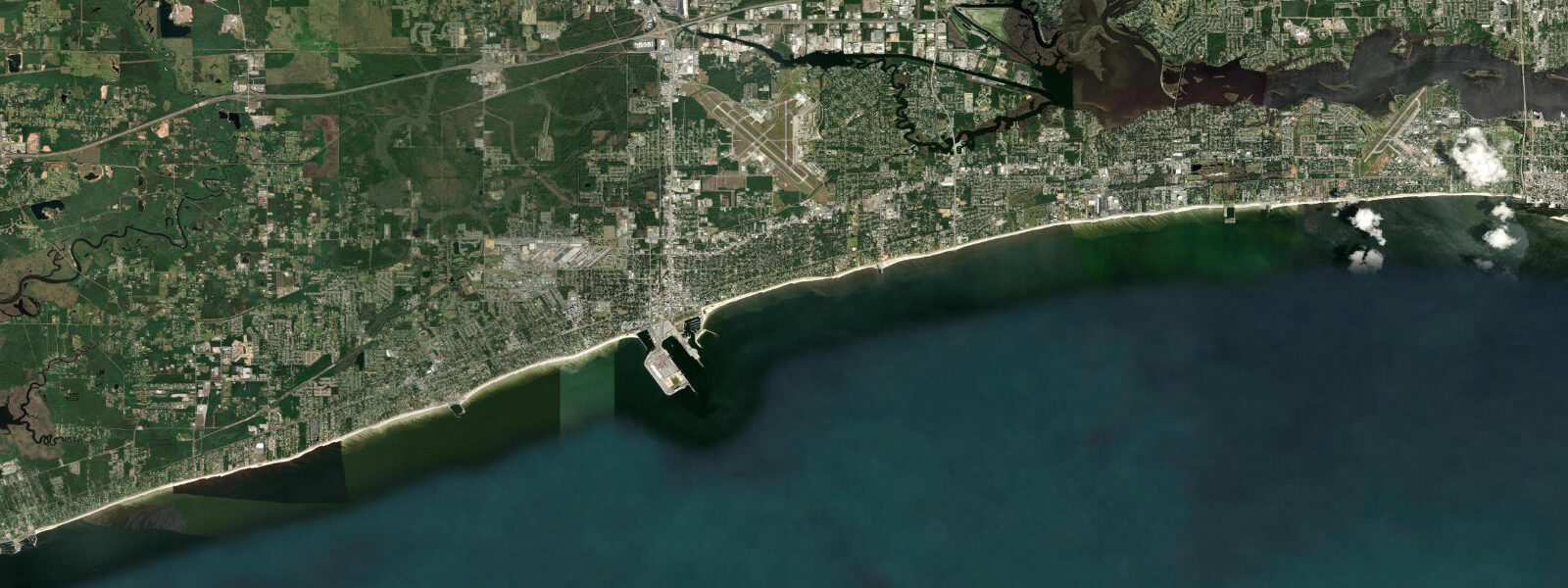
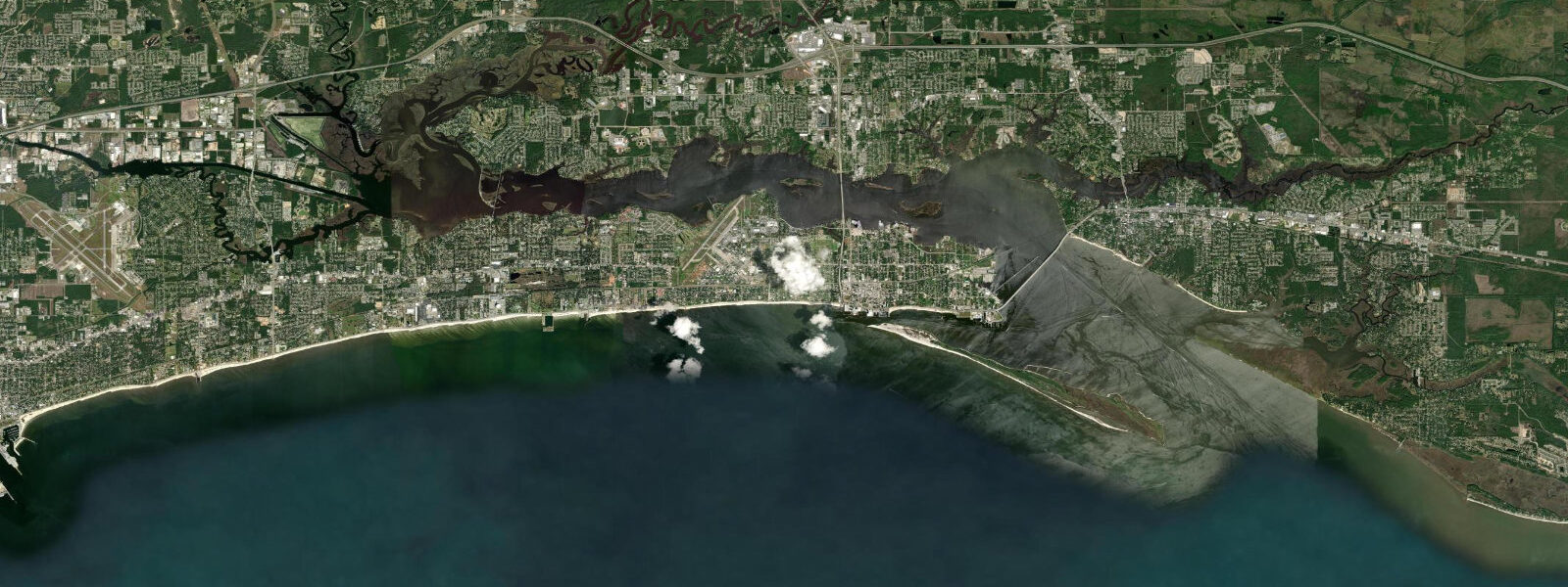
Gulfport is the commercial port anchor of the Mississippi Gulf Coast, ten kilometres west of Biloxi along US Highway 90 and facing the same Mississippi Sound that defines the coastal character of the region. The tidal regime is diurnal — one high and one low per day — with a mean range around 0.4 metres MLLW, fractionally smaller than Biloxi's already-small range due to subtle differences in the geometry of the barrier island passes feeding water into the Sound at this longitude. The tidal exchange is slow and gentle; currents in Gulfport Harbor rarely exceed 0.3 knots from the tide alone.
Gulfport's identity is built on logistics. The Port of Gulfport operates as a full container terminal handling trade from Central America and the Caribbean, and the port infrastructure — cranes, container yards, rail connections — dominates the waterfront east of downtown. Jones Park and the marina are carved out of the western edge of the port zone, giving recreational boaters a working harbour feel. The marina serves the charter fleet targeting offshore reef fish (red snapper, king mackerel, cobia) in the Gulf, as well as the vessels running the Ship Island ferry.
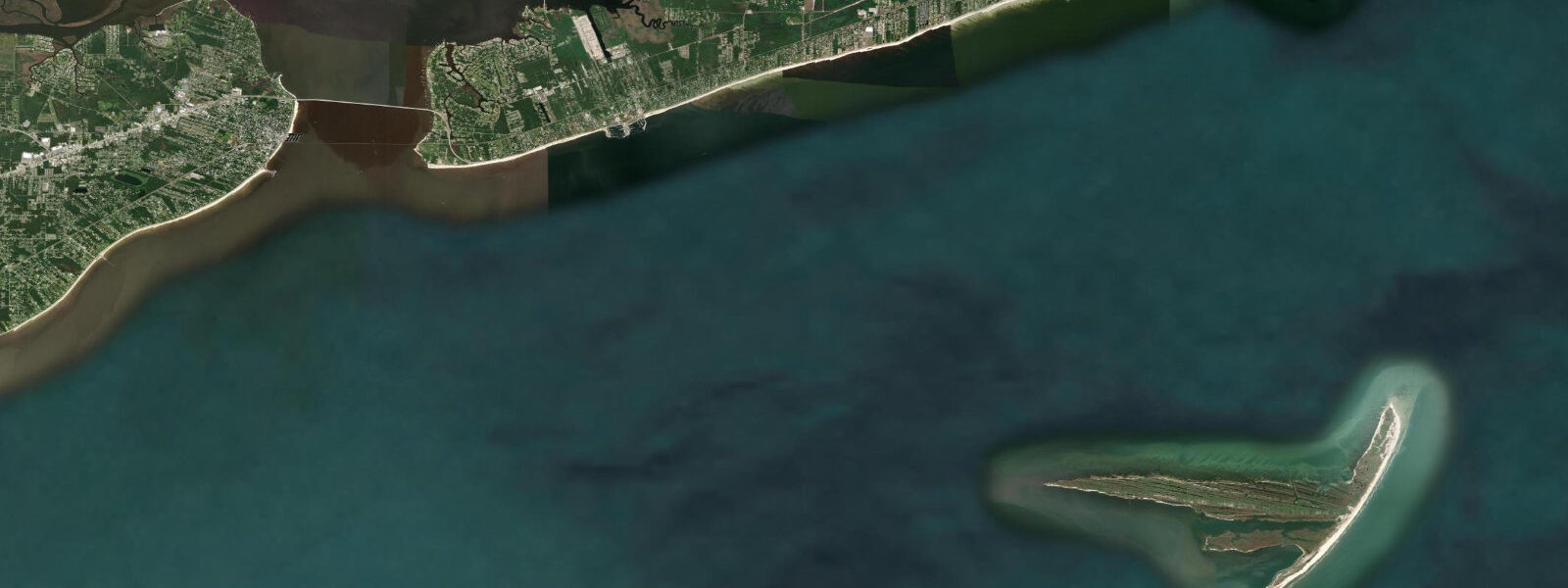
Ship Island, approximately 18 kilometres south of Gulfport in the Gulf of Mexico beyond the Sound's barrier chain, is the primary destination for the Ship Island Excursions ferry that departs from Jones Park Marina daily in season. The island holds Fort Massachusetts, a pre-Civil War masonry fort, and one of the Gulf Coast's finest sugar-white sand beaches. The ferry dock at Ship Island sits in shallow water, and at the island end, boarding and disembarkation are affected by the diurnal tide cycle — the small range means a 0.3 to 0.4 metre difference between high and low, enough to require a short gangway adjustment but not enough to strand the ferry. The Sound crossing takes approximately 50 minutes; passengers on the top deck get a clear view of the barrier island chain and the boundary where the protected Sound water meets the Gulf blue.
For shore anglers, the Gulfport waterfront offers the Highway 90 fishing pier approach and the jetties flanking the port entrance — structure that holds sheepshead, red drum, and speckled trout in the Sound. The small tidal range means the current at the jetties is gentle except during strong wind events, and fishing is more a function of water clarity and temperature than tidal timing. In summer the Sound can stratify thermally, pushing fish to deeper water or the cooler Gulf side of the barrier islands.
Gulfport's post-Katrina rebuild was extensive. The storm surge here reached 7 to 8 metres above MLLW, slightly less than Biloxi's maximum, and the waterfront structures seaward of the highway were largely destroyed. The rebuilt port infrastructure meets elevated storm standards; the residential reconstruction in the blocks behind the beach pushed inland and upward. NOAA's Gulfport tide gauge (station 8741533) resumed operation after post-Katrina rehabilitation and provides the authoritative continuous water level record for the harbour.
Predictions on this page come from Open-Meteo Marine, a global gridded ocean model. Accuracy is typically within plus or minus 45 minutes on timing and 0.2 to 0.3 metres on height — model-derived, not from the NOAA Gulfport gauge. At Gulfport's mean tidal range of roughly 0.4 metres, the model uncertainty is a substantial fraction of the total signal. For authoritative tidal data, use NOAA CO-OPS at tidesandcurrents.noaa.gov, Gulfport station 8741533.
Tide questions about Gulfport, MS
Quick answers to the most common questions about tide times, range, and water access at Gulfport, MS.
When does the Ship Island ferry leave from Gulfport?
Ship Island Excursions operates daily departures from Jones Park Marina in season (typically April through October, weather permitting). The ferry takes approximately 50 minutes to reach Ship Island. Departure times vary by season and day — check the operator's current schedule directly. The diurnal tidal range at Gulfport (around 0.4 m) is small enough that ferry operations are not constrained by the tide in the harbour, though weather-related water level changes from southerly winds can affect the boarding gangway angle at the island.
What fish can I catch from the Gulfport waterfront?
The jetties flanking the port entrance and the Highway 90 causeways hold sheepshead, speckled trout (spotted seatrout), and red drum year-round. Summer brings Spanish mackerel blitzes when baitfish schools push into the Sound from the Gulf passes. Offshore from the port, the charter fleet targets red snapper on the Gulf reefs (regulated season), king mackerel and cobia on the spring and fall migrations, and yellowfin tuna in the canyon water 100+ km south. The tiny tidal range means fishing timing is driven more by wind and temperature than by tidal current.
Is Gulfport a good base for visiting the barrier islands?
Yes. The Ship Island ferry from Jones Park Marina is the most accessible public route to the Gulf of Mexico barrier islands. Ship Island has Fort Massachusetts, excellent white-sand beaches, and clear Gulf water that is noticeably cleaner than the Sound side. Cat Island and Horn Island are accessible only by private boat and are wilder and less visited. West Ship Island and East Ship Island were separated by Hurricane Camille in 1969 — the pass between them is a boating route used by vessels transiting from the Sound to the Gulf.
What should I know about storm surge risk at Gulfport?
Gulfport sits in the highest storm surge risk zone on the US Gulf Coast. Hurricane Katrina produced a surge of 7 to 8 metres above MLLW here in 2005 — a level that overtops every structure in the waterfront zone. The National Hurricane Center publishes storm surge inundation forecasts for named storms; the Gulfport area falls in surge zone A (highest risk). Standard tide predictions are irrelevant during a major hurricane landfall — surge forecasts and evacuation orders from local emergency management are the only relevant information.
Is this tide data safe for navigation in Gulfport Harbor?
No. Open-Meteo Marine gridded predictions are not a substitute for official NOAA tide data or local nautical charts. The Mississippi Sound includes shoal areas and navigation channel markers that require chart-based routing. Use NOAA Chart 11372, NOAA CO-OPS predictions for Gulfport (station 8741533), and monitor National Weather Service marine forecasts for wind-driven level changes. During Gulf hurricane season (June through November), consult National Hurricane Center advisories — storm surge at this location can exceed 7 metres above the predicted astronomical tide.
7-day tide table — Gulfport, MS
Heights relative to MSL. Predictions: Open-Meteo Marine (MeteoFrance SMOC, 0.08° grid) — heights relative to MSL (not chart datum / LAT). Model-derived.
| Day | Type | Time | Height |
|---|---|---|---|
| Sun 21 Jun | High | 05:18 | 0.1m / 0.2ft |
| Low | 11:15 | -0.1m / -0.4ft | |
| Mon 22 Jun | — | ||
| Tue 23 Jun | — | ||
| Wed 24 Jun | High | 05:00 | 0.0m / 0.0ft |
| Low | 19:10 | -0.3m / -1.1ft | |
| Thu 25 Jun | High | 05:10 | 0.1m / 0.3ft |
| Low | 19:15 | -0.4m / -1.3ft | |
| Fri 26 Jun | High | 08:00 | 0.1m / 0.4ft |
| Low | 19:50 | -0.4m / -1.2ft | |
| Sat 27 Jun | High | 09:00 | 0.1m / 0.4ft |
| Low | 18:00 | -0.3m / -1.1ft | |