Biloxi, MS tide times
Biloxi, MS tide forecast — heights relative to MSL.
Today's tide times for Biloxi, MS
Tide times at Biloxi, MS on Sunday, 21 June 2026: first high tide at 05:15am, first low tide at 10:45am, second high tide at 06:00pm, second low tide at 10:00pm. Sunrise 05:54am, sunset 08:00pm.
Tide chart for Biloxi, MS
24-hour cosine-interpolated curve around the present moment. Heights relative to MSL. Predictions: Predictions: Open-Meteo Marine (MeteoFrance SMOC, 0.08° grid).
Sun, moon and conditions on Sun 21 Jun
Snapshot at build time — refreshes daily. Sea state from Open-Meteo Marine.
Highs and lows next 7 days
Every predicted high and low for the next week, with the daily tidal coefficient (0–120; higher = bigger swing, > 95 means stronger currents).
Other spots nearby
The three closest curated TideTurtle locations to Biloxi, MS, measured by great-circle distance.
Today's solunar windows
Solunar tradition: major periods are the ≈3h windows around moon transit and opposition; minor are ≈2h around moonrise and moonset. Pair with the local tide stage and wind for the best read.
About tides at Biloxi, MS
A short guide to the coastline at Biloxi, MS — geography, sea state, and what the tide is actually doing under your feet.
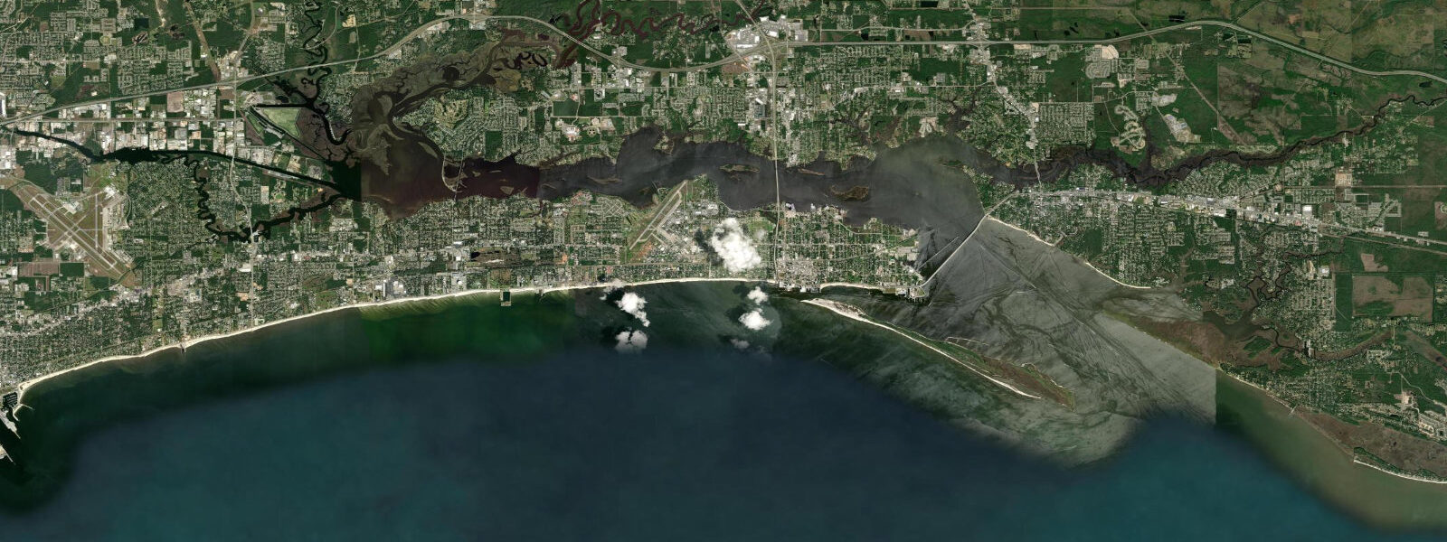
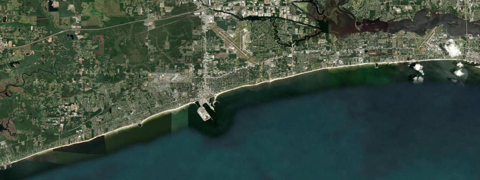
Biloxi sits on a narrow peninsula jutting south into the Mississippi Sound, with Back Bay of Biloxi forming the shallow, mostly wind-driven water to the north and a long strip of Gulf-facing public beach running along the south shore of the peninsula. The tidal regime here is diurnal — typically one high and one low per day — with a mean range of around 0.5 metres MLLW, among the lowest recorded at any continuously monitored US coastal location. The astronomical tide moves the Sound by less than a foot on most days; what controls this coastline in any meaningful sense is weather, particularly the wind-driven water setup from strong southerly or south-easterly winds, and above all the potential for catastrophic storm surge during Gulf hurricanes.
Hurricane Katrina made that hierarchy irreversible in August 2005. The predicted astronomical tide at Biloxi at landfall was approximately 0.3 metres — roughly the middle of the normal diurnal range. The actual water level rose to 8 to 9 metres above mean lower low water. The surge was driven by the counterclockwise circulation of the storm pushing Gulf water northeast across the Sound and the shallow offshore shelf, with the barrier island chain providing minimal obstruction at that scale. The rebuilt Biloxi waterfront, with its raised casino complexes and elevated residential construction, reflects the reckoning with that event. The tide gauge at Biloxi was destroyed; the data gap in NOAA's record for that station tells its own story.
On a normal day, the gentle tidal exchange through the Sound's barrier island passes creates fishing conditions rather than navigation challenges. The inshore flats and grass beds of the Sound hold speckled trout (spotted seatrout), red drum, and flounder — a triumvirate that defines Gulf Coast inshore fishing from Texas to Florida. Charter boats and kayak anglers work the tide changes on the Sound flats, targeting the windows when baitfish concentrations shift with the water movement. At Back Bay, the water is too shallow and too variable in salinity and temperature for consistent sport fishing, but the crabbing can be productive.
Biloxi's casino strip along US Highway 90 is the economic spine of the coast. After Katrina, the state legislature changed the gaming law that had required casinos to float on water — post-Katrina rebuilt casinos are land-based but engineered to elevated storm specifications. The Hard Rock, Beau Rivage, Scarlet Pearl, and IP Casino Resort complexes line the beachfront highway. For visitors, the proximity of the casino strip to the public beach creates an unusual coastal landscape — wide white sand with a mid-20th-century motel strip replaced by resort towers set back from the dunes.
The NOAA CO-OPS tide gauge at Biloxi (station 8741003) provides the authoritative tidal record for this location, though the diurnal signal is small enough that weather-related water level changes often exceed the astronomical tide by a factor of two or more. Anglers and boaters should monitor National Weather Service marine forecasts alongside the tide predictions — wind direction and speed matter more than the tide state itself on the Mississippi Sound.
Predictions on this page come from Open-Meteo Marine, a global gridded ocean model. Accuracy is typically within plus or minus 45 minutes on timing and 0.2 to 0.3 metres on height — model-derived, not from the NOAA Biloxi gauge. Given the tiny tidal range here (often 0.3 to 0.5 m total), the model uncertainty is a significant fraction of the signal. For authoritative tidal data, use NOAA CO-OPS at tidesandcurrents.noaa.gov, Biloxi station 8741003.
Tide questions about Biloxi, MS
Quick answers to the most common questions about tide times, range, and water access at Biloxi, MS.
What is the tidal range at Biloxi, MS?
Biloxi has one of the smallest tidal ranges of any US coastal location — mean range around 0.5 metres MLLW, with a diurnal pattern (one high, one low per day). The astronomical tide is so small that wind-driven water level changes from south or southeast winds regularly exceed it. A strong southerly wind can raise the Sound level by 0.3 to 0.6 metres above the predicted tide; a strong northerly can lower it by similar amounts. For practical boating and fishing, the NOAA wind and wave forecast for the Sound is as important as the tide prediction.
Is the fishing good at Biloxi?
The Mississippi Sound inshore flats are productive for speckled trout (spotted seatrout), red drum, and flounder year-round, with the best action in spring and autumn. Charter boats and kayak anglers work the grass bed flats on tide changes — the low range means current is gentle, so fish movement is driven more by temperature and bait position than by strong tidal flow. The shallow Sound also supports excellent crabbing. The barrier islands offshore — Ship Island is the largest accessible one — hold open-Gulf surf fishing opportunities for larger red drum and Spanish mackerel.
Can I swim at Biloxi Beach?
The public beach along US 90 is swimmable in summer, with calm Sound water, minimal swell, and water temperatures reaching 29 to 30°C in July and August. The shallow gradient means low-water conditions expose more sand flat, but the Sound rarely drops low enough to strand swimmers on the flat. Jellyfish — particularly moon jellies and occasional cannonball jellies — are seasonal hazards in summer. Rip currents are not a significant hazard on this sheltered coast except near the harbour jetties.
How did Hurricane Katrina affect Biloxi?
Katrina's August 2005 landfall produced a storm surge of 8 to 9 metres above mean lower low water at Biloxi — roughly 16 to 18 times the normal tidal range. The surge destroyed the waterfront casino barges, much of the residential neighbourhood immediately behind the beach, and infrastructure across the peninsula. Recovery took years; the casino industry rebuilt in land-based elevated structures after the state amended gaming law. The rebuilt highway corridor and raised construction standards reflect a permanent adjustment to the surge baseline.
Is this tide data safe to use for navigation in Mississippi Sound?
No. Open-Meteo Marine gridded predictions are not a substitute for official NOAA tide data or local nautical charts. The Mississippi Sound has shoal areas, unmarked obstructions, and a tidal range so small that wind setup and storm surge can dominate water levels. For navigation, use NOAA Chart 11372, the NOAA CO-OPS prediction for Biloxi (station 8741003), and monitor the NWS marine forecast for wind-driven level changes. Biloxi is also located in the Gulf hurricane belt — consult National Hurricane Center advisories during tropical storm season (June through November).
7-day tide table — Biloxi, MS
Heights relative to MSL. Predictions: Open-Meteo Marine (MeteoFrance SMOC, 0.08° grid) — heights relative to MSL (not chart datum / LAT). Model-derived.
| Day | Type | Time | Height |
|---|---|---|---|
| Sun 21 Jun | High | 05:15 | 0.0m / 0.1ft |
| Low | 10:45 | -0.1m / -0.4ft | |
| High | 18:00 | 0.0m / 0.0ft | |
| Low | 22:00 | -0.0m / -0.1ft | |
| Mon 22 Jun | High | 03:00 | 0.1m / 0.3ft |
| Tue 23 Jun | — | ||
| Wed 24 Jun | — | ||
| Thu 25 Jun | — | ||
| Fri 26 Jun | — | ||
| Sat 27 Jun | Low | 18:00 | -0.4m / -1.3ft |