Annapolis, MD tide times
Annapolis, MD tide forecast — heights relative to MSL.
Today's tide times for Annapolis, MD
Tide times at Annapolis, MD on Sunday, 21 June 2026: first high tide at 05:10am, first low tide at 12:10pm, second low tide at 02:38pm. Sunrise 05:40am, sunset 08:34pm.
Tide chart for Annapolis, MD
24-hour cosine-interpolated curve around the present moment. Heights relative to MSL. Predictions: Predictions: Open-Meteo Marine (MeteoFrance SMOC, 0.08° grid).
Sun, moon and conditions on Sun 21 Jun
Snapshot at build time — refreshes daily. Sea state from Open-Meteo Marine.
Highs and lows next 7 days
Every predicted high and low for the next week, with the daily tidal coefficient (0–120; higher = bigger swing, > 95 means stronger currents).
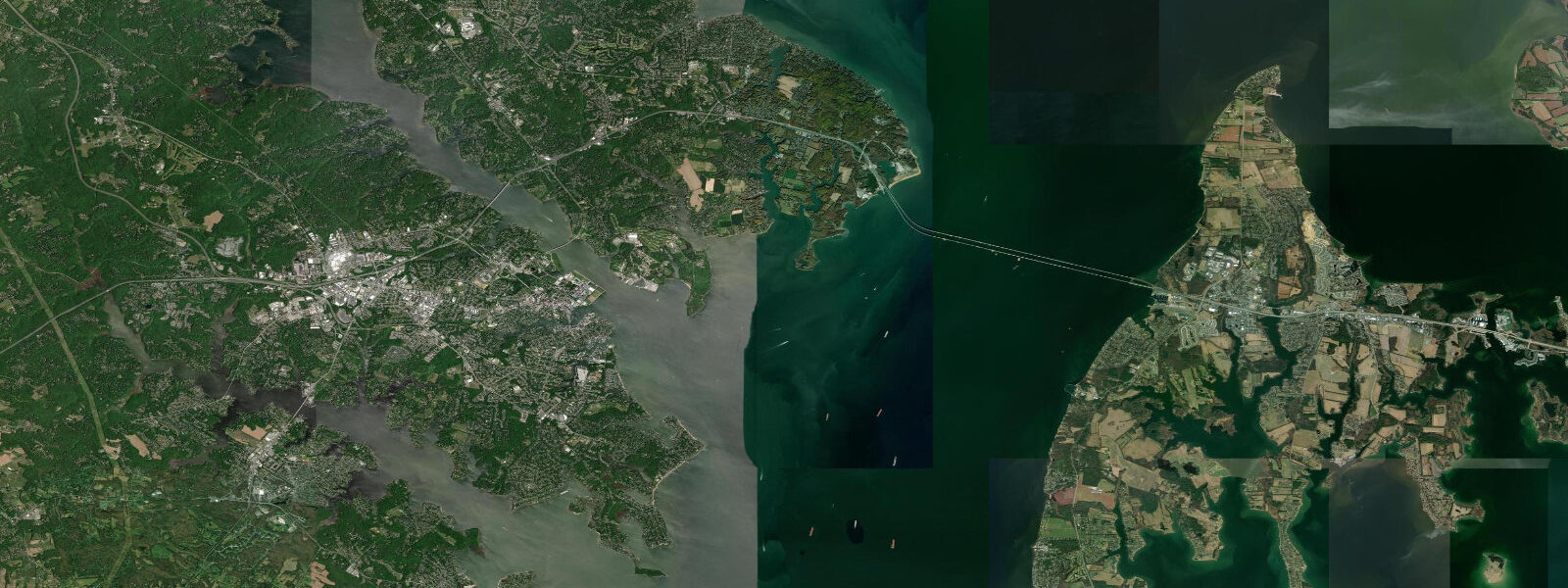
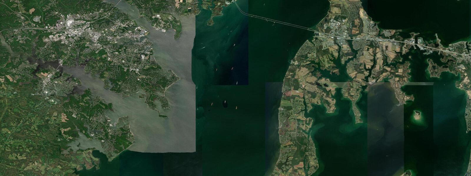
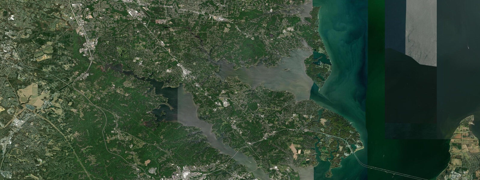
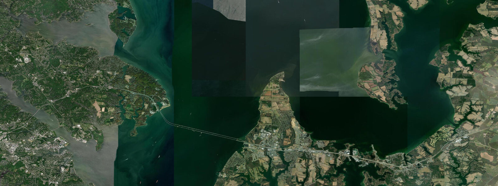
Other spots nearby
The three closest curated TideTurtle locations to Annapolis, MD, measured by great-circle distance.
Today's solunar windows
Solunar tradition: major periods are the ≈3h windows around moon transit and opposition; minor are ≈2h around moonrise and moonset. Pair with the local tide stage and wind for the best read.
Cycle dates near Annapolis, MD
Next spring tide on Mon 22 Jun (range 0.4m / 1.4ft). Next neap on Tue 23 Jun.
Spring tides cluster around new and full moons (biggest swings). Neap tides land on quarter moons (smallest swings). See the spring tide and neap tide glossary entries for the why.
About tides at Annapolis, MD
A short guide to the coastline at Annapolis, MD — geography, sea state, and what the tide is actually doing under your feet.
Annapolis sits at the confluence of the Severn River and the upper Chesapeake Bay, 45 km south of Baltimore. It is one of the oldest continuously occupied English settlements in North America and claims the largest recreational sailing fleet on the East Coast. The bay here is profoundly microtidal: mean range is approximately 0.4 m MLLW. That figure is not a typo — the entire tidal swing from mean low water to mean high water is less than half a metre, roughly the depth of a dinner plate.
What governs water levels in Annapolis is wind and barometric pressure, not the moon. A sustained northeast wind at 20 knots for 24 hours can pile 0.5–0.6 m of water against the western shore, flooding the historic City Dock — known locally as Ego Alley — and the adjacent streets of the historic district. A deep low-pressure system passing to the northeast can blow water out of the upper bay, stranding boats in their slips. Understanding the relationship between wind direction, storm track, and bay water levels is as important here as reading tide tables.
The astronomical tide is nonetheless real and visible. City Dock floods and drains on a roughly 0.3–0.4 m cycle, and the water line against the historic brick seawall traces the semidiurnal rhythm in slow motion. Anglers fishing the Severn River mouth and the Eastern Shore oyster bars near Annapolis report that the tide turn — particularly the first of the ebb — concentrates striped bass in the shallow coves and points where baitfish are momentarily trapped. The transition is subtle compared to ocean tides, but the fish respond to it.
The US Naval Academy occupies the point at the Severn River mouth, fronting directly onto the Chesapeake. Academy Bridge and the Severn River provide the approach for sailing regattas and Chesapeake race series that make Annapolis one of the busiest recreational boating harbours on the East Coast. The Annapolis Yacht Club and six other clubs operate from the harbour; the autumn sailboat show (October) and spring powerboat show draw thousands of visitors for whom tidal knowledge is practical, not academic.
Blue crab is Chesapeake identity. The Annapolis waterfront's crab houses operate through summer on the June–October season, and the crabs themselves are most active in the shallows on warm water ebb tides when they move from grass beds into open bottom. Recreational crabbing from the City Dock and the Route 50 bridge causeway is productive from July through September; low-to-mid water exposes the most structure.
For kayakers and paddlers, the Severn River upstream of Annapolis is one of the most accessible flatwater paddles in the DC–Baltimore corridor — protected from bay chop, forested in places, and non-tidal enough that the current is wind-driven rather than tidal. The harbour itself requires vigilance for commercial ferry and boat traffic.
Tide predictions for Annapolis come from Open-Meteo Marine and reflect the bay's real tidal cycle, but with the caveat that wind setup and surge — often larger than the tide itself — are not captured in standard tide predictions. Uncertainty is ±45 minutes on timing and ±0.2–0.3 m on height. NOAA CO-OPS station 8575512 (Annapolis) provides the authoritative verified record and includes real-time water level data that captures wind-driven surges as they occur.
Tide questions about Annapolis, MD
Quick answers to the most common questions about tide times, range, and water access at Annapolis, MD.
Why is the tidal range at Annapolis so small?
Annapolis sits inside the Chesapeake Bay, the largest estuary in North America by drainage area. The bay's funnel geometry and its shallow depth cause it to resonate at a period that dampens tidal amplitude — the Atlantic tidal signal loses most of its energy by the time it travels 300 km up the bay from the ocean mouth. Mean range at Annapolis is approximately 0.4 m MLLW. In comparison, the open Atlantic coast just 60 km east at Ocean City MD has a mean range of 1.0 m. Wind and barometric pressure fill in the difference — and then some.
Does City Dock in Annapolis flood regularly?
Yes. City Dock (Ego Alley) floods multiple times a year on astronomical high tides combined with northeast winds. The threshold for street-level flooding is roughly 0.6 m above mean higher high water — achievable during a modest nor'easter on top of a spring tide. The National Weather Service Baltimore/Washington office issues coastal flood advisories for the Annapolis harbour; NOAA CO-OPS station 8575512 shows real-time water levels and issued flood alerts. The historic brick seawall dates to the 18th century and absorbs minor overwash; sustained flooding above 0.8 m threatens the adjacent buildings.
When is the best time to crab from the Annapolis waterfront?
Blue crab season at Annapolis runs June through October. Recreational crabbing from the City Dock bulkhead and the Route 50 bridge causeway is most productive on warm-water ebb tides in July–September, when crabs move from shallow grass beds to open bottom. Early morning sessions — first light through 9 a.m. — before pleasure-boat traffic disturbs the shallows tend to be most productive. Maryland requires a free recreational crabbing license for trotline and pot; hand lines do not require a license.
Is Annapolis Harbour safe for racing sailboats at any tide?
Annapolis Harbour and the Severn River mouth are navigable for standard keelboats at all states of tide — the microtidal range means depth variation is minimal. The channel is well-marked and maintained. The main hazards are wind-driven water level extremes (storm surge can lower water level by 0.4 m below predicted on a sustained northwest wind) and powerboat traffic in the narrow entrance channel. Racecourse setups outside the harbour in the main bay body encounter the full Chesapeake chop, which builds quickly in southwest afternoon winds above 15 knots.
Can I use this data for navigation on the Chesapeake Bay out of Annapolis?
No. TideTurtle's predictions use Open-Meteo Marine model output, with uncertainty of ±45 minutes on timing and ±0.2–0.3 m on height, and do not capture wind-driven surge or seiche events that can move Chesapeake water levels more than the tidal range itself. Navigation on the Chesapeake requires NOAA charts, official NOAA CO-OPS predictions for Annapolis (station 8575512), real-time water level monitoring during active weather, and current USCG Notices to Mariners for shoaling and hazard updates.
7-day tide table — Annapolis, MD
Heights relative to MSL. Predictions: Open-Meteo Marine (MeteoFrance SMOC, 0.08° grid) — heights relative to MSL (not chart datum / LAT). Model-derived.
| Day | Type | Time | Height |
|---|---|---|---|
| Sun 21 Jun | High | 05:10 | -0.2m / -0.8ft |
| Low | 12:10 | -0.6m / -2.0ft | |
| Low | 14:38 | -0.6m / -2.0ft | |
| Mon 22 Jun | High | 06:20 | -0.2m / -0.6ft |
| Low | 12:00 | -0.3m / -1.0ft | |
| High | 19:50 | -0.1m / -0.2ft | |
| Tue 23 Jun | Low | 05:06 | -0.4m / -1.3ft |
| High | 06:00 | -0.4m / -1.2ft | |
| Low | 13:18 | -0.8m / -2.6ft | |
| Wed 24 Jun | High | 04:10 | -0.5m / -1.6ft |
| Low | 04:45 | -0.5m / -1.6ft | |
| High | 23:45 | -0.2m / -0.6ft | |
| Thu 25 Jun | Low | 14:50 | -0.3m / -1.1ft |
| Fri 26 Jun | Low | 06:50 | -0.4m / -1.3ft |
| High | 09:45 | -0.3m / -0.9ft | |
| Low | 15:20 | -0.4m / -1.5ft | |
| High | 17:50 | -0.4m / -1.2ft | |
| Low | 19:00 | -0.4m / -1.3ft | |
| High | 22:18 | -0.3m / -0.8ft | |
| Sat 27 Jun | Low | 04:00 | -0.4m / -1.2ft |
| Low | 07:50 | -0.4m / -1.3ft | |
| High | 10:18 | -0.3m / -1.0ft | |
| Low | 16:18 | -0.5m / -1.6ft |