Kennebunkport, ME tide times
Kennebunkport, ME tide forecast — heights relative to MSL.
Today's tide times for Kennebunkport, ME
Tide times at Kennebunkport, ME on Friday, 19 June 2026: first high tide at 02:22am, first low tide at 08:45am, second high tide at 03:08pm, second low tide at 09:08pm. Sunrise 05:01am, sunset 08:25pm.
Tide chart for Kennebunkport, ME
24-hour cosine-interpolated curve around the present moment. Heights relative to MSL. Predictions: Predictions: Open-Meteo Marine (MeteoFrance SMOC, 0.08° grid).
Sun, moon and conditions on Fri 19 Jun
Snapshot at build time — refreshes daily. Sea state from Open-Meteo Marine.
Highs and lows next 7 days
Every predicted high and low for the next week, with the daily tidal coefficient (0–120; higher = bigger swing, > 95 means stronger currents).
Other spots nearby
The three closest curated TideTurtle locations to Kennebunkport, ME, measured by great-circle distance.
Today's solunar windows
Solunar tradition: major periods are the ≈3h windows around moon transit and opposition; minor are ≈2h around moonrise and moonset. Pair with the local tide stage and wind for the best read.
Cycle dates near Kennebunkport, ME
Last spring tide on Thu 18 Jun (range 3.4m / 11.3ft). Next neap on Wed 24 Jun.
Spring tides cluster around new and full moons (biggest swings). Neap tides land on quarter moons (smallest swings). See the spring tide and neap tide glossary entries for the why.
About tides at Kennebunkport, ME
A short guide to the coastline at Kennebunkport, ME — geography, sea state, and what the tide is actually doing under your feet.
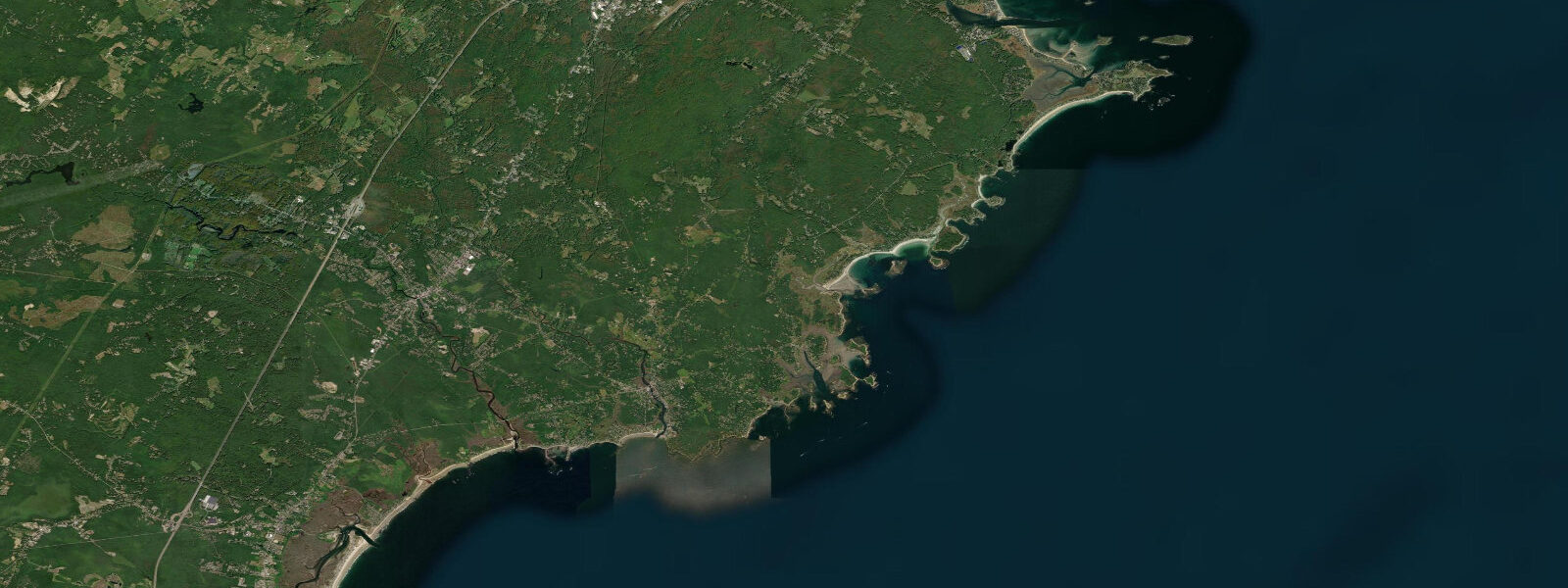
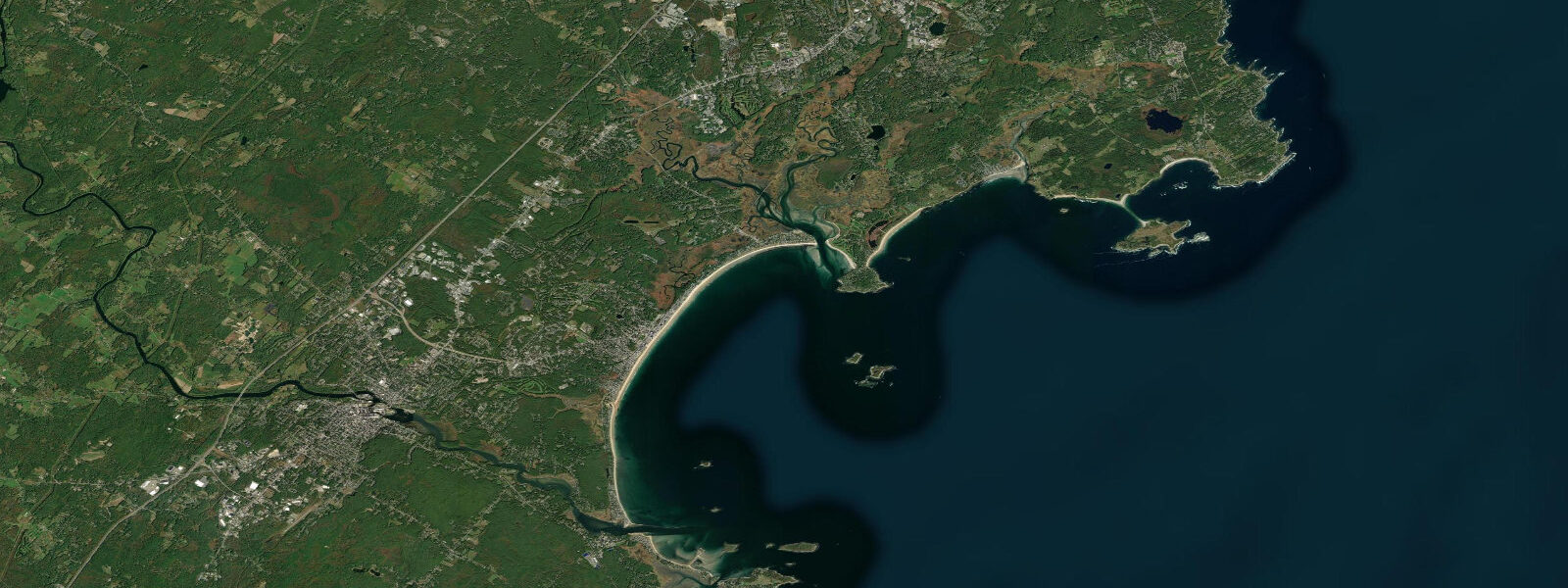
Kennebunkport sits at the mouth of the Kennebunk River, where a tidal estuary runs 8 kilometres inland through salt marsh and old-growth oak woodland before the river transitions from tidal to fresh. Mean spring range at the river entrance runs around 2.9 metres — enough to transform the harbour dramatically between states. At high water, the Dock Square waterfront and the marina behind it float vessels at the level of the street; at low water, the mussel-covered rocks and tidal flat below the town landing are exposed, and the inner estuary reveals the geometry of the tidal channels through the marsh.
Dock Square at the head of the tidal reach is the commercial centre of Kennebunkport — galleries, restaurants, and shops clustered around a small square that is as likely to flood as not during a high astronomical tide coinciding with a northeast storm. The combination of 2.9-metre spring tides and storm surge from a deep coastal low can push water over the square apron and briefly into the lower stores; the owners of lower Commercial Street businesses track the tide chart closely during storm season.
Goat Island Lighthouse, visible from Cape Porpoise Pier 5 kilometres north, marks the northern approach to the Kennebunk River entrance from the open ocean. The lighthouse was built in 1835 and is now operated by the Kennebunkport Conservation Trust. The rocky ledge below the lighthouse is accessible by kayak at all but the very lowest spring tides and supports a small harbor seal population that hauls out on the outer rocks.
Cape Porpoise Harbour, just north of Kennebunkport proper, is the working lobster harbour of the community — the commercial fleet here is substantial, and the harbour bar at the entrance is depth-limited at low water. Lobster boats time departures to the harbour bar condition: there is adequate depth (roughly 0.6 metres over the bar at mean low water) for most working vessels, but the crossing requires local knowledge on the lowest spring tides. The lobster traps stacked on the Cape Porpoise wharves are moved and deployed on a seasonal basis keyed to both regulation and ocean temperatures.
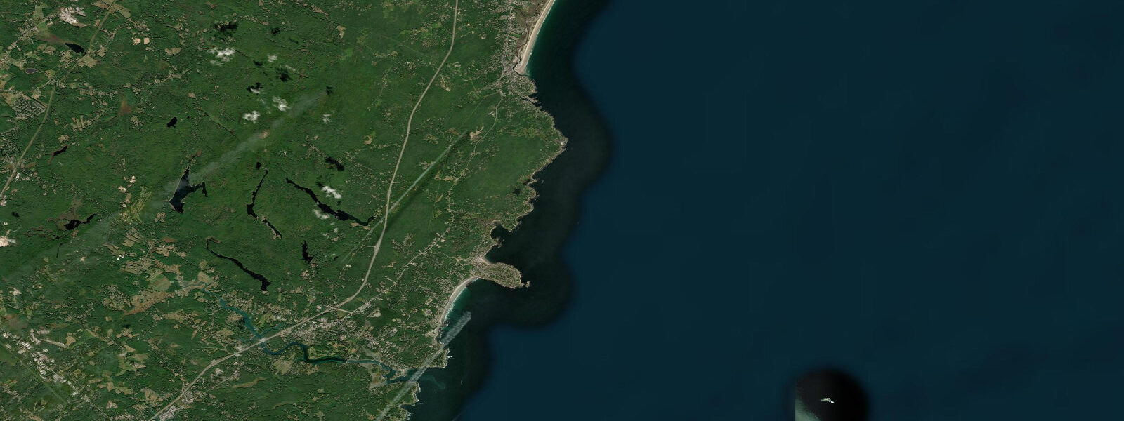
Perkins Cove in neighbouring Ogunquit, 12 kilometres south, is a smaller but famous tidal cove accessible through a pedestrian drawbridge — the Marginal Way cliff path connects the cove to the beach. Whale-watch vessels depart from Perkins Cove in season (May through October) for Jeffreys Ledge offshore, one of the most productive humpback and finback whale feeding grounds in the western North Atlantic.
Surf at Kennebunk Beach and Gooch's Beach — both on the open ocean side south of the river mouth — is consistent in northeast and east swell, with the tidal state determining break position and wave quality in the typical pattern: lower water exposes more bar, higher water softens the break and allows entry further up the beach. Summer and autumn are the active surf seasons; winter produces the largest swells but temperatures require a 5mm wetsuit minimum.
Predictions on this page come from Open-Meteo Marine, a gridded global ocean model. Accuracy is typically within plus or minus 45 minutes on timing and 0.2 to 0.3 metres on height — model-derived, not from a local gauge. For authoritative US tide data, consult NOAA CO-OPS at tidesandcurrents.noaa.gov.
Tide questions about Kennebunkport, ME
Quick answers to the most common questions about tide times, range, and water access at Kennebunkport, ME.
When is high tide at Kennebunkport?
The tide table on this page shows predicted times in Eastern Time (EST UTC-5, EDT UTC-4). Kennebunkport runs semidiurnal with mean spring range around 2.9 metres. The nearest NOAA CO-OPS reference station is Portland (station 8418150) 55 km northeast — Kennebunkport times typically run 10 to 20 minutes before Portland. For precise predictions calibrated to Kennebunkport, use the NOAA subordinate station offsets from the Portland reference.
Is it worth timing a visit around the tide at Kennebunkport?
Yes. Dock Square and the river waterfront change character significantly with the 2.9-metre spring tidal range — the full pilings and tidal channel geometry is only visible at low water, while the cove-like feel of the harbour at high water makes the town look quite different. Low water spring tides (2-3 days after full or new moon) are the best time for tidal flat walks behind the marsh, seal-watching at the Goat Island ledges by kayak, and bar-hopping at Cape Porpoise Harbour.
Where can I kayak near Kennebunkport?
The Kennebunk River is navigable by kayak from Dock Square upriver through the salt marsh for several kilometres — best paddle on the incoming flood, returning on the last of the flood or early ebb before the channels become too shallow. Cape Porpoise Harbour and the outer islands (Stage Island, Wood Island) are accessible on calm days with attention to the bar at the harbour entrance. Kayak rentals are available seasonally from outfitters on the river. The open-ocean crossing to Goat Island is a 2 km round trip and manageable in calm conditions.
What wildlife can I see on the tidal flats near Kennebunkport?
The salt marsh behind Kennebunkport harbour supports a diverse bird community — great blue heron, snowy and great egret, and willets feed on the tidal flats during the ebb. Shorebird migration in July through September brings sandpipers, dowitchers, and dunlin to the exposed mud. Harbour seals haul out on the rocks at Goat Island and Stage Island year-round (best viewing in calm conditions from a distance by kayak or binoculars from Cape Porpoise Pier). Occasionally grey seals in winter. Porpoises in the offshore approaches in summer.
How is the surf at Kennebunk Beach?
Kennebunk Beach (Mother's Beach, Middle Beach, Gooch's Beach) receives northeast and east Atlantic swell. Typical wave heights are 0.5 to 1.5 metres, increasing to 2 to 3 metres during named storms. The sandbar system shifts seasonally — the break position at Gooch's Beach changes with the state of the outer bar and the tidal state. Lower tidal states (1 metre above low or below) tend to produce more defined breaks over the outer bars; high water buries the bars and the waves close out. Local surf reports give daily conditions.
7-day tide table — Kennebunkport, ME
Heights relative to MSL. Predictions: Open-Meteo Marine (MeteoFrance SMOC, 0.08° grid) — heights relative to MSL (not chart datum / LAT). Model-derived.
| Day | Type | Time | Height |
|---|---|---|---|
| Fri 19 Jun | High | 02:22 | 1.3m / 4.4ft |
| Low | 08:45 | -2.1m / -6.9ft | |
| High | 15:08 | 1.0m / 3.3ft | |
| Low | 21:08 | -1.8m / -5.9ft | |
| Sat 20 Jun | High | 03:26 | 1.1m / 3.7ft |
| Low | 09:43 | -2.0m / -6.5ft | |
| High | 16:04 | 1.0m / 3.2ft | |
| Low | 22:10 | -1.7m / -5.7ft | |
| Sun 21 Jun | High | 04:25 | 0.9m / 3.0ft |
| Low | 10:39 | -1.9m / -6.1ft | |
| High | 17:00 | 0.9m / 3.0ft | |
| Low | 23:13 | -1.7m / -5.6ft | |
| Mon 22 Jun | High | 05:27 | 0.7m / 2.4ft |
| Low | 11:37 | -1.8m / -5.8ft | |
| High | 18:00 | 0.9m / 3.0ft | |
| Tue 23 Jun | Low | 00:14 | -1.5m / -5.0ft |
| High | 06:27 | 0.7m / 2.4ft | |
| Low | 12:35 | -1.6m / -5.2ft | |
| High | 18:55 | 0.9m / 3.0ft | |
| Wed 24 Jun | Low | 01:19 | -1.7m / -5.6ft |
| High | 07:33 | 0.5m / 1.8ft | |
| Low | 13:31 | -1.6m / -5.2ft | |
| High | 19:50 | 0.8m / 2.8ft | |
| Thu 25 Jun | Low | 02:12 | -1.7m / -5.7ft |
| High | 08:27 | 0.5m / 1.5ft | |
| Low | 14:22 | -1.5m / -4.8ft | |
| High | 19:00 | 0.5m / 1.6ft |