Grand Chenier tide times
Grand Chenier tide forecast — heights relative to MSL.
Today's tide times for Grand Chenier
Tide times at Grand Chenier on Saturday, 27 June 2026: first high tide at 02:55am, first low tide at 09:45am, second high tide at 12:00pm, second low tide at 06:50pm. Sunrise 06:13am, sunset 08:16pm.
Tide chart for Grand Chenier
24-hour cosine-interpolated curve around the present moment. Heights relative to MSL. Predictions: Predictions: Open-Meteo Marine (MeteoFrance SMOC, 0.08° grid).
Sun, moon and conditions on Sat 27 Jun
Snapshot at build time — refreshes daily. Sea state from Open-Meteo Marine.
Highs and lows next 7 days
Every predicted high and low for the next week, with the daily tidal coefficient (0–120; higher = bigger swing, > 95 means stronger currents).
Other spots nearby
The three closest curated TideTurtle locations to Grand Chenier, measured by great-circle distance.
Today's solunar windows
Solunar tradition: major periods are the ≈3h windows around moon transit and opposition; minor are ≈2h around moonrise and moonset. Pair with the local tide stage and wind for the best read.
Cycle dates near Grand Chenier
Last spring tide on Fri 26 Jun (range 1.0m / 3.3ft). Next neap on Thu 02 Jul.
Spring tides cluster around new and full moons (biggest swings). Neap tides land on quarter moons (smallest swings). See the spring tide and neap tide glossary entries for the why.
About tides at Grand Chenier
A short guide to the coastline at Grand Chenier — geography, sea state, and what the tide is actually doing under your feet.
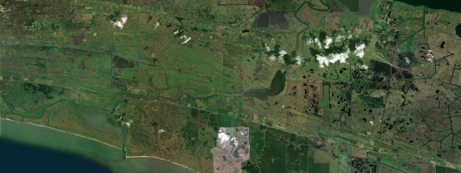
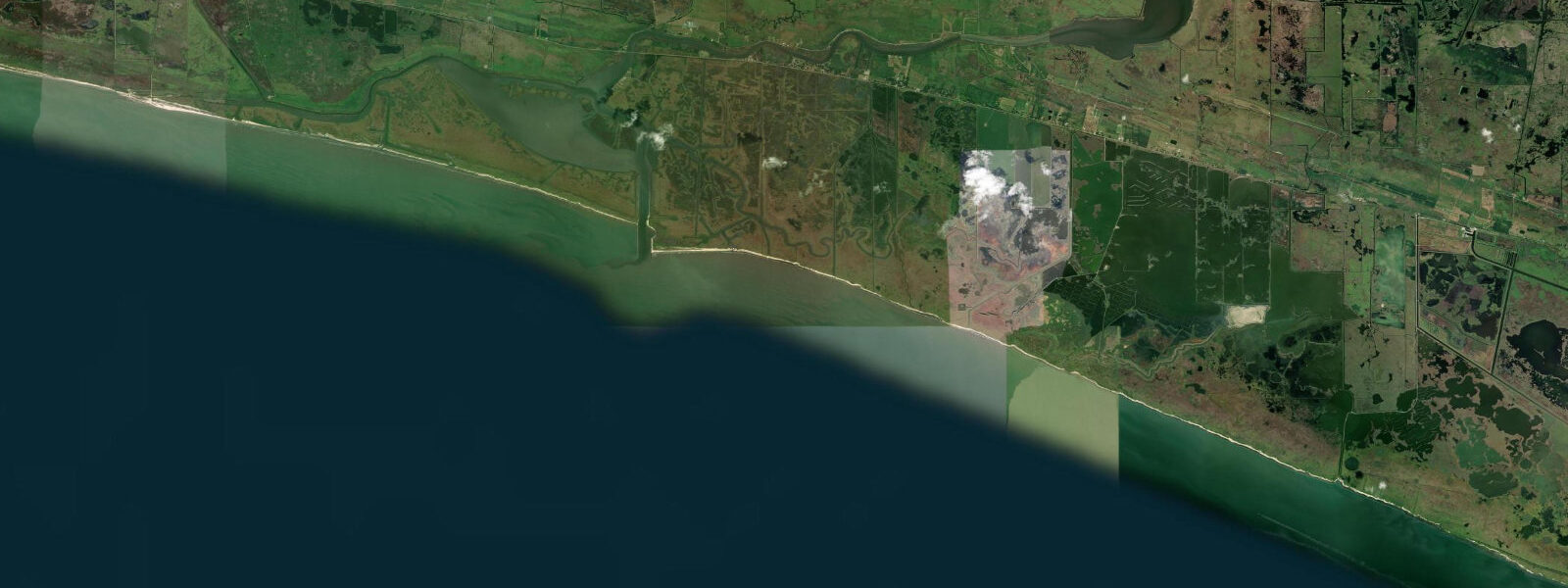
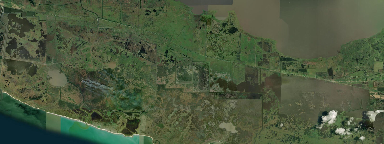
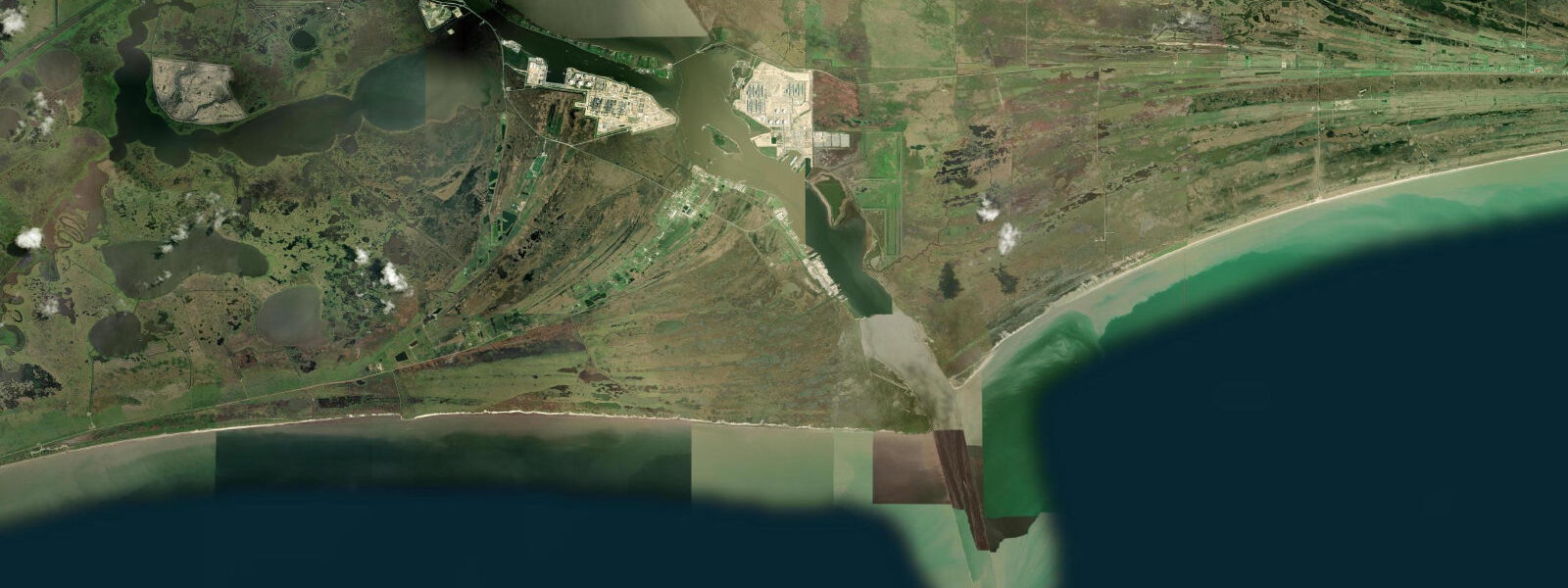
Grand Chenier sits on a chenier — a French-derived term for an oak-covered sand ridge rising from the marsh — in Cameron Parish, the Louisiana coastal plain's most remote and least populated area. The Chenier Plain extends from the Atchafalaya River delta west to the Texas border, a mosaic of cheniers, brackish marsh, tidal lagoon, and open Gulf of Mexico beach that functions as one of the most productive coastal fishery and migratory bird ecosystems in North America. Grand Chenier itself is a community of a few hundred residents on a ridge no more than 2–3 m above mean sea level, surrounded on three sides by intertidal and subtidal marsh and fronted to the south by a barrier beach on the Gulf coast.
The tidal regime at Grand Chenier is Gulf of Mexico mixed diurnal-semidiurnal, predominantly diurnal: spring range approximately 0.3–0.5 m above Chart Datum. On many days the tide produces one dominant high and one dominant low per 24-hour period rather than the two-cycle Atlantic pattern — a characteristic of the Gulf's enclosed basin geometry. The tidal signal is reinforced or suppressed by atmospheric forcing: a sustained southerly wind from the Gulf pushes water onto the Chenier Plain coast, raising levels by 0.2–0.5 m above prediction; a northerly wind following a cold front passage drains the intertidal marsh and can lower water levels 0.3–0.6 m below prediction, temporarily exposing bottom that is normally submerged. These wind-driven seiche effects routinely exceed the astronomical tidal range and must be accounted for in any coastal activity planning.
Redfish (red drum) and speckled trout (spotted seatrout) are the fish that define the inshore fishery of the Chenier Plain, and Grand Chenier is in the heart of the best remaining habitat. Redfish feed on the intertidal marsh edge, pushing onto the flooded grass on the highest flood tides and retreating to the channels and ponds on the ebb. The flooding tide window — particularly the upper half of the flood when water is actively covering the marsh grass — is when redfish are most aggressive and most accessible to shallow-water anglers. Spring tides produce the largest marsh flooding, pushing fish furthest onto the grass; the highest flood tides of the year (spring tides coinciding with a southerly wind set-up) create marsh flooding 0.5–0.8 m above normal high water, an exceptional feeding event that experienced guides prioritize.
Speckled trout occupy the transition zone between open bay and marsh edge. They hold in the channels and cuts that drain the marsh on the ebb, ambushing baitfish that are swept out of the grass by the falling water. The last hour of the ebb — when current in the drainage channels peaks and bait concentrates at the channel mouths — is the most productive window for trout. Anglers position their boats at the channel mouths in the hour before low water and cast into the current as the trout set up on the downstream side of the structure.
For paddlers, the labyrinth of tidal channels, ponds, and marsh cuts between Grand Chenier and the barrier beach is kayak territory. The channels are navigable at mid-to-high tide; at low spring water many of the shallow interior ponds and cuts dry to 0.0–0.1 m, impassable by kayak. The predominant character of the navigation is flatwater with exceptional wildlife density: roseate spoonbills, great blue herons, wood storks, and alligators in every marsh pond. Orientation is difficult in flat, featureless marsh; a GPS with waypoints is mandatory for anyone exploring beyond a kilometre of the put-in. The barrier beach access south of Grand Chenier is by boat across the Mermentau River drainage — there is no public road to the Gulf shore at this location.
Family and casual visitors reach Grand Chenier via the Cameron Parish LA-82 coastal highway — the Creole Nature Trail All-American Road — which runs along the chenier ridge through a landscape of live oak, gulf rosemary, and marsh. The road provides multiple pull-offs with views across the intertidal flat toward the Gulf. At low spring water the tidal flat south of the highway is exposed for 200–500 m — a wide zone of dark organic sediment and shallow water frequented by shorebirds and wading birds. Photographers working the flat at low water find spoonbill flocks, white ibis, and willet working the exposed mud; the morning light is from the east and the flat faces south, producing side-lit conditions from 07:00 to 10:00.
Hurricane risk at Grand Chenier is not theoretical — the community was largely destroyed by Hurricane Rita in 2005 (Category 3 landfall at Sabine Pass, 100 km west) and rebuilt. The entire Cameron Parish coast is in Category 1 surge inundation zones; a major Gulf hurricane with direct impact produces storm surges of 3–6 m above normal sea level at Grand Chenier, exceeding the elevation of the chenier ridge entirely. The astronomical tidal range is irrelevant under these conditions. Hurricane evacuation orders for Cameron Parish should be followed without delay given the absence of high ground and limited road egress via the LA-82 coastal highway.
All tide predictions for Grand Chenier come from the Open-Meteo Marine gridded model. Timing accuracy is ±45 minutes; height accuracy is ±0.3 m above Chart Datum.
Tide questions about Grand Chenier
Quick answers to the most common questions about tide times, range, and water access at Grand Chenier.
What is the tidal pattern at Grand Chenier and how does it differ from Atlantic coast tides?
Grand Chenier experiences a Gulf of Mexico mixed diurnal-semidiurnal tidal pattern, predominantly diurnal: on most days there is one dominant high and one dominant low per 24 hours, rather than the Atlantic's two-per-day semidiurnal cycle. The spring range is 0.3–0.5 m. Atmospheric forcing — wind-driven seiche from Gulf southerlies and cold-front northerlies — routinely exceeds the astronomical range, adding or subtracting 0.3–0.6 m from the predicted level. For anglers planning a fishing session around the productive marsh-flooding tide, this means checking both the tide prediction and the wind forecast: a southerly wind can push an extra 0.3 m of water onto the marsh, turning a moderate flood into an exceptional feeding event.
What makes the Chenier Plain redfish fishery exceptional, and when is the best tide to target them?
The Chenier Plain intertidal marsh is one of the largest intact coastal marsh systems in North America, providing millions of acres of redfish feeding habitat. Redfish push onto the flooding marsh grass on the upper half of the flood tide, feeding on crabs, shrimp, and small fish in water sometimes only 15–20 cm deep. Spring tides produce the largest marsh floods and the best access for shallow-water anglers in flat-bottomed boats or kayaks. The highest flood tides of the year — spring tides coinciding with a southerly wind setup — create the exceptional feeding events that experienced guides watch for. Low tides and cold-front northerly wind conditions pull fish off the marsh into the channels.
How do anglers target speckled trout in the tidal channels around Grand Chenier?
Speckled trout station at the channel mouths and cuts draining the Chenier Plain marsh on the ebb tide, ambushing baitfish swept out of the grass by falling water. The last 60–90 minutes of the ebb — when channel current peaks and bait concentrates at the channel-to-bay transition — is the most productive window. Anglers anchor or drift just outside the channel mouth and cast into the current. Soft-plastic paddle tails and topwater plugs worked through the current seam are the standard lure approach. The morning ebb following an overnight high water is ideal: fish have been on the marsh all night, the water is cooling, and the drainage is at full speed.
Can kayakers safely navigate the marsh channels at Grand Chenier, and what are the hazards?
The tidal channels and ponds of the Chenier Plain are kayak-navigable at mid-to-high tide; at low spring water many shallow interior channels dry to 0.0–0.1 m, stranding any vessel that did not exit before the ebb. The primary navigation hazard is disorientation — the marsh is flat and featureless, channels branch without obvious landmarks, and visibility above the 1–2 m marsh grass is near zero. GPS with waypoints is mandatory beyond 1 km from the put-in. Alligators are present in every marsh pond — common, large, and generally non-aggressive unless approached at close range. Bull sharks use the tidal channels seasonally (summer and fall). Do not attempt extended marsh paddling alone.
What is the hurricane and storm surge risk at Grand Chenier?
Grand Chenier is in the Category 1 through Category 5 hurricane storm surge inundation zone for the Louisiana coast. Hurricane Rita (2005) largely destroyed the community; Hurricane Ike (2008) produced a 3–4 m surge that inundated the chenier ridge completely. The community sits at 2–3 m above mean sea level — below the surge height from any major Gulf hurricane making landfall within 100 km. Cameron Parish hurricane evacuation orders are mandatory when issued; the only egress is LA-82, which itself becomes impassable in major surge events. The astronomical tidal range of 0.3–0.5 m is operationally irrelevant during a major storm. Check NOAA National Hurricane Center forecasts and Cameron Parish emergency alerts from the start of June through the end of November.
7-day tide table — Grand Chenier
Heights relative to MSL. Predictions: Open-Meteo Marine (MeteoFrance SMOC, 0.08° grid) — heights relative to MSL (not chart datum / LAT). Model-derived.
| Day | Type | Time | Height |
|---|---|---|---|
| Sat 27 Jun | High | 02:55 | 0.4m / 1.4ft |
| Low | 09:45 | -0.0m / -0.0ft | |
| High | 12:00 | 0.1m / 0.2ft | |
| Low | 18:50 | -0.6m / -1.9ft | |
| Sun 28 Jun | High | 03:45 | 0.3m / 1.1ft |
| Mon 29 Jun | Low | 20:50 | -0.6m / -2.0ft |
| Tue 30 Jun | High | 05:15 | 0.3m / 0.9ft |
| Low | 10:10 | 0.1m / 0.2ft | |
| High | 13:00 | 0.1m / 0.3ft | |
| Low | 21:21 | -0.6m / -1.9ft | |
| Wed 01 Jul | High | 05:54 | 0.2m / 0.6ft |
| Low | 22:00 | -0.5m / -1.6ft | |
| Thu 02 Jul | High | 06:45 | 0.2m / 0.8ft |
| Low | 22:50 | -0.5m / -1.6ft | |
| Fri 03 Jul | High | 06:45 | 0.2m / 0.6ft |
| Low | 12:00 | -0.1m / -0.2ft |