Tampa (St Petersburg), FL tide times
Tampa (St Petersburg), FL tide forecast — heights relative to MLLW.
Today's tide times for Tampa (St Petersburg), FL
Tide times at Tampa (St Petersburg), FL on Sunday, 26 July 2026: first high tide at 11:53am, first low tide at 08:23pm. Sunrise 06:50am, sunset 08:24pm.
Tide chart for Tampa (St Petersburg), FL
24-hour cosine-interpolated curve around the present moment. Heights relative to MLLW. Predictions: NOAA CO-OPS station 8726520.
Sun, moon and conditions on Sun 26 Jul
Snapshot at build time — refreshes daily. Sea state from NOAA harmonic predictions.
Highs and lows next 7 days
Every predicted high and low for the next week, with the daily tidal coefficient (0–120; higher = bigger swing, > 95 means stronger currents).
Other spots nearby
The three closest curated TideTurtle locations to Tampa (St Petersburg), FL, measured by great-circle distance.
Today's solunar windows
Solunar tradition: major periods are the ≈3h windows around moon transit and opposition; minor are ≈2h around moonrise and moonset. Pair with the local tide stage and wind for the best read.
Cycle dates near Tampa (St Petersburg), FL
Next spring tide on Mon 27 Jul (range 0.8m / 2.6ft). Next neap on Sun 02 Aug.
Spring tides cluster around new and full moons (biggest swings). Neap tides land on quarter moons (smallest swings). See the spring tide and neap tide glossary entries for the why.
About tides at Tampa (St Petersburg), FL
A short guide to the coastline at Tampa (St Petersburg), FL — geography, sea state, and what the tide is actually doing under your feet.
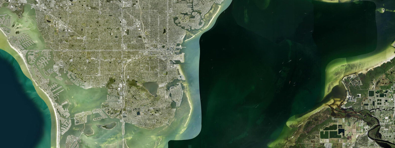
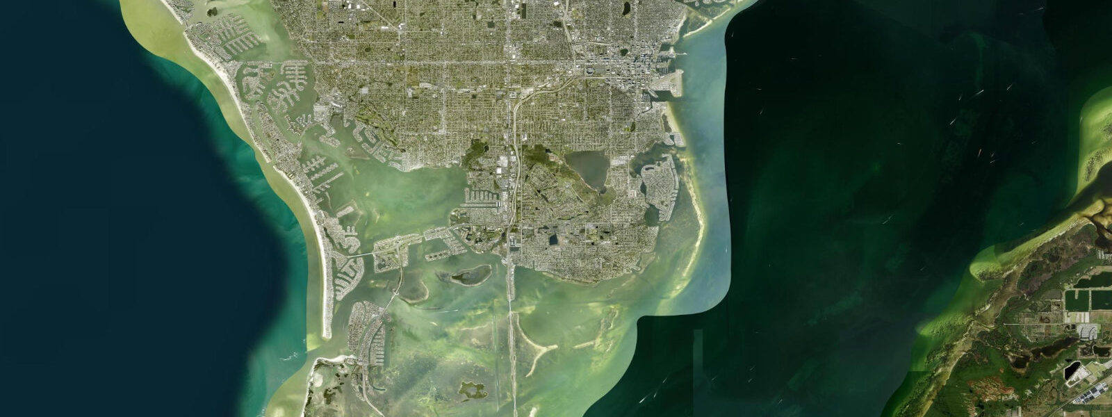
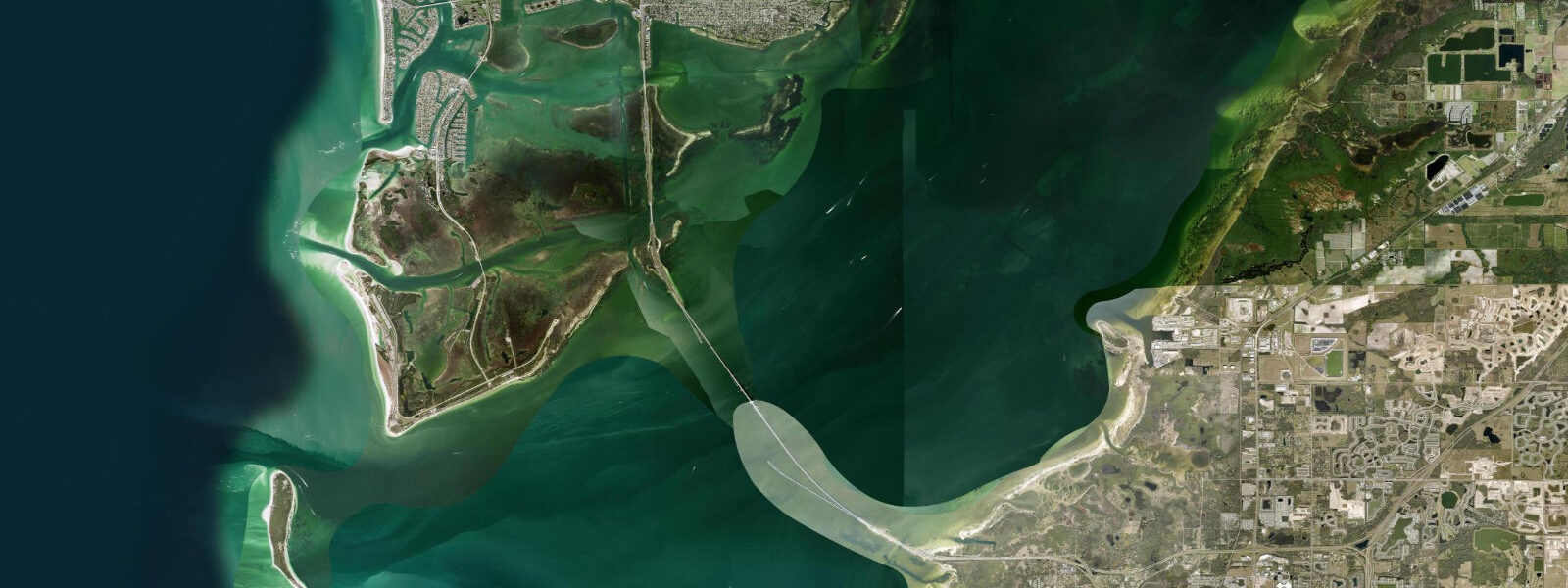
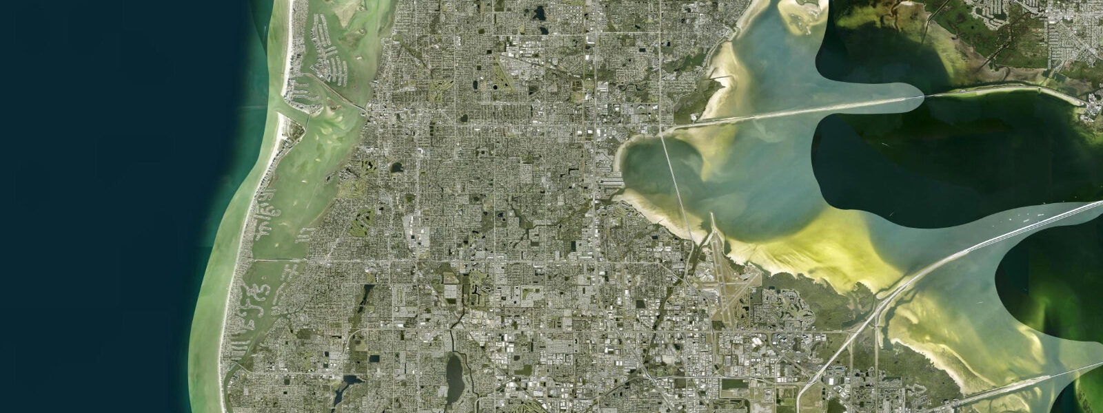
Tampa Bay is the largest open-water estuary on the Florida Gulf coast, with the working ports of Tampa, St Petersburg, and Port Manatee inside, the Sunshine Skyway bridge crossing its mouth, and Egmont Key guarding the bay entrance to the Gulf. The NOAA reference gauge sits at St Petersburg on the south side of the city, measuring the inner-bay signal that the cross-bay tunnel approach and the Bayway crossings all run on. 0 metre on the largest spring tides and dropping near flat on neaps.
The pattern shifts between mixed semidiurnal and diurnal across the lunar month: most days produce two highs and two lows of unequal size, but at certain points in the cycle one of the two excursions effectively disappears and the day reads as a single high-low. The astronomical forcing is small because the Gulf basin is broad and partially enclosed; what often dominates day-to-day water levels is wind and pressure rather than the moon. The bay's geometry concentrates flow through the narrow mouth at the Skyway, with currents on the change of tide running sharper than the height swing implies.
5-metre surge at the gauge, and the long-feared major-hurricane direct hit on Tampa Bay would push the figure substantially higher. Inshore fishers working the snook flats at Fort De Soto, kayakers crossing to Egmont Key, and the daily Bay Pines ferry skippers each read the table for different windows. Lowest spring lows around new and full moons widen the inner-bay flats at Boca Ciega and the seagrass beds at Picnic Island for hours either side.
NOAA CO-OPS station 8726520 supplies the harmonic predictions on this page; the National Hurricane Center is the authoritative real-time source during tropical landfall events.
Tide questions about Tampa (St Petersburg), FL
Quick answers to the most common questions about tide times, range, and water access at Tampa (St Petersburg), FL.
When is the next high tide at Tampa Bay?
The hero block shows the next high tide at the St Petersburg reference gauge in local Eastern time (EST in winter, EDT in summer). The 7-day table covers all the highs and lows. High water at the Tampa city port across the bay arrives a few minutes after St Petersburg; at the bay mouth near Egmont Key it leads by about half an hour.
What's the typical tide range at Tampa?
Mean range at the St Petersburg gauge is about 0.6 metres, climbing past 1.0 metre on the largest spring tides and dropping near flat on neaps. The pattern is mixed — most days produce two highs and two lows of unequal size, but at certain points in the lunar month it shifts toward strongly diurnal with a single dominant high-low cycle.
Where do these tide predictions come from?
NOAA CO-OPS station 8726520 at St Petersburg, the canonical Tampa Bay reference. NOAA computes predictions through harmonic analysis of decades of measured water levels at this exact gauge. That is the gold-standard method for tide prediction in US waters under normal weather; tropical-cyclone surge overrides the harmonic signal.
How does Hurricane season affect tides in Tampa Bay?
Hurricane season runs June through November and tropical-storm surge can lift water levels two metres or more above predicted. Hurricane Idalia (2023) drove a 1.5-metre surge at the gauge despite making landfall well to the north. A direct major-hurricane hit on Tampa Bay — long modelled, not yet realised — would push the figure substantially higher because the bay's geometry funnels storm surge toward the inner ports.
Is this safe to use for navigation?
No. For piloting in or out of Tampa Bay, transiting the Sunshine Skyway approach, or working the inner ports use NOAA's authoritative chart products, the Tampa Bay Pilots' guidance, the National Hurricane Center forecasts during tropical season, and the local notices to mariners. The Skyway bridge fender system stops ship strikes; the tide does not.
30-day tide table — Tampa (St Petersburg), FL
Heights relative to MLLW. Predictions: NOAA CO-OPS station 8726520 — heights relative to MLLW.
| Day | Type | Time | Height |
|---|---|---|---|
| Sun 26 Jul | High | 11:53 | 0.8m / 2.5ft |
| Low | 20:23 | 0.0m / 0.0ft | |
| Mon 27 Jul | High | 12:41 | 0.8m / 2.6ft |
| Low | 20:58 | 0.0m / 0.0ft | |
| Tue 28 Jul | High | 04:40 | 0.5m / 1.6ft |
| Low | 06:59 | 0.5m / 1.6ft | |
| High | 13:24 | 0.8m / 2.7ft | |
| Low | 21:28 | 0.0m / 0.1ft | |
| Wed 29 Jul | High | 04:45 | 0.5m / 1.6ft |
| Low | 07:48 | 0.5m / 1.5ft | |
| High | 14:05 | 0.8m / 2.7ft | |
| Low | 21:56 | 0.0m / 0.1ft | |
| Thu 30 Jul | High | 04:53 | 0.5m / 1.6ft |
| Low | 08:37 | 0.4m / 1.4ft | |
| High | 14:47 | 0.8m / 2.7ft | |
| Low | 22:23 | 0.1m / 0.2ft | |
| Fri 31 Jul | High | 05:02 | 0.5m / 1.7ft |
| Low | 09:25 | 0.4m / 1.2ft | |
| High | 15:30 | 0.8m / 2.6ft | |
| Low | 22:49 | 0.1m / 0.3ft | |
| Sat 01 Aug | High | 05:13 | 0.5m / 1.8ft |
| Low | 10:14 | 0.3m / 1.1ft | |
| High | 16:16 | 0.7m / 2.5ft | |
| Low | 23:16 | 0.1m / 0.4ft | |
| Sun 02 Aug | High | 05:31 | 0.6m / 1.9ft |
| Low | 11:06 | 0.3m / 0.9ft | |
| High | 17:06 | 0.7m / 2.3ft | |
| Low | 23:41 | 0.2m / 0.6ft | |
| Mon 03 Aug | High | 05:54 | 0.6m / 2.1ft |
| Low | 12:02 | 0.2m / 0.8ft | |
| High | 18:01 | 0.6m / 2.0ft | |
| Tue 04 Aug | Low | 00:05 | 0.2m / 0.8ft |
| High | 06:22 | 0.7m / 2.2ft | |
| Low | 13:07 | 0.2m / 0.6ft | |
| High | 19:05 | 0.5m / 1.7ft | |
| Wed 05 Aug | Low | 00:24 | 0.3m / 1.0ft |
| High | 06:55 | 0.7m / 2.3ft | |
| Low | 14:22 | 0.1m / 0.5ft | |
| High | 20:32 | 0.4m / 1.5ft | |
| Thu 06 Aug | Low | 00:34 | 0.4m / 1.2ft |
| High | 07:35 | 0.8m / 2.5ft | |
| Low | 15:45 | 0.1m / 0.3ft | |
| Fri 07 Aug | High | 08:27 | 0.8m / 2.6ft |
| Low | 17:09 | 0.0m / 0.1ft | |
| Sat 08 Aug | High | 09:35 | 0.8m / 2.7ft |
| Low | 18:24 | -0.0m / -0.0ft | |
| Sun 09 Aug | High | 10:49 | 0.8m / 2.8ft |
| Low | 19:26 | -0.0m / -0.1ft | |
| Mon 10 Aug | High | 11:59 | 0.9m / 2.9ft |
| Low | 20:17 | -0.1m / -0.2ft | |
| Tue 11 Aug | High | 04:14 | 0.5m / 1.7ft |
| Low | 06:23 | 0.5m / 1.6ft | |
| High | 13:00 | 0.9m / 2.9ft | |
| Low | 21:00 | -0.0m / -0.1ft | |
| Wed 12 Aug | High | 04:13 | 0.5m / 1.7ft |
| Low | 07:33 | 0.4m / 1.5ft | |
| High | 13:57 | 0.9m / 2.9ft | |
| Low | 21:36 | 0.0m / 0.1ft | |
| Thu 13 Aug | High | 04:21 | 0.5m / 1.7ft |
| Low | 08:32 | 0.4m / 1.3ft | |
| High | 14:50 | 0.9m / 2.8ft | |
| Low | 22:09 | 0.1m / 0.3ft | |
| Fri 14 Aug | High | 04:30 | 0.5m / 1.8ft |
| Low | 09:27 | 0.3m / 1.1ft | |
| High | 15:41 | 0.8m / 2.6ft | |
| Low | 22:38 | 0.2m / 0.5ft | |
| Sat 15 Aug | High | 04:42 | 0.6m / 1.9ft |
| Low | 10:21 | 0.3m / 0.9ft | |
| High | 16:33 | 0.7m / 2.4ft | |
| Low | 23:04 | 0.2m / 0.7ft | |
| Sun 16 Aug | High | 05:00 | 0.6m / 2.1ft |
| Low | 11:14 | 0.2m / 0.7ft | |
| High | 17:27 | 0.7m / 2.1ft | |
| Low | 23:28 | 0.3m / 0.9ft | |
| Mon 17 Aug | High | 05:24 | 0.7m / 2.2ft |
| Low | 12:10 | 0.2m / 0.6ft | |
| High | 18:25 | 0.6m / 1.9ft | |
| Low | 23:47 | 0.3m / 1.1ft | |
| Tue 18 Aug | High | 05:52 | 0.7m / 2.3ft |
| Low | 13:12 | 0.2m / 0.6ft | |
| High | 19:36 | 0.5m / 1.6ft | |
| Low | 23:57 | 0.4m / 1.3ft | |
| Wed 19 Aug | High | 06:26 | 0.7m / 2.4ft |
| Low | 14:23 | 0.2m / 0.5ft | |
| Thu 20 Aug | High | 07:06 | 0.7m / 2.4ft |
| Low | 15:46 | 0.1m / 0.5ft | |
| Fri 21 Aug | High | 08:01 | 0.7m / 2.3ft |
| Low | 17:12 | 0.1m / 0.4ft | |
| Sat 22 Aug | High | 09:16 | 0.7m / 2.3ft |
| Low | 18:23 | 0.1m / 0.3ft | |
| Sun 23 Aug | High | 10:39 | 0.7m / 2.4ft |
| Low | 19:14 | 0.1m / 0.2ft | |
| Mon 24 Aug | High | 03:04 | 0.5m / 1.8ft |
| Low | 05:32 | 0.5m / 1.7ft | |
| High | 11:47 | 0.8m / 2.5ft | |
| Low | 19:53 | 0.1m / 0.2ft |