Pensacola, FL tide times
Pensacola, FL tide forecast — heights relative to MSL.
Tide chart for Pensacola, FL
24-hour cosine-interpolated curve around the present moment. Heights relative to MSL. Predictions: Predictions: Open-Meteo Marine (MeteoFrance SMOC, 0.08° grid).
Sun, moon and conditions on Tue 23 Jun
Snapshot at build time — refreshes daily. Sea state from Open-Meteo Marine.
Highs and lows next 7 days
Every predicted high and low for the next week, with the daily tidal coefficient (0–120; higher = bigger swing, > 95 means stronger currents).
Other spots nearby
The three closest curated TideTurtle locations to Pensacola, FL, measured by great-circle distance.
Today's solunar windows
Solunar tradition: major periods are the ≈3h windows around moon transit and opposition; minor are ≈2h around moonrise and moonset. Pair with the local tide stage and wind for the best read.
About tides at Pensacola, FL
A short guide to the coastline at Pensacola, FL — geography, sea state, and what the tide is actually doing under your feet.
Pensacola sits at the western end of the Florida Panhandle, on the north shore of Pensacola Bay, where Escambia and Blackwater rivers meet salt water through a single narrow inlet at Pensacola Pass. The tide here runs the classic northern Gulf signal: diurnal, small, and far less important to daily life than the wind. Mean range at the harbour gauge is about 0.37 metres above MLLW, with the great diurnal range (highest high to lowest low of the day) reaching 0.38 metres on the bigger spring days. Most days produce one clear high and one clear low spaced roughly 24 hours apart. Around the moon's quarters the cycle briefly goes mixed diurnal — a smaller second cycle blips in alongside the dominant one — and then the single-cycle pattern returns.
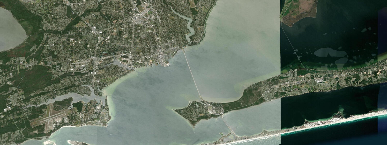
Pensacola Pass is the geographic feature that ties the bay to the Gulf and gives the local fishery its character. The pass is narrow, deep, and consistently flushes the back-bay system through one constricted throat, so currents in the inlet run harder than the modest tidal range would suggest. Snapper, grouper, king mackerel, and cobia stage along the rock jetties and the dredged channel edges, particularly on the outgoing tide when bait is pushed from Pensacola Bay into the Gulf. The Naval Air Station occupies the southern shore of the pass on Big Lagoon, and the Blue Angels' practice flights overhead are routine background for anyone fishing the jetties on a weekday morning.
Pensacola Beach sits on the Gulf side of Santa Rosa Island, a long barrier connected to the mainland by the Pensacola Bay Bridge and the Bob Sikes Bridge. The beach faces almost due south into the open Gulf and is built on the same quartz sand that gives the Panhandle its postcard-white appearance. Tidal range on the Gulf-facing beach itself is the same small diurnal signal as the bay, so the wet-sand strip widens by only 15 to 25 metres between high and low water on the gently sloping foreshore. Wave energy and storm swell move the beach far more than the tide does. The wreck of the USS Massachusetts, a pre-dreadnought battleship sunk as a target ship in 1921, lies in 8 metres of water about 2 kilometres off Pensacola Pass and is a popular dive site on calm days.
Fishing piers ring Pensacola Bay. The Pensacola Beach Gulf Pier, at 450 metres one of the longer Gulf-coast piers, produces pompano, Spanish mackerel, king mackerel in late summer, and the occasional tarpon and cobia in spring migration. The Bob Sikes Bridge fishing catwalk is a separate piece of infrastructure built specifically for shore anglers and runs the length of the bridge over Pensacola Pass. The pass itself is the cobia migration corridor every March and April; sight-casting from the catwalk and from boats stacked along the channel edge is a regional ritual.
Downtown Pensacola has the longest continuously settled European history in the contiguous United States — Spanish Tristan de Luna's 1559 colony predates St Augustine by six years, though it was abandoned after a hurricane and didn't stick. The Historic Pensacola Village preserves the colonial-era street grid; the Pensacola Lighthouse on the NAS grounds (1859) is open for tours when the air station permits public access. The Maritime Museum of the Gulf of Mexico at the foot of Palafox Street covers the regional fishing industry and the Spanish-period archaeology recovered from the 1559 wreck sites in the bay.
Photographers working the bayfront find the best light at the Plaza de Luna at sunrise (east-facing, the Pensacola Bay Bridge silhouetted) and at the Pensacola Beach pier at sunset (west-facing across the dunes). The wide quartz sand on Santa Rosa Island is at its whitest under cloud-filtered light; full midday sun bleaches photographs and overwhelms the dynamic range. For tide-aware shots, an incoming spring tide pulls the swash zone up against the dune toe and gives a clean foreground; a wind-driven low water on a north wind exposes the back-bay flats off the Naval Live Oaks Reservation east of the bay.
Predictions on this page come from NOAA CO-OPS station 8729840 (harmonic predictions, accurate to within minutes). Hurricane season runs June through November and storm surge during a Gulf landfall can override the harmonic signal entirely; the National Hurricane Center is the authoritative real-time source.
Tide questions about Pensacola, FL
Quick answers to the most common questions about tide times, range, and water access at Pensacola, FL.
What is the tidal range at Pensacola?
Pensacola has a small diurnal tide, mean range about 0.37 metres above MLLW at the harbour gauge. Most days produce one high and one low spaced roughly 24 hours apart. Near the moon's quarter phases the pattern briefly turns mixed diurnal with a small second cycle. Wind setup from sustained south or southeast winds can push water levels 0.3 metres or more above the predicted tide, and strong north winds drain the bay. For practical planning, check the wind forecast alongside the tide table.
When is the best time to fish Pensacola Pass?
The outgoing tide is the standard productive window at Pensacola Pass. As the bay drains through the inlet, baitfish concentrate in the throat of the pass and predators stage on the current edges along the jetties and the dredged channel. Cobia run the pass every March and April on the spring migration, sight-cast from the Bob Sikes Bridge catwalk and from boats stacked along the channel. Snapper, grouper, and king mackerel are summer targets on the offshore wrecks just outside the pass. A Florida saltwater fishing licence is required.
Where do these tide predictions come from?
NOAA CO-OPS station 8729840, Pensacola, on Pensacola Bay. NOAA's harmonic predictions for this station are calibrated against the long gauge record and resolve the strong diurnal constituent that dominates Gulf tides. Accuracy is navigation-grade under normal weather. The smaller absolute range here means storm surge can be proportionally very large compared to the underlying tide signal, and wind-driven setup regularly exceeds the astronomical tide.
Does Pensacola ever have minus tides?
Yes, on the MLLW datum that NOAA uses for this station. Lowest astronomical tide on record is minus 0.36 metres (minus 1.18 feet), recorded in January 2005. Negative tides on the Gulf are usually wind-assisted: a strong north or northwest wind on top of the predicted low pulls water further out of Pensacola Bay than astronomy alone would manage. The exposed bay-side flats on those days widen out the inshore wading and clamming opportunities, and the tide gauge web service shows the observed water level alongside the prediction in real time.
Is this safe to use for navigation?
No. For piloting through Pensacola Pass or any of the Gulf passes, use NOAA's authoritative chart products (NOAA Chart 11383) and the latest USCG notices. The pass currents run harder than the modest height swing implies, dredged channel edges shift, and shoaling in the bay can change between survey cycles. The pass is also a busy commercial and naval channel — monitor VHF Channel 16 and follow the local notices.
7-day tide table — Pensacola, FL
Heights relative to MSL. Predictions: Open-Meteo Marine (MeteoFrance SMOC, 0.08° grid) — heights relative to MSL (not chart datum / LAT). Model-derived.
| Day | Type | Time | Height |
|---|---|---|---|
| Tue 23 Jun | — | ||
| Wed 24 Jun | Low | 16:00 | -0.4m / -1.2ft |
| Thu 25 Jun | — | ||
| Fri 26 Jun | — | ||
| Sat 27 Jun | — | ||
| Sun 28 Jun | — | ||
| Mon 29 Jun | High | 08:00 | 0.1m / 0.4ft |
| Low | 18:00 | -0.5m / -1.5ft | |