Miami Beach (Virginia Key), FL tide times
Miami Beach (Virginia Key), FL tide forecast — heights relative to MLLW.
Today's tide times for Miami Beach (Virginia Key), FL
Tide times at Miami Beach (Virginia Key), FL on Sunday, 26 July 2026: first low tide at 12:44am, first high tide at 06:32am, second low tide at 12:52pm, second high tide at 07:24pm. Sunrise 06:44am, sunset 08:10pm.
Tide chart for Miami Beach (Virginia Key), FL
24-hour cosine-interpolated curve around the present moment. Heights relative to MLLW. Predictions: NOAA CO-OPS station 8723170.
Sun, moon and conditions on Sun 26 Jul
Snapshot at build time — refreshes daily. Sea state from NOAA harmonic predictions.
Highs and lows next 7 days
Every predicted high and low for the next week, with the daily tidal coefficient (0–120; higher = bigger swing, > 95 means stronger currents).
Other spots nearby
The three closest curated TideTurtle locations to Miami Beach (Virginia Key), FL, measured by great-circle distance.

Today's solunar windows
Solunar tradition: major periods are the ≈3h windows around moon transit and opposition; minor are ≈2h around moonrise and moonset. Pair with the local tide stage and wind for the best read.
Cycle dates near Miami Beach (Virginia Key), FL
Next spring tide on Wed 29 Jul (range 0.8m / 2.7ft). Next neap on Sun 26 Jul.
Spring tides cluster around new and full moons (biggest swings). Neap tides land on quarter moons (smallest swings). See the spring tide and neap tide glossary entries for the why.
About tides at Miami Beach (Virginia Key), FL
A short guide to the coastline at Miami Beach (Virginia Key), FL — geography, sea state, and what the tide is actually doing under your feet.
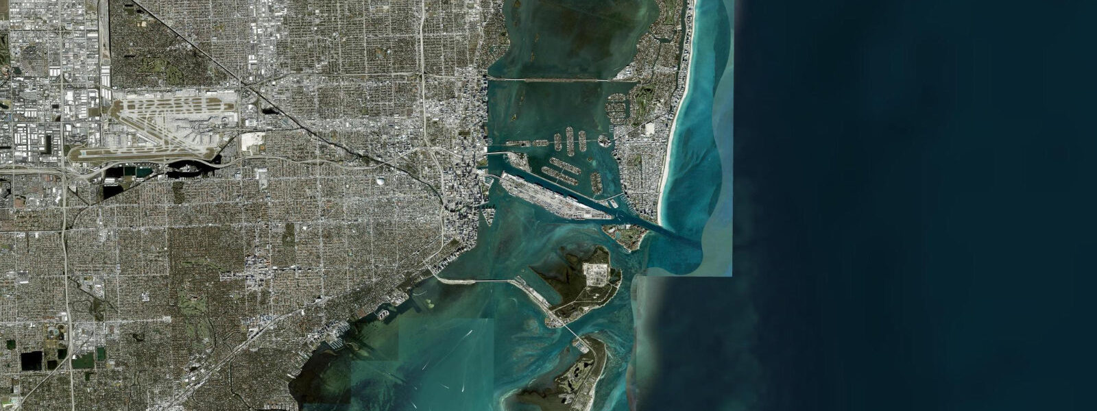
Miami Beach reads its tide from the Virginia Key gauge just south of Government Cut, the dredged channel that lets cruise ships into the Port of Miami. The pattern is cleanly semidiurnal — two highs and two lows of comparable size, twelve and a half hours apart. 9 on spring tides; modest by US East Coast standards but enough to reshape the inside of Biscayne Bay across each cycle.
The open beach itself loses 5–10 metres of width on the high and gets it back on the low, a small swing on a sand profile that runs flat and wide. South Beach photographers working the dawn light at low water get firmer wet sand and longer exposed shore than the higher half of the cycle gives. The tidal flow through Government Cut runs harder than the height swing implies, especially on the ebb when the bay drains seaward.
Predictions on this page come from NOAA CO-OPS station 8723170. Hurricane season runs June through November, and a tropical-storm surge can stack a metre or more above predicted on top of normal tide; the harmonic table assumes calm.
Tide questions about Miami Beach (Virginia Key), FL
Quick answers to the most common questions about tide times, range, and water access at Miami Beach (Virginia Key), FL.
When is the next high tide at Miami Beach?
The hero block above shows the next high tide at the Virginia Key gauge in local Eastern time, height above MLLW. The 7-day table below covers all four daily extremes. Government Cut, Haulover Inlet to the north, and the Port of Miami all read the same gauge with phase differences under 15 minutes.
What's the typical tide range at Miami Beach?
Mean range at Virginia Key is about 0.7 metres. Spring tides — around new and full moons — push to roughly 0.9 metres, neaps drop to about 0.5 metres. The Florida East Coast runs a smaller swing than the Carolinas or New England because the open Atlantic forcing isn't funnelled by a continental shelf the way Massachusetts Bay or the Bay of Fundy approaches are.
Where do these tide predictions come from?
NOAA CO-OPS station 8723170 at Virginia Key, just south of Government Cut. NOAA computes harmonic predictions from a long historical gauge record at this exact location. The result is navigation-grade accuracy under normal weather. Hurricane storm surge during named storms overrides the harmonic signal completely; the National Hurricane Center is the authoritative real-time source then.
When is low tide for the widest beach at South Beach?
South Beach gains 5–10 metres of width at the daily lower low. The widest, firmest walking surface is the hour either side of low water, and the swing reads largest on the spring tides around new and full moons. The 7-day table flags each day's lowest predicted tide; pair with the sunrise time on the sun/moon block for a dawn beach run on hard sand.
Is this safe to use for navigation?
No. For piloting in or out of Government Cut, Biscayne Bay, or the ICW use NOAA's authoritative chart products and the latest USCG notices. Cruise-ship traffic, the dredged main channel depths, and the strong currents through the Cut on the change of tide need real navigational sources, not a planning tool.
30-day tide table — Miami Beach (Virginia Key), FL
Heights relative to MLLW. Predictions: NOAA CO-OPS station 8723170 — heights relative to MLLW.
| Day | Type | Time | Height |
|---|---|---|---|
| Sun 26 Jul | Low | 00:44 | 0.2m / 0.6ft |
| High | 06:32 | 0.6m / 2.1ft | |
| Low | 12:52 | 0.0m / 0.1ft | |
| High | 19:24 | 0.7m / 2.4ft | |
| Mon 27 Jul | Low | 01:29 | 0.2m / 0.5ft |
| High | 07:18 | 0.7m / 2.2ft | |
| Low | 13:36 | 0.0m / 0.0ft | |
| High | 20:05 | 0.8m / 2.5ft | |
| Tue 28 Jul | Low | 02:10 | 0.1m / 0.4ft |
| High | 08:02 | 0.7m / 2.3ft | |
| Low | 14:17 | -0.0m / -0.0ft | |
| High | 20:43 | 0.8m / 2.5ft | |
| Wed 29 Jul | Low | 02:49 | 0.1m / 0.3ft |
| High | 08:43 | 0.7m / 2.4ft | |
| Low | 14:57 | -0.0m / -0.1ft | |
| High | 21:19 | 0.8m / 2.6ft | |
| Thu 30 Jul | Low | 03:25 | 0.1m / 0.2ft |
| High | 09:23 | 0.7m / 2.4ft | |
| Low | 15:35 | -0.0m / -0.1ft | |
| High | 21:54 | 0.8m / 2.6ft | |
| Fri 31 Jul | Low | 04:01 | 0.0m / 0.2ft |
| High | 10:03 | 0.8m / 2.5ft | |
| Low | 16:14 | -0.0m / -0.0ft | |
| High | 22:28 | 0.8m / 2.6ft | |
| Sat 01 Aug | Low | 04:37 | 0.0m / 0.1ft |
| High | 10:43 | 0.8m / 2.5ft | |
| Low | 16:52 | 0.0m / 0.0ft | |
| High | 23:04 | 0.8m / 2.6ft | |
| Sun 02 Aug | Low | 05:15 | 0.0m / 0.0ft |
| High | 11:26 | 0.8m / 2.6ft | |
| Low | 17:33 | 0.0m / 0.1ft | |
| High | 23:41 | 0.8m / 2.6ft | |
| Mon 03 Aug | Low | 05:56 | 0.0m / 0.0ft |
| High | 12:11 | 0.8m / 2.5ft | |
| Low | 18:17 | 0.1m / 0.2ft | |
| Tue 04 Aug | High | 00:22 | 0.8m / 2.5ft |
| Low | 06:41 | -0.0m / -0.0ft | |
| High | 13:02 | 0.8m / 2.5ft | |
| Low | 19:06 | 0.1m / 0.4ft | |
| Wed 05 Aug | High | 01:09 | 0.8m / 2.5ft |
| Low | 07:32 | -0.0m / -0.0ft | |
| High | 13:59 | 0.8m / 2.5ft | |
| Low | 20:02 | 0.1m / 0.5ft | |
| Thu 06 Aug | High | 02:03 | 0.7m / 2.4ft |
| Low | 08:31 | -0.0m / -0.0ft | |
| High | 15:03 | 0.8m / 2.5ft | |
| Low | 21:06 | 0.2m / 0.5ft | |
| Fri 07 Aug | High | 03:05 | 0.7m / 2.4ft |
| Low | 09:36 | -0.0m / -0.0ft | |
| High | 16:12 | 0.8m / 2.5ft | |
| Low | 22:16 | 0.2m / 0.5ft | |
| Sat 08 Aug | High | 04:14 | 0.7m / 2.4ft |
| Low | 10:45 | -0.0m / -0.1ft | |
| High | 17:20 | 0.8m / 2.6ft | |
| Low | 23:26 | 0.1m / 0.5ft | |
| Sun 09 Aug | High | 05:24 | 0.8m / 2.5ft |
| Low | 11:51 | -0.1m / -0.2ft | |
| High | 18:23 | 0.8m / 2.7ft | |
| Mon 10 Aug | Low | 00:30 | 0.1m / 0.3ft |
| High | 06:30 | 0.8m / 2.7ft | |
| Low | 12:53 | -0.1m / -0.3ft | |
| High | 19:20 | 0.9m / 2.9ft | |
| Tue 11 Aug | Low | 01:28 | 0.0m / 0.1ft |
| High | 07:30 | 0.9m / 2.8ft | |
| Low | 13:50 | -0.1m / -0.4ft | |
| High | 20:13 | 0.9m / 3.0ft | |
| Wed 12 Aug | Low | 02:21 | -0.0m / -0.0ft |
| High | 08:26 | 0.9m / 3.0ft | |
| Low | 14:42 | -0.1m / -0.4ft | |
| High | 21:01 | 0.9m / 3.1ft | |
| Thu 13 Aug | Low | 03:10 | -0.0m / -0.2ft |
| High | 09:18 | 0.9m / 3.0ft | |
| Low | 15:32 | -0.1m / -0.4ft | |
| High | 21:47 | 0.9m / 3.1ft | |
| Fri 14 Aug | Low | 03:57 | -0.1m / -0.2ft |
| High | 10:07 | 0.9m / 3.1ft | |
| Low | 16:19 | -0.1m / -0.3ft | |
| High | 22:31 | 0.9m / 3.1ft | |
| Sat 15 Aug | Low | 04:43 | -0.1m / -0.2ft |
| High | 10:55 | 0.9m / 3.0ft | |
| Low | 17:05 | -0.0m / -0.1ft | |
| High | 23:14 | 0.9m / 2.9ft | |
| Sun 16 Aug | Low | 05:28 | -0.0m / -0.1ft |
| High | 11:43 | 0.9m / 2.9ft | |
| Low | 17:50 | 0.0m / 0.1ft | |
| High | 23:56 | 0.9m / 2.8ft | |
| Mon 17 Aug | Low | 06:12 | -0.0m / -0.0ft |
| High | 12:30 | 0.8m / 2.7ft | |
| Low | 18:36 | 0.1m / 0.3ft | |
| Tue 18 Aug | High | 00:39 | 0.8m / 2.6ft |
| Low | 06:58 | 0.0m / 0.1ft | |
| High | 13:20 | 0.8m / 2.6ft | |
| Low | 19:24 | 0.2m / 0.6ft | |
| Wed 19 Aug | High | 01:24 | 0.7m / 2.4ft |
| Low | 07:46 | 0.1m / 0.3ft | |
| High | 14:14 | 0.7m / 2.4ft | |
| Low | 20:16 | 0.2m / 0.8ft | |
| Thu 20 Aug | High | 02:13 | 0.7m / 2.3ft |
| Low | 08:39 | 0.1m / 0.4ft | |
| High | 15:13 | 0.7m / 2.3ft | |
| Low | 21:15 | 0.3m / 0.9ft | |
| Fri 21 Aug | High | 03:08 | 0.7m / 2.2ft |
| Low | 09:36 | 0.1m / 0.5ft | |
| High | 16:15 | 0.7m / 2.3ft | |
| Low | 22:19 | 0.3m / 0.9ft | |
| Sat 22 Aug | High | 04:09 | 0.7m / 2.1ft |
| Low | 10:36 | 0.2m / 0.5ft | |
| High | 17:15 | 0.7m / 2.3ft | |
| Low | 23:21 | 0.3m / 0.9ft | |
| Sun 23 Aug | High | 05:11 | 0.7m / 2.2ft |
| Low | 11:33 | 0.1m / 0.5ft | |
| High | 18:08 | 0.7m / 2.4ft | |
| Mon 24 Aug | Low | 00:15 | 0.3m / 0.8ft |
| High | 06:06 | 0.7m / 2.3ft | |
| Low | 12:25 | 0.1m / 0.4ft | |
| High | 18:54 | 0.8m / 2.5ft |