New Haven, CT tide times
New Haven, CT tide forecast — heights relative to MSL.
Today's tide times for New Haven, CT
Tide times at New Haven, CT on Sunday, 21 June 2026: first high tide at 03:36am, first low tide at 09:52am, second high tide at 04:06pm. Sunrise 05:18am, sunset 08:28pm.
Tide chart for New Haven, CT
24-hour cosine-interpolated curve around the present moment. Heights relative to MSL. Predictions: Predictions: Open-Meteo Marine (MeteoFrance SMOC, 0.08° grid).
Sun, moon and conditions on Sun 21 Jun
Snapshot at build time — refreshes daily. Sea state from Open-Meteo Marine.
Highs and lows next 7 days
Every predicted high and low for the next week, with the daily tidal coefficient (0–120; higher = bigger swing, > 95 means stronger currents).
Other spots nearby
The three closest curated TideTurtle locations to New Haven, CT, measured by great-circle distance.

Today's solunar windows
Solunar tradition: major periods are the ≈3h windows around moon transit and opposition; minor are ≈2h around moonrise and moonset. Pair with the local tide stage and wind for the best read.
Cycle dates near New Haven, CT
Next spring tide on Sun 21 Jun (range 2.4m / 7.9ft). Next neap on Thu 25 Jun.
Spring tides cluster around new and full moons (biggest swings). Neap tides land on quarter moons (smallest swings). See the spring tide and neap tide glossary entries for the why.
About tides at New Haven, CT
A short guide to the coastline at New Haven, CT — geography, sea state, and what the tide is actually doing under your feet.
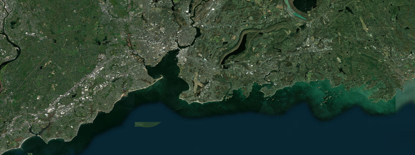
New Haven sits at the head of New Haven Harbor, where the Quinnipiac River, West River, and Mill River converge before emptying into Long Island Sound through a harbor mouth roughly 1.5 km wide. The harbor is approximately 6 km long from the downtown waterfront to Oyster Point, sheltered on the west by Savin Rock and on the east by Lighthouse Point. Tides are semidiurnal — two highs and two lows per day, each roughly 6.2 hours apart — with a mean range near 1.8 m MLLW. The predicted higher high water on a typical day reaches about 1.7 m MLLW; the lower low drops to approximately 0.0 m MLLW. New Haven sits toward the middle of the Sound's east-west gradient, experiencing slightly less range than Bridgeport to the west (mean range ~1.9 m) and more than Mystic to the east (~1.5 m).
The intertidal zone of New Haven Harbor is dominated by oyster culture and salt marsh. The Morris Cove area, on the east side of the harbor near Lighthouse Point Park, exposes roughly 150 m of sandy intertidal flat at mean lower low water. Fort Hale Park, at the southeastern edge of New Haven, was the site of the Granniss Corner Battery in the War of 1812; today its shoreline retains the stone jetty and riprap from that era, and the intertidal zone beneath the park's bluff exposes at tides below 0.4 m MLLW. The New Haven Lighthouse (Southwest Ledge Light), a cast-iron lighthouse built in 1877 on a granite caisson at the harbor entrance, stands 18.3 m above mean high water and is accessible only by boat — it sits on a 0.3-hectare ledge that is completely submerged at mean high water and barely awash at mean lower low. Kayakers who circumnavigate it on calm days can spot the ledge bottom at 0.5–1.5 m depth during the low-water window.
New Haven Harbor's oyster beds stretch from the Quinnipiac River mouth south toward Oyster Point and west along the harbor margins. The City Point area, west of downtown, was one of the original commercial oystering grounds in the 19th century; today licensed aquaculture operations seed the harbor bottom with spat each spring. Oystermen work the beds on the early ebb — the 2–3 hours following the predicted high water — when boats can still float over the shallow areas and the tide is running enough to flush sediment. At mean lower low water the western harbor shoals expose to a depth of 0.3–0.5 m, limiting access to vessels drawing less than 0.6 m.
Fishermen targeting striped bass and bluefish in New Haven Harbor focus on the harbor mouth channel between Lighthouse Point and the Southwest Ledge at tide transitions: the first hour of the ebb and the last hour before high water produce the most consistent action as baitfish concentrate in the current edge. Kayak anglers launching from the Lighthouse Point boat ramp (off Lighthouse Road) can reach the lighthouse in 15 minutes and drift the east side of the channel on an outgoing tide. Families and birdwatchers use the Lighthouse Point Park salt marsh trails at mid-tide, when the marsh creeks are full and shorebird activity on the mudflats is highest — the 2–3 hours around mid-flood show the greatest variety of feeding birds on the flat edges.
TideTurtle tide predictions for New Haven are generated from Open-Meteo Marine, a free gridded global ocean model. Accuracy is typically ±45 minutes on timing and ±0.2–0.3 m on height compared to observed tides. At a mean range of 1.8 m, a 0.2 m height error is roughly 11% of the total range — meaningful for flat access and bar-crossing decisions. NOAA CO-OPS is the authoritative source for New Haven tide data; the primary gauge is New Haven, CT (Station 8465705) at tidesandcurrents.noaa.gov.
Tide questions about New Haven, CT
Quick answers to the most common questions about tide times, range, and water access at New Haven, CT.
What is the tidal range in New Haven, Connecticut?
New Haven has a mean tidal range of approximately 1.8 m (about 5.9 ft) MLLW. The tides are semidiurnal: two highs and two lows each day, spaced roughly 6.2 hours apart. New Haven sits roughly in the middle of Long Island Sound's tidal gradient — slightly less range than Bridgeport to the west (mean ~1.9 m) and more than Mystic to the east (~1.5 m). Diurnal inequality is minor compared to Pacific Coast ports.
Where are the oyster beds in New Haven Harbor and can I access them?
New Haven Harbor's commercial oyster beds concentrate in the Quinnipiac River mouth area, around Oyster Point, and along the western harbor margins near City Point. These are licensed aquaculture grounds and are not open for public harvest. Recreational shellfish harvesting in New Haven Harbor requires a Connecticut shellfishing license and is limited to areas designated open by the Connecticut Department of Agriculture Bureau of Aquaculture. Check the Bureau's current closure maps before harvesting — portions of the harbor are periodically closed due to water quality.
What is the best time to fish New Haven Harbor on the tide?
Striped bass and bluefish concentrate near the Southwest Ledge Light and the harbor mouth channel during tidal transitions. The first 60–90 minutes of the ebb — starting roughly 30 minutes after the predicted high water at Station 8465705 — is consistently the most productive period for casting plugs or drifting eels from a kayak or small boat. The pre-dawn flood in June and July produces good surface action for striped bass in the 2–4 kg range along the Lighthouse Point shoreline.
Can I kayak to the New Haven Lighthouse (Southwest Ledge Light)?
Yes, from Lighthouse Point Park boat ramp (Lighthouse Road, off Townsend Avenue) the lighthouse is roughly 15–20 minutes of paddling. The Southwest Ledge Light sits on a granite caisson at the harbor entrance; the ledge itself is submerged at high water and barely exposed at mean lower low. Plan to arrive within 2 hours of low water for the clearest look at the underwater ledge. Avoid paddling the harbor mouth during spring ebb tides when current runs 0.5–0.8 knots and boat traffic in the shipping channel is heaviest.
Is this tide information safe to use for navigation?
No. TideTurtle predictions for New Haven are generated from Open-Meteo Marine, a free gridded global ocean model with typical accuracy of ±45 minutes on timing and ±0.2–0.3 m on height. NOAA CO-OPS is the authoritative source: use Station 8465705 (New Haven, CT) at tidesandcurrents.noaa.gov for all navigation, passage planning, and safety-critical decisions in New Haven Harbor.
7-day tide table — New Haven, CT
Heights relative to MSL. Predictions: Open-Meteo Marine (MeteoFrance SMOC, 0.08° grid) — heights relative to MSL (not chart datum / LAT). Model-derived.
| Day | Type | Time | Height |
|---|---|---|---|
| Sun 21 Jun | High | 03:36 | 0.6m / 2.0ft |
| Low | 09:52 | -1.6m / -5.3ft | |
| High | 16:06 | 0.7m / 2.4ft | |
| Mon 22 Jun | Low | 10:44 | -1.5m / -5.1ft |
| High | 17:10 | 0.9m / 2.8ft | |
| Tue 23 Jun | Low | 11:38 | -1.5m / -5.0ft |
| High | 18:00 | 0.7m / 2.3ft | |
| Wed 24 Jun | Low | 00:23 | -1.5m / -4.9ft |
| High | 06:21 | 0.4m / 1.2ft | |
| Low | 12:32 | -1.5m / -5.0ft | |
| High | 18:55 | 0.7m / 2.3ft | |
| Thu 25 Jun | Low | 01:18 | -1.5m / -4.9ft |
| High | 07:21 | 0.4m / 1.2ft | |
| Low | 13:22 | -1.4m / -4.5ft | |
| High | 19:40 | 0.7m / 2.3ft | |
| Fri 26 Jun | Low | 02:02 | -1.5m / -4.9ft |
| High | 08:08 | 0.5m / 1.6ft | |
| Low | 14:09 | -1.4m / -4.5ft | |
| High | 20:28 | 0.8m / 2.6ft | |
| Sat 27 Jun | Low | 02:51 | -1.5m / -4.9ft |
| High | 08:55 | 0.5m / 1.6ft | |
| Low | 14:57 | -1.5m / -4.8ft | |
| High | 19:00 | 0.1m / 0.4ft |