Homer, AK tide times
Homer, AK tide forecast — heights relative to MSL.
Today's tide times for Homer, AK
Tide times at Homer, AK on Saturday, 20 June 2026: first low tide at 02:00pm, first high tide at 05:31pm, second low tide at 11:40pm. Sunrise 02:45am, sunset 09:29pm.
Tide chart for Homer, AK
24-hour cosine-interpolated curve around the present moment. Heights relative to MSL. Predictions: Predictions: Open-Meteo Marine (MeteoFrance SMOC, 0.08° grid).
Sun, moon and conditions on Sat 20 Jun
Snapshot at build time — refreshes daily. Sea state from Open-Meteo Marine.
Highs and lows next 7 days
Every predicted high and low for the next week, with the daily tidal coefficient (0–120; higher = bigger swing, > 95 means stronger currents).
Other spots nearby
The three closest curated TideTurtle locations to Homer, AK, measured by great-circle distance.
Today's solunar windows
Solunar tradition: major periods are the ≈3h windows around moon transit and opposition; minor are ≈2h around moonrise and moonset. Pair with the local tide stage and wind for the best read.
Cycle dates near Homer, AK
Last spring tide on Sat 20 Jun (range 4.8m / 15.8ft). Next spring tide on Fri 26 Jun (range 4.9m / 16.1ft). Next neap on Mon 22 Jun.
Spring tides cluster around new and full moons (biggest swings). Neap tides land on quarter moons (smallest swings). See the spring tide and neap tide glossary entries for the why.
About tides at Homer, AK
A short guide to the coastline at Homer, AK — geography, sea state, and what the tide is actually doing under your feet.
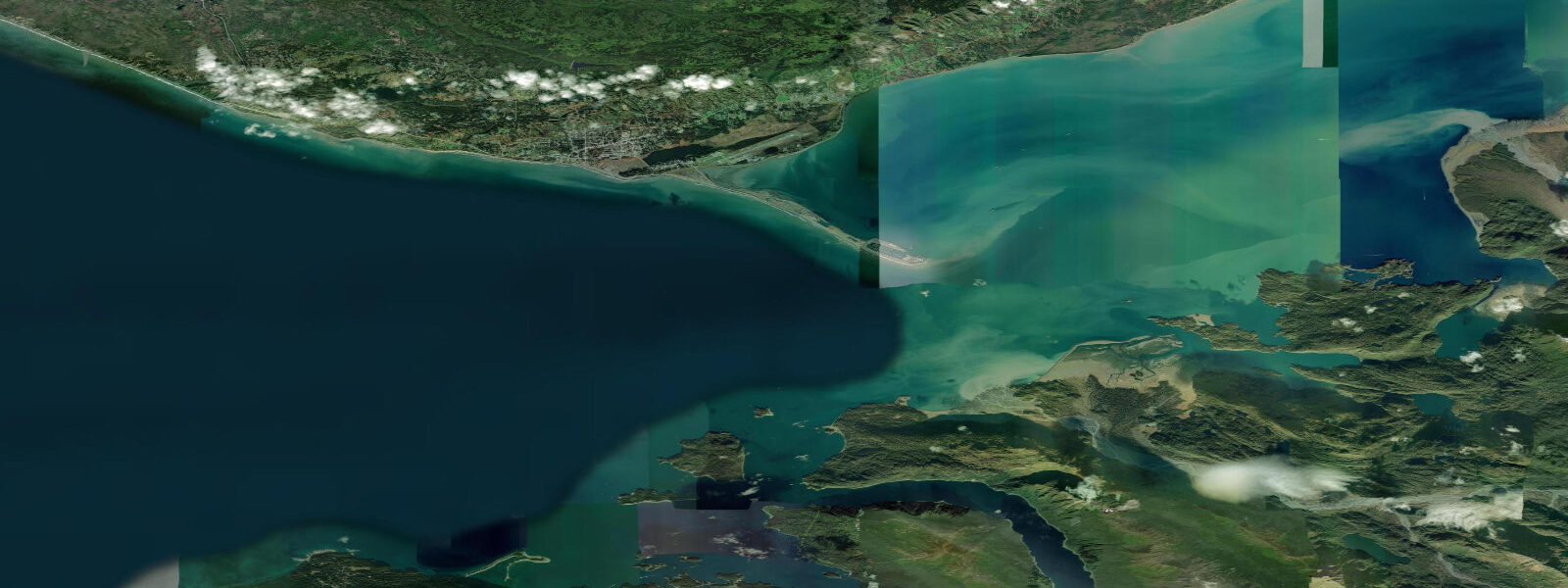
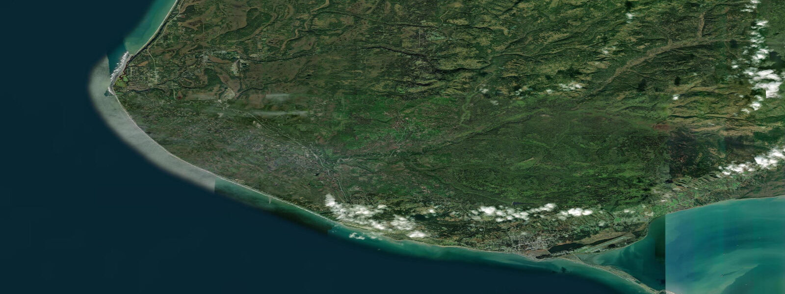
Homer occupies the south shore of the Kenai Peninsula where it meets the head of Kachemak Bay, a deep fjord cutting east off the lower Cook Inlet. Cook Inlet is one of the most tide-dominated waterways in North America, and Kachemak Bay is its south-side arm. Tides at Homer (NOAA Station 9455920) are semidiurnal with pronounced diurnal inequality and a mean range of approximately 5.4 m MLLW — the largest in this batch and among the largest regularly experienced by recreational users anywhere on the US coast. On maximum spring tides the range can reach 7.3 m. The predicted higher high water on a typical day sits near 6.0–6.5 m MLLW; the lower low drops to 0.1–0.2 m MLLW. A +0.9 m tide is a high tide by Long Island Sound standards; at Homer it exposes more than 3 km of intertidal flat across the bay.
Homer Spit is a 7 km gravel bar projecting southeast into Kachemak Bay — the longest natural gravel spit in Alaska accessible by road. At mean higher high water (approximately 6.1 m MLLW), saltwater reaches to within 5–10 m of the road on the spit's south side. At mean lower low water (0.2 m MLLW), the exposed tidal flat on the north (bay) side of the spit extends up to 300 m offshore and connects to the larger tidal flat system that covers 22 km² across Kachemak Bay at low water. The Spit is home to the Small Boat Harbor, the primary launch point for halibut charter boats. Halibut boats typically depart 1 hour before low water — the strongest tidal currents in Kachemak Bay run 2–3 knots on the ebb near the spit tip, and halibut hold on the bottom in these current-swept areas. The timing of peak low water at Homer varies by up to 2 hours depending on whether it falls on a spring or neap cycle.
Across the bay from Homer Spit, the south shore of Kachemak Bay (accessible by water taxi from the Spit, roughly 10 minutes) exposes extensive intertidal clam beds at low tide. Pacific razor clams and steamer clams concentrate in the gravel-sand mix at 0.3–0.9 m MLLW. The window for productive clamming runs from approximately 2.5 hours before the predicted lower low to 1.5 hours after — roughly a 4-hour window centered on the low. Experienced diggers time the run to a predicted low below 0.4 m MLLW; anything above 0.5 m MLLW cuts the productive flat significantly. The tidal flat across Kachemak Bay also hosts harbor seals hauled out on sand bars from 4 hours before the low through the early flood, and beluga whales from Cook Inlet occasionally enter the bay on high spring tides chasing eulachon and salmon.
Halibut charter fishing is Homer's primary commercial draw, with approximately 60–80 charter boats operating out of the Small Boat Harbor from May through September. Most halibut charters work the 20–40 fathom ledge system on the outer bay, where bottom current driven by the tidal cycle keeps bait moving. The incoming tide (flood) is generally considered better fishing for halibut in Kachemak Bay; charter captains target the first half of the flood, roughly 1.5–3.5 hours after the predicted low water. Kayakers crossing from Homer Spit to the south shore state park must contend with tidal currents near the spit tip — up to 2.5 knots on spring tides — and plan the crossing around slack water, which occurs approximately 30 minutes after the predicted high or low at the Homer gauge. Landscape photographers using the low tidal flats for foreground reflection work have the most reliable conditions at lower-low tides below 0.3 m MLLW on clear mornings, when the flat holds shallow pools reflecting the Kenai Mountains across the bay.
TideTurtle tide predictions for Homer are generated from Open-Meteo Marine, a free gridded global ocean model. Accuracy is typically ±45 minutes on timing and ±0.2–0.3 m on height compared to observed tides. At Homer, where the range reaches 7 m on spring tides, a 0.3 m height error translates to a significant difference in how far the tide reaches on the flat — plan conservatively. NOAA CO-OPS is the authoritative source for Homer tide data; the primary gauge is Homer, AK (Station 9455920) at tidesandcurrents.noaa.gov. Use NOAA CO-OPS for halibut charter scheduling, clam-flat timing, and any safety-critical planning.
Tide questions about Homer, AK
Quick answers to the most common questions about tide times, range, and water access at Homer, AK.
What is the tidal range in Homer, Alaska?
Homer has the largest mean tidal range of any place on TideTurtle's Alaska coverage: approximately 5.4 m (about 17.7 ft) MLLW. On maximum spring tides the range reaches 7.3 m. The tides are semidiurnal with strong diurnal inequality — on some days one of the daily lows is nearly a foot higher than the other. These large ranges are driven by Cook Inlet's funnel geometry, which amplifies tidal energy from the Gulf of Alaska as it moves northward.
What does Homer Spit look like at low tide versus high tide?
Homer Spit is 7 km long and at mean higher high water (about 6.1 m MLLW) saltwater approaches within 5–10 m of the road on the bay side. At mean lower low water (approximately 0.2 m MLLW) more than 300 m of gravel and sand flat exposes on the north side of the spit, connecting to a 22 km² tidal flat system that spans the full width of Kachemak Bay at its head. The tidal flat is exposed for roughly 3–4 hours around each low tide and floods quickly: expect 2–3 m of vertical change in the 2 hours following the low.
When is the best time to go halibut fishing out of Homer?
Most Homer charter captains prefer the flood tide — roughly 1.5–3.5 hours after the predicted lower low water — when current over the 20–40 fathom ledge system outside the bay keeps bait moving and halibut active on the bottom. Charter boats typically depart the Small Boat Harbor about 1 hour before low water to be on the grounds when the flood begins. The predicted low water time at Homer (NOAA Station 9455920) is the reference point; add roughly 30–45 minutes for transit to the ledge grounds.
Can I dig clams on the tidal flats near Homer?
The south shore of Kachemak Bay, accessible by water taxi from Homer Spit (approximately 10 minutes, fare varies by operator), exposes productive razor clam and steamer clam beds at tides below about 0.4 m MLLW. The productive window is roughly 4 hours centered on the predicted lower low water. A predicted low of 0.3 m MLLW or lower gives the best access. Before any harvest, check the Alaska Department of Environmental Conservation's shellfish biotoxin hotline for current closures — paralytic shellfish poisoning closures are common in Kachemak Bay.
Is this tide information safe to use for navigation?
No. TideTurtle predictions for Homer are generated from Open-Meteo Marine, a free gridded global ocean model with typical accuracy of ±45 minutes on timing and ±0.2–0.3 m on height. At Homer's 7 m spring range, a 0.3 m height error is meaningful for flat access and current strength. NOAA CO-OPS is the authoritative source: use Station 9455920 (Homer, AK) at tidesandcurrents.noaa.gov for all navigation, commercial fishing, and safety-critical planning.
8-day tide table — Homer, AK
Heights relative to MSL. Predictions: Open-Meteo Marine (MeteoFrance SMOC, 0.08° grid) — heights relative to MSL (not chart datum / LAT). Model-derived.
| Day | Type | Time | Height |
|---|---|---|---|
| Sat 20 Jun | Low | 14:00 | -0.5m / -1.6ft |
| High | 17:31 | 2.5m / 8.2ft | |
| Low | 23:40 | -1.8m / -6.0ft | |
| Sun 21 Jun | High | 05:38 | 1.8m / 6.1ft |
| Low | 11:50 | -2.3m / -7.6ft | |
| High | 18:20 | 2.3m / 7.6ft | |
| Mon 22 Jun | Low | 00:43 | -1.7m / -5.7ft |
| High | 06:44 | 1.4m / 4.7ft | |
| Low | 12:43 | -1.7m / -5.6ft | |
| High | 19:14 | 2.2m / 7.1ft | |
| Tue 23 Jun | Low | 01:50 | -1.8m / -5.8ft |
| High | 08:00 | 1.2m / 3.8ft | |
| Low | 13:44 | -1.2m / -4.0ft | |
| High | 20:08 | 2.0m / 6.7ft | |
| Wed 24 Jun | Low | 02:55 | -1.9m / -6.3ft |
| High | 09:18 | 1.1m / 3.7ft | |
| Low | 14:46 | -0.9m / -3.1ft | |
| High | 21:04 | 2.0m / 6.7ft | |
| Thu 25 Jun | Low | 03:54 | -2.1m / -6.9ft |
| High | 10:28 | 1.3m / 4.3ft | |
| Low | 15:47 | -0.8m / -2.6ft | |
| High | 21:57 | 2.1m / 7.0ft | |
| Fri 26 Jun | Low | 04:42 | -2.3m / -7.6ft |
| High | 11:23 | 1.6m / 5.3ft | |
| Low | 16:41 | -0.8m / -2.6ft | |
| High | 22:43 | 2.3m / 7.6ft | |
| Sat 27 Jun | Low | 05:25 | -2.6m / -8.5ft |
| High | 12:06 | 1.8m / 5.9ft |