Barmouth tide times
Barmouth tide forecast — heights relative to MSL.
Today's tide times for Barmouth
Tide times at Barmouth on Friday, 19 June 2026: first high tide at 01:00, first low tide at 06:42, second high tide at 11:16, second low tide at 18:54, third high tide at 23:37. Sunrise 04:51, sunset 21:43.
Tide chart for Barmouth
24-hour cosine-interpolated curve around the present moment. Heights relative to MSL. Predictions: Predictions: Open-Meteo Marine (MeteoFrance SMOC, 0.08° grid).
Sun, moon and conditions on Fri 19 Jun
Snapshot at build time — refreshes daily. Sea state from Open-Meteo Marine.
Highs and lows next 7 days
Every predicted high and low for the next week, with the daily tidal coefficient (0–120; higher = bigger swing, > 95 means stronger currents).
Other spots nearby
The three closest curated TideTurtle locations to Barmouth, measured by great-circle distance.
Today's solunar windows
Solunar tradition: major periods are the ≈3h windows around moon transit and opposition; minor are ≈2h around moonrise and moonset. Pair with the local tide stage and wind for the best read.
Cycle dates near Barmouth
Last spring tide on Fri 19 Jun (range 4.2m / 13.9ft). Next neap on Wed 24 Jun.
Spring tides cluster around new and full moons (biggest swings). Neap tides land on quarter moons (smallest swings). See the spring tide and neap tide glossary entries for the why.
About tides at Barmouth
A short guide to the coastline at Barmouth — geography, sea state, and what the tide is actually doing under your feet.
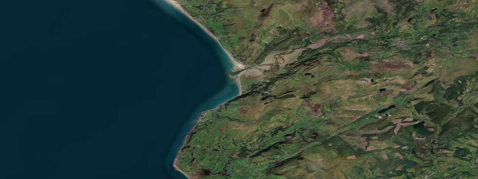
Barmouth sits on the southern edge of Cardigan Bay where the Mawddach Estuary meets Cardigan Bay. The Barmouth Bridge — a 800-metre viaduct carrying the Cambrian Coast Railway across the estuary mouth — is a visual anchor for the town and one of the longest timber rail viaducts in Wales. The Cadair Idris mountain rises directly behind the town, and on clear days the view from the beach is mountain-to-sea with nothing in between. Mean spring tidal range is around 3.5 metres; the estuary geometry amplifies this in the upper reaches.
The beach is 5 kilometres of sand running south from the town along the Morfa Dyffryn dunes. It's exposed and faces west into Cardigan Bay, which generates Atlantic swell from southwesterly and westerly storms. Surf at Barmouth is inconsistent but genuine — 2 to 4 foot beach break in autumn and winter on westerly swells. The town beach in front of the promenade is flatter and less powerful than the dune section south of the fairground.
The Mawddach Estuary is the second most important feature. The estuary trail (11 km from Barmouth to Dolgellau) runs along the southern bank and is one of the more scenic flat walks in Wales. The rail viaduct walk connects north and south banks for pedestrians and cyclists. On an incoming tide the estuary channels fill with brackish water and the mudflats come alive with wading birds — dunlin, redshank, curlew, and oystercatcher work the exposed mud ahead of the flood.
Fishing in the estuary yields sea trout (sewin, in Welsh fishing culture) from June through September. Sewin are a prized species in Wales — larger than the river-run fish and highly prized among fly fishermen who wade the estuary channels on the lower tide. The Mawddach is considered one of the better Welsh sewin rivers; a local permit is required and available from tackle shops in Barmouth.
Cycling the Cambrian Coast and the Mawddach Trail is popular; the Sustrans network connects Barmouth to Harlech north and Aberystwyth south. The single-track Cambrian Coast railway provides a scenic alternative to driving for day visitors from Wrexham or Shrewsbury.
Tide predictions on this page come from Open-Meteo Marine, a gridded global ocean model, cross-referenced with UK Environment Agency gauge data. For the most accurate local predictions, consult the UK National Tide Gauge Network via CEFAS or the UKHO's EasyTide service.
Tide questions about Barmouth
Quick answers to the most common questions about tide times, range, and water access at Barmouth.
Is there surf at Barmouth?
Barmouth has inconsistent beach break surf on west to southwest Atlantic swell in autumn and winter. Wave height is typically 2 to 4 feet on productive days; the dune section south of the main beach handles swell better than the town beach. There is no dedicated surf school in Barmouth; the nearest regular surf instruction is at Aberdaron (Llŷn Peninsula) or Newgale (Pembrokeshire). In summer the bay is generally flat.
What is sewin fishing on the Mawddach?
Sewin is the Welsh name for sea trout (Salmo trutta) that have spent time at sea before returning to rivers to spawn. The Mawddach is one of the better sewin rivers in Wales — fish run from June through September. Fly fishing for sewin is typically done after dark at low water when the fish move onto the estuary flats. A rod licence from Natural Resources Wales plus a local permit (available at Barmouth tackle shops) is required. Catch-and-release is encouraged for this stock.
Can I walk across the Barmouth Bridge?
Yes — the Barmouth Bridge (Pont y Bermo) has a pedestrian walkway alongside the railway track, connecting Barmouth on the north side to Fairbourne on the south. The walk is 800 metres each way and free for pedestrians; cyclists pay a small toll. The views across the estuary to Cadair Idris are exceptional on a clear day. Trains cross regularly — stay on the designated walkway. The structure dates to 1867 and is a Grade I listed structure.
What birds can I see on the Mawddach Estuary?
The Mawddach is an SSSI and one of the better estuaries in Wales for wading birds. On an incoming tide: dunlin, redshank, curlew, oystercatcher, and grey plover feed on the exposed mudflats ahead of the flood. In winter, wigeon, teal, and mergansers use the estuary channel. The Mawddach Trail (south bank, Barmouth to Dolgellau) passes through the best birding sections; early morning at low tide on a calm day gives the highest counts.
How do I reach Barmouth by public transport?
The Cambrian Coast Railway connects Barmouth to Machynlleth (where it joins the Cambrian Main Line to Birmingham and Shrewsbury) and north to Harlech and Pwllheli. Services run several times daily; journey time to Birmingham New Street is about 3.5 hours. The Cambrian Way long-distance path passes through Barmouth for walkers. There are no direct motorway links; the A496 and A493 roads are narrow and scenic — not quick.
8-day tide table — Barmouth
Heights relative to MSL. Predictions: Open-Meteo Marine (MeteoFrance SMOC, 0.08° grid) — heights relative to MSL (not chart datum / LAT). Model-derived.
| Day | Type | Time | Height |
|---|---|---|---|
| Fri 19 Jun | High | 01:00 | 1.0m / 3.3ft |
| Low | 06:42 | -2.4m / -7.9ft | |
| High | 11:16 | 1.5m / 5.1ft | |
| Low | 18:54 | -1.9m / -6.3ft | |
| High | 23:37 | 1.8m / 5.9ft | |
| Sat 20 Jun | Low | 07:35 | -2.3m / -7.7ft |
| High | 12:09 | 1.0m / 3.3ft | |
| Low | 19:46 | -1.9m / -6.3ft | |
| Sun 21 Jun | High | 00:29 | 1.4m / 4.5ft |
| Low | 20:40 | -1.6m / -5.3ft | |
| Mon 22 Jun | High | 01:26 | 1.1m / 3.7ft |
| Low | 09:27 | -1.7m / -5.6ft | |
| High | 14:12 | 0.7m / 2.3ft | |
| Low | 21:40 | -1.3m / -4.4ft | |
| Tue 23 Jun | High | 02:42 | 0.9m / 3.0ft |
| Low | 10:32 | -1.5m / -5.0ft | |
| Wed 24 Jun | High | 04:06 | 0.8m / 2.5ft |
| Low | 11:36 | -1.3m / -4.4ft | |
| High | 16:50 | 0.7m / 2.2ft | |
| Thu 25 Jun | Low | 00:00 | -1.1m / -3.7ft |
| High | 05:10 | 0.8m / 2.7ft | |
| Low | 12:37 | -1.3m / -4.1ft | |
| High | 17:45 | 0.9m / 2.9ft | |
| Fri 26 Jun | Low | 00:00 | -1.0m / -3.2ft |