Southwold tide times
Southwold tide forecast — heights relative to MSL.
Today's tide times for Southwold
Tide times at Southwold on Sunday, 21 June 2026: first low tide at 01:00, first high tide at 03:50, second low tide at 09:24, second high tide at 15:38, third low tide at 22:02. Sunrise 04:30, sunset 21:18.
Tide chart for Southwold
24-hour cosine-interpolated curve around the present moment. Heights relative to MSL. Predictions: Predictions: Open-Meteo Marine (MeteoFrance SMOC, 0.08° grid).
Sun, moon and conditions on Sun 21 Jun
Snapshot at build time — refreshes daily. Sea state from Open-Meteo Marine.
Highs and lows next 7 days
Every predicted high and low for the next week, with the daily tidal coefficient (0–120; higher = bigger swing, > 95 means stronger currents).
Other spots nearby
The three closest curated TideTurtle locations to Southwold, measured by great-circle distance.

Today's solunar windows
Solunar tradition: major periods are the ≈3h windows around moon transit and opposition; minor are ≈2h around moonrise and moonset. Pair with the local tide stage and wind for the best read.
Cycle dates near Southwold
Last spring tide on Sun 21 Jun (range 2.2m / 7.1ft). Next neap on Thu 25 Jun.
Spring tides cluster around new and full moons (biggest swings). Neap tides land on quarter moons (smallest swings). See the spring tide and neap tide glossary entries for the why.
About tides at Southwold
A short guide to the coastline at Southwold — geography, sea state, and what the tide is actually doing under your feet.
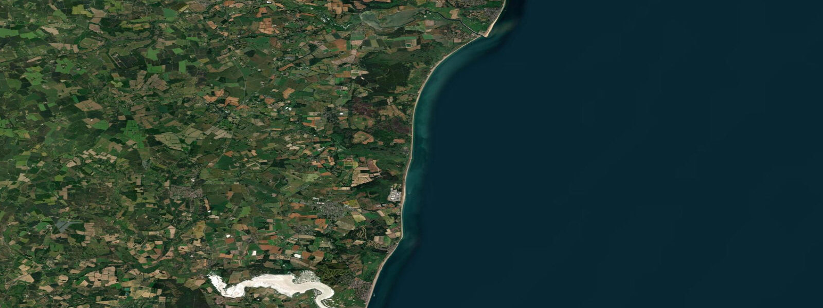
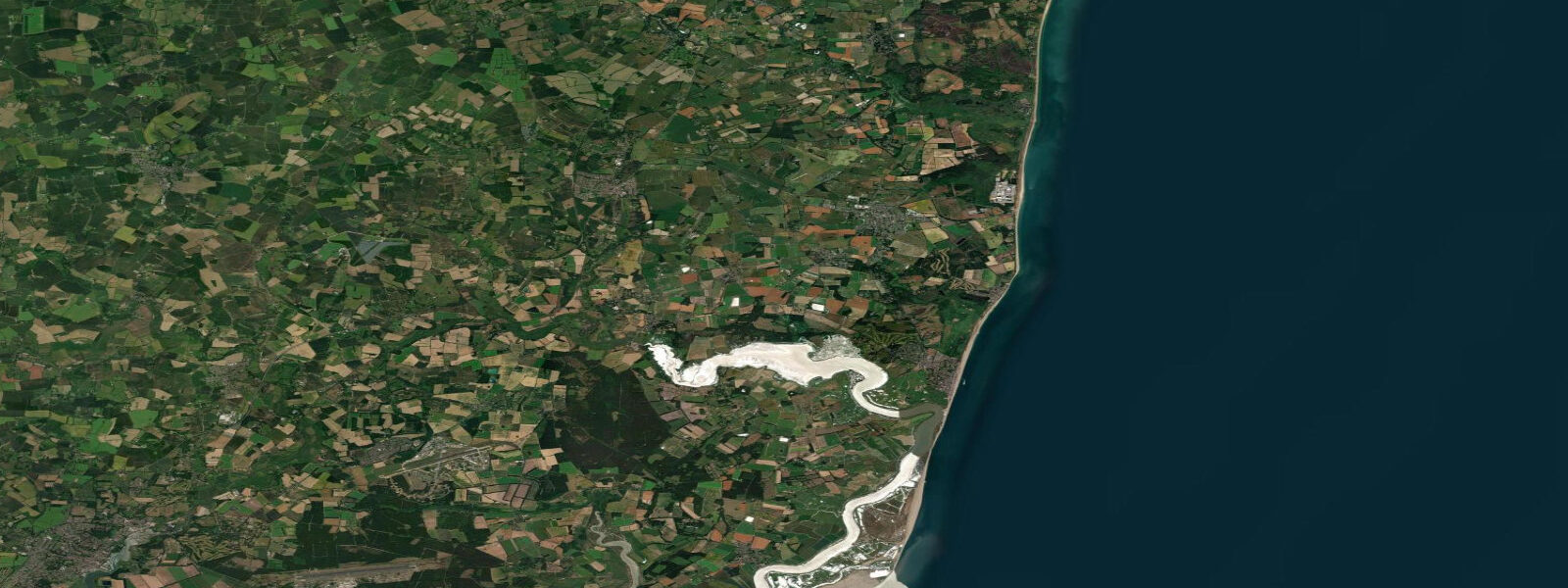
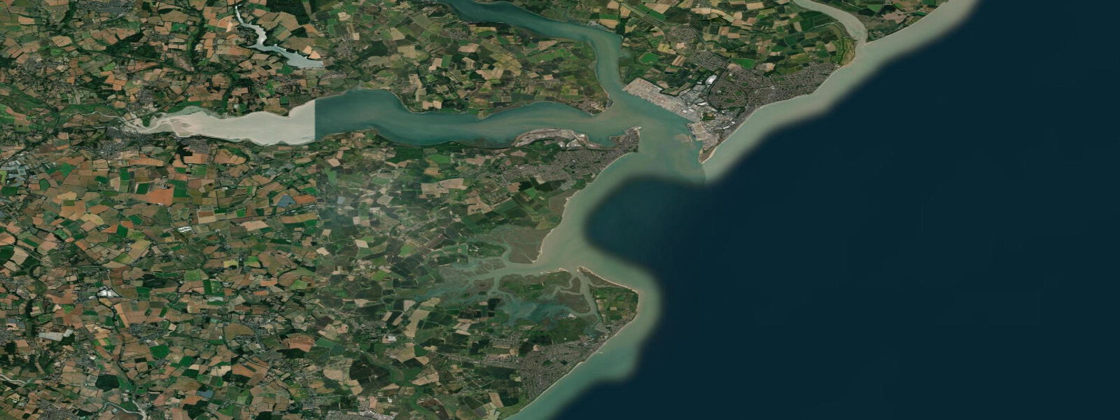
Southwold sits on a low promontory between the North Sea and the Blyth River estuary, seven kilometres north of Dunwich and 30 kilometres south of Lowestoft. The tidal regime is semidiurnal with a mean spring range of approximately 2.3 m above Chart Datum — classified as mesotidal, modest by North Sea standards. Low water at the beach face typically exposes 80 to 120 metres of firm sand; the harbour entrance on the Blyth sees a stronger tidal current as the estuary drains through a narrow channel.
The lighthouse stands on the High Street 36 metres above sea level — one of the few coastal lighthouses in England that sits inside a town centre rather than on a headland. Built in 1890 and still operational, it provides a bearing for vessels transiting the southern North Sea. The beach due east of the lighthouse is a working orientation point for anglers timing their wade to the sandbanks.
Sea anglers rate Southwold highly for bass and cod. Bass come in with the flood tide along the shingle runnels south of the pier from April through October, with the best runs at dusk and dawn in the first two hours of the flood. Cod show from late October through January; the beach to the north of the pier casts into deeper water at high tide. The pier itself — rebuilt and extended to 260 metres in 2001 — fishes well for pouting and the occasional thornback ray. Night fishing on spring tides in winter produces the most consistent cod catches.
The beach huts lining the front are among the most photographed in England: rows of pastel-painted timber cabins on the shingle berm. They let seasonally and have waiting lists years long. The beach is sandy-shingle in character, with firm sand exposed at low water and shingle banks higher up. Bathing conditions are generally safe but the rip near the pier's north side warrants caution at mid-tide on a flooding spring.
Harbour activity centres on the Blyth mouth. The ferry — a small rowing boat, manually hauled on a chain — crosses to Walberswick at the southern bank. It operates on daytime tide windows; a half-hour before low water the channel shallows to under a metre. Southwold Harbour has a small fleet of crab and lobster vessels; the day's catch is sold from the smoke sheds on the harbour bank, typically in the late morning after the boats return.
Adnams Brewery has brewed in Southwold since 1872; the brewery dominates the town's economy and its beer delivery drays still cross the market square. The Salt and Anchor pubs on the seafront function as informal debrief venues for anglers, paddlers, and surfers who've been in the water.
SUP and kayak paddling from the beach is practical from mid-flood to mid-ebb — the window when current in the Blyth channel is manageable. Launching into the surf at the beach face is straightforward at low water when the shore break is negligible. Crossing the harbour entrance requires care: the tidal flow in the channel runs to 2.5 knots on a spring ebb and the channel carries commercial traffic.
Tide predictions here come from Open-Meteo Marine (global gridded model, accuracy ±45 min / ±0.2–0.3 m above Chart Datum), cross-referenced with the EA Flood Monitoring network and the NTSLF Lowestoft gauge, approximately 30 km to the north. For authoritative predictions, the UK Hydrographic Office EasyTide service and Admiralty Tide Tables (Volume 1, NP201) are the definitive references.
Tide questions about Southwold
Quick answers to the most common questions about tide times, range, and water access at Southwold.
What is the tidal range at Southwold and what does it mean for the beach?
Southwold's mean spring tidal range is approximately 2.3 m above Chart Datum — mesotidal by North Sea classification. This is moderate by UK standards: at low water on a spring tide the sea retreats roughly 100 to 120 metres from the beach face, exposing firm sand suitable for walking and fishing. At high water, the sea reaches the base of the shingle berm and the beach narrows to a modest strip. Neap tides bring a smaller range of around 1.4 m, producing less dramatic exposure and a shallower gradient between high and low. The Blyth estuary immediately south of the pier experiences stronger tidal currents than the open beach — the constricted channel accelerates the ebb flow to around 2.5 knots on spring tides.
When is the best time to fish from Southwold Beach and pier?
Bass fishing on the beach south of the pier is best from April through October, targeting the first two hours of the flood tide at dusk and dawn — bass follow the flooding water up the shingle runnels feeding on sandeels and crab. The pier fishes well for pouting and occasional rays year-round, with high tide giving the greatest casting depth off the 260-metre structure. Winter cod (October through January) respond best to night sessions on spring flood tides from the beach north of the pier, where the water deepens quickly. Lugworm and peeler crab are the standard baits; mackerel strip works for bass in summer. Avoid the area immediately south of the pier entrance during high-water surges in northerly swells — the tidal race around the pier head creates unpredictable undertow.
Is the Southwold to Walberswick ferry affected by the tide?
Yes — the chain ferry crossing the Blyth estuary between Southwold Harbour and Walberswick is a shallow-draft rowing boat and is suspended during low-water periods when the channel drops below safe operating depth (typically 30 to 45 minutes either side of low water on spring tides). At peak ebb, currents in the narrows run to 2.5 knots and the crossing requires meaningful effort against the flow. The ferry operates daytime hours only; exact timings vary seasonally. If planning a walk to Walberswick, allow for the possibility that the ferry is not running around low water and factor in the 5 km road route via Blythburgh as the alternative.
Can I paddleboard or kayak from Southwold?
Paddleboarding and kayaking are both practical from the main beach or from the harbour. The open-beach launch is easiest at low water when the shore break is flat — launching into surf on the beach face at high tide in any swell is technically demanding. For harbour launches, be aware of the tidal current in the Blyth channel: a spring ebb running at 2.5 knots will carry an unpowered paddler toward the harbour mouth quickly. The recommended window is mid-flood to mid-ebb, when the current is building but controllable. Do not cross in front of vessel traffic in the navigation channel; fishing boats and small commercial vessels use the entrance regularly.
How accurate are the tide times shown for Southwold, and where can I get official predictions?
Tide predictions on this page are generated by Open-Meteo Marine, a global gridded ocean model. Typical accuracy is ±45 minutes for timing and ±0.2–0.3 m for heights above Chart Datum — suitable for planning beach visits and general activity scheduling. For safety-critical navigation, consult the UK Hydrographic Office EasyTide service (ukho.gov.uk) or Admiralty Tide Tables Volume 1 (NP201), which give precise predictions for the standard port of Lowestoft (the reference port for this section of coast). The National Tide and Sea Level Facility gauge at Lowestoft provides real-time observations. Always cross-check against UKHO / Admiralty charts before any navigational use.
8-day tide table — Southwold
Heights relative to MSL. Predictions: Open-Meteo Marine (MeteoFrance SMOC, 0.08° grid) — heights relative to MSL (not chart datum / LAT). Model-derived.
| Day | Type | Time | Height |
|---|---|---|---|
| Sun 21 Jun | Low | 01:00 | -0.3m / -1.0ft |
| High | 03:50 | 0.4m / 1.5ft | |
| Low | 09:24 | -1.0m / -3.1ft | |
| High | 15:38 | 0.5m / 1.7ft | |
| Low | 22:02 | -1.6m / -5.4ft | |
| Mon 22 Jun | High | 04:46 | 0.2m / 0.6ft |
| Low | 23:02 | -1.6m / -5.4ft | |
| Tue 23 Jun | High | 17:33 | 0.2m / 0.7ft |
| Low | 23:56 | -1.4m / -4.7ft | |
| Wed 24 Jun | High | 06:48 | 0.4m / 1.2ft |
| Low | 12:27 | -0.8m / -2.5ft | |
| High | 18:32 | 0.4m / 1.2ft | |
| Thu 25 Jun | Low | 00:56 | -1.3m / -4.3ft |
| High | 07:33 | 0.2m / 0.7ft | |
| Low | 13:21 | -1.1m / -3.5ft | |
| High | 19:45 | 0.2m / 0.7ft | |
| Fri 26 Jun | Low | 01:51 | -1.2m / -4.1ft |
| High | 08:26 | 0.1m / 0.5ft | |
| Low | 14:14 | -1.2m / -3.8ft | |
| High | 20:42 | 0.2m / 0.5ft | |
| Sat 27 Jun | Low | 02:39 | -1.3m / -4.1ft |
| High | 09:18 | 0.2m / 0.8ft | |
| Low | 15:03 | -1.1m / -3.6ft | |
| High | 21:33 | 0.2m / 0.8ft | |
| Sun 28 Jun | Low | 00:00 | -0.3m / -0.8ft |