Dunwich tide times
Dunwich tide forecast — heights relative to MSL.
Today's tide times for Dunwich
Tide times at Dunwich on Sunday, 21 June 2026: first low tide at 01:00, first high tide at 03:50, second low tide at 09:24, second high tide at 15:38, third low tide at 22:02. Sunrise 04:31, sunset 21:18.
Tide chart for Dunwich
24-hour cosine-interpolated curve around the present moment. Heights relative to MSL. Predictions: Predictions: Open-Meteo Marine (MeteoFrance SMOC, 0.08° grid).
Sun, moon and conditions on Sun 21 Jun
Snapshot at build time — refreshes daily. Sea state from Open-Meteo Marine.
Highs and lows next 7 days
Every predicted high and low for the next week, with the daily tidal coefficient (0–120; higher = bigger swing, > 95 means stronger currents).
Other spots nearby
The three closest curated TideTurtle locations to Dunwich, measured by great-circle distance.
Today's solunar windows
Solunar tradition: major periods are the ≈3h windows around moon transit and opposition; minor are ≈2h around moonrise and moonset. Pair with the local tide stage and wind for the best read.
Cycle dates near Dunwich
Last spring tide on Sun 21 Jun (range 2.2m / 7.1ft). Next neap on Thu 25 Jun.
Spring tides cluster around new and full moons (biggest swings). Neap tides land on quarter moons (smallest swings). See the spring tide and neap tide glossary entries for the why.
About tides at Dunwich
A short guide to the coastline at Dunwich — geography, sea state, and what the tide is actually doing under your feet.
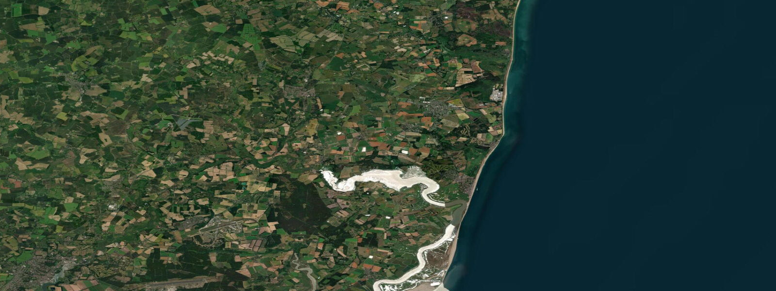
Dunwich is a hamlet of fewer than 200 people on the Suffolk coast between Southwold and Aldeburgh. It was, in the 12th century, one of the most significant ports in England — larger than Norwich, with a population estimated above 3,000, a minster church, two hospitals, three friaries, and a thriving North Sea trade network. The coast has taken almost all of it. Storms in 1286 and 1287 silted the harbour mouth and began the structural erosion of the sea wall and town cliffs. By the 17th century the central town had gone; by 1919 the last medieval church, All Saints, had collapsed onto the beach. The graveyard slides into the sea in chunks after every significant winter storm.
The erosion mechanism is simple and relentless: the cliffs are soft London Clay and Crag, without the chalk hardness of the north Kent coast. Wave action at high tide on storm surges undercuts the cliff base; the overhang collapses. The long-term retreat rate on this section of coast is 0.5 to 2 metres per year, accelerating in high storm-energy years. The North Sea has no natural barrier here — the offshore shelf is shallow and the fetch from the northeast is unobstructed from Denmark.
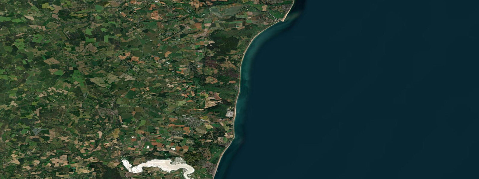
The tidal range at Dunwich is mesotidal, similar to Southwold: mean spring range approximately 2.3 m above Chart Datum. The tidal exposure here is beach rather than harbour — a long, straight stretch of shingle and sand between the car park south of the village and Dunwich Heath to the south. At low water, the beach face exposes firm sand extending 80 to 100 metres from the shingle berm. Dunwich Heath is a National Trust property: 240 hectares of heathland, wooded cliffs, and sea-views over the eroding shore.
The underwater town is the main draw. Divers and snorkellers reach it from the beach — the remains of the medieval churches and harbour walls lie in 8 to 12 metres of water on the sandy seabed roughly 400 metres offshore. The Dunwich Museum on the village street displays an extraordinary scale model of the medieval port alongside excavated artefacts. The archaeological record of what has been lost is more complete than what remains on land.
For anglers, the beach between Dunwich and Minsmere is one of the better remote bass marks on the Suffolk coast. There is no pier and no harbour; the long, undeveloped beach fishes clean. Bass follow the flood tide along the shingle runnels from April through October; the marks south of the village, toward the Minsmere outfall, are consistently productive in the first two hours of the incoming tide at dusk.
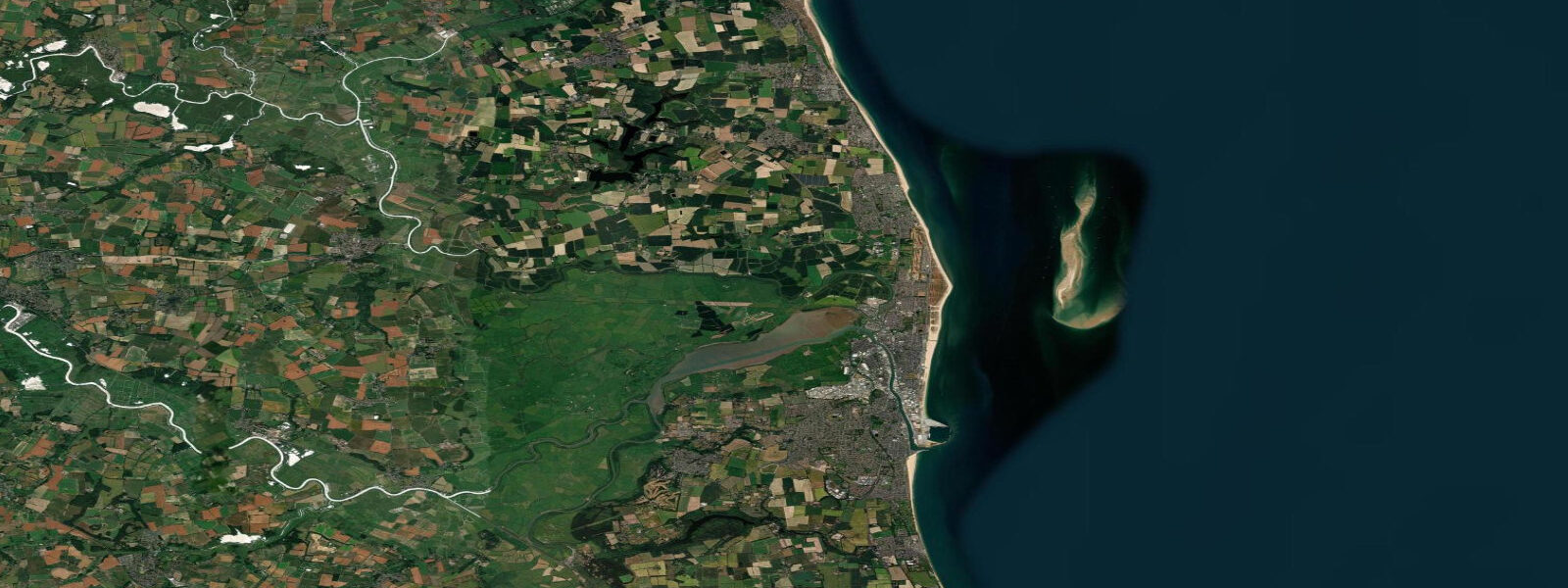
Minsmere RSPB Reserve is 2 km south, one of the most significant wetland bird reserves in the UK. The reserve manages water levels with sluice gates that respond to tidal patterns in the nearby sea — the freshwater reeds and saline-fringe habitats were specifically engineered to sit just above tidal influence. Avocets, bitterns, marsh harriers, and (in season) rare waders make Minsmere a justification for a full day on this coast.
Tide predictions here come from Open-Meteo Marine (±45 min / ±0.2–0.3 m above Chart Datum), cross-referenced with EA Flood Monitoring and the NTSLF Lowestoft gauge. For navigational purposes, consult the UK Hydrographic Office and Admiralty Tide Tables (NP201, Volume 1).
Tide questions about Dunwich
Quick answers to the most common questions about tide times, range, and water access at Dunwich.
What happened to the medieval city of Dunwich?
Dunwich was one of the major ports of 12th-century England, comparable in size to Norwich, with extensive trading connections across the North Sea. Storms in 1286 and 1287 blocked the harbour with shingle and began the systematic undermining of the town's sea defences. The harbour silted permanently; trade moved to Southwold and other ports. Erosion of the soft London Clay and Crag cliffs continued for the next 700 years. Churches, friaries, the guildhall, and the market square fell progressively into the sea; the last medieval church (All Saints) collapsed in 1919. The erosion is ongoing — the graveyard at the cliff edge still loses ground after significant storm events. The remains of the medieval port now lie in 8 to 12 m of water roughly 400 metres offshore.
Can I dive on the ruins of the sunken medieval town?
Yes — Dunwich is one of the most historically significant dive sites in the UK. The underwater remains of All Saints Church and other medieval structures sit in 8 to 12 m of water on a sandy seabed approximately 400 metres from the beach. Visibility is variable, typically 2 to 5 metres and improving in settled summer conditions after a period without strong onshore wind. The site has no formal dive restriction; shore-dives from the beach are straightforward in calm weather. The seabed in this area can carry a slight tidal current on spring ebbs — allow for this when planning the return swim. Contact the Dunwich Museum for site maps and historic context.
What is the tidal range at Dunwich and when is the beach at its widest?
Mean spring range at Dunwich is approximately 2.3 m above Chart Datum — mesotidal, on the moderate end of the Suffolk coast. The beach is at its widest 30 to 60 minutes after low water on spring tides, when the full foreshore is exposed: roughly 80 to 100 metres of firm sand from the shingle berm. This is the best window for walking the length of the beach, for launching kayaks or paddleboards without carrying gear through surf, and for accessing the lower shingle runnels that bass follow on the first of the flood. Neap tides reduce the exposure to around 50 to 60 metres and produce less strong tidal current.
Is Dunwich Beach good for fishing?
The beach south of Dunwich village toward Minsmere is one of the better undeveloped bass marks on the Suffolk coast — no harbour structures, no pier, no discharge points; just a clean shingle-and-sand shore fishing into open North Sea water. Bass are the main target from April through October, with peak activity on the first two hours of the flood tide at dusk and dawn. The marks near the Minsmere outfall (approximately 2 km south on foot along the beach) are consistently productive. Lugworm and peeler crab are the standard baits; sandeel lures work well for bass in summer. There are no facilities at the beach — walk in from the car park at Dunwich village.
How do I get to Minsmere RSPB Reserve from Dunwich?
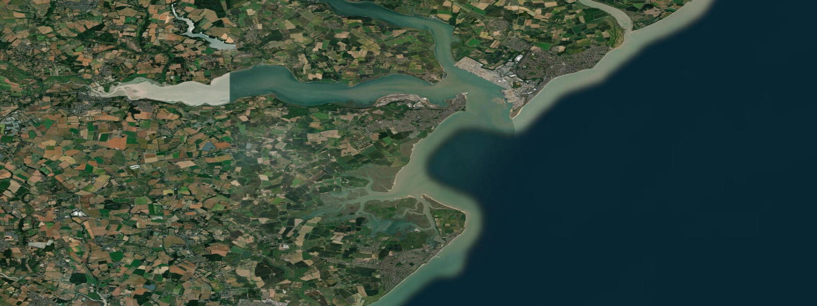
The most direct route from Dunwich is south along the beach at low to mid tide — approximately 2 km on firm sand and shingle with the dunes to the right. This route is only practical in the tidal window from low water plus 1 hour to low water plus 3 hours; at high water the sea reaches the dune base and the beach narrows to impassable in places. The inland alternative is via Dunwich Heath (National Trust car park) and the footpath network across the heath — about 3 km and passable in all tidal states. The Minsmere main entrance is from the B1122 near Westleton. For navigation in any coastal waterway near Minsmere, use UK Hydrographic Office resources and Admiralty Charts rather than model-based tide predictions.
8-day tide table — Dunwich
Heights relative to MSL. Predictions: Open-Meteo Marine (MeteoFrance SMOC, 0.08° grid) — heights relative to MSL (not chart datum / LAT). Model-derived.
| Day | Type | Time | Height |
|---|---|---|---|
| Sun 21 Jun | Low | 01:00 | -0.3m / -1.0ft |
| High | 03:50 | 0.4m / 1.5ft | |
| Low | 09:24 | -1.0m / -3.1ft | |
| High | 15:38 | 0.5m / 1.7ft | |
| Low | 22:02 | -1.6m / -5.4ft | |
| Mon 22 Jun | High | 04:46 | 0.2m / 0.6ft |
| Low | 23:02 | -1.6m / -5.4ft | |
| Tue 23 Jun | High | 17:33 | 0.2m / 0.7ft |
| Low | 23:56 | -1.4m / -4.7ft | |
| Wed 24 Jun | High | 06:48 | 0.4m / 1.2ft |
| Low | 12:27 | -0.8m / -2.5ft | |
| High | 18:32 | 0.4m / 1.2ft | |
| Thu 25 Jun | Low | 00:56 | -1.3m / -4.3ft |
| High | 07:33 | 0.2m / 0.7ft | |
| Low | 13:21 | -1.1m / -3.5ft | |
| High | 19:45 | 0.2m / 0.7ft | |
| Fri 26 Jun | Low | 01:51 | -1.2m / -4.1ft |
| High | 08:26 | 0.1m / 0.5ft | |
| Low | 14:14 | -1.2m / -3.8ft | |
| High | 20:42 | 0.2m / 0.5ft | |
| Sat 27 Jun | Low | 02:39 | -1.3m / -4.1ft |
| High | 09:18 | 0.2m / 0.8ft | |
| Low | 15:03 | -1.1m / -3.6ft | |
| High | 21:33 | 0.2m / 0.8ft | |
| Sun 28 Jun | Low | 00:00 | -0.3m / -0.8ft |