Sullom Voe tide times
Sullom Voe tide forecast — heights relative to MSL.
Today's tide times for Sullom Voe
Tide times at Sullom Voe on Saturday, 27 June 2026: first low tide at 01:43, first high tide at 07:48, second low tide at 13:55, second high tide at 20:06. Sunrise 03:37, sunset 22:37.
Tide chart for Sullom Voe
24-hour cosine-interpolated curve around the present moment. Heights relative to MSL. Predictions: Predictions: Open-Meteo Marine (MeteoFrance SMOC, 0.08° grid).
Sun, moon and conditions on Sat 27 Jun
Snapshot at build time — refreshes daily. Sea state from Open-Meteo Marine.
Highs and lows next 7 days
Every predicted high and low for the next week, with the daily tidal coefficient (0–120; higher = bigger swing, > 95 means stronger currents).
Other spots nearby
The three closest curated TideTurtle locations to Sullom Voe, measured by great-circle distance.
Today's solunar windows
Solunar tradition: major periods are the ≈3h windows around moon transit and opposition; minor are ≈2h around moonrise and moonset. Pair with the local tide stage and wind for the best read.
Cycle dates near Sullom Voe
Next spring tide on Wed 01 Jul (range 1.4m / 4.6ft). Next neap on Sun 28 Jun.
Spring tides cluster around new and full moons (biggest swings). Neap tides land on quarter moons (smallest swings). See the spring tide and neap tide glossary entries for the why.
About tides at Sullom Voe
A short guide to the coastline at Sullom Voe — geography, sea state, and what the tide is actually doing under your feet.
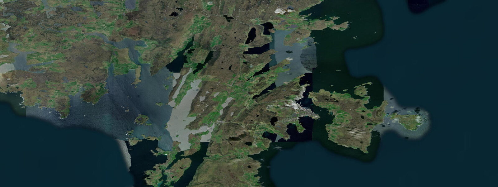
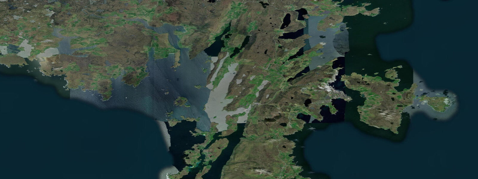
Sullom Voe is a deep fjord-like inlet on the north Mainland of Shetland, cutting south from the north coast between the peninsulas of Northmaven to the west and Delting to the east. It is the largest voe in Shetland — 15 kilometres long and up to 2 kilometres wide, with a maximum depth of 30 metres. The spring tidal range inside the voe is 1.6 metres above Chart Datum, slightly larger than Lerwick and Scalloway due to the voe's more open northern exposure. Tidal streams at the entrance to the voe, where it narrows between Gluss Isle and the mainland, run at 2 to 3 knots at springs — the most energetic water in the immediate area.
Sullom Voe Terminal, opened in 1978, was Europe's largest oil and gas terminal when constructed. It handles production from the Brent and Ninian oil fields and other North Sea fields via two 160-kilometre underwater pipelines from the East Shetland Basin. At peak production in the 1980s, supertankers of 400,000 tonnes deadweight loaded here; the scale of the infrastructure remains extraordinary even at reduced throughputs. The terminal is a controlled area and not publicly accessible, but the approach road along the east shore from Brae gives clear views of the jetties, the flare stacks, and any tankers alongside. This industrial seascape, set against the Shetland moorland and the water of the voe, has a stark visual quality unlike anything else on the British coast.
The voe itself, away from the terminal, supports significant wildlife. Eider ducks are present in numbers year-round, particularly in the shallower northern sections where the shellfish beds sustain large flocks through winter. Long-tailed ducks winter in the voe from October through April, sometimes in flocks of several hundred diving in the deeper central channel — they are among the most striking winter duck species in the UK and Sullom Voe is one of the most reliable British locations to see them in numbers. Red-throated divers nest on the lochs of the Northmaven peninsula to the west and are frequently seen on the voe surface. Great northern divers appear in late autumn and winter.
Otters use the voe edges extensively. The kelp at the voe margins is rich in the small fish that form most of the Shetland otter's marine diet — butterfish and eelpout in particular. The northern sections of the voe, away from the tanker approaches, give the quietest conditions for wildlife observation. Low water exposes the rocky shelves most effectively; a systematic walk of the voe margins at neap low tide is the most productive approach. Mornings are quieter than afternoons; approach the shoreline from downwind where the terrain allows.
The road north from Brae through the Delting peninsula gives access to the east shore of the voe. Brae is the service community for the oil terminal — a functional village with a leisure centre, supermarket, and accommodation that serves both the oil industry and visiting hill walkers. The village of Toft at the northern end of the Mainland is the ferry point for the crossing to Ulsta on Yell, the middle island of the north Shetland chain; the crossing takes 20 minutes and runs frequently.
Small-boat fishing in the voe is most productive for saithe (coalfish), pollock, and mackerel from summer onward. The entrance area in the deeper water holds ling and cod in autumn and winter on pirks and rubber eels. The voe's sheltered water makes it navigable in most weather conditions that would close the exposed north coast. The large tankers in the southern section create wash and wake hazards; small craft must stay well clear of tanker movements. The Shetland port authority publishes tanker arrival and departure schedules that small-boat users should check before setting out.
Tidal predictions here use the Open-Meteo Marine gridded model (±45 minutes on timing, ±0.3 m on height). Not for navigation.
Tide questions about Sullom Voe
Quick answers to the most common questions about tide times, range, and water access at Sullom Voe.
What is the tidal range and current at Sullom Voe?
Mean spring tidal range inside Sullom Voe is 1.6 metres above Chart Datum — modest, consistent with the wider Shetland pattern of small range but significant currents. Tidal streams at the voe entrance between Gluss Isle and the north Mainland run at 2 to 3 knots at springs. Inside the voe the streams slow to 0.5 to 1.0 knot in most areas. The northern section near the oil terminal is subject to additional water movement from tanker propulsion wash; small craft should maintain a substantial distance from any vessel movements in the southern half of the voe.
Can I visit the Sullom Voe oil terminal?
The Sullom Voe Terminal is a working industrial facility and is not open to public access. The terminal site on the south shore of the voe is security-fenced; access requires authorization from the operator (TAQA). The approach road along the east shore of the voe from Brae provides clear views of the terminal infrastructure, the loading jetties, and any tankers alongside. The terminal's history — Europe's largest oil terminal when it opened in 1978, handling production from the Brent and Ninian fields — is documented in the Shetland Museum in Lerwick.
What seabirds and waterbirds can I see at Sullom Voe?
Sullom Voe is one of the most productive bird-watching locations in Shetland. Eider ducks are present year-round in the shallower northern sections. Long-tailed ducks winter in the voe from October through April, sometimes in flocks of several hundred diving in the central channel. Red-throated divers are regular on the voe surface, nesting on inland lochs to the west. Great northern divers appear from late autumn. The northern voe margins and the Northmaven shore opposite the terminal are the quietest areas; access is easiest on the east shore road from Brae. October through March is the peak period for the rarer diver species.
Where can I see otters at Sullom Voe?
The voe margins north of the oil terminal are reliable otter habitat. The kelp beds exposed at low water are rich in butterfish, eelpout, and small rocklings that make up most of the Shetland marine otter's diet. The rocky northern sections of the east shore road give good vantage points over the kelp at low tide. Low neap tides expose the most kelp and concentrate the otters' feeding activity into the most accessible zone. Dawn and the first two hours after low water are the best times. Binoculars are necessary — otters blend into the brown kelp effectively at any distance.
Is there fishing at Sullom Voe and what can I catch?
Small-boat fishing in Sullom Voe produces saithe (coalfish), pollock, and mackerel from June through October on lures and feathers. The entrance area and the deeper water off the Gluss Isle approaches hold ling and cod from autumn onward on pirks and rubber eels. The voe's sheltered water makes it accessible in weather that prevents fishing on the exposed north coast of Shetland. Shore fishing from the rocky east bank produces pollock and wrasse on lures and bait. Small boats must check Shetland port authority schedules for tanker movements and keep clear of the terminal approach lanes.
7-day tide table — Sullom Voe
Heights relative to MSL. Predictions: Open-Meteo Marine (MeteoFrance SMOC, 0.08° grid) — heights relative to MSL (not chart datum / LAT). Model-derived.
| Day | Type | Time | Height |
|---|---|---|---|
| Sat 27 Jun | Low | 01:43 | -0.9m / -3.0ft |
| High | 07:48 | 0.0m / 0.1ft | |
| Low | 13:55 | -0.8m / -2.7ft | |
| High | 20:06 | 0.2m / 0.7ft | |
| Sun 28 Jun | Low | 14:34 | -0.9m / -2.8ft |
| High | 20:40 | 0.3m / 0.9ft | |
| Mon 29 Jun | Low | 03:02 | -0.9m / -2.9ft |
| High | 09:02 | 0.2m / 0.7ft | |
| Low | 15:11 | -0.9m / -2.9ft | |
| High | 21:15 | 0.3m / 0.9ft | |
| Tue 30 Jun | Low | 03:42 | -1.0m / -3.4ft |
| High | 09:40 | 0.1m / 0.2ft | |
| Low | 15:38 | -1.0m / -3.3ft | |
| High | 21:46 | 0.3m / 0.8ft | |
| Wed 01 Jul | Low | 04:12 | -1.1m / -3.6ft |
| High | 10:13 | 0.0m / 0.1ft | |
| Low | 16:03 | -1.0m / -3.4ft | |
| High | 22:22 | 0.3m / 1.0ft | |
| Thu 02 Jul | Low | 04:47 | -1.1m / -3.6ft |
| High | 10:45 | 0.0m / 0.1ft | |
| Low | 16:38 | -1.1m / -3.4ft | |
| High | 22:54 | 0.3m / 0.9ft | |
| Fri 03 Jul | Low | 05:20 | -1.2m / -3.8ft |
| High | 11:17 | -0.0m / -0.1ft | |
| Low | 17:07 | -1.1m / -3.5ft |