Stromness tide times
Stromness tide forecast — heights relative to MSL.
Today's tide times for Stromness
Tide times at Stromness on Saturday, 27 June 2026: first low tide at 01:00, first high tide at 07:16, second low tide at 13:21, second high tide at 19:37. Sunrise 04:02, sunset 22:29.
Tide chart for Stromness
24-hour cosine-interpolated curve around the present moment. Heights relative to MSL. Predictions: Predictions: Open-Meteo Marine (MeteoFrance SMOC, 0.08° grid).
Sun, moon and conditions on Sat 27 Jun
Snapshot at build time — refreshes daily. Sea state from Open-Meteo Marine.
Highs and lows next 7 days
Every predicted high and low for the next week, with the daily tidal coefficient (0–120; higher = bigger swing, > 95 means stronger currents).
Other spots nearby
The three closest curated TideTurtle locations to Stromness, measured by great-circle distance.
Today's solunar windows
Solunar tradition: major periods are the ≈3h windows around moon transit and opposition; minor are ≈2h around moonrise and moonset. Pair with the local tide stage and wind for the best read.
Cycle dates near Stromness
Next spring tide on Fri 03 Jul (range 2.7m / 9.0ft). Last neap on Sat 27 Jun.
Spring tides cluster around new and full moons (biggest swings). Neap tides land on quarter moons (smallest swings). See the spring tide and neap tide glossary entries for the why.
About tides at Stromness
A short guide to the coastline at Stromness — geography, sea state, and what the tide is actually doing under your feet.
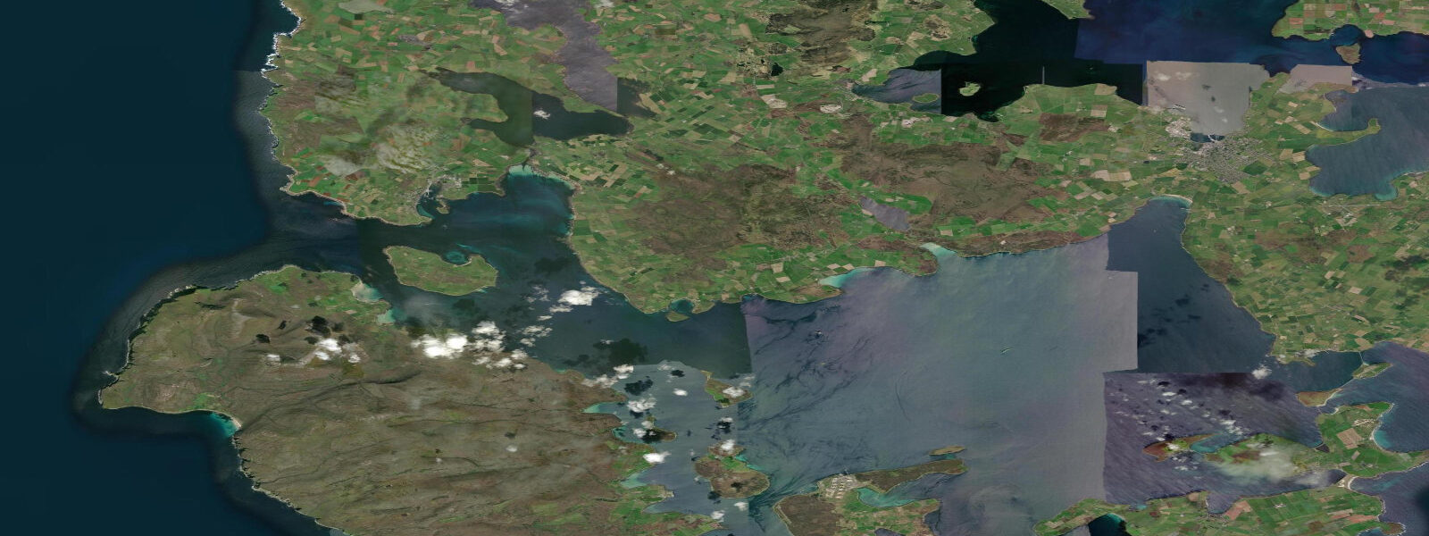
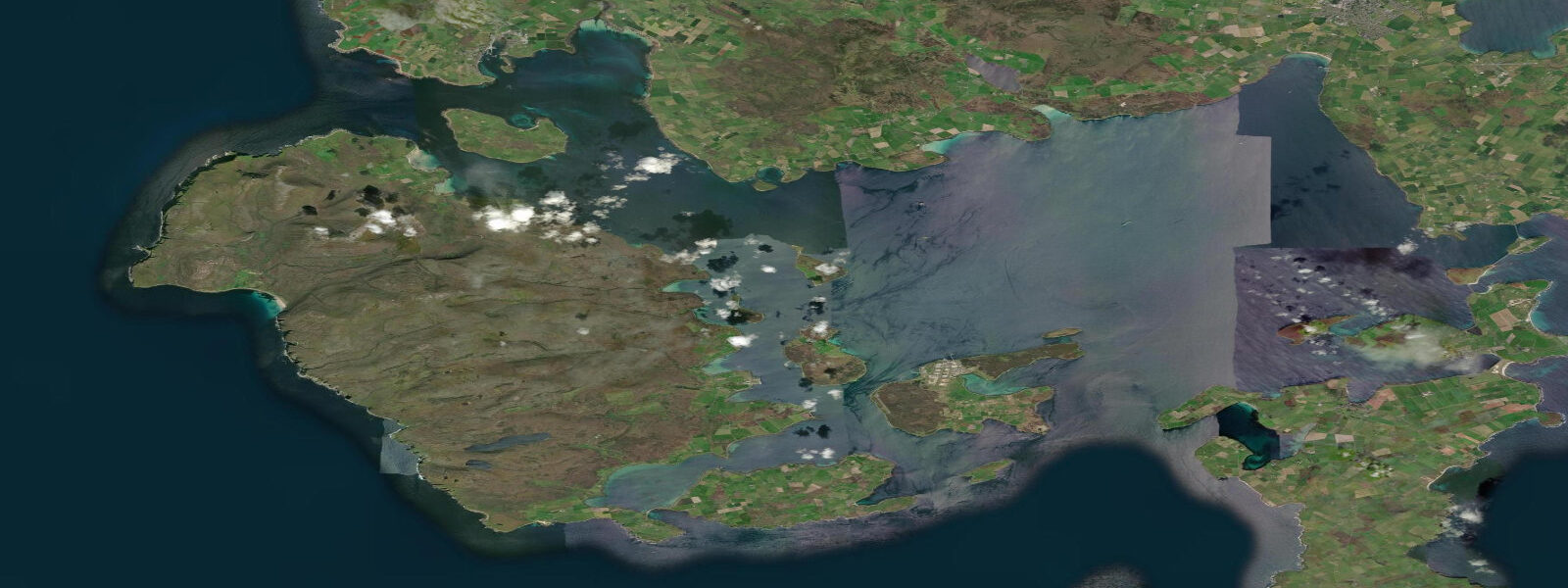
Stromness is Orkney's second town and one of the most distinctive harbour settlements in Scotland. Built along a single narrow flagstone street that winds for a kilometre behind the waterfront, the town rises steeply into the Orkney Mainland hills behind it. Every house on the main street has a stone pier or jetty projecting into the harbour — a practical legacy from when the street was as much a marine highway as a pedestrian one. The spring tidal range at Stromness is 3.5 metres above Chart Datum, but the town faces south into Scapa Flow, and Hoy Sound — the passage between the Mainland and the island of Hoy immediately to the south — runs at 3 to 4 knots on spring tides.
Scapa Flow is the natural anchorage that lies between Stromness, Kirkwall, and the islands of Hoy, South Ronaldsay, and Burray. It covers roughly 300 square kilometres of sheltered water and served as the British Grand Fleet's main base in both World Wars. In June 1919, the German High Seas Fleet — 74 warships interned at Scapa Flow after the Armistice — was scuttled on the orders of Admiral Ludwig von Reuter. Seven warships remain on the seabed today and together they constitute one of the world's premier wreck diving destinations. Dive charter boats operate from Stromness harbour, with the wrecks of the battleships König, Kronprinz Wilhelm, and Markgraf accessible to experienced divers, alongside the lighter cruiser wrecks which are shallower.
The Hoy Sound approach from the west is one of Orkney's most significant tidal passages. The stream floods north through the Sound, then reverses on the ebb, driving 3 to 4 knots through a channel roughly 3 kilometres wide between the Hoy cliffs and the Stromness shore. The pilot cutter at Stromness manages shipping traffic; visiting yachts time their passage to avoid the stream or use it to accelerate through. The race off Black Craig point to the north of Stromness is significant in westerly swell combined with opposing tidal flow.
The ferry to Scrabster on the Scottish mainland runs from Stromness and takes 90 minutes. This NorthLink Ferries service crosses the Pentland Firth, one of the most hydrologically demanding stretches of water around Britain — the ferry is well found and powerful, but the crossing is rough when wind and tide run against each other. The Pentland Firth tidal stream runs at up to 16 knots in the narrowest section; the ferry uses the eastern passage where the flow is more manageable.
Fishing from Stromness is mostly from boats. Coalfish and pollock school around the kelp beds on the south side of Hoy Sound; cod and haddock are taken in deeper water west of the town. Shore fishing from the breakwater and the town piers produces pollock, coalfish, mackerel, and wrasse from summer onward. The sandy bay at Warbeth, 1.5 kilometres west of the ferry terminal along the shore road, offers flatfish — plaice and flounder — in the shallows on the incoming tide.
The Stromness Museum on Alfred Street covers the natural history and maritime history of Orkney with a focus on local connection. The Hudson's Bay Company recruited Orcadian men extensively through the 18th and 19th centuries for its fur-trading posts in Canada — the town had a direct relationship with the Canadian Arctic, and many Stromness families have Canadian relatives descended from men who never returned. The annual Stromness Shopping Week festival in July is the town's main community gathering, filling the flagstone street with stalls and events.
Tidal predictions here use the Open-Meteo Marine gridded model (±45 minutes on timing, ±0.3 m on height). Not for navigation.
Tide questions about Stromness
Quick answers to the most common questions about tide times, range, and water access at Stromness.
What are the tidal streams like in Hoy Sound near Stromness?
Hoy Sound, the passage between the Orkney Mainland and Hoy immediately south of Stromness, runs at 3 to 4 knots at spring tides. The stream floods northward through the Sound and reverses on the ebb. The race off Black Craig point north of Stromness is significant in westerly swell, combining with tidal flow to produce rough water for small craft. Visiting yachts time their passage to use the favourable stream or transit at slack water. The ferry to Scrabster runs through the eastern part of the Sound and is powerful enough to work against the stream.
How do I dive on the Scapa Flow German fleet wrecks?
Seven German warships from the 1919 scuttling lie on the Scapa Flow seabed and are accessible to recreational divers. Dive charter boats operate from Stromness harbour; booking ahead is essential in summer. The upright battleships König, Kronprinz Wilhelm, and Markgraf lie in 35 to 45 metres — these are advanced or technical dives. The cruiser wrecks are shallower. All wrecks are protected as war graves under the Protection of Military Remains Act; penetration diving is not permitted. Orkney Dive Festival in autumn offers guided wreck packages with accommodation.
What is the Scrabster ferry crossing like from Stromness?
The NorthLink Ferries Hamnavoe service sails from Stromness to Scrabster in 90 minutes. The route crosses the Pentland Firth, which has tidal streams up to 16 knots in its narrowest section — one of the most powerful tidal races in the world. The ferry uses the eastern passage where the flow is more moderate, and the vessel is large and stable. In strong westerly winds against a south-running ebb, the crossing can be rough even for the ferry. Check Northlink's real-time crossing conditions updates before booking if sea conditions are a concern.
Where can I fish near Stromness?
The breakwater and town piers produce pollock, coalfish, mackerel, and wrasse from June through October. Warbeth Bay, 1.5 kilometres west along the shore road, is a sandy bay where flatfish — flounder and plaice — are found in the shallows on the flood tide. Boat fishing produces cod, haddock, and ling in deeper water west of Hoy Sound. Coalfish school around the Hoy kelp beds from August onward and can be taken on lures from small boats. The rock marks south of the ferry terminal along the Scapa Flow shoreline produce wrasse on crab and ragworm baits.
What is the best time to photograph Stromness?
The town faces southwest across the water, making it photogenic in morning light from the water side and in evening golden hour from the hills above. The flagstone main street is best photographed on overcast days when the stonework texture reads clearly without harsh shadows. Ferries entering and leaving the harbour give scale to the waterfront at any state of tide. Winter gives low, warm light even at midday; aurora borealis is visible from the hills above town on clear, dark nights from September through March. The harbour at low water exposes the stone piers and jetties projecting from the houses — a distinctively Orcadian composition.
7-day tide table — Stromness
Heights relative to MSL. Predictions: Open-Meteo Marine (MeteoFrance SMOC, 0.08° grid) — heights relative to MSL (not chart datum / LAT). Model-derived.
| Day | Type | Time | Height |
|---|---|---|---|
| Sat 27 Jun | Low | 01:00 | -1.3m / -4.2ft |
| High | 07:16 | 0.5m / 1.7ft | |
| Low | 13:21 | -1.1m / -3.8ft | |
| High | 19:37 | 0.8m / 2.7ft | |
| Sun 28 Jun | Low | 01:51 | -1.2m / -3.9ft |
| High | 07:58 | 0.7m / 2.4ft | |
| Low | 14:05 | -1.2m / -4.0ft | |
| High | 20:16 | 0.9m / 2.9ft | |
| Mon 29 Jun | Low | 02:28 | -1.3m / -4.1ft |
| High | 08:34 | 0.8m / 2.7ft | |
| Low | 14:45 | -1.3m / -4.4ft | |
| High | 20:52 | 0.8m / 2.7ft | |
| Tue 30 Jun | Low | 03:08 | -1.6m / -5.2ft |
| High | 09:18 | 0.6m / 2.1ft | |
| Low | 15:15 | -1.5m / -4.8ft | |
| High | 21:27 | 0.9m / 2.9ft | |
| Wed 01 Jul | Low | 03:45 | -1.6m / -5.3ft |
| High | 09:54 | 0.6m / 2.1ft | |
| Low | 15:49 | -1.5m / -4.9ft | |
| High | 22:04 | 1.0m / 3.1ft | |
| Thu 02 Jul | Low | 04:21 | -1.7m / -5.4ft |
| High | 10:32 | 0.6m / 2.0ft | |
| Low | 16:22 | -1.5m / -5.0ft | |
| High | 22:38 | 0.9m / 2.9ft | |
| Fri 03 Jul | Low | 04:57 | -1.8m / -5.8ft |
| High | 11:09 | 0.5m / 1.5ft | |
| Low | 16:52 | -1.5m / -4.9ft | |
| High | 23:17 | 1.0m / 3.2ft |