Kirkwall tide times
Kirkwall tide forecast — heights relative to MSL.
Today's tide times for Kirkwall
Tide times at Kirkwall on Tuesday, 4 August 2026: first high tide at 01:00, first low tide at 07:07, second high tide at 13:48, second low tide at 19:08. Sunrise 05:03, sunset 21:30.
Tide chart for Kirkwall
24-hour cosine-interpolated curve around the present moment. Heights relative to MSL. Predictions: Predictions: Open-Meteo Marine (MeteoFrance SMOC, 0.08° grid).
Sun, moon and conditions on Tue 04 Aug
Snapshot at build time — refreshes daily. Sea state from Open-Meteo Marine.
Highs and lows next 7 days
Every predicted high and low for the next week, with the daily tidal coefficient (0–120; higher = bigger swing, > 95 means stronger currents).
Other spots nearby
The three closest curated TideTurtle locations to Kirkwall, measured by great-circle distance.
Today's solunar windows
Solunar tradition: major periods are the ≈3h windows around moon transit and opposition; minor are ≈2h around moonrise and moonset. Pair with the local tide stage and wind for the best read.
Cycle dates near Kirkwall
Last spring tide on Tue 04 Aug (range 2.0m / 6.4ft). Next neap on Fri 07 Aug.
Spring tides cluster around new and full moons (biggest swings). Neap tides land on quarter moons (smallest swings). See the spring tide and neap tide glossary entries for the why.
About tides at Kirkwall
A short guide to the coastline at Kirkwall — geography, sea state, and what the tide is actually doing under your feet.
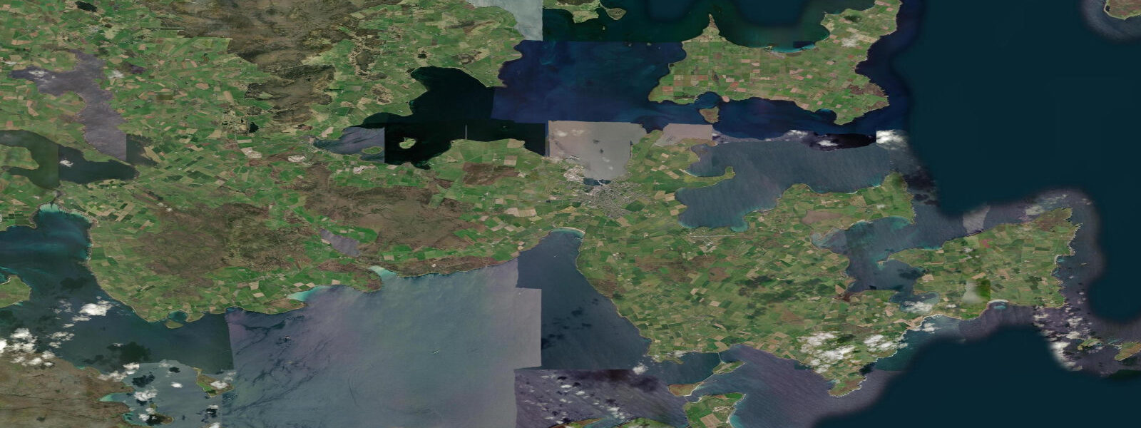
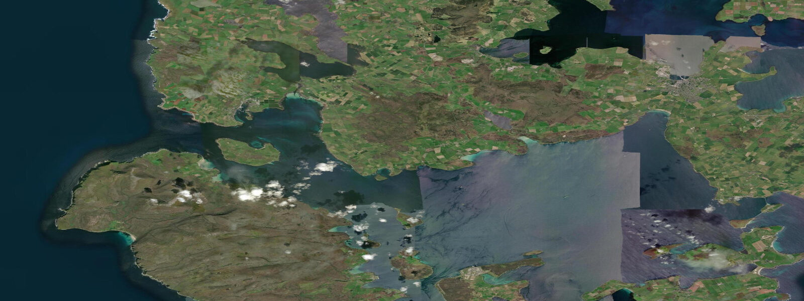
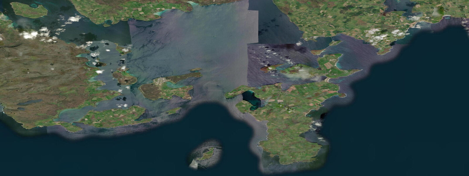
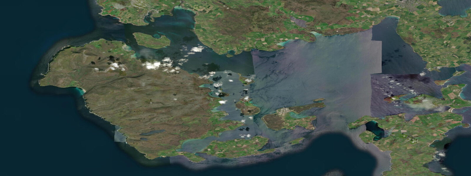
Kirkwall is the capital and main town of Orkney, sitting on a narrow isthmus on the Mainland island with the Wide Firth opening to the north and Scapa Flow to the south. The spring tidal range at Kirkwall reaches 3.5 metres above Chart Datum — moderate by British standards, but the sounds and channels surrounding the Mainland islands run with streams of 2 to 3 knots at springs, driven by the tidal gradient between the North Atlantic to the north and the North Sea to the south. The bay immediately in front of Kirkwall is sheltered, but Shapinsay Sound to the northeast pushes 2.5-knot streams past the ferry terminal on every tide.
The town is dominated by St Magnus Cathedral, built from red and yellow Orkney sandstone and begun in 1137 by Earl Rognvald Kolsson in memory of his murdered uncle, Magnus. It is the most complete Romanesque cathedral in Scotland and still an active Church of Scotland place of worship. The Cathedral sits at the head of the main street; the Earl's Palace and Bishop's Palace ruins face it across the road — three medieval buildings within 100 metres of each other, none behind glass, all free to enter the grounds. Kirkwall is a proper working town, not a heritage site with a population attached.
The ferry terminal at Kirkwall is the hub for the Orkney inter-island network. Ferries to Shapinsay (45 minutes), Stronsay, Sanday, Westray, Papa Westray, and Eday all depart from or near this terminal. The NorthLink Ferries service to Aberdeen runs overnight, 6 hours. Tidal state at the terminal matters for the inter-island boats; stream direction through Shapinsay Sound affects departure scheduling for the smaller vessels. The airport 3 kilometres south runs inter-island flights including the 2-minute Westray to Papa Westray service, sometimes cited as the world's shortest scheduled airline route.
Anglers fish the bay from the pier and from the rocks north of town. Coalfish (saithe), pollock, and mackerel are taken on feathers and lures from summer through autumn; the bay holds good numbers of coalfish in August and September when they chase whitebait inshore. Wrasse work the kelp-covered rocks on either side of the bay. Flatfish — plaice and flounder — are present in the sandy shallows on the north side of the bay. Shore crabbing for edible crabs is productive at low water in the rocky sections east of the pier.
Eider ducks are the most visible wildlife in Kirkwall Bay year-round. They nest on the Orkney islands in good numbers and the males' distinctive resonant cooing call is the background sound of the waterfront from April through June. Greylag geese graze the fields immediately inland. The Wide Firth to the north, seen from the Kirkwall waterfront at low water, is a flat tidal plain with a sand channel running through it — photographically stark, particularly in the low winter light when the sky takes on the dark blue characteristic of Orkney winters.
The Ba — a mass football match played on Christmas Day and New Year's Day between the Uppies (those born above the Cathedral) and the Doonies (those born below) — uses the town's streets as its pitch. The game has been played for centuries, has no fixed end time, can involve hundreds of players, and can last from noon until dark. It is one of the few surviving examples of traditional mass street football in Britain and draws crowds of spectators who line the route without knowing where the play will go.
Tidal predictions here use the Open-Meteo Marine gridded model (±45 minutes on timing, ±0.3 m on height). Not for navigation.
Tide questions about Kirkwall
Quick answers to the most common questions about tide times, range, and water access at Kirkwall.
What is the tidal range at Kirkwall?
Kirkwall has a mean spring tidal range of 3.5 metres above Chart Datum. Neap range drops to 1.8 metres. The range is moderate — less dramatic than the Morecambe Bay or Severn coasts — but the tidal streams through the surrounding sounds are significant. Shapinsay Sound, 2 kilometres northeast of Kirkwall, runs at 2.5 knots at springs. The bay in front of Kirkwall itself is relatively sheltered and streams are mild, making the harbour one of the calmer mooring locations in the Orkney Mainland.
What ferries operate from Kirkwall?
Kirkwall is the hub for Orkney Ferries inter-island services. Regular sailings connect to Shapinsay (45 minutes), Stronsay, Sanday, Westray, Papa Westray, Eday, and Rousay from the Kirkwall ferry terminal. The NorthLink Ferries overnight service to Aberdeen takes 6 hours and runs most nights of the week, departing in the late evening and arriving in Aberdeen in the early morning. Orkney Ferries timetables are set partly around tidal conditions in the inter-island sounds; check the Orkney Ferries website for live schedules. Pentland Ferries and NorthLink both provide alternative mainland links from Stromness to the west.
What fish can I catch from Kirkwall harbour?
Kirkwall Bay produces coalfish, pollock, mackerel, wrasse, plaice, and flounder. Coalfish and mackerel are most abundant from July through October — the pier and the rocks north of the bay are the main marks, with feathers and lures producing results from first light. Wrasse take crab and ragworm from the kelp-covered rock sections east of the pier. Flatfish are present in the sandy shallows year-round. The Wide Firth to the north holds plaice on its sandy bottom, accessible from the shore or small boat at slack water.
What is the best time to visit Kirkwall for daylight and tidal conditions?
Orkney at 59° North has extremely long summer days — nearly 18 hours of daylight in June — and very short winter days. Summer (June through August) gives the most flexibility for walking, cycling, and outdoor access, but winter offers dramatic low-angle light and the chance of aurora borealis in clear conditions. Tidal conditions do not vary significantly by season; the 3.5-metre spring range is consistent year-round. For fishing, late summer through autumn produces the best coalfish and mackerel numbers in the bay.
Are there guided tours to the Orkney islands accessible from Kirkwall?
Kirkwall is the base for day trips to Orkney's outer islands. Rousay (the Egypt of the North for archaeology) is reached by ferry from Tingwall, 20 minutes by road from Kirkwall. Westray and Papa Westray offer Neolithic sites and seabird colonies. Several operators run minibus and boat day trips from Kirkwall to Skara Brae, the Ring of Brodgar, and Maeshowe. The inter-island planes from Kirkwall Airport connect to Westray and Papa Westray on what is sometimes described as the world's shortest scheduled air service — 2 minutes between the two islands.
8-day tide table — Kirkwall
Heights relative to MSL. Predictions: Open-Meteo Marine (MeteoFrance SMOC, 0.08° grid) — heights relative to MSL (not chart datum / LAT). Model-derived.
| Day | Type | Time | Height |
|---|---|---|---|
| Tue 04 Aug | High | 01:00 | 0.6m / 1.9ft |
| Low | 07:07 | -1.4m / -4.5ft | |
| High | 13:48 | 0.3m / 1.0ft | |
| Low | 19:08 | -1.0m / -3.3ft | |
| Wed 05 Aug | High | 01:45 | 0.5m / 1.8ft |
| Low | 07:46 | -1.2m / -3.9ft | |
| High | 14:27 | 0.3m / 0.9ft | |
| Low | 19:58 | -0.9m / -3.1ft | |
| Thu 06 Aug | High | 02:25 | 0.3m / 1.1ft |
| Fri 07 Aug | Low | 09:25 | -0.9m / -3.0ft |
| High | 17:34 | 0.1m / 0.5ft | |
| Low | 22:04 | -0.7m / -2.2ft | |
| Sat 08 Aug | High | 18:54 | 0.4m / 1.3ft |
| Sun 09 Aug | Low | 01:02 | -0.6m / -2.0ft |
| High | 07:32 | 0.5m / 1.7ft | |
| Low | 13:42 | -0.7m / -2.3ft | |
| High | 19:55 | 0.6m / 1.9ft | |
| Mon 10 Aug | Low | 02:13 | -1.0m / -3.1ft |
| High | 08:35 | 0.6m / 1.9ft | |
| Low | 14:37 | -0.9m / -3.0ft | |
| High | 20:48 | 0.7m / 2.2ft | |
| Tue 11 Aug | Low | 00:00 | -0.7m / -2.2ft |