Portrush tide times
Portrush tide forecast — heights relative to MSL.
Today's tide times for Portrush
Tide times at Portrush on Friday, 19 June 2026: first high tide at 01:00, first low tide at 15:43, second high tide at 22:58. Sunrise 04:45, sunset 22:10.
Tide chart for Portrush
24-hour cosine-interpolated curve around the present moment. Heights relative to MSL. Predictions: Predictions: Open-Meteo Marine (MeteoFrance SMOC, 0.08° grid).
Sun, moon and conditions on Fri 19 Jun
Snapshot at build time — refreshes daily. Sea state from Open-Meteo Marine.
Highs and lows next 7 days
Every predicted high and low for the next week, with the daily tidal coefficient (0–120; higher = bigger swing, > 95 means stronger currents).
Other spots nearby
The three closest curated TideTurtle locations to Portrush, measured by great-circle distance.

Today's solunar windows
Solunar tradition: major periods are the ≈3h windows around moon transit and opposition; minor are ≈2h around moonrise and moonset. Pair with the local tide stage and wind for the best read.
Cycle dates near Portrush
Last spring tide on Fri 19 Jun (range 1.5m / 4.9ft). Next neap on Sun 21 Jun.
Spring tides cluster around new and full moons (biggest swings). Neap tides land on quarter moons (smallest swings). See the spring tide and neap tide glossary entries for the why.
About tides at Portrush
A short guide to the coastline at Portrush — geography, sea state, and what the tide is actually doing under your feet.
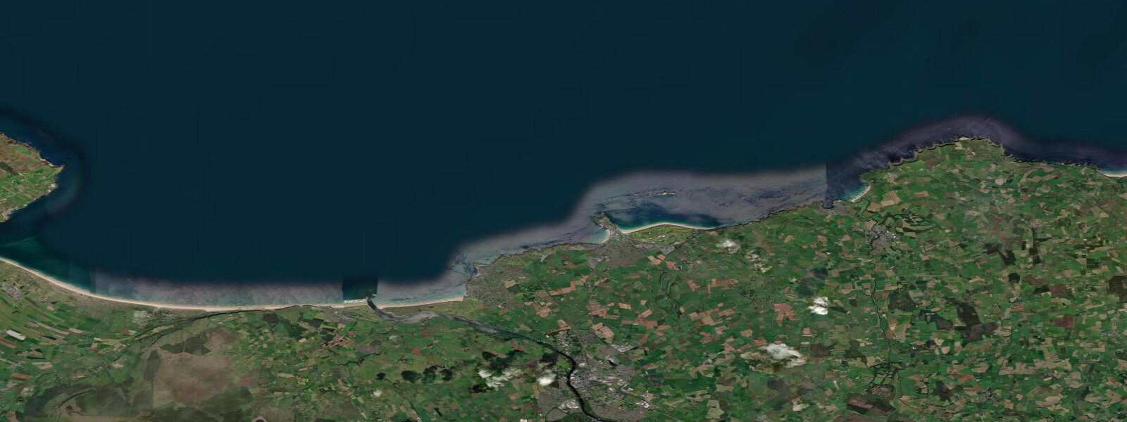
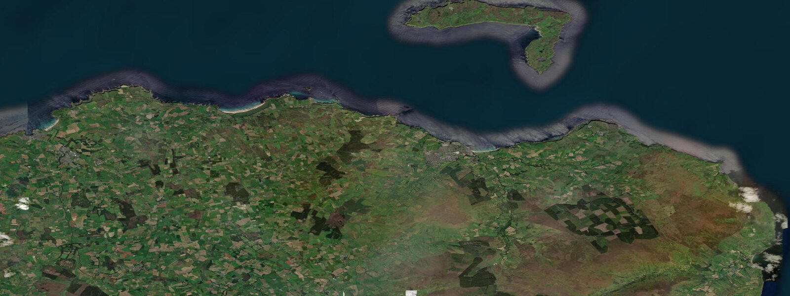
Portrush is on the Antrim coast of Northern Ireland, facing north into the North Atlantic. The town occupies a small headland between East Strand and West Strand, with the Giant's Causeway 10 kilometres to the east and Rathlin Island visible offshore. The tidal character here is Atlantic: mean spring range around 1.6 metres, neaps dropping to about 1.0 m. The range is relatively modest, but the Atlantic exposure means swell size and storm surge can dominate water level changes more than the tide.
East Strand picks up the most consistent surf in Northern Ireland. The beach faces northeast, which catches North Atlantic groundswell from December through March when storms track across the North Atlantic to Scotland and northern England. Wave height on good winter swells runs 4 to 8 feet; summer is generally smaller and less consistent. The beach break has several peaks that shift with sand movement after storms; the quality varies but at its best Portrush East Strand produces clean shoulder-high waves accessible to intermediate surfers. Whiterocks Bay, 3 km east of the town, is more exposed and handles larger swell better.
The Causeway Coast as a whole is one of the most dramatic cliff-top walks in the British Isles. The section from Portrush to the Giant's Causeway follows cliff tops above basalt columns, sea stacks, and caves. The walk is 16 km one way and can be done in sections. The Carrick-a-Rede rope bridge (13 km east of Portrush) crosses a 20-metre chasm to a salmon island — operating historically as a salmon fisherman's crossing, now a National Trust attraction. The crossing is tide-independent.
Ballantine fishing — hand-lining for pollock, mackerel, and wrasse from the harbour piers — is the traditional recreation at Portrush. Charter boats run from the harbour for offshore angling on the Antrim coast reefs, targeting coalfish, cod, and haddock in season. The Skerries, a reef complex 3 km north of the town, holds good fish populations.
The town has the infrastructure for the Open Championship golf tournament (Royal Portrush hosted the 2019 Open), which has brought significant hospitality development. July is the busiest month by far — accommodation books out months in advance in tournament years.
Tide predictions on this page come from Open-Meteo Marine, a gridded global ocean model, cross-referenced with UK Environment Agency gauge data. For the most accurate local predictions, consult the UK National Tide Gauge Network via CEFAS or the UKHO's EasyTide service.
Tide questions about Portrush
Quick answers to the most common questions about tide times, range, and water access at Portrush.
What is the tidal range at Portrush?
Portrush has a modest Atlantic tidal range — mean spring range about 1.6 metres, neap range around 1.0 m. The small range means tide timing has less effect on beach access than on macrotidal coasts like Wales or Devon. Atlantic swell size and storm surge from North Atlantic depressions influence water levels at least as much as the astronomical tide at this exposed location.
Is there surf at Portrush?
East Strand at Portrush is one of the most consistent surf beaches in Northern Ireland. North Atlantic groundswell arrives from December through March on the back of storms tracking toward Scotland. Good days see 4 to 8 foot beach break peaks across the strand. Whiterocks Bay, 3 km east, handles larger swell more cleanly. Summer surf is inconsistent but can fire on NW swells. Portrush Surf School operates from East Strand with lessons and rental boards.
How far is the Giant's Causeway from Portrush?
The Giant's Causeway National Nature Reserve (UNESCO World Heritage Site) is 10 km east of Portrush — about 20 minutes by car or 3 to 4 hours by the Causeway Coast Way footpath along the cliffs. The basalt hexagonal columns are most impressive at low tide when the lower platform is accessible. The National Trust visitor centre has parking and interprets the geology. Book timed entry for the car park in summer — it reaches capacity by 10 a.m. on good weather days.
Can I sea fish from Portrush harbour?
Yes — hand-lining for pollock, mackerel, and wrasse from the harbour walls is a long-standing tradition. Charter boats also run from the harbour for reef fishing on the Antrim coast grounds: coalfish, cod, whiting, and haddock. The Skerries reef complex north of the town holds good pollock populations. No licence is required for sea fishing in Northern Ireland; charter boat operators handle all necessary permits for their trips.
When did Portrush host The Open Championship?
Royal Portrush hosted The Open Championship in 1951 and again in 2019 — the first Open in Northern Ireland since 1951. The 2019 event was won by Shane Lowry. Royal Portrush is consistently ranked among the top links courses in the world. The town's hospitality infrastructure expanded significantly ahead of the 2019 event. The next hosting is not confirmed but Portrush is on the Open rota for future tournaments.
7-day tide table — Portrush
Heights relative to MSL. Predictions: Open-Meteo Marine (MeteoFrance SMOC, 0.08° grid) — heights relative to MSL (not chart datum / LAT). Model-derived.
| Day | Type | Time | Height |
|---|---|---|---|
| Fri 19 Jun | High | 01:00 | -0.1m / -0.2ft |
| Low | 15:43 | -0.9m / -3.0ft | |
| High | 22:58 | 0.6m / 1.8ft | |
| Sat 20 Jun | Low | 16:39 | -0.9m / -3.1ft |
| Sun 21 Jun | High | 00:00 | 0.2m / 0.8ft |
| Low | 06:45 | -0.9m / -3.0ft | |
| High | 12:38 | -0.4m / -1.3ft | |
| Low | 17:26 | -0.9m / -3.0ft | |
| Mon 22 Jun | High | 01:35 | 0.2m / 0.6ft |
| Low | 07:54 | -0.7m / -2.2ft | |
| High | 14:36 | -0.2m / -0.6ft | |
| Low | 18:50 | -0.6m / -1.9ft | |
| Tue 23 Jun | High | 03:00 | 0.2m / 0.7ft |
| Low | 09:18 | -0.6m / -1.8ft | |
| High | 15:40 | -0.1m / -0.5ft | |
| Low | 20:16 | -0.7m / -2.2ft | |
| Wed 24 Jun | High | 04:18 | 0.0m / 0.1ft |
| Low | 09:42 | -0.7m / -2.2ft | |
| Thu 25 Jun | High | 05:15 | 0.1m / 0.3ft |
| Low | 10:21 | -0.6m / -1.9ft | |
| High | 17:52 | 0.2m / 0.7ft | |
| Low | 22:38 | -0.5m / -1.6ft |