Mablethorpe tide times
Mablethorpe tide forecast — heights relative to MSL.
Today's tide times for Mablethorpe
Tide times at Mablethorpe on Sunday, 21 June 2026: first high tide at 01:00, first low tide at 04:57, second high tide at 10:53, second low tide at 17:35, third high tide at 23:46. Sunrise 04:30, sunset 21:30.
Tide chart for Mablethorpe
24-hour cosine-interpolated curve around the present moment. Heights relative to MSL. Predictions: Predictions: Open-Meteo Marine (MeteoFrance SMOC, 0.08° grid).
Sun, moon and conditions on Sun 21 Jun
Snapshot at build time — refreshes daily. Sea state from Open-Meteo Marine.
Highs and lows next 7 days
Every predicted high and low for the next week, with the daily tidal coefficient (0–120; higher = bigger swing, > 95 means stronger currents).
Other spots nearby
The three closest curated TideTurtle locations to Mablethorpe, measured by great-circle distance.
Today's solunar windows
Solunar tradition: major periods are the ≈3h windows around moon transit and opposition; minor are ≈2h around moonrise and moonset. Pair with the local tide stage and wind for the best read.
Cycle dates near Mablethorpe
Last spring tide on Sun 21 Jun (range 4.8m / 15.8ft). Next spring tide on Sat 27 Jun (range 3.7m / 12.2ft). Next neap on Thu 25 Jun.
Spring tides cluster around new and full moons (biggest swings). Neap tides land on quarter moons (smallest swings). See the spring tide and neap tide glossary entries for the why.
About tides at Mablethorpe
A short guide to the coastline at Mablethorpe — geography, sea state, and what the tide is actually doing under your feet.
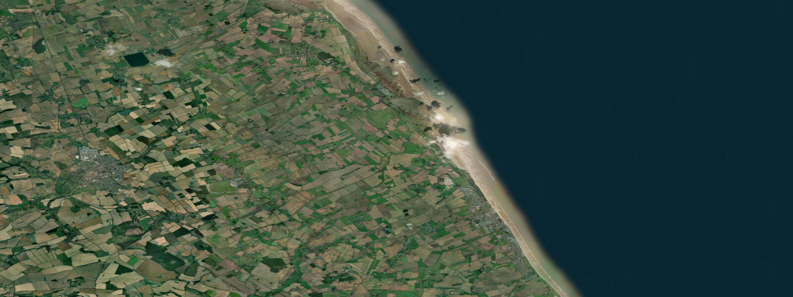
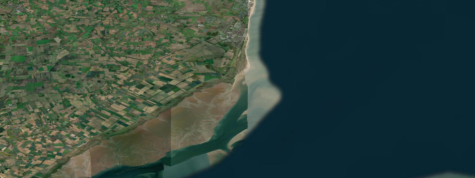
Mablethorpe is a small North Lincolnshire resort town between Cleethorpes and Skegness, sitting behind low sand dunes on a coast that faces northeast into the North Sea. The tidal range here is macrotidal: mean spring range approximately 4.0 m above Chart Datum. The offshore shelf gradient is very shallow — the seabed drops slowly eastward — and at low water on a spring tide the sea retreats 300 to 400 metres from the dune base, leaving a wide, flat, empty beach of fine sand.
Mablethorpe's character is quieter and less developed than Skegness. The beach is wider proportionally per visitor: the town draws a loyal East Midlands following but has fewer attractions than its neighbour to the south, which gives the foreshore more breathing room in peak season. The sand dunes backing the beach are managed for coastal protection; the dune system absorbs wave energy and acts as the primary sea defence for the low-lying land behind.
The beach is predominantly fine sand — better quality underfoot than many Lincolnshire shores — and is used heavily for walking and, in summer, for swimming and sandcastle work. The wide foreshore at low tide is firm enough for cycling; the Mablethorpe to Sutton on Sea beach route (7 km south) is a popular low-tide cycle track with the sea far to the east and the dunes to the west. Timing is critical: this ride is only practical from around low water plus 30 minutes to low water plus 3 hours; at high water the sea reaches the dune base in places.
Sea angling is a consistent draw. The beach north of Mablethorpe toward Trusthorpe and south toward Sutton on Sea fishes dab, flounder, and codling through the year. The beach produces best on the flood tide, with the period from half-ebb to high water the standard targeting window for dab and flounder on lugworm. Codling arrive from October and peak in November and December on night spring tides. Bass are caught in summer on the flood from the gullies that form in the sand banks at mid-tide.
The sand bank structure changes seasonally — winter storms redistribute the offshore bars and shift the depth profile, altering where the fishing is productive and how the surf breaks. Experienced local anglers check the bank structure at low water before committing to a mark. The same bank observation is relevant for swimmers: deeper gullies between sand banks can have localized current — stay within the swimming area flags where lifeguards operate in the summer season.
The 1953 North Sea storm surge is etched into this coastline's civic memory as much as on the rest of the Lincolnshire coast. The dune system was breached in multiple places; Mablethorpe town was inundated. Post-1953 coastal defences include reinforced sea banks and a beach management programme that periodically replenishes the dune face with imported sand from offshore dredge surveys.
Tide predictions here come from Open-Meteo Marine (±45 min / ±0.2–0.3 m above Chart Datum), cross-referenced with EA Flood Monitoring and the NTSLF network. For authoritative local predictions, consult the UK Hydrographic Office EasyTide service and Admiralty Tide Tables (NP201, Volume 1).
Tide questions about Mablethorpe
Quick answers to the most common questions about tide times, range, and water access at Mablethorpe.
What is the tidal range at Mablethorpe and how does it affect the beach?
Mablethorpe's mean spring tidal range is approximately 4.0 m above Chart Datum. On a spring low tide the sea retreats 300 to 400 metres from the dune base, leaving a broad, flat expanse of fine sand — one of the widest foreshore exposures on the Lincolnshire coast. Neap range drops to around 2.5 m, giving a smaller but still significant beach. The shallow offshore gradient means the transition from low-water sand to standing depth for swimming is gradual: even at mid-tide, the sea is quite shallow for 50 to 100 metres from the shoreline, which makes conditions accessible for families but requires some walk to reach swimming depth.
Can I cycle on the beach at Mablethorpe?
Yes — the firm sand from Mablethorpe south to Sutton on Sea (approximately 7 km) is used as an informal low-tide cycle route. The sand firms well after the tide retreats and is rideable on standard road or hybrid tyres in dry conditions. The practical window is approximately 30 minutes after low water to 3 hours after low water — after that the sand becomes progressively wetter and softer as the flood begins, and within 4 to 5 hours of low water the sea returns to the dune base at high springs. Plan the ride out at the start of the window and return before the flood gains pace.
What fish can I catch from Mablethorpe Beach?
Mablethorpe produces consistent flatfish — dab and flounder year-round, plaice from April through June. The best flatfish window is from half-ebb to high water on the flood tide, with lugworm as the primary bait. Codling arrive in October and peak in November and December on night spring tides, particularly from the deeper gullies between the sand banks. Bass come in from June and are caught on summer evenings on the flood tide over the outer sand banks. The beach north toward Trusthorpe and south toward Sutton on Sea are both productive; scout the sand bank structure at low water before selecting a mark.
Is Mablethorpe safe for swimming?
Swimming is safe within the designated bathing water area, where RNLI lifeguards patrol during the summer season (typically May through September). The shallow offshore gradient and fine sand make the conditions gentle — wave action at Mablethorpe is generally smaller than on more exposed coasts. The main hazard is the sand bank gullies that form offshore; these create localized current channels at mid-tide that can carry swimmers laterally. Stay within the flagged area, respect red flags which signal unsafe conditions, and be aware that the swim out to meaningful depth can require walking a significant distance at low tide.
Where can I get authoritative tide times for navigation near Mablethorpe?
Predictions on this page are generated by Open-Meteo Marine (accuracy ±45 min / ±0.2–0.3 m above Chart Datum) — appropriate for beach planning. For any navigational use in the inshore waters off Mablethorpe or in the approaches to the Humber and The Wash, use the UK Hydrographic Office EasyTide service and Admiralty Tide Tables (NP201, Volume 1). The standard port for this section of coast is Immingham (to the north) or Boston (to the south); secondary port corrections for Mablethorpe are published in the Admiralty tables. The Environment Agency Flood Monitoring network provides real-time gauge data for this coast.
7-day tide table — Mablethorpe
Heights relative to MSL. Predictions: Open-Meteo Marine (MeteoFrance SMOC, 0.08° grid) — heights relative to MSL (not chart datum / LAT). Model-derived.
| Day | Type | Time | Height |
|---|---|---|---|
| Sun 21 Jun | High | 01:00 | 0.6m / 1.8ft |
| Low | 04:57 | -2.3m / -7.4ft | |
| High | 10:53 | 1.9m / 6.3ft | |
| Low | 17:35 | -2.9m / -9.5ft | |
| High | 23:46 | 1.2m / 4.0ft | |
| Mon 22 Jun | Low | 05:44 | -2.1m / -7.0ft |
| High | 11:49 | 1.6m / 5.4ft | |
| Low | 18:27 | -2.8m / -9.1ft | |
| Tue 23 Jun | High | 00:49 | 1.1m / 3.6ft |
| Low | 06:42 | -1.9m / -6.4ft | |
| High | 12:54 | 1.3m / 4.3ft | |
| Low | 19:15 | -2.4m / -7.8ft | |
| Wed 24 Jun | High | 01:53 | 1.3m / 4.3ft |
| Low | 07:45 | -1.6m / -5.2ft | |
| High | 13:57 | 1.4m / 4.7ft | |
| Low | 20:18 | -2.2m / -7.1ft | |
| Thu 25 Jun | High | 02:45 | 1.2m / 3.9ft |
| Low | 08:44 | -1.9m / -6.1ft | |
| High | 15:03 | 1.3m / 4.1ft | |
| Low | 21:14 | -2.1m / -6.9ft | |
| Fri 26 Jun | High | 03:40 | 1.2m / 4.1ft |
| Low | 09:42 | -2.0m / -6.7ft | |
| High | 16:00 | 1.3m / 4.3ft | |
| Low | 22:08 | -2.1m / -7.0ft | |
| Sat 27 Jun | High | 04:31 | 1.4m / 4.7ft |
| Low | 10:39 | -2.1m / -6.7ft | |
| High | 16:47 | 1.5m / 4.9ft | |
| Low | 22:57 | -2.2m / -7.3ft |