Ventnor tide times
Ventnor tide forecast — heights relative to MSL.
Today's tide times for Ventnor
Tide times at Ventnor on Saturday, 27 June 2026: first high tide at 01:00, first low tide at 03:03, second high tide at 10:07, second low tide at 15:14, third high tide at 22:32. Sunrise 04:54, sunset 21:21.
Tide chart for Ventnor
24-hour cosine-interpolated curve around the present moment. Heights relative to MSL. Predictions: Predictions: Open-Meteo Marine (MeteoFrance SMOC, 0.08° grid).
Sun, moon and conditions on Sat 27 Jun
Snapshot at build time — refreshes daily. Sea state from Open-Meteo Marine.
Highs and lows next 7 days
Every predicted high and low for the next week, with the daily tidal coefficient (0–120; higher = bigger swing, > 95 means stronger currents).
Other spots nearby
The three closest curated TideTurtle locations to Ventnor, measured by great-circle distance.
Today's solunar windows
Solunar tradition: major periods are the ≈3h windows around moon transit and opposition; minor are ≈2h around moonrise and moonset. Pair with the local tide stage and wind for the best read.
Cycle dates near Ventnor
Next spring tide on Fri 03 Jul (range 2.3m / 7.5ft). Last neap on Sat 27 Jun.
Spring tides cluster around new and full moons (biggest swings). Neap tides land on quarter moons (smallest swings). See the spring tide and neap tide glossary entries for the why.
About tides at Ventnor
A short guide to the coastline at Ventnor — geography, sea state, and what the tide is actually doing under your feet.
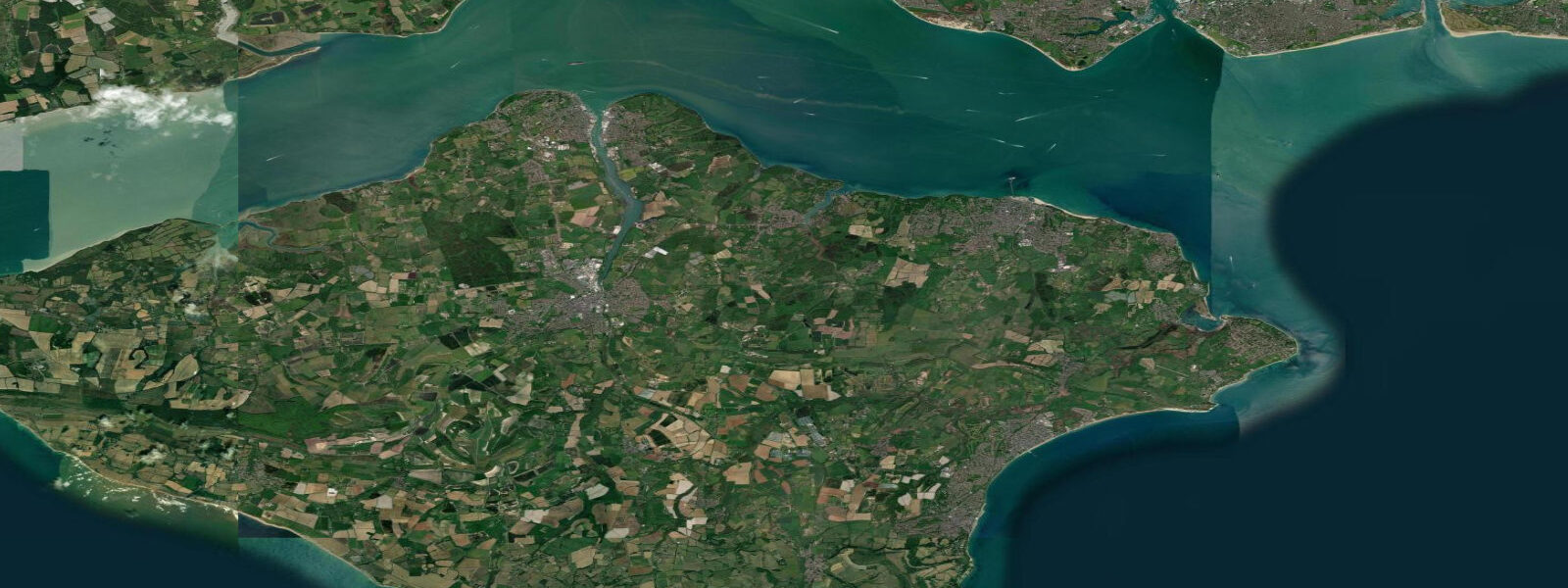
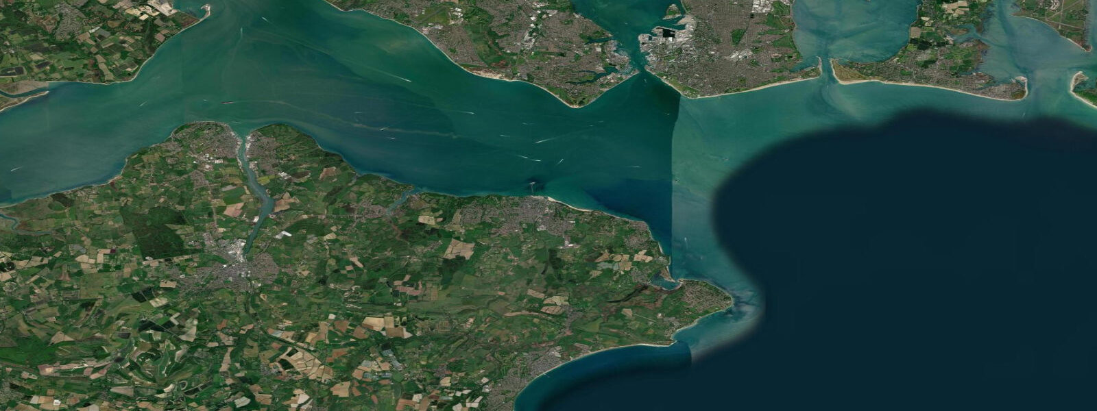
Ventnor sits on the south coast of the Isle of Wight, terraced into the cliff face of St Boniface Down — the island's highest point at 241 m — and facing directly south into the English Channel. It is in all practical respects a different tidal world from the Solent coast 10 km to the north. The double high water that defines Ryde, Cowes, and the eastern Solent does not reach Ventnor's south-facing shore. Here the regime is a clean single high water, semidiurnal, with a spring range of approximately 2.8 m — roughly half the Solent's 4.5 m and among the smaller ranges on the English south coast.
The geological context at Ventnor is as important as the tidal regime. The town sits on the Undercliff, an ancient and ongoing landslip zone — a mass of displaced material, 12 km long and up to 1 km wide, that has slid southward off the main chalk and greensand cliffs above. The Undercliff creates a sheltered microclimate with notably mild winters; the average January temperature at Ventnor is higher than anywhere else in the UK apart from the Scilly Isles. The vegetation is correspondingly lush: palms grow in the Ventnor Botanic Garden, which occupies the site of the former Royal National Hospital. The landslip is still active — roads on the Undercliff close periodically after particularly wet winters as the ground moves.
Ventnor Haven, the town's small harbour, is a drying harbour used primarily by fishing boats. At low spring water it is bare rock and shingle; the entrance dries to approximately 0.5 m below Chart Datum. Fishing vessels leave on the rising tide and return before the ebb cuts access. The harbour is built into a natural cleft in the cliff, with a concrete breakwater on the east side providing protection from the prevailing southwest swell. The fishing is primarily lobster and crab; the boats work the reef ground off the south coast of the island in summer and the Channel grounds in autumn.
The beach at Ventnor — a combination of sand and shingle in front of the esplanade — is the town's primary visitor draw. At spring low water the beach exposes a reasonable strip of sand suitable for families; at high water the upper beach narrows and the sea washes against the sea wall. The south-facing aspect means the beach receives full sun from mid-morning through late afternoon in summer — one of the sunniest orientations on the IoW. The water quality in the Channel at Ventnor is consistently good, with the tidal flushing of the open Channel preventing the localised water quality issues that can affect semi-enclosed inlets.
For divers, the offshore reefs south of Ventnor offer some of the best recreational diving on the IoW south coast. The chalk and limestone reef system runs in ridges and gullies to depths of 15–25 m; visibility on a calm flood tide can reach 8–12 m. Lobster, conger eel, and large ballan wrasse inhabit the gully systems. Dive charter boats operate from Ventnor Haven on the flood tide; the entrance depth limits departures to the upper half of the tidal range.
Walkers using the South West Coast Path equivalent on the IoW — the Isle of Wight Coastal Path — reach Ventnor from the east via Bonchurch village and the Bonchurch landslip, one of the most dramatic sections of the island's coastline walk. The cliff path west from Ventnor toward Blackgang Chine follows the Undercliff above the beach, giving views over the Channel that on clear days extend to France 75 km to the south.
All tide predictions for Ventnor come from the Open-Meteo Marine gridded model. Timing accuracy is ±45 minutes; height accuracy is ±0.3 m above Chart Datum.
Tide questions about Ventnor
Quick answers to the most common questions about tide times, range, and water access at Ventnor.
Does Ventnor have the same double high water as the rest of the Isle of Wight?
No. The double high water is a feature of the eastern Solent and affects the north and east coasts of the IoW — Ryde, Cowes, and the harbours facing the Solent. Ventnor's south coast faces the open English Channel and receives a clean single high water, semidiurnal. The spring range at Ventnor is approximately 2.8 m, compared to 4.5 m at Ryde. The difference arises because the double-HW phenomenon is produced by the convergence of the Solent tidal system, which does not extend around the south coast of the island.
What is the Undercliff and does it affect access to Ventnor beach?
The Undercliff is an ancient landslip zone 12 km long below the main south face of the IoW chalk downs. The material is still in slow movement — the A3055 road along the Undercliff closes periodically after wet winters when the ground shifts. The landslip creates Ventnor's famously mild microclimate (highest average January temperatures in the UK outside the Scilly Isles). For beach access, the Undercliff is generally stable enough for regular use; check local IoW council travel advisories before driving the coastal road west of Ventnor if travelling after a very wet period.
Can fishing boats use Ventnor Haven year-round?
Ventnor Haven is a drying harbour — it dries completely at low spring water. Fishing vessels enter and leave on the upper half of the tidal range, when the harbour has sufficient water over the rock and shingle bottom. The entrance dries to approximately 0.5 m below Chart Datum. In practice the harbour is used by working lobster and crab boats whose skippers know the tidal window precisely; visitors in keeled vessels should not attempt entry below mid-tide. The southwest-facing concrete breakwater provides useful protection but heavy Channel swells can make the entrance dangerous.
Is Ventnor suitable for diving and where are the best sites?
The offshore reefs south of Ventnor are among the better recreational dive sites on the IoW. Chalk and limestone ridges at 15–25 m depth hold lobster, conger eel, and large wrasse. Visibility on a calm incoming flood tide reaches 8–12 m. Dive charter boats from Ventnor Haven operate on the flood; the drying harbour entrance limits departure to the upper half of the tidal range. The Atherfield Ledge 5 km southwest of Ventnor is a notable wreck and reef dive; the tidal stream runs 1–2 knots through the ledge area and dives are planned for slack water.
What is the best walk from Ventnor along the coast?
East from Ventnor toward Bonchurch village (1 km) takes in the Bonchurch landslip — a dramatic section of fallen cliff with subtropical vegetation and seabird nesting on the chalk outcrops above. The IoW Coastal Path continues east toward St Catherine's Point, the island's southern tip, passing through Niton and the lighthouse (5 km from Ventnor). West from Ventnor the Undercliff path runs toward Blackgang Chine (5 km); sections close periodically when the ground is unstable. On a clear day from St Boniface Down above the town, the French coast is visible 75 km south.
8-day tide table — Ventnor
Heights relative to MSL. Predictions: Open-Meteo Marine (MeteoFrance SMOC, 0.08° grid) — heights relative to MSL (not chart datum / LAT). Model-derived.
| Day | Type | Time | Height |
|---|---|---|---|
| Sat 27 Jun | High | 01:00 | -0.7m / -2.4ft |
| Low | 03:03 | -1.1m / -3.7ft | |
| High | 10:07 | 0.4m / 1.4ft | |
| Low | 15:14 | -1.1m / -3.5ft | |
| High | 22:32 | 0.5m / 1.5ft | |
| Sun 28 Jun | Low | 03:34 | -1.2m / -3.9ft |
| High | 10:54 | 0.5m / 1.7ft | |
| Low | 15:52 | -1.1m / -3.7ft | |
| High | 22:58 | 0.4m / 1.2ft | |
| Mon 29 Jun | Low | 04:08 | -1.4m / -4.6ft |
| High | 11:36 | 0.5m / 1.6ft | |
| Low | 16:21 | -1.3m / -4.1ft | |
| High | 23:42 | 0.5m / 1.7ft | |
| Tue 30 Jun | Low | 04:46 | -1.4m / -4.6ft |
| High | 12:07 | 0.5m / 1.6ft | |
| Low | 16:59 | -1.3m / -4.3ft | |
| Wed 01 Jul | High | 00:12 | 0.5m / 1.6ft |
| Low | 05:16 | -1.5m / -5.0ft | |
| High | 12:41 | 0.5m / 1.7ft | |
| Low | 17:28 | -1.4m / -4.5ft | |
| Thu 02 Jul | High | 00:42 | 0.6m / 1.9ft |
| Low | 05:55 | -1.6m / -5.1ft | |
| High | 13:15 | 0.5m / 1.7ft | |
| Low | 18:05 | -1.4m / -4.5ft | |
| Fri 03 Jul | High | 01:12 | 0.5m / 1.8ft |
| Low | 06:25 | -1.7m / -5.4ft | |
| High | 13:52 | 0.6m / 2.0ft | |
| Low | 18:46 | -1.3m / -4.4ft | |
| Sat 04 Jul | High | 00:00 | 0.0m / 0.1ft |