Lymington tide times
Lymington tide forecast — heights relative to MSL.
Today's tide times for Lymington
Tide times at Lymington on Friday, 19 June 2026: first high tide at 02:38, first low tide at 06:58, second high tide at 15:33. Sunrise 04:52, sunset 21:22.
Tide chart for Lymington
24-hour cosine-interpolated curve around the present moment. Heights relative to MSL. Predictions: Predictions: Open-Meteo Marine (MeteoFrance SMOC, 0.08° grid).
Sun, moon and conditions on Fri 19 Jun
Snapshot at build time — refreshes daily. Sea state from Open-Meteo Marine.
Highs and lows next 7 days
Every predicted high and low for the next week, with the daily tidal coefficient (0–120; higher = bigger swing, > 95 means stronger currents).
Other spots nearby
The three closest curated TideTurtle locations to Lymington, measured by great-circle distance.
Today's solunar windows
Solunar tradition: major periods are the ≈3h windows around moon transit and opposition; minor are ≈2h around moonrise and moonset. Pair with the local tide stage and wind for the best read.
Cycle dates near Lymington
Last spring tide on Fri 19 Jun (range 1.9m / 6.3ft). Next neap on Wed 24 Jun.
Spring tides cluster around new and full moons (biggest swings). Neap tides land on quarter moons (smallest swings). See the spring tide and neap tide glossary entries for the why.
About tides at Lymington
A short guide to the coastline at Lymington — geography, sea state, and what the tide is actually doing under your feet.
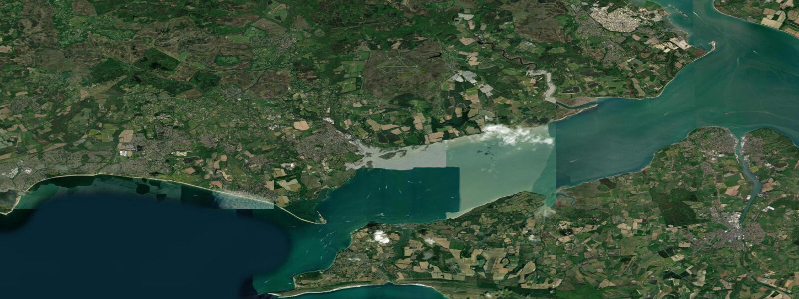
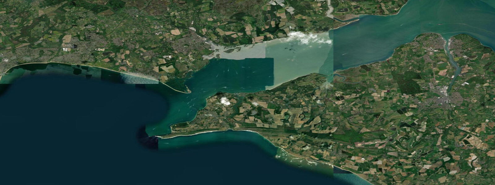
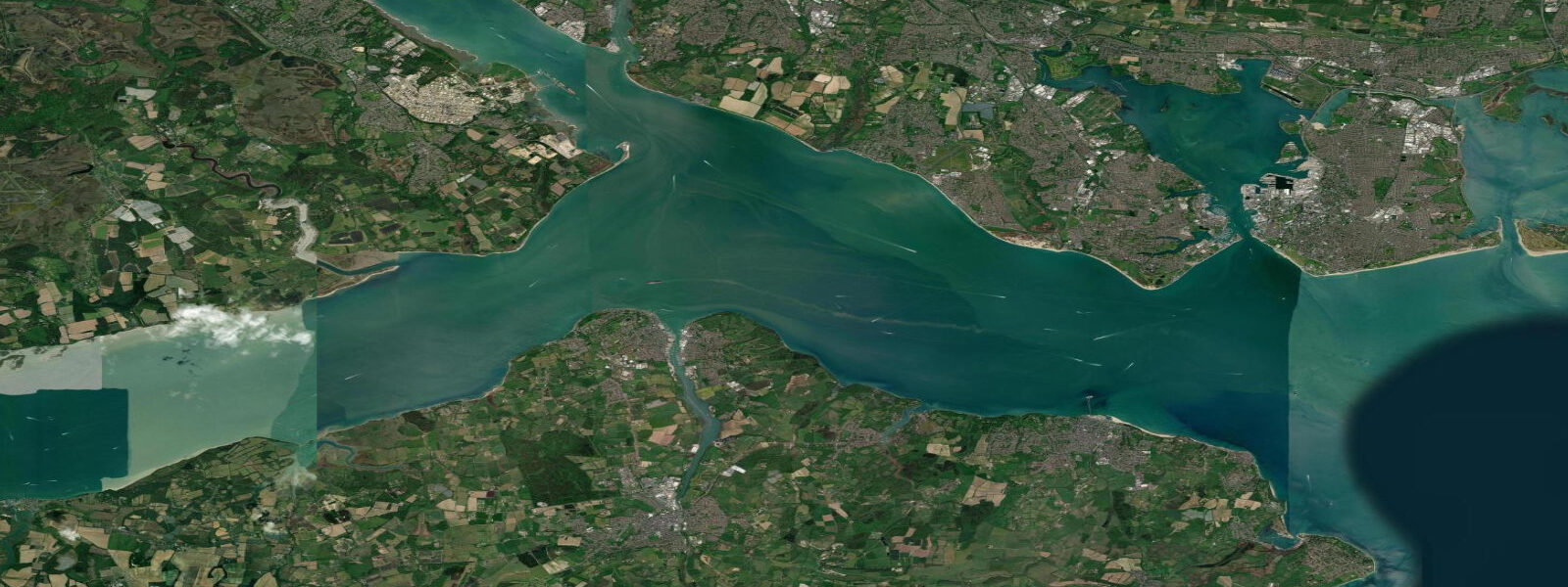
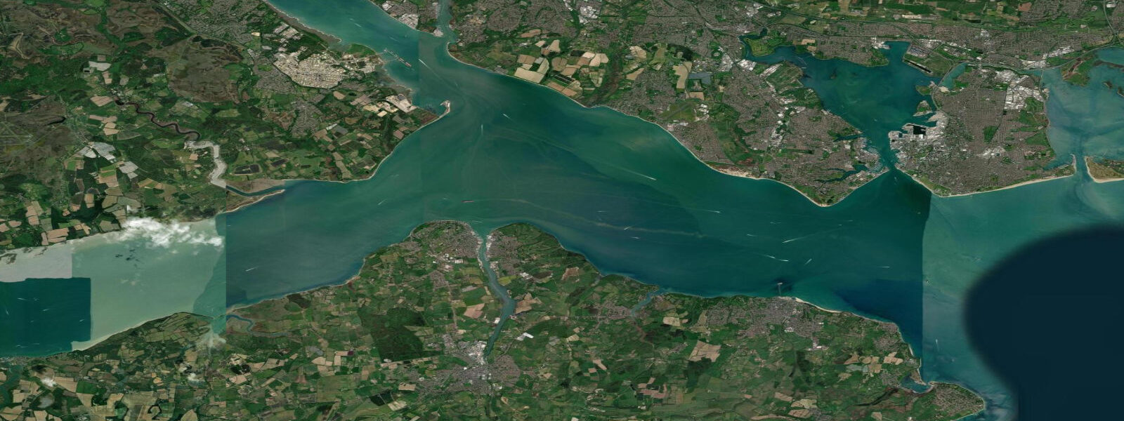
Lymington sits on the western edge of the New Forest, where the Lymington River enters the Solent via one of the most heavily used yacht harbours on the south coast of England. The tidal character here is the dominant fact of the place: the Solent has an unusual tidal pattern with two high waters per tidal cycle — a phenomenon driven by the resonance of the tidal wave as it splits around the Isle of Wight. This double-high-water prolongs high-tide conditions, giving boats a longer window to navigate the shallow river approaches. Mean spring range at Lymington is around 2.8 metres; neaps drop to about 1.4 m.
The Lymington River is tidal for several kilometres inland; the channel is maintained to around 2 metres at chart datum for the regular ferry traffic to Yarmouth on the Isle of Wight. The Wightlink ferry departs from the river mouth on a schedule aligned with tide and demand. Sailing club racing dominates the Solent on weekends from April through October — the Lymington, Royal Lymington, and Berthon clubs together run one of the densest racing programmes on the English coast.
For paddlers, the Lymington River is accessible by kayak or stand-up paddleboard from the public slipway at the town quay. The estuary winds through saltmarsh and reed beds for about 4 kilometres to the river mouth. A rising tide makes the upper section navigable for shallow-draught craft; at low water on springs the upper reach is ankle-deep mud. The saltmarsh on both banks is designated SSSI; landing on the marsh is not permitted.
For shore anglers, the river provides bass and mullet fishing in summer. Bass hold behind the ferry pontoons and in the main channel eddies on the flood tide; mullet feed in the upper brackish reaches on a warm-water flood. The Lymington pier area produces flatfish and pouting. Offshore, the Solent Bight south of the river mouth has good bream fishing in summer on the chalk reef outcrops.
The town itself has good chandlery and marine services for yachts in transit; the town quay market runs on Saturdays. The New Forest is immediately behind the town — New Forest ponies graze to the estuary edges in several places. The ferry to Yarmouth gives day-trip access to the western Isle of Wight, and tide prediction matters for the return trip — the last ferry of the day runs to a fixed time regardless of tidal state.
Tide predictions on this page come from Open-Meteo Marine, a gridded global ocean model, cross-referenced with UK Environment Agency gauge data. For the most accurate local predictions, consult the UK National Tide Gauge Network via CEFAS or the UKHO's EasyTide service.
Tide questions about Lymington
Quick answers to the most common questions about tide times, range, and water access at Lymington.
Why does Lymington have two high tides per day?
The Solent's unusual tidal pattern is caused by the resonance of the tidal wave as it diffracts around the Isle of Wight. Two paths of the tidal wave ��— one through the western Solent and one via the eastern entrance — arrive at different times, creating a prolonged high-water period with a slight dip between the two peaks. At Lymington, this double-high-water gives boats a 3 to 4 hour window of near-high-water conditions — significantly longer than a typical semidiurnal coast.
Can I kayak or paddleboard in the Lymington River?
Yes — the public slipway at the town quay provides launch access. The best paddle is upstream (north) into the saltmarsh on a rising tide, which makes the upper narrow section navigable. The downstream route to the river mouth is straightforward but involves ferry traffic and motorboat wakes in summer. Stay well clear of the ferry lane and listen for horn signals from the ferry. Do not land on the SSSI saltmarsh — this is protected habitat.
When is the best time to fish for bass at Lymington?
Bass fishing in the Lymington River peaks June through October. Fish hold in the eddies behind the ferry pontoons and in the main channel on the flood tide — 2 hours before high water is the consistent productive window. Lures work well from the river bank and from kayak; soft plastic baits around the pontoon structure are the local method. Mullet fishing in the upper brackish section peaks in July and August on warm summer days.
How do I get the ferry to Yarmouth, Isle of Wight?
Wightlink operates the Lymington to Yarmouth vehicle and foot passenger ferry — journey time about 40 minutes. The service runs from the terminal at the mouth of the Lymington River. Timetables vary seasonally; book online at wightlink.co.uk for vehicles. Walk-on passengers can generally board without booking outside peak summer. The last sailing time is fixed regardless of tide — check the return schedule carefully, as the last ferry can be as early as 9:30 p.m. in winter.
What sailing clubs operate from Lymington?
Three major clubs are based in Lymington: the Royal Lymington Yacht Club, Lymington Town Sailing Club, and the Berthon Boat Company's associated club. The Solent is one of the world's most intensively raced sailing waters; combined racing from Lymington-area clubs runs most weekends April through October, with major offshore events including the Fastnet Race starting nearby. Visitors seeking crewing opportunities should contact the clubs directly or check the Solent Cruising and Racing Association website.
8-day tide table — Lymington
Heights relative to MSL. Predictions: Open-Meteo Marine (MeteoFrance SMOC, 0.08° grid) — heights relative to MSL (not chart datum / LAT). Model-derived.
| Day | Type | Time | Height |
|---|---|---|---|
| Fri 19 Jun | High | 02:38 | 0.2m / 0.5ft |
| Low | 06:58 | -1.6m / -5.2ft | |
| High | 15:33 | 0.3m / 1.1ft | |
| Sat 20 Jun | Low | 07:50 | -1.5m / -4.9ft |
| High | 16:25 | 0.2m / 0.7ft | |
| Low | 20:18 | -1.1m / -3.5ft | |
| Sun 21 Jun | High | 04:33 | -0.1m / -0.3ft |
| Low | 08:44 | -1.3m / -4.2ft | |
| Mon 22 Jun | High | 03:26 | -0.0m / -0.0ft |
| Low | 09:49 | -1.1m / -3.7ft | |
| High | 18:41 | 0.1m / 0.5ft | |
| Low | 22:22 | -0.7m / -2.3ft | |
| Tue 23 Jun | High | 04:03 | -0.1m / -0.5ft |
| High | 06:43 | -0.2m / -0.8ft | |
| Low | 10:55 | -1.0m / -3.3ft | |
| High | 17:04 | -0.1m / -0.3ft | |
| High | 19:40 | 0.0m / 0.1ft | |
| Wed 24 Jun | Low | 00:10 | -0.8m / -2.6ft |
| High | 05:01 | -0.2m / -0.6ft | |
| High | 08:14 | -0.1m / -0.5ft | |
| Low | 12:11 | -0.8m / -2.7ft | |
| High | 17:20 | -0.0m / -0.1ft | |
| Low | 18:51 | -0.1m / -0.5ft | |
| High | 20:48 | 0.1m / 0.2ft | |
| Thu 25 Jun | Low | 01:10 | -0.8m / -2.6ft |
| High | 05:34 | -0.2m / -0.6ft | |
| Low | 07:18 | -0.3m / -1.0ft | |
| High | 09:18 | -0.1m / -0.3ft | |
| Low | 13:10 | -0.8m / -2.7ft | |
| High | 18:03 | 0.1m / 0.2ft | |
| Low | 19:50 | -0.1m / -0.4ft | |
| High | 21:42 | 0.1m / 0.3ft | |
| Fri 26 Jun | Low | 00:00 | -0.5m / -1.7ft |