Harwich tide times
Harwich tide forecast — heights relative to MSL.
Today's tide times for Harwich
Tide times at Harwich on Saturday, 27 June 2026: first high tide at 01:00, first low tide at 03:23, second high tide at 10:08, second low tide at 15:51, third high tide at 22:28. Sunrise 04:36, sunset 21:18.
Tide chart for Harwich
24-hour cosine-interpolated curve around the present moment. Heights relative to MSL. Predictions: Predictions: Open-Meteo Marine (MeteoFrance SMOC, 0.08° grid).
Sun, moon and conditions on Sat 27 Jun
Snapshot at build time — refreshes daily. Sea state from Open-Meteo Marine.
Highs and lows next 7 days
Every predicted high and low for the next week, with the daily tidal coefficient (0–120; higher = bigger swing, > 95 means stronger currents).
Other spots nearby
The three closest curated TideTurtle locations to Harwich, measured by great-circle distance.
Today's solunar windows
Solunar tradition: major periods are the ≈3h windows around moon transit and opposition; minor are ≈2h around moonrise and moonset. Pair with the local tide stage and wind for the best read.
Cycle dates near Harwich
Next spring tide on Fri 03 Jul (range 3.3m / 11.0ft). Last neap on Sat 27 Jun.
Spring tides cluster around new and full moons (biggest swings). Neap tides land on quarter moons (smallest swings). See the spring tide and neap tide glossary entries for the why.
About tides at Harwich
A short guide to the coastline at Harwich — geography, sea state, and what the tide is actually doing under your feet.
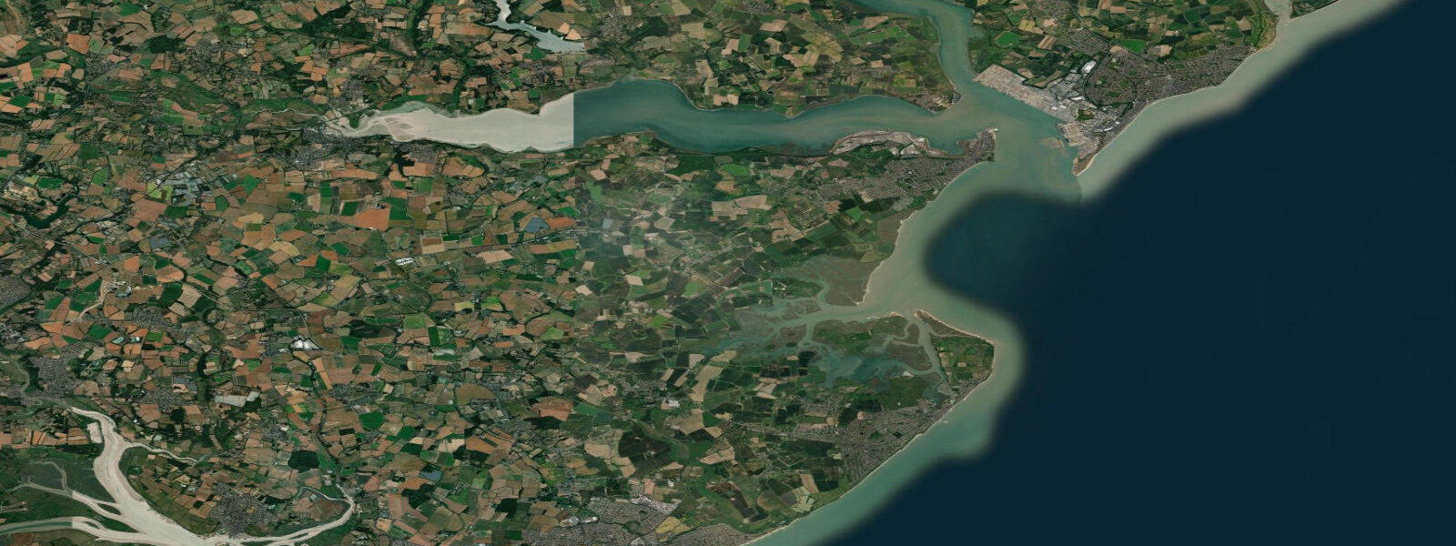
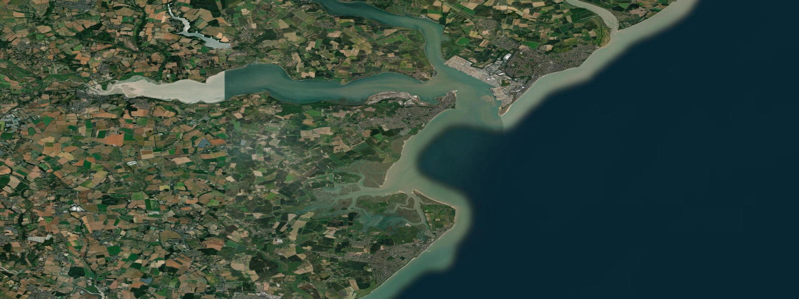
Harwich sits at the confluence of the Stour and Orwell estuaries where they combine to form Harwich Harbour before meeting the North Sea. Spring tidal range at Harwich is approximately 3.8 m — somewhat less than the more enclosed Thames Estuary locations to the south — but the harbour's geography concentrates the tidal flow into a narrow entrance, producing sustained currents of 3 knots or more on spring ebbs and floods through the main channel between Harwich and Felixstowe Docks.
Harwich is a working port, not a leisure beach. The Stena Line ferry service to the Hook of Holland operates daily, and the terminals on both the Harwich and Felixstowe sides handle container traffic continuously. Tidal timing matters to the ferry schedules in a technical sense — vessels of that size are constrained by under-keel clearance on the approach channel — but the practical effect for coastal visitors is that the harbour entrance sees substantial commercial vessel movement at all states of tide.
For small craft, the tidal stream is the primary planning consideration. The entrance channel runs roughly east-west; on the spring ebb the current sets hard south and southwest at the harbour mouth, where the combined Stour-Orwell outflow meets the coastal stream off Landguard Point. A kayak or small RIB arriving from seaward into a spring ebb at the wrong angle can be set 200 m off its intended track in the time it takes to cross the entrance. Slack water at low tide — the 30-minute window around low water slack — is the safest crossing window for small craft.
Crabbing from the Ha'penny Pier at Harwich is productive on the last two hours of the flood tide. The incoming water pushes shore crabs and small edible crabs into the pilings and structure below the pier, and children can fill a bucket handily from mid-flood onwards. Lower the drop-net well ahead of peak current — on a spring flood the net will kite downstream if deployed carelessly. After high water the slack period is again comfortable for slower crabbing methods.
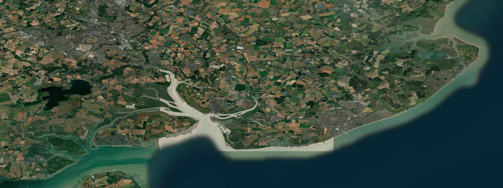
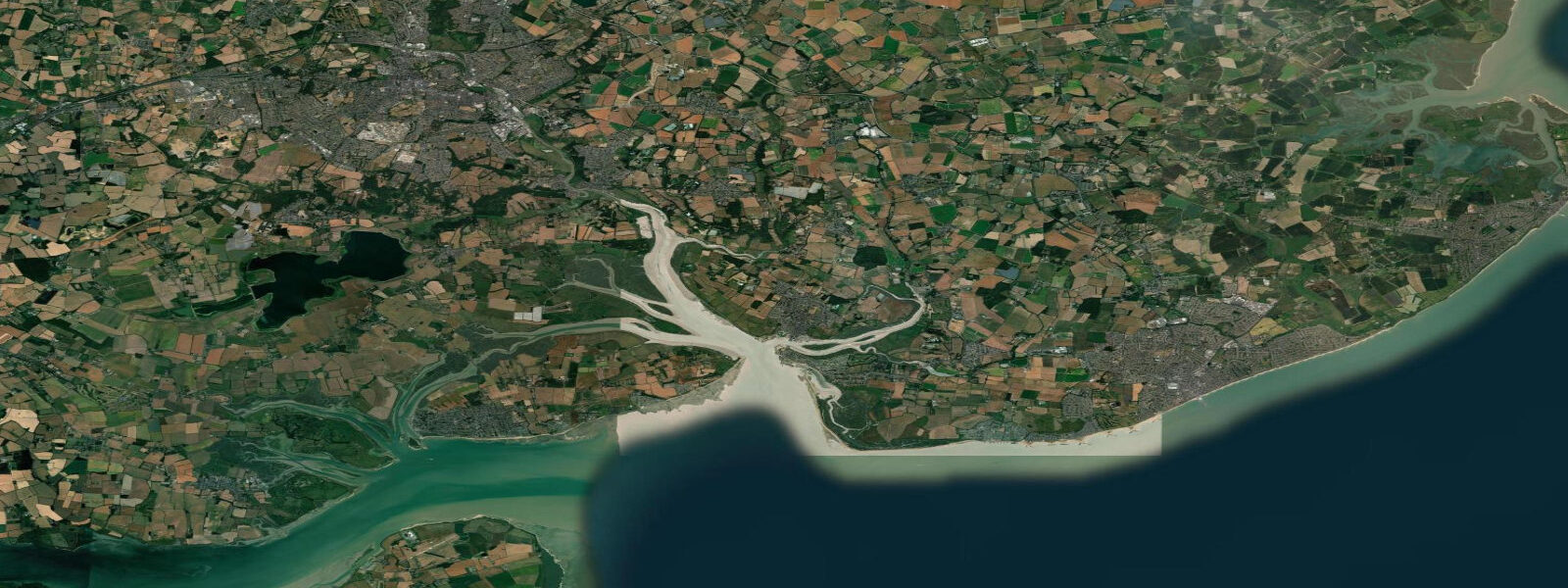
Wading birds and wildfowl use the upper Stour estuary extensively. The Stour Estuary SSSI covers the intertidal mudflats above Harwich, which support avocet, black-tailed godwit, and little egret on the falling tide. The best birdwatching access is from the footpath along the north bank of the Stour toward Wrabness — a 3-hour low water window from Harwich on a spring ebb gives you the full mud exposure from high ground. Binoculars adequate; a telescope rewarding.
Anglers fishing Harwich Quay and the breakwaters take bass and codling from October through December on the last two hours of the flood; heavy leads are needed in the main channel to hold bottom against the tidal current. The area east of Ha'penny Pier, in the shelter of the harbour wall, fishes better on the ebb when bass ambush prey in the back-eddy behind the structure. The deep water off Landguard Point immediately south of the harbour mouth holds thornback ray from May onwards.
Families visiting Harwich Town should know there is no swimming beach at the harbour — this is a working port with ship movements, strong currents, and no lifeguard cover. The nearest open-water swimming beach is Dovercourt Bay, 1.5 km southwest, where a sand and shingle beach is sheltered enough to swim at all states of tide. Dovercourt sees the same 3.8 m spring range; the beach clears completely to firm sand at low water and is walkable for half a kilometre at springs.
The Electric Palace cinema and the High Lighthouse are the town's heritage anchors. Both can be visited without tidal planning. Harwich's ferry terminal timetables are published by Stena Line and reflect under-keel depth constraints on the approach channel rather than passenger convenience — don't assume the ferry departs at high water.
Tidal predictions here use the Open-Meteo Marine gridded model (±45 minutes on timing, ±0.3 m on height). Not for navigation.
Tide questions about Harwich
Quick answers to the most common questions about tide times, range, and water access at Harwich.
How strong are the tidal currents at Harwich harbour entrance?
Tidal streams in the Harwich harbour entrance reach 3 knots on spring tides, in the channel between Harwich and Felixstowe Docks. The combined outflow of the Stour and Orwell estuaries concentrates the ebb into the entrance channel, and the current sets southwest at the harbour mouth during the ebb, which can push small craft significantly off track. Slack water around low water is the safest crossing window for kayaks and small boats, giving roughly 20 to 30 minutes of manageable current before the flood builds.
What is the tidal range at Harwich?
Spring tidal range at Harwich is approximately 3.8 m, slightly less than the Thames Estuary locations to the south and west because Harwich is closer to the open North Sea. Neap range is around 1.8 m. The semidiurnal pattern gives two high waters per day. Harwich high water is approximately 30 minutes after London Bridge — useful if you're cross-referencing with broader East Coast tide tables. The 3.8 m spring range is still macro-tidal and significantly affects small craft passage planning in the harbour.
When is the best time to crab from Ha'penny Pier?
The last two hours of the flood tide and the first hour after high water are the most productive for crabbing at Ha'penny Pier. Incoming water pushes crabs into the piling structure below the pier. Avoid the peak spring flood when current through the pilings makes keeping a drop-net in position difficult. The half-hour around high water slack, when the current pauses before reversing, is the most comfortable window for children using hand-lines and drop-nets. A supply of fresh mackerel or herring bait makes a significant difference.
Is there a swimming beach at Harwich?
Harwich Harbour itself has no safe swimming beach — commercial vessel traffic, 3-knot tidal currents, and no lifeguard provision make harbour swimming dangerous. The nearest designated swimming beach is Dovercourt Bay, 1.5 km southwest of Harwich Town. Dovercourt Bay has a sandy beach, a Victorian sea wall, and calm conditions at most states of tide. Spring low water exposes a wide flat beach walkable for half a kilometre. The tidal range is the same 3.8 m as Harwich, and the beach empties completely at low water on springs.
When is birdwatching best on the Stour Estuary near Harwich?
A spring ebb tide that bottoms out between 08:00 and 11:00 gives the best birdwatching window on the upper Stour Estuary SSSI. Avocet, black-tailed godwit, little egret, and curlew feed on the exposed mudflats above Harwich for two to three hours either side of low water. Access the footpath along the north bank of the Stour from Harwich toward Wrabness; the path runs above the intertidal zone giving clear sightlines across the flats. November through February is peak season for wader and wildfowl numbers.
8-day tide table — Harwich
Heights relative to MSL. Predictions: Open-Meteo Marine (MeteoFrance SMOC, 0.08° grid) — heights relative to MSL (not chart datum / LAT). Model-derived.
| Day | Type | Time | Height |
|---|---|---|---|
| Sat 27 Jun | High | 01:00 | -0.5m / -1.6ft |
| Low | 03:23 | -1.6m / -5.2ft | |
| High | 10:08 | 0.8m / 2.7ft | |
| Low | 15:51 | -1.7m / -5.5ft | |
| High | 22:28 | 0.9m / 2.9ft | |
| Sun 28 Jun | Low | 04:10 | -1.5m / -5.0ft |
| High | 10:54 | 1.1m / 3.5ft | |
| Low | 16:41 | -1.6m / -5.3ft | |
| High | 23:14 | 1.0m / 3.2ft | |
| Mon 29 Jun | Low | 04:59 | -1.5m / -4.9ft |
| High | 11:31 | 1.1m / 3.5ft | |
| Low | 17:21 | -1.6m / -5.2ft | |
| High | 23:54 | 1.1m / 3.5ft | |
| Tue 30 Jun | Low | 05:45 | -1.6m / -5.1ft |
| High | 12:06 | 1.0m / 3.2ft | |
| Low | 18:04 | -1.9m / -6.1ft | |
| Wed 01 Jul | High | 00:35 | 1.1m / 3.6ft |
| Low | 06:25 | -1.5m / -4.9ft | |
| High | 12:46 | 1.1m / 3.7ft | |
| Low | 18:51 | -1.9m / -6.1ft | |
| Thu 02 Jul | High | 01:11 | 1.0m / 3.3ft |
| Low | 07:03 | -1.5m / -4.9ft | |
| High | 13:21 | 1.2m / 4.1ft | |
| Low | 19:34 | -1.9m / -6.1ft | |
| Fri 03 Jul | High | 01:51 | 1.1m / 3.8ft |
| Low | 07:42 | -1.3m / -4.3ft | |
| High | 13:53 | 1.3m / 4.3ft | |
| Low | 20:14 | -2.0m / -6.7ft | |
| Sat 04 Jul | High | 00:00 | -0.3m / -0.8ft |