Swanage tide times
Swanage tide forecast — heights relative to MSL.
Today's tide times for Swanage
Tide times at Swanage on Friday, 19 June 2026: first high tide at 01:00, first low tide at 06:24, second high tide at 10:38, second low tide at 18:46, third high tide at 22:26. Sunrise 04:54, sunset 21:23.
Tide chart for Swanage
24-hour cosine-interpolated curve around the present moment. Heights relative to MSL. Predictions: Predictions: Open-Meteo Marine (MeteoFrance SMOC, 0.08° grid).
Sun, moon and conditions on Fri 19 Jun
Snapshot at build time — refreshes daily. Sea state from Open-Meteo Marine.
Highs and lows next 7 days
Every predicted high and low for the next week, with the daily tidal coefficient (0–120; higher = bigger swing, > 95 means stronger currents).
Other spots nearby
The three closest curated TideTurtle locations to Swanage, measured by great-circle distance.
Today's solunar windows
Solunar tradition: major periods are the ≈3h windows around moon transit and opposition; minor are ≈2h around moonrise and moonset. Pair with the local tide stage and wind for the best read.
Cycle dates near Swanage
Last spring tide on Fri 19 Jun (range 1.6m / 5.3ft). Next neap on Wed 24 Jun.
Spring tides cluster around new and full moons (biggest swings). Neap tides land on quarter moons (smallest swings). See the spring tide and neap tide glossary entries for the why.
About tides at Swanage
A short guide to the coastline at Swanage — geography, sea state, and what the tide is actually doing under your feet.
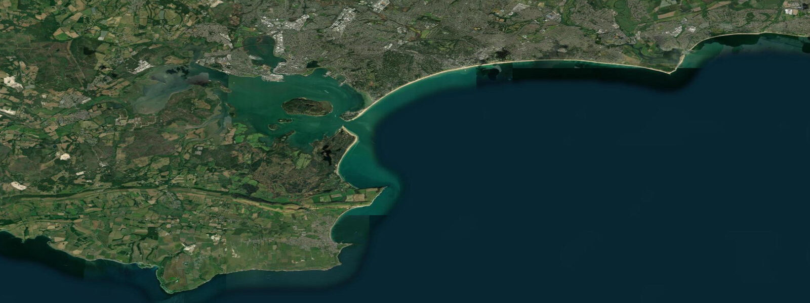
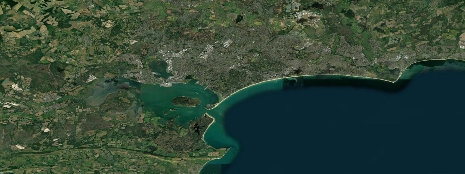
Swanage is the eastern end of the Jurassic Coast — the UNESCO World Heritage coastal section that runs 154 kilometres westward to Exmouth in Devon. The town sits in a bay cut into Purbeck limestone, with the chalk ridge of Ballard Down to the north and the limestone stacks of Durlston Head to the south. The geological variety within a few kilometres of Swanage is exceptional. Tidal range here is moderate but irregular: the English Channel double-tide pattern is pronounced at Swanage, with mean spring range around 1.8 metres — much less than on nearby Portland or the open Channel coast.
The low tidal range at Swanage is largely due to its tucked position in Swanage Bay, which faces southeast. The chalk headlands to the north (Old Harry Rocks) and the limestone headland to the south (Durlston) partially shelter the bay from the full tidal exchange. The result is a beach that doesn't shift dramatically between tides — the sand and shingle beach remains accessible and swimable across most of the tidal cycle.
Old Harry Rocks — the chalk sea stacks at the north end of the Purbeck coast — are the most iconic geological feature near Swanage. They're accessible on the South West Coast Path from the village of Studland (6 km walk from Swanage along the coastal path), and visible from kayaks launched from the main Swanage beach. The chalk is actively eroding; large stacks have collapsed in living memory. The passage between Old Harry and Handfast Point by sea kayak is possible in calm conditions and offers a unique perspective on the chalk architecture.
Surf at Swanage is limited — the sheltered bay and low tidal range don't produce the conditions that characterise the Atlantic coast. What the bay does reliably well is flatwater paddling and sea kayaking. The chalk and limestone coast from Swanage to Kimmeridge (10 km southwest along the South West Coast Path) can be paddled in a full-day trip, passing caves, arches, and reef systems not visible from land.
Kimmeridge Bay is worth singling out: a designated Marine Conservation Zone with some of the best snorkelling and shore diving on the English south coast. The Jurassic reef at Kimmeridge holds dogfish, wrasse, pollack, and lobster. The Purbeck Marine Wildlife Reserve provides information and monitoring; the old Clavell Tower on the cliff above is a landmark.
The Swanage steam railway runs from the town centre to Corfe Castle (6 km inland) and on to Wareham on the main rail network — a genuinely functional heritage railway link.
Tide predictions on this page come from Open-Meteo Marine, a gridded global ocean model, cross-referenced with UK Environment Agency gauge data. For the most accurate local predictions, consult the UK National Tide Gauge Network via CEFAS or the UKHO's EasyTide service.
Tide questions about Swanage
Quick answers to the most common questions about tide times, range, and water access at Swanage.
Why is the tidal range at Swanage so small?
Swanage Bay is partially sheltered by the chalk headlands of Ballard Down to the north (Old Harry Rocks) and Durlston Head to the south. The bay's orientation and the resonance of the English Channel tidal wave at this location produce a mean spring range of only about 1.8 metres — much less than on the exposed Channel coast. The double-high-water effect of the Solent system also influences the tidal curve here.
Can I kayak to Old Harry Rocks from Swanage?
Yes — in calm conditions, Old Harry Rocks are about 6 km north of the main Swanage beach by sea kayak, following the chalk cliff line to Ballard Point and then Handfast Point. The paddle through the arch at the base of Old Harry is possible in very calm conditions only — the chalk caves surge in any swell and the arch is dangerous. Land at Studland Beach for a break before returning. Do not attempt in swell above 0.5 m or in onshore wind.
Is Kimmeridge Bay good for snorkelling?
Kimmeridge is one of the best snorkelling sites on the south coast of England. The Jurassic limestone reef is accessible by snorkel at low to mid tide from the beach. Water visibility is typically 5 to 10 metres in settled conditions. Species include ballan wrasse, pollack, dogfish, rock goby, edible crab, and lobster. The Purbeck Marine Wildlife Reserve publishes a snorkel trail guide. The slipway at the bay is closed to the public on certain days when the Lulworth Range is active — check the Kimmeridge Bay website before visiting.
What is the Jurassic Coast?
The Jurassic Coast is a 154 km stretch of coastline from Old Harry Rocks (near Swanage) west to Orcombe Point (Exmouth, Devon), designated as a UNESCO World Heritage Site for its outstanding geological record. The cliffs expose 185 million years of Earth history in a single coastal transect — Triassic red sandstone at the western end, through Jurassic limestone and mudstone, to Cretaceous chalk at the eastern end at Swanage. Fossils are regularly exposed by cliff erosion; Charmouth Beach (40 km west) has the highest yield of accessible ammonites and ichthyosaur remains.
How do I get to Swanage without a car?
The Swanage Railway connects the town to Corfe Castle and on to Wareham, which is on the South Western main line from London Waterloo. The heritage railway runs scheduled services — check swanagerailway.co.uk for timetables and connections. There's also a seasonal passenger ferry from Poole Harbour (about 25 minutes) operated by Greenslade Pleasure Boats. From London, the full journey by train via Wareham takes about 2.5 hours.
8-day tide table — Swanage
Heights relative to MSL. Predictions: Open-Meteo Marine (MeteoFrance SMOC, 0.08° grid) — heights relative to MSL (not chart datum / LAT). Model-derived.
| Day | Type | Time | Height |
|---|---|---|---|
| Fri 19 Jun | High | 01:00 | -0.2m / -0.5ft |
| Low | 06:24 | -1.4m / -4.6ft | |
| High | 10:38 | 0.0m / 0.1ft | |
| Low | 18:46 | -1.0m / -3.3ft | |
| High | 22:26 | 0.2m / 0.6ft | |
| Sat 20 Jun | Low | 07:11 | -1.4m / -4.5ft |
| High | 11:22 | -0.2m / -0.6ft | |
| High | 15:50 | -0.3m / -0.8ft | |
| Low | 19:38 | -0.9m / -2.9ft | |
| High | 23:05 | -0.0m / -0.2ft | |
| Sun 21 Jun | Low | 07:59 | -1.1m / -3.8ft |
| High | 12:06 | -0.3m / -1.0ft | |
| High | 14:40 | -0.3m / -0.9ft | |
| Low | 20:22 | -0.7m / -2.3ft | |
| High | 23:50 | -0.1m / -0.3ft | |
| Mon 22 Jun | Low | 08:56 | -0.9m / -3.1ft |
| High | 12:25 | -0.4m / -1.3ft | |
| Low | 12:40 | -0.4m / -1.4ft | |
| High | 15:45 | -0.2m / -0.7ft | |
| High | 18:42 | -0.2m / -0.8ft | |
| Low | 21:16 | -0.5m / -1.6ft | |
| Tue 23 Jun | High | 00:07 | -0.2m / -0.5ft |
| High | 02:55 | -0.3m / -0.8ft | |
| Low | 09:48 | -0.8m / -2.8ft | |
| High | 16:11 | -0.2m / -0.7ft | |
| Low | 22:20 | -0.5m / -1.8ft | |
| Wed 24 Jun | Low | 02:00 | -0.4m / -1.4ft |
| High | 04:17 | -0.3m / -0.9ft | |
| Low | 07:04 | -0.6m / -1.8ft | |
| Low | 10:48 | -0.6m / -2.0ft | |
| High | 16:51 | -0.1m / -0.4ft | |
| Low | 19:20 | -0.4m / -1.3ft | |
| High | 21:02 | -0.3m / -0.9ft | |
| Low | 23:45 | -0.5m / -1.6ft | |
| Thu 25 Jun | High | 05:00 | -0.2m / -0.6ft |
| Low | 07:54 | -0.6m / -1.8ft | |
| Low | 11:57 | -0.6m / -1.9ft | |
| High | 17:32 | 0.0m / 0.0ft | |
| Low | 20:18 | -0.4m / -1.3ft | |
| High | 21:56 | -0.3m / -0.9ft | |
| Fri 26 Jun | Low | 00:00 | -0.5m / -1.7ft |