Salcombe tide times
Salcombe tide forecast — heights relative to MSL.
Today's tide times for Salcombe
Tide times at Salcombe on Friday, 19 June 2026: first high tide at 01:00, first low tide at 03:02, second high tide at 09:34, second low tide at 15:18, third high tide at 21:47. Sunrise 05:04, sunset 21:28.
Tide chart for Salcombe
24-hour cosine-interpolated curve around the present moment. Heights relative to MSL. Predictions: Predictions: Open-Meteo Marine (MeteoFrance SMOC, 0.08° grid).
Sun, moon and conditions on Fri 19 Jun
Snapshot at build time — refreshes daily. Sea state from Open-Meteo Marine.
Highs and lows next 7 days
Every predicted high and low for the next week, with the daily tidal coefficient (0–120; higher = bigger swing, > 95 means stronger currents).
Other spots nearby
The three closest curated TideTurtle locations to Salcombe, measured by great-circle distance.

Today's solunar windows
Solunar tradition: major periods are the ≈3h windows around moon transit and opposition; minor are ≈2h around moonrise and moonset. Pair with the local tide stage and wind for the best read.
Cycle dates near Salcombe
Last spring tide on Fri 19 Jun (range 4.3m / 14.1ft). Next neap on Thu 25 Jun.
Spring tides cluster around new and full moons (biggest swings). Neap tides land on quarter moons (smallest swings). See the spring tide and neap tide glossary entries for the why.
About tides at Salcombe
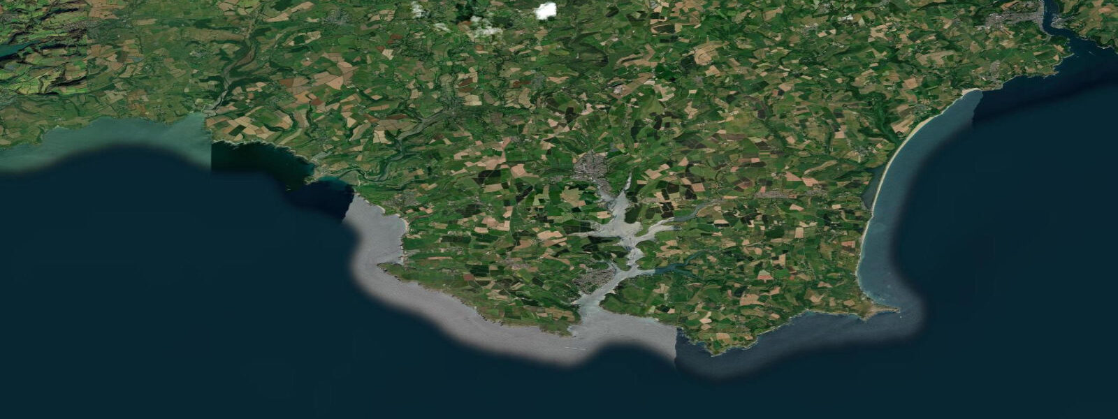
A short guide to the coastline at Salcombe — geography, sea state, and what the tide is actually doing under your feet.
Salcombe occupies the western bank of the Kingsbridge Estuary, a ria on the South Devon coast that bites 10 kilometres into the land from the English Channel. The estuary has no major river feeding it — it's essentially a drowned valley flooded by the sea. Tidal range at Salcombe is moderate by UK standards: mean spring range around 4.0 metres, neaps 2.7 m. Low water on a spring tide retreats through the estuary, and the sandbanks and oyster beds between the town and East Portlemouth sand bar are exposed for hours.
The bar at the mouth of the estuary is the defining hazard. The Salcombe Bar — a sand spit that partially closes the entrance — creates breaking waves in southerly swells on an ebb tide. The wave breaks violently in 1.5 to 2 metres of swell combined with ebb current; several vessels have been lost here over the decades. The safe crossing window is typically on the flood tide or in flat conditions; local boatmen know the bar well. In settled summer conditions, the bar crossing in a small boat is benign; in any swell with ebb running, it deserves respect.
Sandbanks line the estuary — Mill Bay, Sunny Cove, and the main sands at Millbay all dry or become shallows on the ebb. The shallow sandy bays are perfect for children and for paddleboarders; the water in the estuary is warmer than the exposed coast because the enclosed space allows solar heating of the shallow water. The Salcombe to Snape boat is a regular ferry across the estuary in summer; kayakers and paddleboarders cross freely.
The estuary holds a fleet of keelboats, dinghies, and tenders. The Salcombe Yacht Club runs racing most summer weekends; the spectator anchorage makes for good viewing from the town side. Arriving by water is the ideal Salcombe experience — the sight of the pastel houses climbing the hillside above the boats is the standard postcard and genuinely earns it.
Walkers use the South West Coast Path, which passes through Salcombe and connects east to Prawle Point and west to Hope Cove. The section from Salcombe to Bolt Head, 4 kilometres each way, is rugged cliff-top walking above a rocky coast used by grey seals. Seals haul out below the headlands most of the year; the best viewing is at low water on the large flat rocks west of the estuary mouth.
Sea bass fishing in the estuary is good from May through October. The channel under the ferry lines runs 5 to 8 metres at low water; bass hold in the eddies behind the anchor chains and ferry pontoon pilings on a flooding tide. Mullet are caught in the upper estuary in summer on small bread or ragworm flies. For offshore fishing, charter boats run from the harbour to the Skerries Bank (10 km south) for bass and bream.
Tide predictions on this page come from Open-Meteo Marine, a gridded global ocean model, cross-referenced with UK Environment Agency gauge data. For the most accurate local predictions, consult the UK National Tide Gauge Network via CEFAS or the UKHO's EasyTide service.
Tide questions about Salcombe
Quick answers to the most common questions about tide times, range, and water access at Salcombe.
What is the tidal range at Salcombe?
Salcombe has a moderate UK tidal range. Mean spring range is about 4.0 metres; mean neap range drops to around 2.7 m. The estuary dries extensively on spring low tides, exposing sandbanks and oyster beds throughout the Kingsbridge Estuary. The entrance bar at the mouth of the estuary is exposed and can break dangerously in swell on an ebb tide.
Is the Salcombe Bar dangerous?
It can be. The sand bar at the estuary entrance breaks in southerly swell combined with ebb tidal current — the combination of opposing flow and wave action creates short, steep, breaking seas. In calm settled conditions (common in summer) the bar is benign. The prudent approach for small boats is to cross on the flood tide whenever possible. If you're arriving from sea in any swell, time your approach for 2 to 3 hours after low water on the incoming tide.
Is the estuary safe for paddleboarding and kayaking?
Yes — the upper Kingsbridge Estuary is calm, shallow, and well-protected. The sandbanks between East Portlemouth and Salcombe are shallow enough to stand on at mid-tide — popular with paddleboarders. The lower estuary near the entrance has more current on tidal exchanges; the bar area should be avoided in any wind or swell. Water temperature peaks around 18 to 19°C in August — a wetsuit is comfortable from May through October.
Where can I see grey seals near Salcombe?
Grey seals haul out on the flat rocks below Bolt Head (west of the estuary entrance) and occasionally on the Mew Stone and the rocks south of the bar. The best viewing is at low water, when haul-out rocks are fully exposed. A kayak gives the quietest approach; seals will slip back into the water if approached too quickly from land. The South West Coast Path from Salcombe to Bolt Head passes above these seal sites.
How do I get to Salcombe without a car?
The 164 bus from Kingsbridge (which connects to Plymouth by train) takes about 30 minutes and runs several times daily in summer. The more scenic option is a boat: water taxis run from Kingsbridge down the estuary in summer. Ferry services also connect Salcombe with East Portlemouth on the other bank. Salcombe town itself is compact and walkable; the South West Coast Path is accessible directly from the town centre.
8-day tide table — Salcombe
Heights relative to MSL. Predictions: Open-Meteo Marine (MeteoFrance SMOC, 0.08° grid) — heights relative to MSL (not chart datum / LAT). Model-derived.
| Day | Type | Time | Height |
|---|---|---|---|
| Fri 19 Jun | High | 01:00 | -1.4m / -4.4ft |
| Low | 03:02 | -2.7m / -8.9ft | |
| High | 09:34 | 1.4m / 4.5ft | |
| Low | 15:18 | -2.4m / -7.8ft | |
| High | 21:47 | 1.6m / 5.2ft | |
| Sat 20 Jun | Low | 03:52 | -2.5m / -8.4ft |
| High | 10:16 | 1.1m / 3.6ft | |
| Low | 16:07 | -2.2m / -7.3ft | |
| High | 22:28 | 1.3m / 4.3ft | |
| Sun 21 Jun | Low | 04:41 | -2.4m / -7.8ft |
| High | 10:58 | 1.0m / 3.1ft | |
| Low | 17:00 | -2.0m / -6.7ft | |
| High | 23:13 | 1.2m / 3.9ft | |
| Mon 22 Jun | Low | 05:35 | -2.1m / -6.8ft |
| High | 11:40 | 0.9m / 2.8ft | |
| Low | 17:55 | -1.9m / -6.1ft | |
| High | 23:56 | 1.0m / 3.3ft | |
| Tue 23 Jun | Low | 06:31 | -2.0m / -6.6ft |
| High | 12:28 | 0.6m / 2.1ft | |
| Low | 18:54 | -1.8m / -6.0ft | |
| Wed 24 Jun | High | 00:48 | 0.8m / 2.5ft |
| Low | 07:24 | -1.9m / -6.1ft | |
| High | 13:23 | 0.7m / 2.4ft | |
| Low | 19:53 | -1.7m / -5.7ft | |
| Thu 25 Jun | High | 01:50 | 0.7m / 2.4ft |
| Low | 08:21 | -1.8m / -5.9ft | |
| High | 14:27 | 0.8m / 2.5ft | |
| Low | 20:52 | -1.8m / -5.8ft | |
| Fri 26 Jun | High | 00:00 | -0.2m / -0.8ft |