Grand Turk tide times
Grand Turk tide forecast — heights relative to MSL.
Today's tide times for Grand Turk
Tide times at Grand Turk on Saturday, 27 June 2026: first low tide at 12:54am, first high tide at 05:54am, second low tide at 11:54am. Sunrise 06:04am, sunset 07:30pm.
Tide chart for Grand Turk
24-hour cosine-interpolated curve around the present moment. Heights relative to MSL. Predictions: Predictions: Open-Meteo Marine (MeteoFrance SMOC, 0.08° grid).
Sun, moon and conditions on Sat 27 Jun
Snapshot at build time — refreshes daily. Sea state from Open-Meteo Marine.
Highs and lows next 7 days
Every predicted high and low for the next week, with the daily tidal coefficient (0–120; higher = bigger swing, > 95 means stronger currents).
Other spots nearby
The three closest curated TideTurtle locations to Grand Turk, measured by great-circle distance.
Today's solunar windows
Solunar tradition: major periods are the ≈3h windows around moon transit and opposition; minor are ≈2h around moonrise and moonset. Pair with the local tide stage and wind for the best read.
Cycle dates near Grand Turk
Next spring tide on Tue 30 Jun (range 0.7m). Last neap on Fri 26 Jun. Next neap on Thu 02 Jul.
Spring tides cluster around new and full moons (biggest swings). Neap tides land on quarter moons (smallest swings). See the spring tide and neap tide glossary entries for the why.
About tides at Grand Turk
A short guide to the coastline at Grand Turk — geography, sea state, and what the tide is actually doing under your feet.
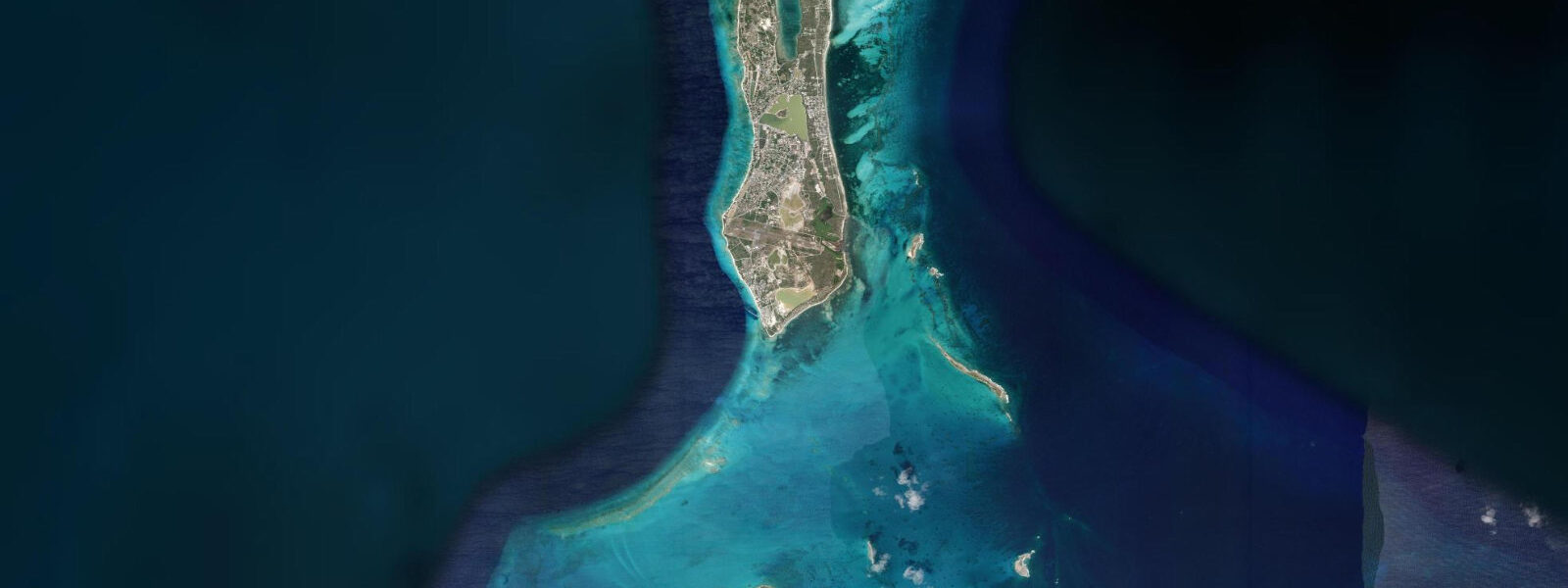
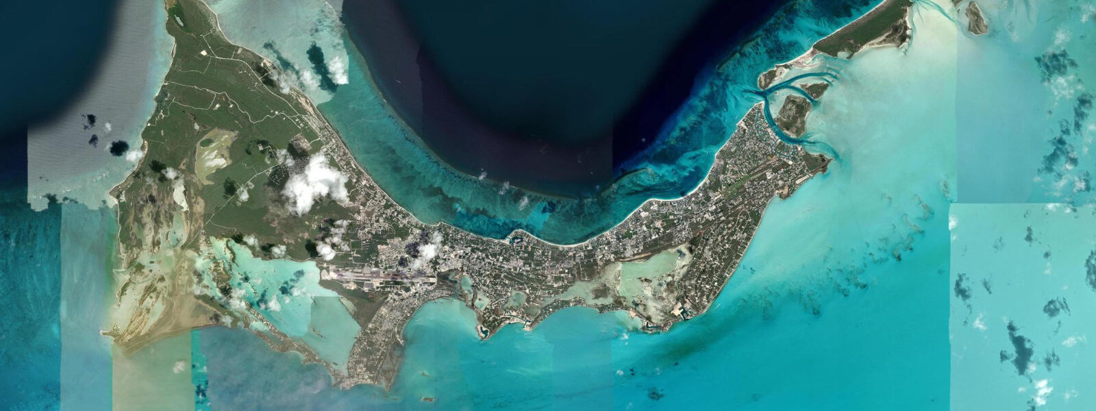
Grand Turk is the administrative capital of the Turks and Caicos Islands, a narrow 11-kilometre-long island sitting on the eastern edge of the Turks Bank, 100 km east of Providenciales across the deep Turks Island Passage. Cockburn Town, the capital, is a compact colonial settlement of salt-era wooden houses painted in faded pastels along Duke Street — one of the more intact 18th-century streetscapes in the Caribbean. The island served as the US space program's first recovery point: John Glenn's Friendship 7 capsule splashed down 40 miles east of Grand Turk in February 1962, and the island hosted NASA tracking operations through the Mercury and Gemini programs.
The tidal regime at Grand Turk is mixed semidiurnal with a spring range of approximately 0.4–0.6 m above Chart Datum. The island's position on the eastern face of the Turks Bank, directly exposed to the Atlantic across the Turks Island Passage, means weather effects from the northeast — northerly trade surges, cold-front passage — can push water levels 0.1–0.3 m above or below the astronomical prediction. Mean high water springs at Grand Turk sits around 0.4–0.5 m above Chart Datum; mean low water springs drops to approximately 0.0 m, exposing the upper reef crest and rock platforms fringing the island's eastern shore.
The defining coastal feature of Grand Turk is the western wall. The reef drops from 9 m at the reef top to more than 2,100 m depth within 300 m of the western shoreline — one of the Caribbean's most accessible wall dives because it begins so close to shore. The reef crest on the west side runs parallel to the island and is protected from the dominant easterly trade swell; west-coast diving is calmer and more accessible than diving the exposed eastern face. At high spring water the reef crest on the west side sits 1.0–1.5 m below the surface; at low spring water it shallows to 0.5–1.0 m. Dive operators time entry and exit to tidal state when crossing the shallow reef flat to reach the wall — a 0.5 m difference in water depth over the flat matters for hull clearance on a dive skiff.
The current along the western wall runs predominantly northward on the flood, southward on the ebb, typically 0.3–0.6 knots. On spring tides the flow picks up to 0.8–1.0 knots in sections where the wall topography focuses the current. Drift diving with the north-running flood is the standard approach: enter at the south end of the wall, drift north past the main spur-and-groove formations, and ascend to the skiff which tracks the divers from above. The current carries divers past the wall's best coral formations — black coral trees at 20–25 m, dense gorgonian fans at 15–20 m, occasional pelagic fish in open water off the wall face — at a pace set by the tidal phase rather than the diver's kick.
For anglers, the Turks Island Passage immediately east of Grand Turk is a deep-water channel with strong tidal exchange. Wahoo, mahi-mahi, and blue marlin run the passage edges. Pelagic fishing off the eastern shore requires a seaworthy vessel — the passage is exposed to Atlantic swell and northeast trade wind chop. Bottom fishing inside the reef on the west coast produces snapper, grouper, and triggerfish on the ebb, when current over the reef concentrates bait on the structure.
Families and beach visitors use the strip of sand at Pillory Beach on the west coast, immediately north of the cruise ship pier. The beach is narrow — 15–20 m at high water, expanding to 30–35 m at low spring water as the reef flat shallows. The cruise ship pier (Grand Turk Cruise Center, operated by Carnival Corporation) accommodates ships on the west coast; up to two large ships can berth simultaneously, delivering several thousand passengers to the island for day visits. The pier infrastructure extends into water that is navigable for small craft at all tidal stages. Swimmers should be aware of tender traffic and water-taxi movement between ship and pier during cruise calls.
Photographers on Grand Turk find two distinct visual environments: the colonial architecture of Duke Street and Cockburn Town (best in early morning light before the cruise passengers arrive), and the water itself — the wall from the water surface looking down, the horseback-riding-on-the-beach operation that uses the flat west-coast shoreline at low water, and the sunset light on the salt ponds in the island's interior. The ponds retain their salt-raking infrastructure as historic monuments.
All tide predictions for Grand Turk come from the Open-Meteo Marine gridded model. Timing accuracy is ±45 minutes; height accuracy is ±0.3 m above Chart Datum.
Tide questions about Grand Turk
Quick answers to the most common questions about tide times, range, and water access at Grand Turk.
What makes Grand Turk's western wall unique among Caribbean dive sites?
The Grand Turk wall begins at 9 m depth and drops to over 2,100 m within 300 m of the western shoreline — accessible by short boat ride or, at high water, even a swim from shore across the reef flat. The west-coast exposure is sheltered from the dominant easterly trade swell, keeping conditions calm most of the year. At high spring water the reef crest sits 1.0–1.5 m below the surface; at low spring it shallows to 0.5–1.0 m. The tidal current along the wall — 0.3–0.6 knots northward on the flood — makes drift diving the standard technique. Dive operators brief current direction based on tidal phase; spring tides produce the strongest drift and the most dynamic wall experience.
How does the tidal current affect drift diving on the Grand Turk wall?
The flood tide drives a northward current of 0.3–0.6 knots along Grand Turk's western wall; the ebb reverses it southward. Drift diving on the flood is the most productive approach: enter at the south end of the main wall section, drift north past the spur-and-groove formations and gorgonian fans at 15–25 m, surface as you approach the dive boat tracking overhead. On spring tides the current peaks at 0.8–1.0 knots in focused sections — fast enough that divers covering 400–500 m of wall in 45 minutes have to manage buoyancy rather than kick hard. Neap tides produce a gentler drift. Dive operators always confirm tidal phase before briefing entry point and drift direction.
What is the best time to visit Cockburn Town before the cruise ships arrive?
Cruise ships dock at the Grand Turk Cruise Center from approximately 08:00 and passengers clear the pier by 08:30–09:00. Duke Street and the Cockburn Town waterfront are quiet before 08:00 — light is best on the colonial facades from 07:00 to 08:30 when the sun is low from the east. Two large ships can berth simultaneously, delivering 4,000–6,000 passengers; by 10:00 the beach and town centre are busy. Plan photography, independent reef snorkelling, and Pillory Beach visits before 09:00 or after 16:30 when ships typically complete passenger embarkation.
Is shore fishing productive from Grand Turk's western shoreline?
Bottom fishing from the rocks and sandy stretches on the west side of Grand Turk targets snapper, grouper, and triggerfish. The most productive window is the first two hours of the ebb tide, when the current sweeping over the reef flat concentrates bait on the structure and draws predatory fish onto the reef edge. Wahoo and mahi-mahi run the Turks Island Passage east of the island but require a seaworthy offshore vessel — the east coast is exposed to open Atlantic swell and northeast trade chop. The west coast inside the reef is calm year-round and accessible from shore, though fishing activity pauses during busy cruise call days when the shoreline near the pier is in use.
How does the tidal range affect beach width at Pillory Beach near the cruise pier?
Pillory Beach expands from 15–20 m width at high spring water to 30–35 m at low spring water as the west-coast reef flat shallows and additional sand is exposed. The change is most noticeable at new and full moon spring tides when the low reaches its lowest point. For most beach users the difference is not dramatic — this is a microtidal coast with a 0.4–0.6 m spring range — but it matters for the horseback-riding operation that works the flat section at low water, and for snorkellers who find the transition from sand to reef slightly further from shore at low tide.
7-day tide table — Grand Turk
Heights relative to MSL. Predictions: Open-Meteo Marine (MeteoFrance SMOC, 0.08° grid) — heights relative to MSL (not chart datum / LAT). Model-derived.
| Day | Type | Time | Height |
|---|---|---|---|
| Sat 27 Jun | Low | 00:54 | 0.2m |
| High | 05:54 | 0.4m | |
| Low | 11:54 | 0.0m | |
| Sun 28 Jun | High | 19:38 | 0.7m |
| Mon 29 Jun | Low | 02:18 | 0.2m |
| High | 07:18 | 0.4m | |
| Low | 13:20 | 0.0m | |
| High | 20:20 | 0.7m | |
| Tue 30 Jun | Low | 02:54 | 0.2m |
| High | 08:00 | 0.5m | |
| Low | 13:55 | 0.1m | |
| High | 20:55 | 0.8m | |
| Wed 01 Jul | Low | 14:45 | 0.1m |
| High | 21:38 | 0.8m | |
| Thu 02 Jul | Low | 15:20 | 0.1m |
| High | 22:07 | 0.8m | |
| Fri 03 Jul | Low | 04:42 | 0.2m |
| High | 10:18 | 0.5m | |
| Low | 16:04 | 0.1m | |
| High | 19:00 | 0.4m |