Alanya, Antalya tide times
Alanya, Antalya tide forecast — heights relative to MSL.
Today's tide times for Alanya, Antalya
Tide times at Alanya, Antalya on Friday, 19 June 2026: first high tide at 13:50. Sunrise 05:33, sunset 20:12.
Tide chart for Alanya, Antalya
24-hour cosine-interpolated curve around the present moment. Heights relative to MSL. Predictions: Predictions: Open-Meteo Marine (MeteoFrance SMOC, 0.08° grid).
Sun, moon and conditions on Fri 19 Jun
Snapshot at build time — refreshes daily. Sea state from Open-Meteo Marine.
Highs and lows next 7 days
Every predicted high and low for the next week, with the daily tidal coefficient (0–120; higher = bigger swing, > 95 means stronger currents).
Other spots nearby
The three closest curated TideTurtle locations to Alanya, Antalya, measured by great-circle distance.

Today's solunar windows
Solunar tradition: major periods are the ≈3h windows around moon transit and opposition; minor are ≈2h around moonrise and moonset. Pair with the local tide stage and wind for the best read.
About tides at Alanya, Antalya
A short guide to the coastline at Alanya, Antalya — geography, sea state, and what the tide is actually doing under your feet.
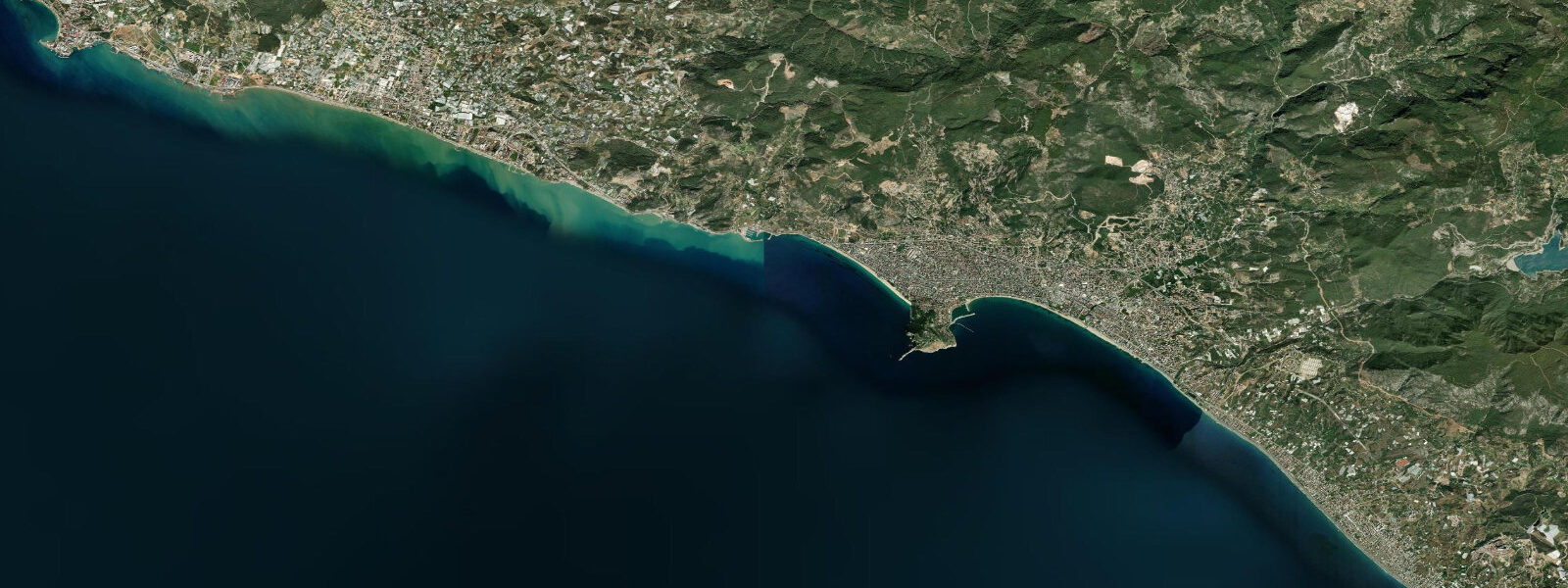
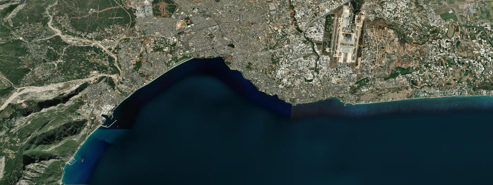
Alanya's 250 m promontory is one of the most visually dominant features on the Turkish Mediterranean coast. The headland rises abruptly from the sea, steep on all sides, with the Seljuk castle (Alanya Kalesi) running along its ridge and dropping in curtain walls to the water. From the castle walls on a clear morning you can see 30 km of coast in both directions — the flat Cilician plain to the east, the beginning of the Taurus foothills to the west. The promontory divides everything, including the beaches.
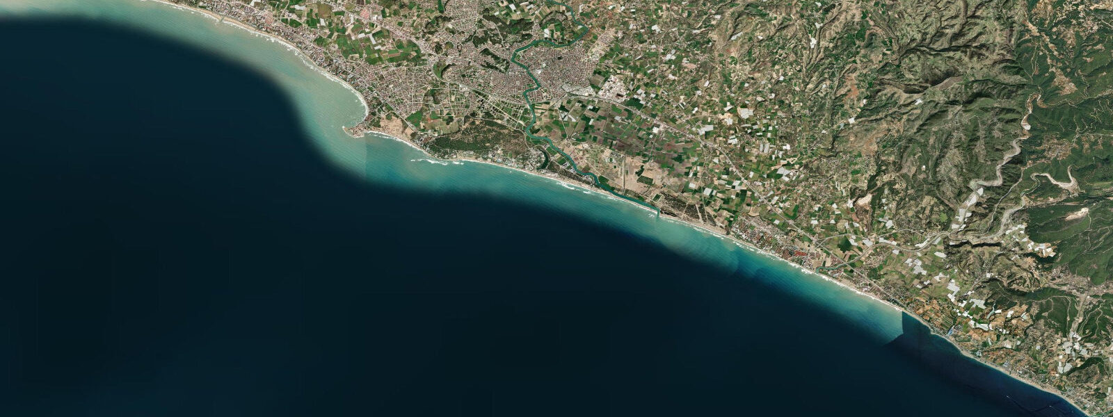
Cleopatra Beach runs for about 3 km to the west of the promontory, sheltered from the northeast by the headland mass. It faces southwest, catches the afternoon sun, and has the fine sand and calm-water character that makes it the default choice for families and resort guests. The eastern beach — officially Keykubat Beach — faces northeast and gets the full fetch of the Poyraz (northeast) swell in winter. In summer both beaches are calm; in November through February, Keykubat can have 1-2 m shore-break while Cleopatra sits flat.
The tidal regime here is Eastern Mediterranean microtidal. Mean range is 0.2-0.3 m, mixed semidiurnal — two high and two low waters per day of unequal height. Spring tides (around new and full moon) push the range to perhaps 0.35 m, neap tides drop it to 0.15 m. In practical terms, this is a barely perceptible tide. The beach width at Alanya does not visibly change between high and low water; the tide is not the variable that determines whether a rock shelf is accessible or a sandbar is above water.
What does move is atmospheric-driven water level: a deep low-pressure system in the eastern Mediterranean can raise the Alanya waterline by 20-30 cm above predicted. Combined with a 0.3 m spring tide, that produces a total water level approaching 0.6 m above mean — still modest by Atlantic standards, but noticeable if you are working off rock ledges.
Damlataş Cave is cut into the promontory at sea level on the southwest side, between the harbour and the base of the headland. The cave is accessible through a tourist entrance that has been open since 1948. The interior humidity is consistently 98% and the CO2 concentration is elevated — the cave was historically promoted as a treatment site for asthma (the claim is contested, but it draws visitors). What is geologically certain is that the cave connects to the promontory's internal water table, which itself sits a few centimetres above mean sea level. During spring tide periods, when the Alanya waterline is at its maximum of approximately 0.35 m above chart datum, the cave's interior humidity measurably increases as the water table responds. It is a subtle but real tidal signature in a coast that otherwise shows almost none.
The Red Tower (Kızıl Kule) at the foot of the promontory on the harbour side is the other water-level landmark. Built in 1226 CE under the Seljuk sultan Alaeddin Keykubad, the tower's ground floor was constructed at what was then mean high water — the stone ramp connecting it to the harbour infrastructure was designed to be accessible on foot at most states of the tide (which was already negligible). Today the tower sits approximately 0.5 m above current mean sea level, the difference reflecting a combination of sea-level change and local land movement since the 13th century. The stone ramp is now permanently dry.
For anglers, the promontory creates distinct fishing ground. The eastern side of the headland has depth quickly — 20-30 m within 200 m of the cliff base — and holds grouper (lahoz), dentex, and sea bream around the rock structure. The western (harbour) side is shallower and more disturbed by boat traffic. The Damlataş cave mouth opens into an underwater feature that local divers know as a good mark for bream in the 5-10 m zone.
Kayakers and paddlers operating from the town beach can explore the sea caves cut into the base of the promontory — Pirates Cave (Korsanlar Mağarası), Phosphorus Cave (Fosforlu Mağara), and Lovers Cave (Aşıklar Mağarası) are all accessible by sea from the harbour. Commercial boat tours run hourly. Because the tidal range is 0.2-0.3 m, the cave access heights are essentially constant — the cave entrances do not become impassable at any predictable tidal state. The variable is wave height: 0.5 m swell makes the cave entrances comfortable, 1.5 m (Poyraz conditions) closes them.
Photographers working the castle at golden hour have a reliable geometry: the 250 m promontory catches the last light long after the town beach has gone into shadow, and the Red Tower's ochre masonry reads well against the blue harbour water. The fixed water level means the harbour foreground is the same at 17:00 as at 19:00.
Tide data for Alanya, Antalya comes from the Open-Meteo Marine API, a gridded model product. Timing accuracy is ±45 minutes, height accuracy ±0.3 m — usable for trip planning, not for navigation.
Tide questions about Alanya, Antalya
Quick answers to the most common questions about tide times, range, and water access at Alanya, Antalya.
What is the tidal range at Alanya and does it affect the beaches?
Mean tidal range at Alanya is 0.2-0.3 m, mixed semidiurnal (two unequal highs and two unequal lows per day). At spring tides near new or full moon the range stretches to roughly 0.35 m; at neaps it drops to 0.15 m. In practical terms, the beach width at Cleopatra Beach and Keykubat Beach does not visibly change between states of the tide — the range is too small to produce a meaningful intertidal zone. The variable that actually controls beach conditions is wave height, which depends on wind direction. Northeast Poyraz swell significantly affects Keykubat Beach from November to February while Cleopatra Beach stays sheltered.
What is Damlataş Cave and is it accessible at all tide levels?
Damlataş Cave is cut into the southwest base of Alanya's promontory at sea level, accessible via a tourist entrance open since 1948. Interior humidity is permanently around 98% due to the cave's connection to the promontory's water table, which sits just above mean sea level. At spring tide (approximately 0.35 m above chart datum), the water table response is measurable as a humidity increase inside the cave — one of the few places on the Alanya coast where the micro-tidal signal registers at all. The tourist entrance is well above the water table and accessible regardless of tide state. The cave is generally open year-round.
What is the Red Tower and why is it slightly above current sea level?
The Red Tower (Kızıl Kule) was built in 1226 CE by the Seljuk sultan Alaeddin Keykubad at the foot of Alanya's promontory. Its ground floor was constructed at approximately mean high water level of the time, and the connecting stone ramp was designed for access at most tide states. Today the tower's base sits roughly 0.5 m above current mean sea level — the stone ramp is permanently dry. This elevation reflects a combination of regional sea-level change and local land-level movement since the 13th century, and is consistent with the broader pattern of coastal emergence seen at other ancient sites along the Turkish Mediterranean coast.
Is there a difference between Cleopatra Beach and Keykubat Beach for swimming?
Yes, and the promontory explains it. Cleopatra Beach faces southwest, sheltered from the northeast by the 250 m headland mass. It receives calm water conditions year-round except during southwest Lodos swell events (rare). Keykubat Beach faces northeast and is directly exposed to the Poyraz wind swell that arrives from that direction November through February. In summer (June-September) both beaches are calm and the water temperature reaches 26-28°C. If you are visiting outside peak summer, Cleopatra Beach is the safer swimming choice. Snorkelling around the rocky base of the promontory is possible from either end in calm conditions.
Can I visit the sea caves by kayak and does the tide affect access?
The sea caves in the base of Alanya's promontory — including Pirates Cave, Phosphorus Cave, and Lovers Cave — are accessible by kayak from the harbour in calm conditions. With a mean tidal range of 0.2-0.3 m, the cave entrance heights are essentially constant at any tide state. The controlling variable is wave height: a calm day with under 0.5 m swell makes cave access straightforward; 1.5 m northeast Poyraz swell closes most entrances. Commercial boat tours run from the harbour hourly in summer and can be a useful reference for conditions — if the tour boats are operating, the caves are accessible.
7-day tide table — Alanya, Antalya
Heights relative to MSL. Predictions: Open-Meteo Marine (MeteoFrance SMOC, 0.08° grid) — heights relative to MSL (not chart datum / LAT). Model-derived.
| Day | Type | Time | Height |
|---|---|---|---|
| Fri 19 Jun | High | 13:50 | -0.3m |
| Sat 20 Jun | — | ||
| Sun 21 Jun | Low | 22:00 | -0.5m |
| Mon 22 Jun | — | ||
| Tue 23 Jun | High | 05:50 | -0.3m |
| Wed 24 Jun | Low | 00:00 | -0.5m |
| Thu 25 Jun | High | 07:50 | -0.3m |
| Low | 14:10 | -0.5m | |