Nabeul, Nabeul Governorate tide times
Nabeul, Nabeul Governorate tide forecast — heights relative to MSL.
Today's tide times for Nabeul, Nabeul Governorate
Tide times at Nabeul, Nabeul Governorate on Friday, 19 June 2026: first low tide at 09:50pm. Sunrise 04:58am, sunset 07:37pm.
Tide chart for Nabeul, Nabeul Governorate
24-hour cosine-interpolated curve around the present moment. Heights relative to MSL. Predictions: Predictions: Open-Meteo Marine (MeteoFrance SMOC, 0.08° grid).
Sun, moon and conditions on Fri 19 Jun
Snapshot at build time — refreshes daily. Sea state from Open-Meteo Marine.
Highs and lows next 7 days
Every predicted high and low for the next week, with the daily tidal coefficient (0–120; higher = bigger swing, > 95 means stronger currents).
Other spots nearby
The three closest curated TideTurtle locations to Nabeul, Nabeul Governorate, measured by great-circle distance.
Today's solunar windows
Solunar tradition: major periods are the ≈3h windows around moon transit and opposition; minor are ≈2h around moonrise and moonset. Pair with the local tide stage and wind for the best read.
About tides at Nabeul, Nabeul Governorate
A short guide to the coastline at Nabeul, Nabeul Governorate — geography, sea state, and what the tide is actually doing under your feet.
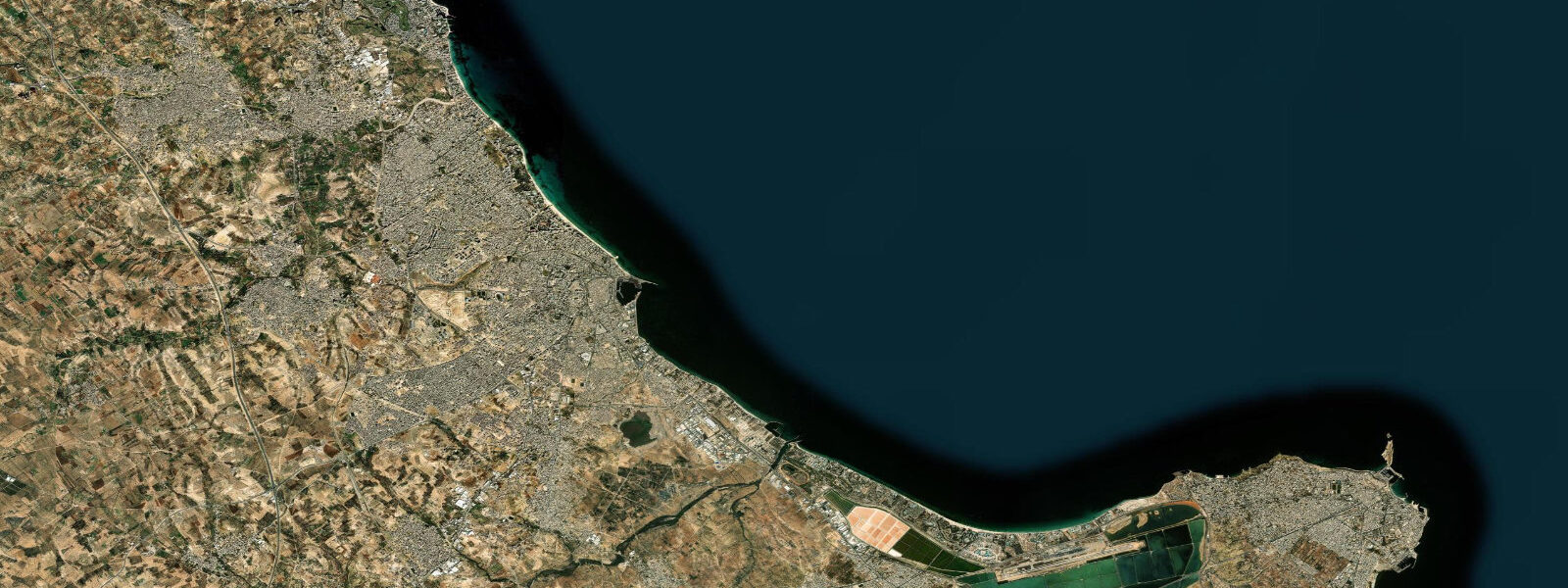
Nabeul is the administrative capital of the Nabeul Governorate and the town that Cap Bon's economy runs through. The ceramics industry is the identity here — the kilns, tile workshops, and pottery stalls have operated for centuries, and the Friday market draws buyers from across the peninsula and beyond. The beach that runs along the Gulf of Hammamet frontage is one of Tunisia's widest: five kilometres of continuous sand, gently shelving, open to view from the promenade and backed by the low-rise town rather than the wall of hotels that defines the resorts further north.
The Gulf of Hammamet is a relatively enclosed bay, its opening to the northeast partially shielded by the Cap Bon peninsula to the north and the Tunisian coastline curving eastward. This geometry means that northwest Mediterranean swell — the dominant wave energy source in the central Mediterranean — largely misses the gulf's southern and western shores. At Nabeul, the result is a beach with minimal surf: wave heights at the shoreline are typically 0.1 to 0.3 m in calm conditions, rarely exceeding 0.5 m except during sustained easterly winds, which are less frequent than northerlies. The tidal regime compounds the calm: mean range 0.1 to 0.3 m, so the beach geometry changes imperceptibly through the tide cycle. The combination of small waves, shallow gradient, and negligible tidal variation makes Nabeul beach among the most forgiving bathing environments on Tunisia's coast.
For families, the beach operates effectively year-round as a safe swimming area, though water temperature limits comfortable immersion to May through October (19°C in May, rising to 27°C in August, dropping back to around 21°C by October). The shallow water extends far offshore — a child can walk 50 metres from the sand and still be waist-deep. There is no rip current problem in the Gulf of Hammamet's enclosed geometry; the swell that drives rip formation at more exposed beaches barely reaches here.
The Friday market (Marché du Vendredi) is Nabeul's most-visited event. Ceramics and tilework occupy most of the stalls — hand-painted platters, zellige tiles, garden pots, and the characteristic Nabeul turquoise-and-ochre colour palette. Produce stalls run alongside: oranges, pomegranates, dried rosebuds, and the preserved lemons that go into coastal Tunisian cooking. The market extends to the beach promenade edge; on busy Fridays in spring and autumn the stalls reach the sand itself. It runs from roughly 08:00 to 14:00; arrive before 10:00 to browse before the coach groups from Hammamet hotels arrive.
For paddlers, the Gulf of Hammamet's calm geometry makes Nabeul one of the most accessible flatwater paddling locations on Tunisia's coast. Morning conditions are particularly clean — the thermal sea breeze typically builds after 11:00, leaving the two to three hours after dawn as a flat-water window. Stand-up paddleboarding from the main beach is straightforward; there is no meaningful current and no rip to account for. The microtidal range means launch and return timing is irrelevant to water depth at the launch zone.
Under the modern beach and the town grid lies the Roman port city of Neapolis. Founded as a Punic settlement and expanded under Rome, Neapolis ran a major garum industry — garum being the fermented fish sauce that functioned as both condiment and protein supplement across the Roman world, traded from North Africa to Rome and beyond. Offshore from modern Nabeul, underwater archaeological survey has documented 32 sunken amphorae storage tanks — large ceramic vessels used to store and transport the finished garum — sitting on the seabed in the relatively shallow nearshore zone. The tanks are submerged at depths accessible to recreational divers; local dive operators can provide access to the site. The Roman harbourworks themselves have largely been consumed by erosion and development, but the amphorae array offshore is one of the more concrete survivals of the ancient garum trade anywhere in the Mediterranean.
Tide data for Nabeul comes from the Open-Meteo Marine API, a gridded model product. Timing accuracy is ±45 minutes, height accuracy ±0.3 m — usable for trip planning, not for navigation.
Tide questions about Nabeul, Nabeul Governorate
Quick answers to the most common questions about tide times, range, and water access at Nabeul, Nabeul Governorate.
Why is Nabeul beach considered exceptionally safe for swimming?
Three factors combine to make Nabeul beach unusually safe. First, the Gulf of Hammamet's enclosed geometry blocks northwest Mediterranean swell — the dominant wave energy in the central Mediterranean — leaving wave heights typically 0.1 to 0.3 m at the shoreline. Second, the beach gradient is very gentle: a swimmer can walk 50 metres offshore and still be waist-deep, so there is no abrupt depth change. Third, without significant swell there is no rip current formation mechanism; rips require wave energy to drive the return flow that creates the channel. The tidal range of 0.1 to 0.3 m means beach geometry barely changes through the day. The main hazard in summer is jellyfish (Rhizostoma pulmo and occasionally Pelagia noctiluca), which bloom periodically in late summer — check conditions with local beach staff before entering if in doubt.
What are the sunken Roman garum tanks offshore from Nabeul?
Nabeul was founded in antiquity as Neapolis, a Punic and later Roman port city with a significant garum industry. Garum — fermented fish sauce produced from anchovies, mackerel, and other small species — was one of the Roman world's primary condiments and protein supplements, traded across the Mediterranean in ceramic amphorae. Underwater archaeological survey offshore from modern Nabeul has documented 32 sunken amphorae storage tanks on the seabed in the nearshore zone, at depths accessible to recreational divers. These are not intact amphorae but the fixed ceramic tank structures used to store the fermented product during production. Local dive operators offer access to the site. The tanks represent one of the most visible underwater survivals of the ancient garum trade in the Mediterranean, and the site has been the subject of ongoing archaeological research.
When is the Nabeul Friday market and what does it sell?
The Nabeul Friday market (Marché du Vendredi) runs every Friday from approximately 08:00 to 14:00, year-round. It is best known for ceramics and tilework: hand-painted platters, zellige tiles, garden pots, tagines, and pieces in the characteristic Nabeul palette of turquoise, ochre, and cobalt. Produce stalls sell oranges, pomegranates, dried rosebuds, preserved lemons, harissa, and olive oil. On busy Fridays in spring and autumn, stalls extend from the market area to the promenade edge, occasionally reaching the beach itself. Arrive before 10:00 to browse at your own pace before the coach groups from Hammamet hotels arrive. The market is a working local market, not a tourist showcase — prices reflect this if you buy from produce stalls rather than the ceramics shops.
Is Nabeul beach good for stand-up paddleboarding?
Yes. The Gulf of Hammamet's enclosed geometry gives Nabeul consistent flatwater conditions that are well-suited to stand-up paddleboarding. There is no meaningful current, no rip, and wave heights are typically 0.1 to 0.3 m or less. The tidal range (0.1 to 0.3 m) means launch and return depth at the beach edge barely changes through the day. The best window is early morning — the thermal sea breeze builds from around 11:00, and the two to three hours after dawn are typically the flattest. In July and August the water is warm enough (25 to 27°C) to paddle in boardshorts without a wetsuit. Equipment hire is available at the main beach in season. Outside the main summer season, the beach is less crowded and conditions are often better — May and September offer warm water, flat seas, and fewer people on the water.
How does the tidal range at Nabeul affect the beach and water access?
The mean tidal range at Nabeul is 0.1 to 0.3 m — so small that the difference between high and low water is imperceptible on the beach. The beach width does not meaningfully change through the tide cycle; the waterline shifts by a few metres at most on this gentle gradient. For beach families this means there is no need to time arrival around the tide: pick a spot, stay as long as you like, the water will be in approximately the same place. For paddlers, launch depth is effectively constant. The only marginal effect is on the very shallowest nearshore zone — a 0.2 m drop in water level at low tide can put the extreme shallows on dry sand, but the transition zone is wide enough that this is not a practical concern. Wind and sea state are the variables that matter at Nabeul, not the tide.
7-day tide table — Nabeul, Nabeul Governorate
Heights relative to MSL. Predictions: Open-Meteo Marine (MeteoFrance SMOC, 0.08° grid) — heights relative to MSL (not chart datum / LAT). Model-derived.
| Day | Type | Time | Height |
|---|---|---|---|
| Fri 19 Jun | Low | 21:50 | -0.5m |
| Sat 20 Jun | High | 16:00 | -0.5m |
| Low | 22:50 | -0.6m | |
| Sun 21 Jun | — | ||
| Mon 22 Jun | High | 05:00 | -0.4m |
| Tue 23 Jun | — | ||
| Wed 24 Jun | — | ||
| Thu 25 Jun | Low | 03:00 | -0.4m |
| High | 23:00 | -0.3m | |