Kelibia, Nabeul Governorate tide times
Kelibia, Nabeul Governorate tide forecast — heights relative to MSL.
Tide chart for Kelibia, Nabeul Governorate
24-hour cosine-interpolated curve around the present moment. Heights relative to MSL. Predictions: Predictions: Open-Meteo Marine (MeteoFrance SMOC, 0.08° grid).
Sun, moon and conditions on Fri 19 Jun
Snapshot at build time — refreshes daily. Sea state from Open-Meteo Marine.
Highs and lows next 7 days
Every predicted high and low for the next week, with the daily tidal coefficient (0–120; higher = bigger swing, > 95 means stronger currents).
Other spots nearby
The three closest curated TideTurtle locations to Kelibia, Nabeul Governorate, measured by great-circle distance.
Today's solunar windows
Solunar tradition: major periods are the ≈3h windows around moon transit and opposition; minor are ≈2h around moonrise and moonset. Pair with the local tide stage and wind for the best read.
About tides at Kelibia, Nabeul Governorate
A short guide to the coastline at Kelibia, Nabeul Governorate — geography, sea state, and what the tide is actually doing under your feet.
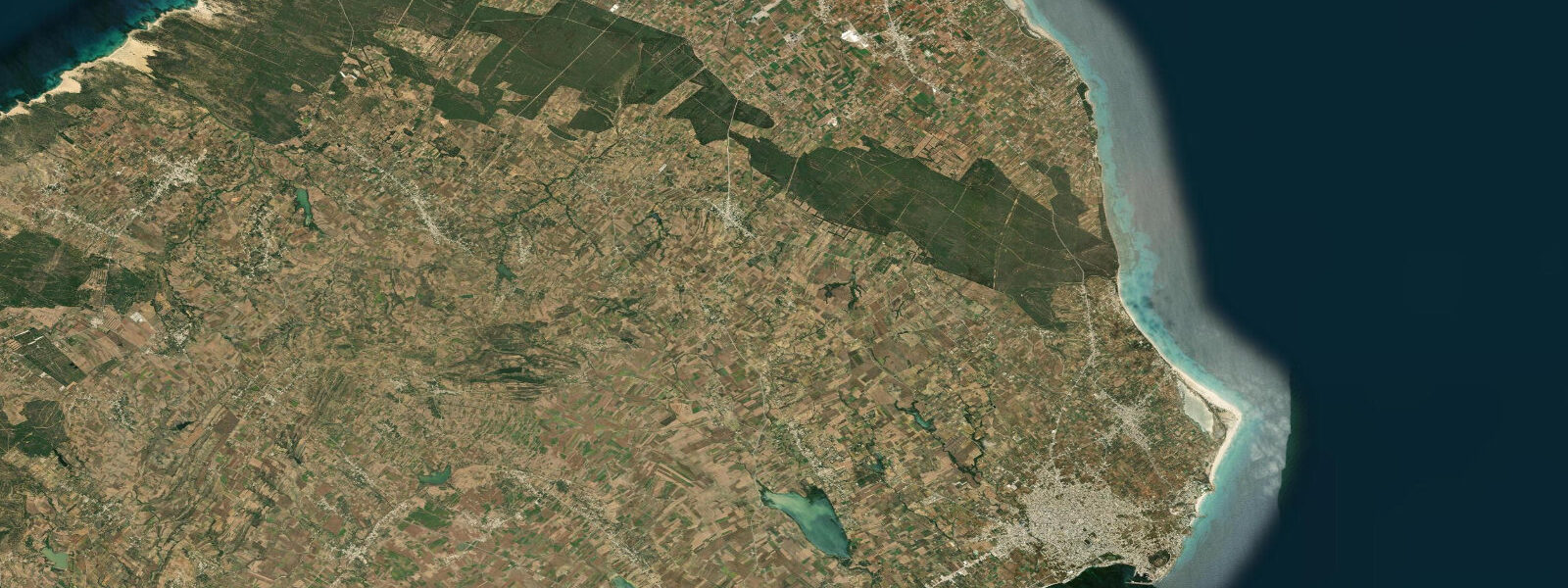
Kelibia sits at the northeastern tip of the Cap Bon peninsula, the finger of land that separates the Gulf of Tunis to the north from the Gulf of Hammamet to the south and narrows the Sicilian Channel to its minimum crossing width. Sicily is 140 km to the northeast. On a clear day the island's mountains are visible from the Byzantine fort that crowns the headland above Kelibia harbour.
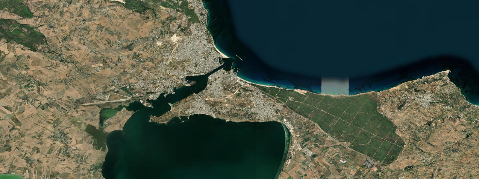
The fort is the town's dominant landmark — walls at approximately 100 m elevation, the seaward face dropping directly to the sea below. The structure has been rebuilt repeatedly: Byzantine foundations, Arab fortification, Spanish renovation in the 16th century, and subsequent modifications. What visitors see today is a layered record of whoever needed to control this strait over 1,500 years. The harbour sits at the fort's base, a working fishing port with a small-boat anchorage and the infrastructure of a town that earns its living from the sea rather than from tourism.
The tidal regime is Mediterranean microtidal — mean range 0.1 to 0.3 m, with atmospheric pressure and wind often producing larger water-level changes than the astronomical tide. But the sea conditions at Kelibia are not calm in the way that the sheltered Gulf of Hammamet is calm. The Sicilian Channel — the shallow passage between Tunisia's Cap Bon and Sicily — is one of the Mediterranean's oceanographically active zones. The channel functions as a sill between two basins: surface water (Atlantic-origin, lower salinity) flows eastward through the channel into the eastern Mediterranean, while denser, saltier Atlantic intermediate water flows westward at depth. These two flows, moving in opposite directions, interact with the channel's relatively shallow bottom topography to generate complex surface conditions — current shear, upwelling over the sill, and standing wave patterns when wind opposes the surface flow direction.
For mariners, the practical effect is that conditions at the channel's northern entry (the open water north and east of Cap Bon) can be significantly rougher than the Gulf of Hammamet just 30 km to the southwest, even with identical wind conditions. For anyone planning a crossing to Sicily by small vessel, the channel current adds to navigational complexity; tidal prediction alone does not capture the residual oceanographic circulation. For swimmers and paddlers staying close to the harbour and the sheltered south side of the headland, the channel dynamics are academic — the near-shore conditions are manageable on calm days.
Bird migration gives Kelibia and Cap Bon a different kind of visitor. The peninsula is one of the main raptor and passerine migration bottlenecks in the western Mediterranean. Each spring (March to May) and autumn (August to November), hundreds of thousands of birds funnel down Cap Bon from Europe, concentrating at the tip before attempting the sea crossing. Honey buzzards, black kites, short-toed eagles, and marsh harriers are the volume species; the variety across a migration season is exceptional. The village of El Haouaria at the northern tip of Cap Bon, visible from Kelibia's headland on a clear day, is the main watchpoint — but the migration is visible from Kelibia itself, particularly during strong northerly winds in autumn that ground birds at the cape.
For anglers, the deep water that approaches Kelibia harbour from the northeast (the channel deepens rapidly off the cape) means pelagic species are accessible without a long boat run. The same channel dynamics that create complex surface conditions also concentrate baitfish and the predators that follow them. Shore fishing from the harbour breakwater and the rocky margins below the fort targets the standard Mediterranean coastal species; boat fishing in the channel adds bonito (Sarda sarda), amberjack (Seriola dumerili), and occasional bluefin tuna on the migration route.
Tide data for Kelibia comes from the Open-Meteo Marine API, a gridded model product. Timing accuracy is ±45 minutes, height accuracy ±0.3 m — usable for trip planning, not for navigation.
Tide questions about Kelibia, Nabeul Governorate
Quick answers to the most common questions about tide times, range, and water access at Kelibia, Nabeul Governorate.
Why are sea conditions at Kelibia sometimes rougher than expected?
Kelibia sits at the tip of Cap Bon, where the Sicilian Channel narrows and the sea conditions are driven by more than just local wind. The channel functions as a hydrographic sill between the central and eastern Mediterranean basins: surface water flows eastward and denser Atlantic intermediate water flows westward at depth. When wind opposes the surface current direction, wave height increases faster than standard wind-sea models predict. The shallow bottom topography over the channel sill also generates current shear and upwelling that roughens the surface independent of wind. For near-shore swimming and paddling in the shelter of the harbour and headland, these dynamics matter less. For open-water crossings or passage north and east of the cape, they matter a great deal. Local fishing captains are the best source of current condition assessment — they read the channel every day.
When is the best time to watch bird migration at Kelibia and Cap Bon?
The two migration seasons are spring (March through May, northbound) and autumn (August through November, southbound). Autumn is generally considered the better season for raptors at Cap Bon: honey buzzards, black kites, short-toed eagles, marsh harriers, and ospreys concentrate at the tip before the Mediterranean crossing. Volume days occur when strong northerly winds pin birds at the cape, sometimes grounding thousands of raptors in a single day. El Haouaria, at the extreme northern tip of Cap Bon roughly 40 km north of Kelibia, is the dedicated watchpoint with the best concentration. From Kelibia itself, migration is visible overhead during active movement days. The migration is weather-driven — consult with birding groups active at Cap Bon for real-time movement reports. The best hours are mid-morning through early afternoon when thermal activity lifts the birds and they resume crossing attempts.
What is the Byzantine fort above Kelibia harbour and can you visit it?
The fort crowning the headland at approximately 100 m elevation above Kelibia harbour has Byzantine foundations from the 6th century CE, subsequently rebuilt by Arab forces after the Islamic conquest of North Africa, and renovated again by the Spanish in the 16th century during their period of control over parts of the Tunisian coast. The seaward face drops directly to the sea; from the walls there is an unobstructed view across the Sicilian Channel toward Sicily 140 km northeast. The fort is generally open to visitors during daylight hours; the climb from the harbour takes 20 to 30 minutes on foot. Confirm current access arrangements locally — opening hours and any admission requirements can change seasonally. Photography from the ramparts at dawn or dusk is worth the climb.
What fish species can be caught from Kelibia harbour and the surrounding coast?
Shore fishing from the harbour breakwater and the rocky margins below the fort targets comber, saddled bream, bogue, and wrasse in the crevices. The microtidal regime means no meaningful tidal current window — fish on light and sea state, not tide clock. The channel dynamics bring pelagic species unusually close to shore for Cap Bon; boat fishing in the Sicilian Channel access adds bonito (Sarda sarda), amberjack (Seriola dumerili), and bluefin tuna during their spring and autumn migration through the channel. Deep water approaches the cape quickly — pelagic species are reachable without long offshore runs. Local fishing boats in the harbour are the best source of current intelligence on what is running and where. Trolling along the channel edge produces reliably in spring (April to June) when the migration is active.
How does the tidal range at Kelibia affect beach and water activities?
The mean tidal range at Kelibia is 0.1 to 0.3 m — one of the smallest tidal variations you will encounter anywhere on an open coast. The difference between high and low water is so small that beach geometry, swimming depth, and access to rocky areas barely changes through the day. Wind setup and barometric pressure changes (a strong northerly can raise the local sea surface by 0.2 to 0.3 m on its own) often produce larger water-level shifts than the astronomical tide. For practical planning: ignore the tide for most beach and nearshore activities and focus on wind and sea state instead. The one exception is close inspection of the rock base below the fort headland, where even 0.1 to 0.2 m of water-level drop can expose or submerge narrow ledges. Open-Meteo tide timing carries ±45 minutes uncertainty — use it for general orientation rather than precise scheduling.
2-day tide table — Kelibia, Nabeul Governorate
Heights relative to MSL. Predictions: Open-Meteo Marine (MeteoFrance SMOC, 0.08° grid) — heights relative to MSL (not chart datum / LAT). Model-derived.
| Day | Type | Time | Height |
|---|---|---|---|
| Fri 19 Jun | — | ||
| Sat 20 Jun | Low | 10:00 | -0.5m |
| High | 15:00 | -0.5m | |
| Low | 21:00 | -0.6m | |