Hammamet tide times
Hammamet tide forecast — heights relative to MSL.
Today's tide times for Hammamet
Tide times at Hammamet on Friday, 31 July 2026: first low tide at 08:10am. Sunrise 05:22am, sunset 07:25pm.
Tide chart for Hammamet
24-hour cosine-interpolated curve around the present moment. Heights relative to MSL. Predictions: Predictions: Open-Meteo Marine (MeteoFrance SMOC, 0.08° grid).
Sun, moon and conditions on Fri 31 Jul
Snapshot at build time — refreshes daily. Sea state from Open-Meteo Marine.
Highs and lows next 7 days
Every predicted high and low for the next week, with the daily tidal coefficient (0–120; higher = bigger swing, > 95 means stronger currents).
Other spots nearby
The three closest curated TideTurtle locations to Hammamet, measured by great-circle distance.
Today's solunar windows
Solunar tradition: major periods are the ≈3h windows around moon transit and opposition; minor are ≈2h around moonrise and moonset. Pair with the local tide stage and wind for the best read.
About tides at Hammamet
A short guide to the coastline at Hammamet — geography, sea state, and what the tide is actually doing under your feet.
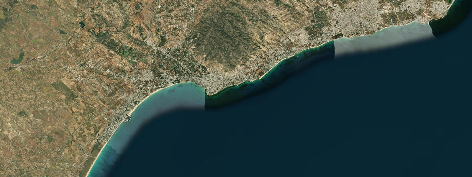
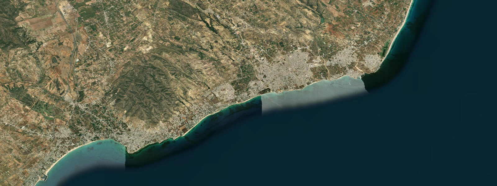
Hammamet sits at the western curve of the Gulf of Hammamet, sheltered to the north and east by the long arm of Cap Bon peninsula and facing northeast toward the open gulf and the Ionian Sea beyond. It was one of the first North African resort destinations to reach a European audience — Paul Klee and André Gide both stayed here in the early 20th century, drawn by the light, the medina, and the coast. The beach strip that runs south from the old medina kasbah toward the newer Yasmine Hammamet resort development is the longest in Tunisia, and the position on the western gulf face gives it a particular quality in summer: the morning is glassy, the thermal sea breeze builds from the north by midday, and by late afternoon it has scrubbed the heat off the sand.
The tidal regime at Hammamet is roughly semidiurnal and microtidal. Mean astronomical range is 0.2 to 0.5 metres — essentially the same regime as Sousse to the south, since both stations lie in the same Gulf of Hammamet basin. Spring tides near new and full moons push toward the upper end of that range; neap tides at the quarter moons compress the swing to around 0.2 metres. The practical beach experience at Hammamet is almost entirely wind-driven. The Gregale — the northeast wind that funnels down from the Ionian basin — pushes directly into the gulf from the northeast in autumn and winter, generating wave setup on the Hammamet shore that can raise observed water levels 20 to 40 centimetres above the predicted tide. During those conditions the main beach is not calm. The summer Tramontane from the north and northwest skims across the top of the Cap Bon peninsula and arrives at Hammamet as a lighter coastal wind that keeps the mornings flat and generates the afternoon sea breeze that keeps beach temperatures tolerable.
The old town kasbah at Hammamet sits directly on the seafront, the ramparts running down to the beach at the southern edge of the medina. The small fishing harbour below the kasbah operates a handful of traditional wooden boats targeting sea bream, octopus, and squid in the nearshore shallows. This is not a scale of fishing operation where the tide table drives much scheduling — the range is too small to generate meaningful harbour current, and the fishermen read wind and sea state first. But on calm summer mornings, the outgoing fish market at the harbour below the kasbah walls, the light from the east over the gulf, and the boats going out before seven make a scene that rewards the early start.
Swimming conditions at Hammamet are best from June through September. The beach shelves gently — the 1-metre depth contour runs 30 to 50 metres offshore in many sections — and the bottom is sandy with occasional seagrass patches. At low water in the microtidal range the change in depth over the beach face is small, 0.2 to 0.4 metres across the whole swing, so the difference between high and low water is visible in the dry sand strip but does not meaningfully change swimming depth for adults. Children and paddlers in shallow-draught boats will notice the low-water phase more: the seagrass patches are closer to the surface and some sections get ankle-shallow over the inner bar.
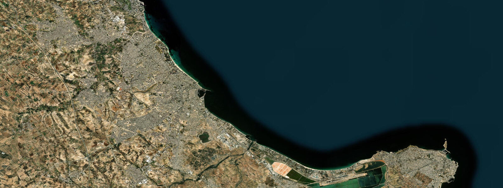
Yasmine Hammamet, the purpose-built resort zone 5 kilometres south of the old medina, has a marina and a long artificial beach. The marina is a sheltered, calm-water environment with none of the Gregale exposure of the open gulf face. Paddleboarders and kayakers using the marina launch have flat water available on almost any summer morning. The beach at Yasmine Hammamet faces slightly more eastward than the old-town beach, catching the sun from a lower angle in the early morning and staying in shade slightly earlier in the evening.
Photographers working Hammamet have access to two different scales of subject. The kasbah and medina wall above the beach are best in the hour after dawn, when the morning light catches the ramparts from the northeast and the fishing boats are already out on flat water. The Yasmine Hammamet marina at dusk — the terrace cafes, the moored yachts, the last light on the western face of the Cap Bon ridge in the background — is a different kind of image entirely: more resort, less history, but the light holds for longer in the evening than at the old-town beach.
Tide predictions on this page come from Open-Meteo Marine, a global ocean model. Accuracy is typically within plus or minus 45 minutes on timing and 0.2 to 0.3 metres on height. For a coast with a mean range of 0.2 to 0.5 metres, that uncertainty is a large fraction of the total signal. The Office National de la Météorologie and the Agence Nationale des Ports are the authoritative sources for coastal and tide data along the Tunisian coast.
Tide questions about Hammamet
Quick answers to the most common questions about tide times, range, and water access at Hammamet.
When is the next high tide at Hammamet?
The next predicted high tide at Hammamet, shown in local Tunisia time (CET, UTC+1, with DST in summer), appears in the hero block at the top of this page. Hammamet follows a roughly semidiurnal Mediterranean pattern — two highs and two lows per day, with the inequality between successive highs often visible. Mean astronomical range is 0.2 to 0.5 metres. The Agence Nationale des Ports is the official source for Tunisian coastal tide data and is the authoritative reference for any commercial or navigational application.
What is the typical tidal range at Hammamet, and why is it small?
Mean astronomical range at Hammamet is 0.2 to 0.5 metres — microtidal Mediterranean. The Mediterranean is a nearly enclosed sea; the tidal signal entering through the Strait of Gibraltar dissipates rapidly across the basin, leaving most of the Mediterranean coast with small, irregular tides. The Gulf of Hammamet's basin geometry does not produce the kind of resonant amplification seen in the Gulf of Gabès to the south, where spring tides can exceed 2 metres. At Hammamet, wind setup from the Gregale northeasterly in autumn and winter routinely produces water-level changes larger than the entire predicted tidal swing — the sea state is what drives beach conditions here, not the tide table.
Where does the tide data for Hammamet come from?
Predictions on this page are generated by Open-Meteo Marine, a free global ocean model. The model estimates tidal heights from hydrodynamic equations over a geographic grid rather than from harmonic analysis of a dedicated Hammamet gauge record. Typical accuracy is within plus or minus 45 minutes on timing and 0.2 to 0.3 metres on height. On a coast where the mean range is 0.2 to 0.5 metres, that height uncertainty is a large share of the total predicted swing. The Office National de la Météorologie and the Agence Nationale des Ports publish authoritative tide and coastal-conditions data for Tunisia.
When is the best time to swim or paddleboard at Hammamet?
June through September is the core window for swimming and paddleboarding at Hammamet. Mornings are typically the calmest part of the day — the thermal sea breeze from the north builds by midday and creates choppier surface conditions by early afternoon, though rarely dangerous. The tide itself has minimal effect on swim safety at this range: the beach shelves gently and the difference between high and low water changes swimming depth by only 0.2 to 0.4 metres over most of the beach face. The Gregale northeasterly from October onward makes open-beach swimming uncomfortable and unpredictable; in those months the Yasmine Hammamet marina provides a sheltered alternative for flat-water paddling.
Can I use these tide predictions for the Yasmine Hammamet marina?
The predictions give the tidal rhythm for Hammamet and are useful for understanding the timing of high and low water. However, they are not operational navigational data and should not be used for marina entry or berth-allocation decisions at Yasmine Hammamet. The marina is a purpose-built leisure harbour with calm conditions for most of the summer season, and tidal height at this range makes minimal difference to marina navigation. Open-Meteo Marine carries uncertainty of plus or minus 45 minutes and 0.2 to 0.3 metres — on a 0.2 to 0.5 metre range coast, that uncertainty encompasses the full swing. For any commercial or safety-critical decision, use data from the Agence Nationale des Ports.
6-day tide table — Hammamet
Heights relative to MSL. Predictions: Open-Meteo Marine (MeteoFrance SMOC, 0.08° grid) — heights relative to MSL (not chart datum / LAT). Model-derived.
| Day | Type | Time | Height |
|---|---|---|---|
| Fri 31 Jul | Low | 08:10 | -0.4m |
| Sat 01 Aug | High | 02:00 | -0.2m |
| Low | 08:50 | -0.4m | |
| Sun 02 Aug | High | 14:50 | -0.2m |
| Low | 21:10 | -0.4m | |
| Mon 03 Aug | High | 03:00 | -0.2m |
| Tue 04 Aug | Low | 21:50 | -0.4m |
| Wed 05 Aug | High | 16:10 | -0.3m |
| Low | 22:00 | -0.4m |