Port of Spain tide times
Port of Spain tide forecast — heights relative to MSL.
Today's tide times for Port of Spain
Tide times at Port of Spain on Saturday, 27 June 2026: first high tide at 01:37am, first low tide at 08:37am. Sunrise 05:46am, sunset 06:31pm.
Tide chart for Port of Spain
24-hour cosine-interpolated curve around the present moment. Heights relative to MSL. Predictions: Predictions: Open-Meteo Marine (MeteoFrance SMOC, 0.08° grid).
Sun, moon and conditions on Sat 27 Jun
Snapshot at build time — refreshes daily. Sea state from Open-Meteo Marine.
Highs and lows next 7 days
Every predicted high and low for the next week, with the daily tidal coefficient (0–120; higher = bigger swing, > 95 means stronger currents).
Other spots nearby
The three closest curated TideTurtle locations to Port of Spain, measured by great-circle distance.

Today's solunar windows
Solunar tradition: major periods are the ≈3h windows around moon transit and opposition; minor are ≈2h around moonrise and moonset. Pair with the local tide stage and wind for the best read.
Cycle dates near Port of Spain
Next spring tide on Mon 29 Jun (range 0.8m). Next neap on Sun 28 Jun.
Spring tides cluster around new and full moons (biggest swings). Neap tides land on quarter moons (smallest swings). See the spring tide and neap tide glossary entries for the why.
About tides at Port of Spain
A short guide to the coastline at Port of Spain — geography, sea state, and what the tide is actually doing under your feet.
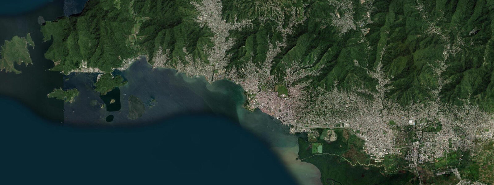
Port of Spain is the capital and commercial centre of Trinidad and Tobago, a working port city on the northwest coast of Trinidad where the Gulf of Paria meets the base of the Northern Range mountains. The city sits on reclaimed land — the Wrightson Road waterfront, the downtown business district, and the port facilities all occupy what was tidal flat within living memory. This is not a beach city in the conventional Caribbean sense: Port of Spain's water access is through the harbour, the ferry terminal, and the breakwater-fronted waterfront rather than through open sand beaches.
The tidal regime at Port of Spain is shaped by the Gulf of Paria's enclosed geometry. Dragon's Mouth (Bocas del Dragón), the northern strait between Trinidad and Venezuela's Paria Peninsula, and Serpent's Mouth (Boca de la Serpiente) to the south both restrict tidal exchange into and out of the gulf. The result is a mixed semidiurnal pattern with pronounced diurnal inequality: two highs and two lows per day, but the heights of the two daily highs often differ by 0.2–0.4 m, and the two lows frequently differ by a similar margin. Spring range in the gulf runs 0.5–0.8 m — larger than the open Caribbean norm but modest by Atlantic standards. The lower low water of the day typically exposes mudflats and rock shelves along the waterfront; the higher high water brings the surface noticeably closer to the quay walls at the port.
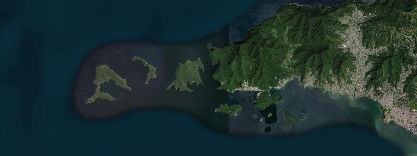
For boaters, Port of Spain's main infrastructure is at the King's Wharf port complex and the ferry terminal adjacent to it. The inter-island ferry to Tobago departs from here — the crossing takes roughly 2.5 hours, and departure times are set against the ferry schedule rather than tides, as the gulf and the Atlantic passage are navigable at all tide stages for vessels of that draft. The current through Dragon's Mouth runs 1.5–2.5 knots on spring tides; vessels transiting north to the Caribbean Sea or heading for Chaguaramas should account for this in planning.
Fishing from the Port of Spain waterfront and the breakwater structures targets snapper, kingfish, and carite (Spanish mackerel). The ebb tide concentrates fish at the breakwater tips as water drains from the shallower inshore areas into the deeper gulf. Dawn ebb on a spring tide is the standard productive window. Shore anglers also work the sea walls further along the western periphery road, where the reclaimed land meets the original gulf bottom and rocky structure attracts reef species.
The Queen's Park Savannah, 1.5 km inland from the waterfront, is the city's social centre — a 3.4 km perimeter loop used for running, cricket, and the food stalls (doubles, corn soup, bake and shark) that make up Trinidad's street-food reputation. The city's Carnival, held in the two days before Ash Wednesday, is the biggest cultural event in the English-speaking Caribbean: mas bands of thousands crossing the Savannah stage, accompanied by the soca music that has exported globally from this city.
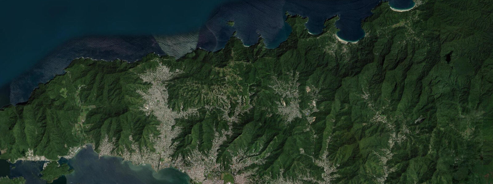
The Northern Range forms the backdrop to the city and is directly accessible from the Saddle Road and the Lady Young Road that climbs the ridge. The Asa Wright Nature Centre (65 km east) and the Caroni Bird Sanctuary (15 km south) are the two premier wildlife sites accessible from the capital — Caroni in particular is relevant to tide watchers: it is a mangrove wetland where the tidal flushing of the Caroni River estuary drives the twice-daily movement of scarlet ibis (Trinidad's national bird) roosting in the mangrove canopy. Arriving at the sanctuary by boat at high tide, as the ibis return to roost at dusk, is one of the genuine natural spectacles of the Caribbean. Boat tours from the Caroni landing depart in the late afternoon.
Photographers working the port area find the best light in the early morning, when the Northern Range ridge behind the city catches the first sun and the harbour is in relative calm before shipping traffic builds. The contrast between the colonial architecture of the Red House parliament building and the working-port foreground is a characteristic Port of Spain composition.
All tide predictions for Port of Spain come from the Open-Meteo Marine gridded model. Timing accuracy is ±45 minutes; height accuracy is ±0.3 m above Chart Datum.
Tide questions about Port of Spain
Quick answers to the most common questions about tide times, range, and water access at Port of Spain.
What is the tidal range at Port of Spain, and how does the Gulf of Paria affect it?
Port of Spain sits inside the Gulf of Paria, a semi-enclosed basin between Trinidad and Venezuela. Tidal exchange enters and exits through two narrow straits — Dragon's Mouth to the north and Serpent's Mouth to the south — which restrict flow and produce a spring tidal range of 0.5–0.8 m with strong diurnal inequality: the two daily highs often differ by 0.2–0.4 m. This makes the tide larger than the open Caribbean norm but still small. Mudflats and rock ledges on the waterfront expose at the lower low water of the day.
Where do anglers fish from Port of Spain?
Shore anglers target the breakwater structures at the port's western end and the sea walls along the periphery road. The ebb tide concentrates snapper, kingfish, and carite at the breakwater tips as water drains from the shallower inshore areas. Dawn ebb on a spring tide is the consistently productive window. Offshore, local fishing pirogues work the deeper gulf for larger pelagics. For reef fishing, the drop-offs at the Five Islands near Chaguaramas (20 minutes west) are the closest structured reef to the city.
How do I get to Tobago from Port of Spain?
The inter-island ferry departs from the Port of Spain ferry terminal at King's Wharf. The crossing to Scarborough, Tobago takes approximately 2.5 hours on the fast ferry and up to 5 hours on the slower vessel. Schedules run multiple departures daily; advance booking is recommended at peak holiday periods. The sea passage crosses open Atlantic north of Trinidad and can be rough when the northeast trades are strong November through April. Flights from Piarco International Airport (20 km east of the city) are the weather-independent alternative, with the crossing taking 20 minutes.
What is the Caroni Bird Sanctuary, and when should I visit relative to the tide?
The Caroni Swamp is a 40 km² mangrove wetland 15 km south of Port of Spain where the Caroni River meets tidal water. The sanctuary is home to Trinidad's national bird, the scarlet ibis, which roosts in the mangrove canopy in flocks of thousands each evening. Boat tours depart in late afternoon; the spectacle of ibis returning to roost at sunset is considered one of the finest wildlife experiences in the Caribbean. High tide fills the channels and simplifies boat navigation through the mangrove; the late-afternoon departure generally aligns with the incoming tide on most days, but check tide times before booking.
When is the best time to visit Port of Spain for Carnival?
Trinidad's Carnival runs on the Monday and Tuesday before Ash Wednesday — dates shift annually with the Christian calendar, falling between early February and early March. The season begins in October with fete season and peaks in the final weeks before Carnival Monday. Accommodation books out months in advance for the main weekend. The Savannah stage shows on Sunday before Carnival Monday are the most accessible entry point; the Monday and Tuesday road marches require stamina and early positioning. Weather is dry season: January through March is Trinidad's driest period, humidity lower, northeast trades keeping temperatures at 27–30°C.
7-day tide table — Port of Spain
Heights relative to MSL. Predictions: Open-Meteo Marine (MeteoFrance SMOC, 0.08° grid) — heights relative to MSL (not chart datum / LAT). Model-derived.
| Day | Type | Time | Height |
|---|---|---|---|
| Sat 27 Jun | High | 01:37 | 0.2m |
| Low | 08:37 | -0.5m | |
| Sun 28 Jun | High | 01:50 | 0.2m |
| Low | 09:04 | -0.5m | |
| High | 15:56 | 0.1m | |
| Mon 29 Jun | Low | 09:45 | -0.5m |
| High | 16:36 | 0.1m | |
| Low | 20:45 | -0.2m | |
| Tue 30 Jun | High | 02:54 | 0.3m |
| Low | 10:12 | -0.5m | |
| High | 17:04 | 0.1m | |
| Wed 01 Jul | Low | 21:54 | -0.2m |
| Thu 02 Jul | High | 04:04 | 0.3m |
| Low | 11:06 | -0.5m | |
| Fri 03 Jul | High | 04:38 | 0.3m |
| Low | 11:22 | -0.4m | |
| High | 18:10 | 0.2m |