Maracas Bay tide times
Maracas Bay tide forecast — heights relative to MSL.
Today's tide times for Maracas Bay
Tide times at Maracas Bay on Saturday, 27 June 2026: first high tide at 12:54am, first low tide at 08:00am, second high tide at 02:50pm. Sunrise 05:46am, sunset 06:31pm.
Tide chart for Maracas Bay
24-hour cosine-interpolated curve around the present moment. Heights relative to MSL. Predictions: Predictions: Open-Meteo Marine (MeteoFrance SMOC, 0.08° grid).
Sun, moon and conditions on Sat 27 Jun
Snapshot at build time — refreshes daily. Sea state from Open-Meteo Marine.
Highs and lows next 7 days
Every predicted high and low for the next week, with the daily tidal coefficient (0–120; higher = bigger swing, > 95 means stronger currents).
Other spots nearby
The three closest curated TideTurtle locations to Maracas Bay, measured by great-circle distance.

Today's solunar windows
Solunar tradition: major periods are the ≈3h windows around moon transit and opposition; minor are ≈2h around moonrise and moonset. Pair with the local tide stage and wind for the best read.
Cycle dates near Maracas Bay
Next spring tide on Tue 30 Jun (range 0.8m). Last neap on Fri 26 Jun. Next neap on Thu 02 Jul.
Spring tides cluster around new and full moons (biggest swings). Neap tides land on quarter moons (smallest swings). See the spring tide and neap tide glossary entries for the why.
About tides at Maracas Bay
A short guide to the coastline at Maracas Bay — geography, sea state, and what the tide is actually doing under your feet.
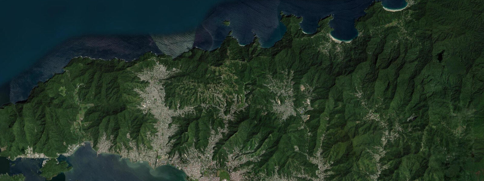
Maracas Bay is the most visited beach in Trinidad, a 1.5 km arc of sand on the island's north coast facing the open Caribbean Sea, reached by the North Coast Road that climbs over the Northern Range from Port of Spain — a 45-minute drive through dense rainforest that ends in a sudden descent to the bay. The Northern Range is the defining feature: the mountains rise immediately behind the beach to over 900 m, compressing the road into switchbacks and delivering a view of the bay from the ridge that is one of the more dramatic coastal reveals in the Caribbean.
The tidal regime at Maracas Bay differs from Trinidad's Gulf of Paria locations. This north coast faces the open Caribbean through Dragon's Mouth, so tidal influence comes directly from the Caribbean basin rather than through the restricted exchange of the gulf. Spring range here is approximately 0.3–0.6 m, mixed semidiurnal with diurnal inequality. The tide is not the dominant coastal force; the northeast trade wind swell from November through April is. On a strong-trade day, Maracas runs 1.0–1.5 m of swell with a 7–9 second period, and the shore break is significant enough to knock over a standing adult. The enclosed bay geometry provides partial shelter from the eastern trades, but the swell wraps around the headlands on both ends.
Bake and shark is the reason many Trinidadians drive to Maracas. The fried shark fillet in a fried dough bake (a local flatbread), served from the line of roadside stalls at the eastern end of the beach, is a national dish and a pilgrimage. Richard's Bake & Shark, the longest-established stall, draws queues that extend outside during the Saturday and Sunday rush. The beach experience is inseparable from this food ritual: most visitors time the beach morning around the lunch queue.
For swimmers, the beach is safest at the western end near the river mouth, where the topography provides the most swell shadow. Lifeguards are stationed at Maracas and flag conditions: green flag is safe, yellow is caution, red means stay out. Red flags appear several times weekly in the November–April swell season. Undertow is present particularly at the eastern end of the beach where the bay's shelf drops off more steeply. The safest family swimming is in the relatively flat-water zone 50–80 m west of the main food stalls, in 0.5–1.0 m depth at mid-tide.
For photographers, Maracas delivers two distinct compositions. The view from the North Coast Road ridge — taken from the layby 2 km above the bay — shows the full arc of sand, the headlands on both ends, and the Northern Range rising behind. In the early morning before trade-wind haze builds, both headlands are sharp and the sea is blue-green rather than whitecapped. Down at the beach level, the food stall area at dawn — before the crowds — gives the combination of Trinidad's visual culture (hand-painted signs, oil drum fryers, the stall architecture of a working Trini beach) with the bay's natural backdrop.
Paddlers and surfers find the best conditions at Maracas in the June–October low-swell period when trades moderate. The bay's shape creates a right-hand break at the eastern headland on the right swell direction. This is not a consistent surf break by international standards, but it draws local bodyboarders and shortboarders when north-facing swell arrives at the right angle and period. Flat days in the calm season give the bay's enclosed geometry as a flatwater kayak environment — the river at the western end is navigable by kayak for several hundred metres into the forest.
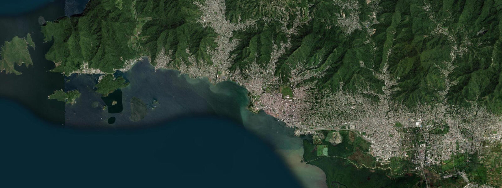
Maracas Bay village, a small fishing settlement on the western side of the bay, predates the beach tourism development and retains the fishing boat infrastructure. Pirogues are hauled above the tide line on the western shore; the fleet works the adjacent Caribbean for carite, kingfish, and flyingfish. The Maracas River runs alongside the village and drains the Northern Range watershed — after heavy rain, the river water visible entering the bay is not a water quality issue for swimming in the bay's main area, which is 200–300 m east.
All tide predictions for Maracas Bay come from the Open-Meteo Marine gridded model. Timing accuracy is ±45 minutes; height accuracy is ±0.3 m above Chart Datum.
Tide questions about Maracas Bay
Quick answers to the most common questions about tide times, range, and water access at Maracas Bay.
Is Maracas Bay safe for swimming, and how does the swell season affect conditions?
Maracas Bay has lifeguard cover and a flag system: green (safe), yellow (caution), red (no swimming). Red flags appear regularly during the November–April northeast trade wind swell season when wave height reaches 1.0–1.5 m and shore break is significant. The safest swimming zone is the western end near the river mouth, where the bay geometry provides the most protection. The eastern end of the beach has a more steeply shelving bottom and stronger undertow at all swell levels. June through October is the calm season with lower swell and consistently green-flag conditions most days.
What is bake and shark, and where do I get the best one at Maracas?
Bake and shark is a fried shark fillet — typically nursehound or similar small shark species — served in a fried flour flatbread (the bake) with pepper sauce, chadon beni (culantro), garlic sauce, and toppings to order. It is Trinidad's most famous street food. The stalls line the eastern end of the beach. Richard's Bake & Shark is the most established vendor and draws the longest queue — arrive before 11:00 or after 14:00 on weekends to avoid 30-minute waits. Most other stalls serve the same dish with minor recipe variations. Quality is high across the row.
What is the tidal range at Maracas Bay versus Port of Spain?
Maracas Bay faces the open Caribbean on Trinidad's north coast, so its tidal signal comes directly from the Caribbean basin with a spring range of approximately 0.3–0.6 m. Port of Spain and Chaguaramas sit inside the Gulf of Paria, where restricted exchange through the Bocas straits produces a slightly larger range of 0.5–0.8 m. The diurnal inequality (difference between the two daily highs) is present at both locations but more pronounced inside the gulf. At Maracas, the tide matters less than swell for beach planning; the trade wind sea state is the primary variable.
Can I surf at Maracas Bay?
Maracas has an inconsistent surf break at the eastern headland that fires on north-facing swell at the right period and angle — typically 8–10 second north-northwest swells in the November–April season. It is not a reliable destination surf spot by international standards, but it draws local shortboarders and bodyboarders when conditions align. The consistent shore break during trade-wind swell season is better suited to bodysurfing than surfboard riding in the main bay. The June–October flat season is better for flatwater paddling than surfing.
How do I get to Maracas Bay from Port of Spain?
The North Coast Road from Port of Spain to Maracas takes 45–55 minutes by car — it crosses the Northern Range through multiple switchbacks and is a scenic drive in its own right. Route taxis (shared taxis) run from the City Gate transport hub in Port of Spain to Maracas on weekends and public holidays, with less frequent service on weekdays. Private taxis run on demand year-round. There is no scheduled bus service to Maracas. Parking at the beach is free but fills by 10:00 on Sundays and public holidays. Arriving before 09:00 or after 14:00 avoids the crowd peak.
7-day tide table — Maracas Bay
Heights relative to MSL. Predictions: Open-Meteo Marine (MeteoFrance SMOC, 0.08° grid) — heights relative to MSL (not chart datum / LAT). Model-derived.
| Day | Type | Time | Height |
|---|---|---|---|
| Sat 27 Jun | High | 00:54 | 0.2m |
| Low | 08:00 | -0.5m | |
| High | 14:50 | 0.0m | |
| Sun 28 Jun | Low | 20:00 | -0.2m |
| Mon 29 Jun | High | 02:00 | 0.2m |
| Low | 09:10 | -0.5m | |
| High | 16:06 | 0.1m | |
| Tue 30 Jun | Low | 09:42 | -0.5m |
| Wed 01 Jul | High | 03:10 | 0.3m |
| Low | 10:10 | -0.5m | |
| Thu 02 Jul | High | 03:40 | 0.3m |
| Low | 10:40 | -0.5m | |
| High | 17:06 | 0.1m | |
| Low | 22:12 | -0.2m | |
| Fri 03 Jul | High | 04:21 | 0.2m |
| Low | 11:07 | -0.5m | |
| High | 17:42 | 0.1m |