Port Maurelle, Vava'u tide times
Port Maurelle, Vava'u tide forecast — heights relative to MSL.
Tide chart for Port Maurelle, Vava'u
24-hour cosine-interpolated curve around the present moment. Heights relative to MSL. Predictions: Predictions: Open-Meteo Marine (MeteoFrance SMOC, 0.08° grid).
Sun, moon and conditions on Mon 06 Jul
Snapshot at build time — refreshes daily. Sea state from Open-Meteo Marine.
Highs and lows next 7 days
Every predicted high and low for the next week, with the daily tidal coefficient (0–120; higher = bigger swing, > 95 means stronger currents).
Other spots nearby
The three closest curated TideTurtle locations to Port Maurelle, Vava'u, measured by great-circle distance.
Today's solunar windows
Solunar tradition: major periods are the ≈3h windows around moon transit and opposition; minor are ≈2h around moonrise and moonset. Pair with the local tide stage and wind for the best read.
Cycle dates near Port Maurelle, Vava'u
Next spring tide on Thu 09 Jul (range 1.0m). Last neap on Sat 04 Jul.
Spring tides cluster around new and full moons (biggest swings). Neap tides land on quarter moons (smallest swings). See the spring tide and neap tide glossary entries for the why.
About tides at Port Maurelle, Vava'u
A short guide to the coastline at Port Maurelle, Vava'u — geography, sea state, and what the tide is actually doing under your feet.
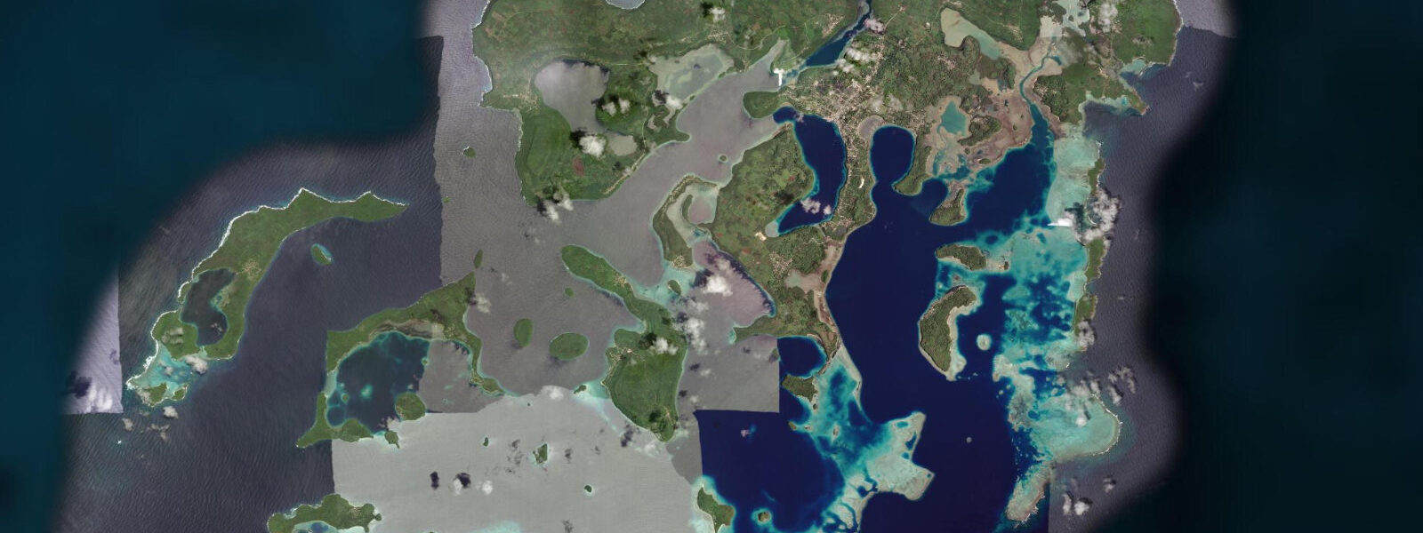
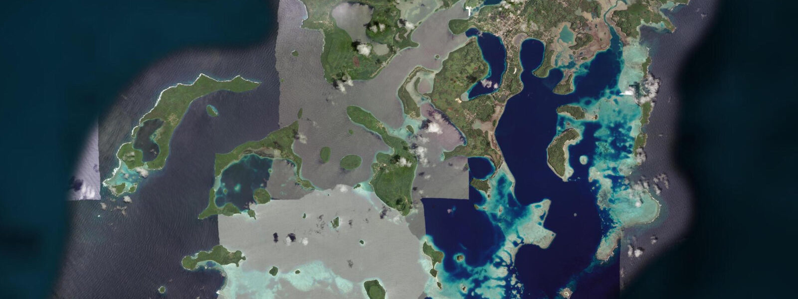
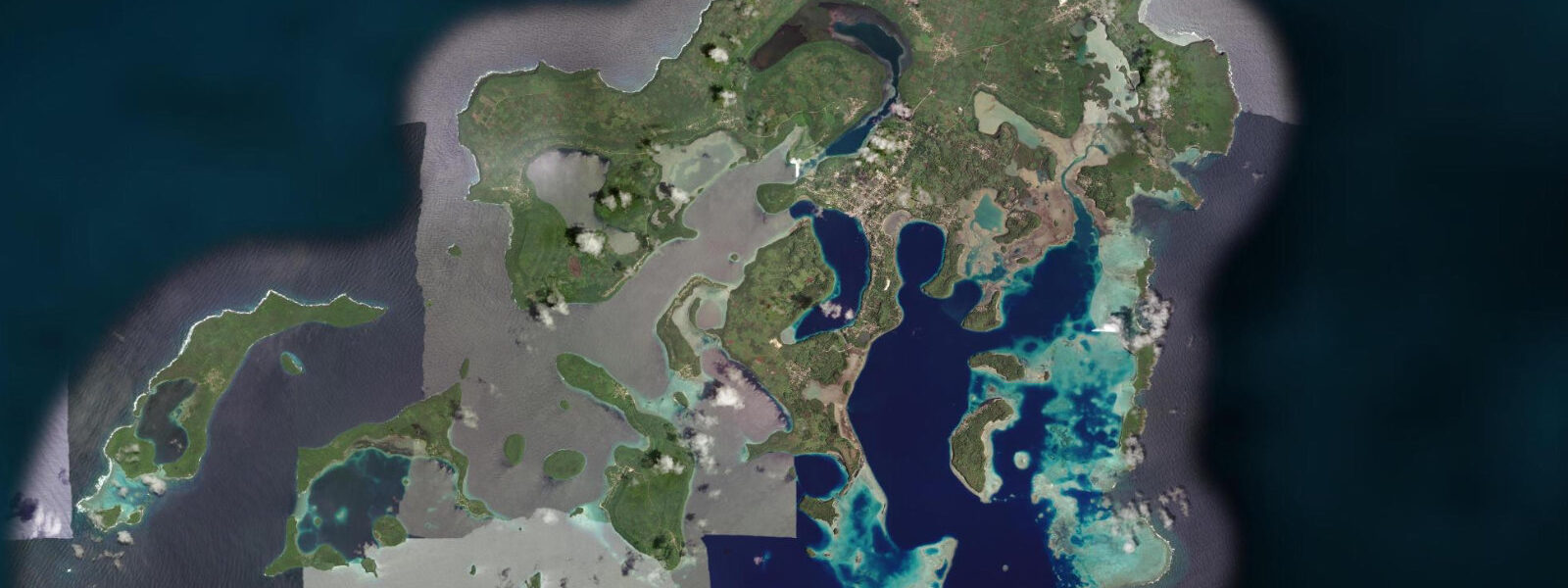
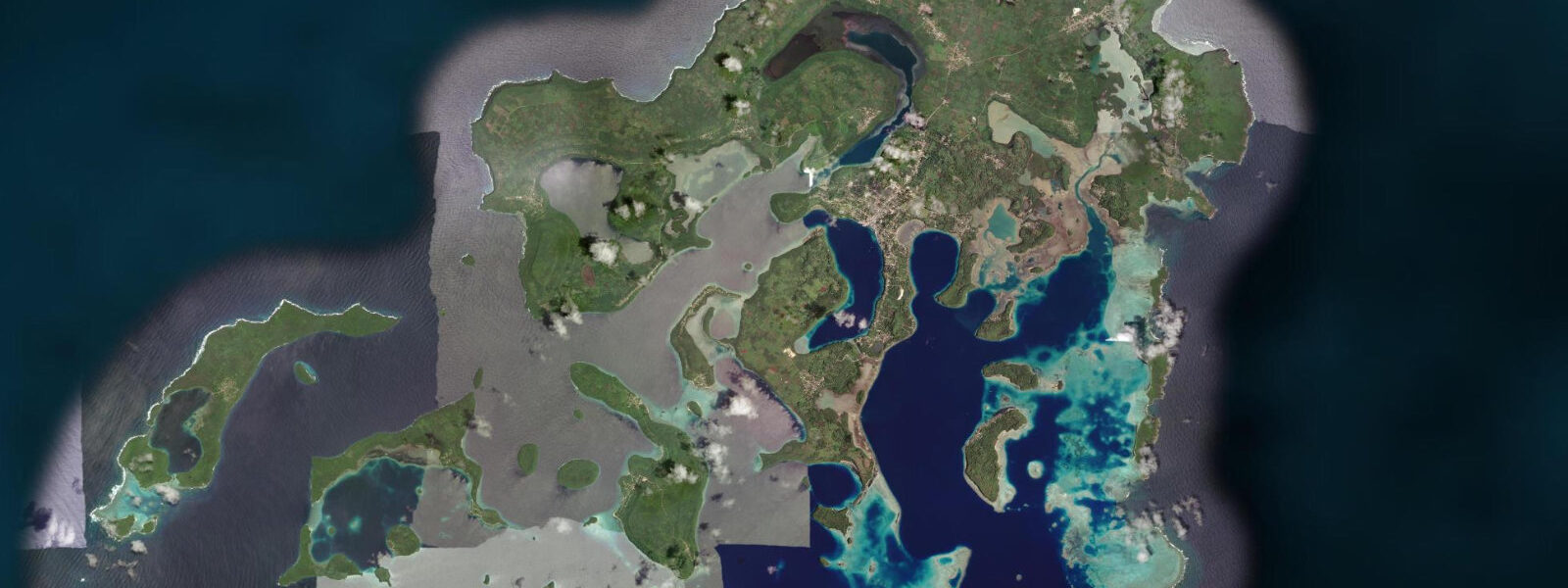
Port Maurelle is a sheltered anchorage in the inner Vava'u group, a natural harbour formed by the meeting of limestone islands and enclosed reef that characterises the southern portion of the Vava'u channel system. The harbour takes its name from Francisco Antonio Maurelle, the Spanish navigator whose 1781 voyage through the Vava'u group produced the first European chart of the anchorage system. Captain William Bligh, arriving nine years later in 1791 on his second breadfruit voyage, added his own survey data to the existing chart. The names Bligh and Maurelle run through Vava'u's navigational history in this layered way; the anchorage at Port Maurelle was already well-documented by the time the Tongan kingdom formalised its relationship with European traders in the nineteenth century.
The modern use of Port Maurelle is almost exclusively as a yacht anchorage. The Vava'u group is one of the canonical Pacific cruising grounds — the enclosed inner harbour, the reef-protected channels, the reliable southeast trade wind, and the humpback whale season combine to make it a destination that repeats in the logbooks of Pacific circumnavigators. Port Maurelle sits inside the most sheltered portion of the Vava'u channel network, offering good holding over sand in 5 to 10 metres, protection from southeast swell by the limestone hills to the east, and access by dinghy to the Swallows Cave site on Kapa Island 2 kilometres to the north.
Tide data for Port Maurelle comes from Open-Meteo Marine's global ocean model. Timing accuracy is within ±45 minutes; height accuracy is within ±0.2 to 0.3 metres. The Vava'u group experiences mixed semidiurnal tides with a spring range of 1.0 to 1.5 metres — moderate by Pacific island standards. Two unequal high tides and two unequal low tides per day. The tidal current inside the enclosed harbour is light; the stronger flow runs through the outer passages of the island group, where the tidal exchange between the enclosed inner harbour and the open ocean moves through narrow reef gaps.
For kayakers, Port Maurelle is the preferred base in the Vava'u inner island group. The enclosed water northeast of the anchorage extends for several kilometres before reaching the outer reef passages — flat water, calm conditions except in squally weather, with a series of small limestone islands and beaches accessible on a half-day circuit. The Swallows Cave on Kapa Island is a 45-minute paddle from the anchorage. Sea kayak hire is available from operators in Neiafu, 8 kilometres to the north; the paddle from Neiafu to Port Maurelle via the inner channel is a standard half-day route.
For snorkellers, the reef sections immediately north of Port Maurelle's anchorage are accessible by dinghy. The reef in this area is at 1.0 to 4.0 metres at high water, with coral in reasonable condition considering the boat traffic. Low tide exposes some of the reef top; the window for comfortable snorkelling is the two hours around high water. Water clarity in the inner channel averages 10 to 20 metres — lower than the outer reef faces but adequate for snorkel-level visibility.
Humpback whales use the Vava'u inner channel system from July through October as a calving and breeding ground. The enclosed, warm-water environment of the inner harbour is preferred by females with calves; Port Maurelle is within the core humpback area. In peak season (August to September), whales can be observed from the anchorage itself — blowing in the channel, breaching on the outer passages, and occasionally approaching anchored yachts. Swim-with-whale operations licensed by the Tongan government operate out of Neiafu; the Port Maurelle anchorage is inside their operating zone.
The limestone cave system in the hills above Port Maurelle is partially accessible on foot from the shore, though the trails are unmarked and local knowledge is needed to navigate the forest above the anchorage. The caves contain stalactite and stalagmite formations and hold significant bat colonies that emerge at dusk — the brown bat's flight over the harbour at sunset is a reliable anchorage evening event.
Vava'u's outer reef, reached through the Ava Pulepule or the Hunga passages 5 to 8 kilometres east of Port Maurelle, offers ocean diving on walls and channels that see blue water pelagic species. The passage diving is tide-dependent: the incoming tide brings oceanic visibility and the species that follow the current. Neiafu's dive operators run these sites with tidal timing as the core planning variable.
Tide questions about Port Maurelle, Vava'u
Quick answers to the most common questions about tide times, range, and water access at Port Maurelle, Vava'u.
What tidal range applies at Port Maurelle and how does it affect anchoring?
Port Maurelle experiences mixed semidiurnal tides with a spring range of 1.0 to 1.5 metres. The tidal current inside the enclosed harbour is light — the main tidal exchange flows through the outer passages of the Vava'u group rather than through the inner anchorage. Vessels anchor in 5 to 10 metres over sand with good holding in most conditions. On spring tides the water level change of 1.0 to 1.5 metres requires adequate scope adjustment; a minimum 5:1 scope-to-depth ratio on a CQR or Delta anchor holds well. Tide data is from Open-Meteo Marine — accuracy ±45 minutes and ±0.2 to 0.3 metres.
Can I see humpback whales from the Port Maurelle anchorage?
During the Tongan humpback season (July to October, peak August to September), whales use the inner Vava'u channel system as a calving and breeding ground. In peak season, whales can be observed from the anchorage itself — blowing in the channel, breaching in the outer passages, and on occasion approaching anchored vessels. The enclosed warm-water environment of the inner harbour is preferred by females with calves. Licensed swim-with-whale operators from Neiafu work this area; the number of boats permitted in the water with a single whale group is regulated by the Tongan government. Bookings fill quickly in August to September peak.
How do I get to Port Maurelle from Neiafu?
Neiafu is the main town and services hub of Vava'u, 8 kilometres north of Port Maurelle by water. By yacht, the inner channel route from Neiafu to Port Maurelle is a straightforward 45-minute sail or motor in settled conditions. By kayak from Neiafu, the standard route through the inner islands takes 2 to 3 hours. Day visitors from Neiafu can charter a local boat or join tour operators running kayak day trips to the inner island anchorages. There is no road access to Port Maurelle — the island group has no road network connecting the outer islands to Neiafu.
Is Port Maurelle suitable as a base for multi-day sailing in the Vava'u group?
Port Maurelle is one of the most popular inner anchorages in the Vava'u group for sailing itineraries. Its position gives access to the Swallows Cave on Kapa Island (2 kilometres north), the inner channel kayaking circuit, and the outer reef passages for ocean sailing or dive day trips. The anchorage itself is well-protected from the southeast trade wind, the holding is reliable, and the visual environment — limestone hills, clear blue water, the cave system above — makes it a comfortable two to three night stop. Charter yacht operators out of Neiafu include Port Maurelle as a standard overnight in standard 7-day Vava'u itineraries.
What snorkelling is available at Port Maurelle?
The reef sections north of the Port Maurelle anchorage are accessible by dinghy. Reef depth at high water runs 1.0 to 4.0 metres — workable for snorkelling. The two hours around high tide are the recommended window before the reef top shallows on the ebb. Water clarity in the inner channel averages 10 to 20 metres — less than the outer reef walls but adequate for reef snorkelling. Coral condition is reasonable despite the boat traffic; the better-preserved coral sections are on the seaward faces of the small limestone islands north of the anchorage, accessible by a 5-minute dinghy run from the main anchoring area.
7-day tide table — Port Maurelle, Vava'u
Heights relative to MSL. Predictions: Open-Meteo Marine (MeteoFrance SMOC, 0.08° grid) — heights relative to MSL (not chart datum / LAT). Model-derived.
| Day | Type | Time | Height |
|---|---|---|---|
| Mon 06 Jul | Low | 04:06 | 0.3m |
| High | 10:12 | 1.1m | |
| Low | 16:35 | 0.2m | |
| High | 22:51 | 1.1m | |
| Tue 07 Jul | Low | 04:54 | 0.3m |
| High | 11:03 | 1.1m | |
| Low | 17:18 | 0.3m | |
| High | 23:36 | 1.1m | |
| Wed 08 Jul | Low | 05:43 | 0.3m |
| High | 11:56 | 1.1m | |
| Low | 18:00 | 0.3m | |
| Thu 09 Jul | High | 12:51 | 1.1m |
| Low | 18:55 | 0.3m | |
| Fri 10 Jul | High | 01:13 | 1.2m |
| Low | 07:36 | 0.3m | |
| High | 13:46 | 1.1m | |
| Low | 19:46 | 0.3m | |
| Sat 11 Jul | High | 02:08 | 1.2m |
| Low | 08:35 | 0.2m | |
| High | 14:45 | 1.1m | |
| Low | 20:40 | 0.3m | |
| Sun 12 Jul | High | 03:00 | 1.3m |