
Koh Tao tide times
Koh Tao tide forecast — heights relative to MSL.
Tide chart for Koh Tao
24-hour cosine-interpolated curve around the present moment. Heights relative to MSL. Predictions: Predictions: Open-Meteo Marine (MeteoFrance SMOC, 0.08° grid).
Sun, moon and conditions on Sun 21 Jun
Snapshot at build time — refreshes daily. Sea state from Open-Meteo Marine.
Highs and lows next 7 days
Every predicted high and low for the next week, with the daily tidal coefficient (0–120; higher = bigger swing, > 95 means stronger currents).
Other spots nearby
The three closest curated TideTurtle locations to Koh Tao, measured by great-circle distance.
Today's solunar windows
Solunar tradition: major periods are the ≈3h windows around moon transit and opposition; minor are ≈2h around moonrise and moonset. Pair with the local tide stage and wind for the best read.
About tides at Koh Tao
A short guide to the coastline at Koh Tao — geography, sea state, and what the tide is actually doing under your feet.
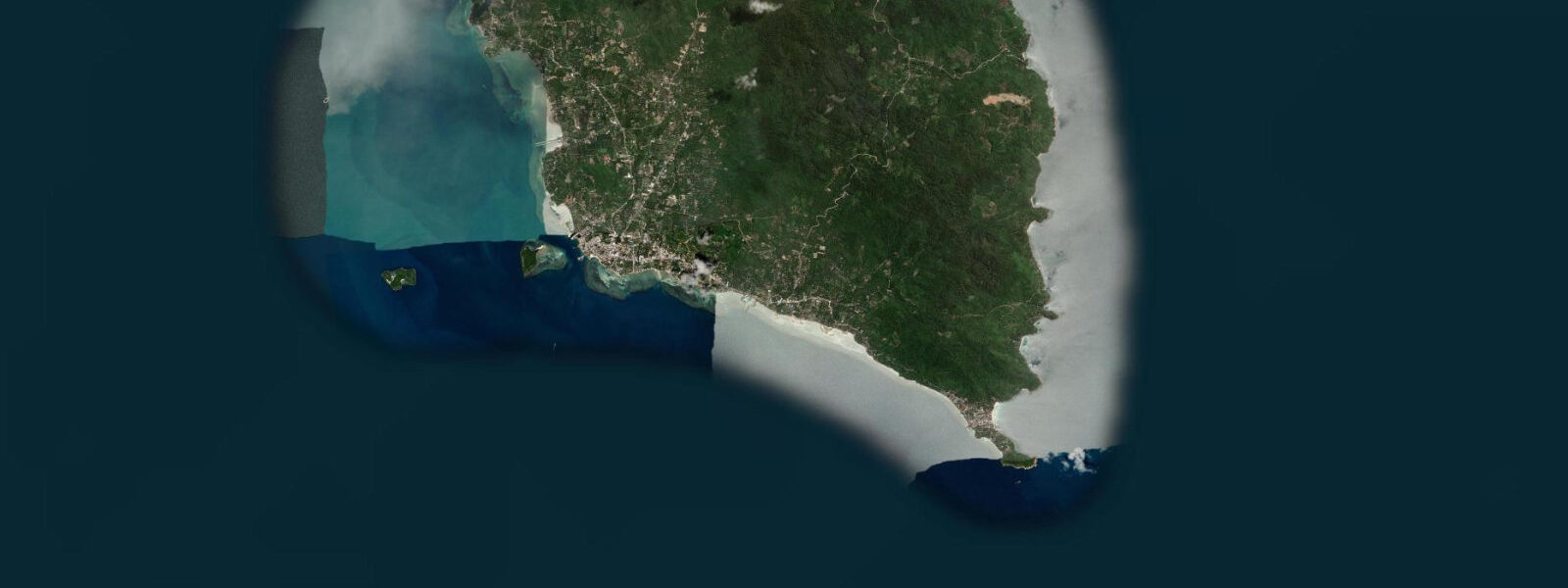
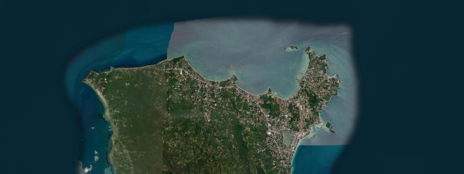
Koh Tao is the smallest and most northerly of the three main islands in the Samui archipelago, 40 km north of Koh Pha-ngan and 80 km east of the Chumphon coast. The island is 8 km long and 3 km wide at its widest, shaped roughly like a teardrop with the bay of Mae Haad — the main pier — indenting the west coast. Koh Tao has become the most concentrated scuba diving learning environment in Southeast Asia; over 60 dive schools operate on the island and offer Open Water certification courses year-round.
The dive site infrastructure is genuinely extensive: Chumphon Pinnacle (12 km NW), Southwest Pinnacle, Sail Rock (halfway to Ko Pha-ngan), Shark Island at the south tip, and more than 20 named sites in the shallower waters around the island itself. The tidal signal at Koh Tao is the smallest of the three main islands. The further north in the Gulf of Thailand, the weaker the tidal amplitude becomes, because the Gulf's semi-enclosed basin geometry means the tidal wave decays over the propagation distance from the south.
2 m or less. At that amplitude, the tidal state has negligible bearing on beach width, pier access, or boat operations. What the tidal cycle does produce, even with this modest range, is a directional current around the island's rocky headlands and between the offshore pinnacles.
0 knots on a spring ebb; the dive guides time drift dives to the current direction, not to the height of the tide. The pinnacles themselves rise from 30–40 m depth; the dive at Chumphon Pinnacle starts at the shallowest point at 14 m and goes down to 36 m on the main structure. Sail Rock is a seamount with a vertical swim-through chimney — a passage from 18 m to 5 m inside the rock — and halocline layers where freshwater mixing creates visibility distortion.
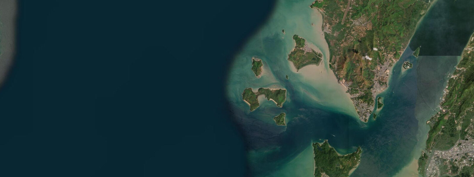
Visibility at the Koh Tao sites varies seasonally: November through April (NE monsoon season) brings the clearest water — typically 20–30 m at the offshore pinnacles — as the northeast wind keeps the coast stable and particulate matter settles. May through October visibility drops at some shallow sites as the SW monsoon stirs the water, though the offshore pinnacles and Sail Rock maintain 15–25 m even in SW monsoon periods. The west coast bay of Koh Nang Yuan — three small islands connected by sandbars, accessible by a 10-minute longtail from Mae Haad — is the most photographed scene on the island.
The sandbar connecting the islands is fully exposed at low tide and partially submerged at high tide; the walk across the bar is possible during the two to three hours either side of the predicted low. 3 m of water over it, manageable for most waders. Shore anglers work the rocky southern coast near Shark Island and the headlands east of Mae Haad; mackerel and trevally follow the tidal current around the rocky points.
The angler tradition that uses moon transits to rate fishing windows scores full-moon and new-moon spring periods more highly — the solunar tradition, applied here, aligns with the slightly stronger current produced by spring tides. 3 m. For a tidal range this small, that uncertainty is comparable to the signal itself.
Thai Meteorological Department (TMD) tables remain the authoritative reference for Thai waters.
Tide questions about Koh Tao
Quick answers to the most common questions about tide times, range, and water access at Koh Tao.
How does the tide affect diving at Koh Tao?
The tidal range at Koh Tao is small — spring range 0.4–0.8 m, neap range as low as 0.2 m. The height of the tide has almost no practical effect on dive site access or boat operations. What matters for diving is the tidal current: at Chumphon Pinnacle, Southwest Pinnacle, and the Twins, current can reach 0.5–1.0 knots on spring ebb and flood. Dive operators time drift dives to current direction and strength rather than high or low water. The current state at the offshore sites is best judged by local guides with knowledge of the site-specific pattern. Sail Rock (halfway to Ko Pha-ngan) is a seamount exposed to Gulf currents; the swim-through chimney is done on the ascent regardless of current. Visibility is the primary planning variable — November through April is the clearest season.
Can I walk across the sandbar at Koh Nang Yuan at low tide?
Yes. Koh Nang Yuan is three small islands connected by white sand bars, accessible by longtail from Mae Haad pier (10 minutes, 100 THB return). The sandbar connecting the northernmost island to the two southern ones is fully exposed at low water; the sandbar between the two southern islands is only exposed at low spring. With a spring range of 0.4–0.8 m at Koh Tao, the tidal window for crossing on foot is generous — even at mid-tide the sandbar sits under only 0.2–0.3 m. Check the predicted low on this page; the walk is comfortable in the two to three hours centred on predicted low water. No diving equipment, plastic bottles, or food are allowed on Koh Nang Yuan — the islands enforce their own conservation rules.
Why is Koh Tao so popular for learning to dive?
Koh Tao's combination of geography, conditions, and price created a self-reinforcing ecosystem. The underwater topography — sloping sandy bays on the west coast for Open Water training dives, multiple offshore pinnacles with reliably gentle conditions — suits both beginners and advanced divers. Visibility in the NE monsoon season (November–April) averages 20–30 m at the offshore sites. The small tidal range means boats can use fixed moorings rather than tide-adjusted anchoring, simplifying dive logistics. Price competition between 60+ dive schools has driven course costs to among the lowest in the world for a reputable certification. The island infrastructure built around diving — accommodation, transport, equipment rental — reinforces the loop. Water temperature runs 27–30°C year-round.
What is the best season to visit Koh Tao?
The NE monsoon season, November through April, is the primary high season. Northeast winds keep the west coast bays calm, visibility at the offshore pinnacles peaks at 20–30 m, and the gulf is at its clearest. March and April are particularly good months: the NE monsoon eases, water is warm (30°C), and crowds thin from the January peak. May marks the transition to the SW monsoon; some west-coast beaches experience minor swell and conditions at shallow sites can deteriorate. June through October is manageable but variable — some dive sites on the west and north close on rougher days, but the offshore pinnacles remain diveable through most of the SW monsoon season. The island never fully closes.
Where do the tide predictions for Koh Tao come from?
Predictions on this page are from Open-Meteo Marine, a free gridded global ocean model, with typical accuracy of ±45 minutes on timing and ±0.2–0.3 m on height. At Koh Tao, where spring range is 0.4–0.8 m, the model uncertainty can equal a substantial fraction of the actual signal. The tidal state matters less here than at most coastal destinations — what matters more is wind forecast, swell height, and current at specific dive sites. The Thai Meteorological Department (TMD) publishes official tide tables for Thai waters and is the authoritative source. Dive operators on the island have site-specific current knowledge that is more operationally useful than any tide prediction model.
8-day tide table — Koh Tao
Heights relative to MSL. Predictions: Open-Meteo Marine (MeteoFrance SMOC, 0.08° grid) — heights relative to MSL (not chart datum / LAT). Model-derived.
| Day | Type | Time | Height |
|---|---|---|---|
| Sun 21 Jun | — | ||
| Mon 22 Jun | High | 02:10 | 1.0m |
| Low | 10:54 | 0.1m | |
| Tue 23 Jun | High | 02:15 | 0.8m |
| Wed 24 Jun | Low | 10:00 | 0.2m |
| High | 19:15 | 1.0m | |
| Thu 25 Jun | Low | 08:50 | 0.1m |
| High | 20:00 | 1.1m | |
| Fri 26 Jun | — | ||
| Sat 27 Jun | Low | 07:50 | -0.0m |
| High | 20:54 | 1.3m | |
| Sun 28 Jun | Low | 06:00 | 0.0m |