Koh Pha-ngan tide times
Koh Pha-ngan tide forecast — heights relative to MSL.
Today's tide times for Koh Pha-ngan
Tide times at Koh Pha-ngan on Sunday, 21 June 2026: first high tide at 07:00, first low tide at 11:10. Sunrise 06:00, sunset 18:42.
Tide chart for Koh Pha-ngan
24-hour cosine-interpolated curve around the present moment. Heights relative to MSL. Predictions: Predictions: Open-Meteo Marine (MeteoFrance SMOC, 0.08° grid).
Sun, moon and conditions on Sun 21 Jun
Snapshot at build time — refreshes daily. Sea state from Open-Meteo Marine.
Highs and lows next 7 days
Every predicted high and low for the next week, with the daily tidal coefficient (0–120; higher = bigger swing, > 95 means stronger currents).
Other spots nearby
The three closest curated TideTurtle locations to Koh Pha-ngan, measured by great-circle distance.

Today's solunar windows
Solunar tradition: major periods are the ≈3h windows around moon transit and opposition; minor are ≈2h around moonrise and moonset. Pair with the local tide stage and wind for the best read.
Cycle dates near Koh Pha-ngan
Next spring tide on Sat 27 Jun (range 1.2m). Last neap on Sun 21 Jun.
Spring tides cluster around new and full moons (biggest swings). Neap tides land on quarter moons (smallest swings). See the spring tide and neap tide glossary entries for the why.
About tides at Koh Pha-ngan
A short guide to the coastline at Koh Pha-ngan — geography, sea state, and what the tide is actually doing under your feet.
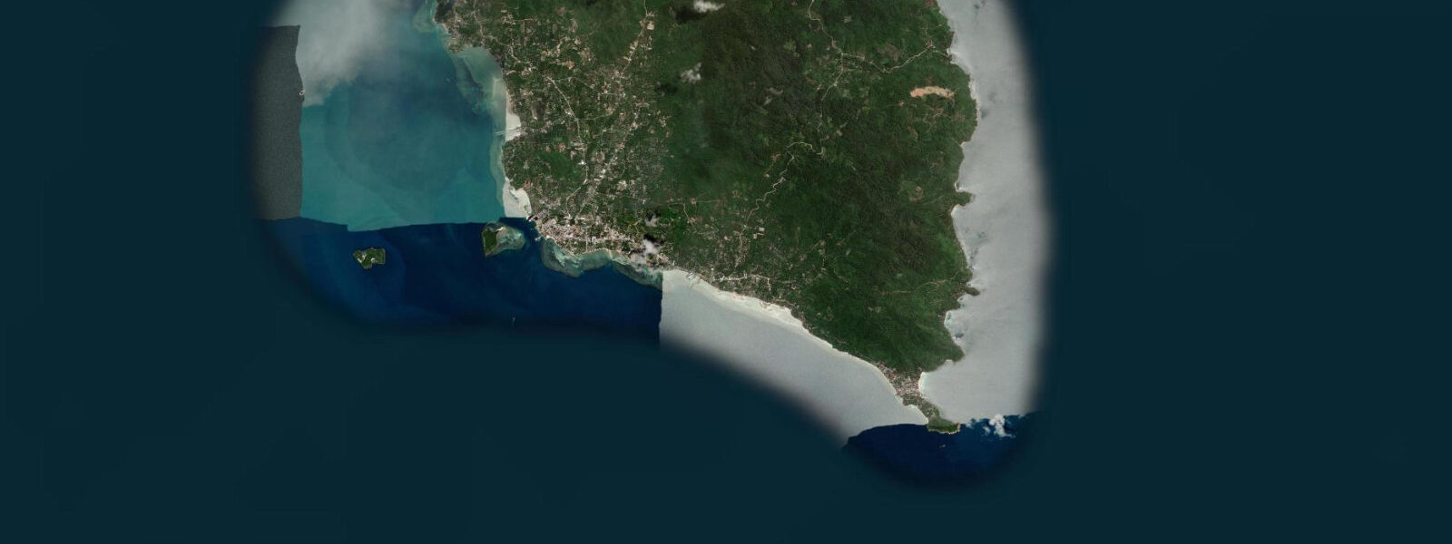
Koh Pha-ngan sits 20 km north of Koh Samui by ferry and 60 km northeast of the Surat Thani mainland. It is the middle island of the three main Gulf of Thailand islands in Surat Thani Province, smaller and less developed than Samui to the south, less remote than Koh Tao to the north. The island's international profile rests almost entirely on Hat Rin and the Full Moon Party — a monthly beach event that draws thousands to the southeastern headland on the night of the full moon.
The tidal context for that gathering is instructive. The Full Moon Party coincides with full moon, which is also a spring tide period. 5 m.
At high spring water — which is exactly when the full moon party begins, in the hours after moonrise — Hat Rin Nok (Sunrise Beach) can narrow to 10–15 m of dry sand between the water and the bars and food stalls behind the beach. By the small hours of the morning, when the ebb has run for 5–6 hours, the beach can widen to 40 m or more as the tide drops. The party itself creates enough ambient light and activity that most participants never notice the shift, but photographers and people looking for a clear piece of sand early in the evening should arrive before high water starts to push back the crowd.
Hat Rin Nok faces east toward the Gulf; Hat Rin Nai (Sunset Beach) faces west. The two beaches are separated by the narrow Hat Rin headland, walkable in ten minutes via the path across the peninsula. Hat Rin Nai is calmer and less crowded; it does not face the NE monsoon exposure and is generally swimmable year-round.
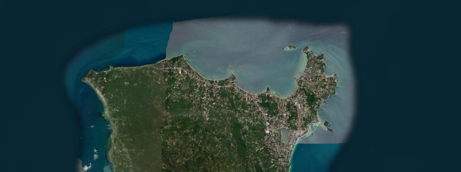
The northern half of Koh Pha-ngan is a different island in character. Thong Nai Pan Noi and Thong Nai Pan Yai — two bays separated by a headland on the NE coast — are accessible via a rough road that improves each year, or by longtail boat from Had Rin or Thong Sala (the main pier town on the west coast). Bottle Beach (Hat Khuat) on the north coast is accessible only by boat.
0 m on the worst days. The tidal flat at Thong Nai Pan Noi exposes 40–60 m at low spring, leaving clear water at wading depth far offshore. At low spring, longtail boat landings at the beach require passengers to wade 20–30 m.
Inland from the northern coast, Koh Pha-ngan has a central forested spine reaching 627 m at Khao Ra, accessible via a trail from Ban Madua Wan village on the north coast road. The hike takes 2–3 hours return; starting before 07:00 avoids the worst heat and gives a clear view east over the Gulf toward the Vietnamese coast on clear mornings. Shore fishing from the rocky points between Hat Rin and Haad Yuan on the SE coast is most productive on the flood tide; jack, mackerel, and snapper work the current around the headlands.
Kayak rental operates from Hat Rin and Thong Sala; the sheltered inner bay at Thong Sala is calm enough for beginner paddlers at all tidal stages. 5 m spring swing. Kayak rentals from the Thong Sala waterfront operate in the sheltered inner bay regardless of tidal stage.
3 m on height. Cross-reference with Thai Meteorological Department (TMD) tables for any safety-relevant planning.
Tide questions about Koh Pha-ngan
Quick answers to the most common questions about tide times, range, and water access at Koh Pha-ngan.
Does the Full Moon Party happen at high tide or low tide?
The Full Moon Party at Hat Rin Nok occurs monthly on the night of the full moon, which coincides with the spring tide period. At Koh Pha-ngan, spring high water runs 2.0–2.5 m above Chart Datum. Moonrise in the Gulf of Thailand at full moon typically occurs near local sunset (18:30–19:00), and the predicted high water on full-moon nights often falls in the early evening — meaning the party starts on a rising or near-high tide. Hat Rin Nok can narrow to 10–15 m of dry sand at high spring water. By the early hours of the morning, as the ebb runs, the beach widens to 35–45 m. The spring tide does not change the event, but it does change how much beach is available in the first few hours. Check the tide prediction for Hat Rin on the party date.
How do I get to the northern beaches (Thong Nai Pan, Bottle Beach) from Thong Sala?
Thong Sala is the main pier and transport hub on Koh Pha-ngan's west coast. To Thong Nai Pan Noi and Thong Nai Pan Yai: songthaew (shared pickup truck) from Thong Sala pier, 45–60 minutes on a rough but passable road, ~150 THB/person. To Bottle Beach (Hat Khuat): longtail boat from Had Salad pier or Chaloklum pier on the north coast, 15–20 minutes. Boat access to Bottle Beach is tidal-sensitive — at low spring the sand bar across the bay entrance is shallow and longtail boats may anchor offshore with a wade of 10–20 m. Check the predicted low-water time before planning a late-afternoon boat departure back to Chaloklum. At high water the approach is straightforward.
What is the tidal range at Koh Pha-ngan and how does it affect the beaches?
Spring range at Koh Pha-ngan is 2.0 to 2.5 m above Chart Datum; neap range is 0.5 to 0.8 m. The regime is mixed diurnal — on most days outside the equinox periods there is one dominant high and one dominant low per 24 hours. On a purely diurnal day, the tide turns once in each direction over 24 hours rather than 12.4. During neap periods (May–August in the Gulf summer), the daily swing can fall below 0.5 m — beach width changes minimally. On the north coast beaches (Thong Nai Pan, Bottle Beach), the wide tidal flats mean the difference between high and low spring water is 50–60 m of beach exposure. On the sheltered west coast (Thong Sala, Ban Tai), the tidal signature is similar in range but the beach gradient is lower, so the waterline moves less dramatically.
Where do the tide predictions for Koh Pha-ngan come from?
Predictions on this page are from Open-Meteo Marine, a free gridded global ocean model. Accuracy is typically ±45 minutes on timing and ±0.2–0.3 m on height — sufficient for beach planning, snorkelling windows, and boat landing times, but not for navigation. The Thai Meteorological Department (TMD) publishes official tide tables for Thai coastal waters and is the authoritative reference. For the Gulf of Thailand's mixed diurnal regime, official tables are especially useful around the equinoxes when the diurnal/semidiurnal character shifts and a single predicted high or low can look unusual in the gridded model output.
Is Koh Pha-ngan suitable for snorkelling and kayaking?
Koh Pha-ngan has good snorkelling off the eastern headlands (Haad Yuan, Haad Thian) and at several sites on the north coast near Had Khom and the shallow reef at Koh Ma (a small island connected to the NW coast by a sandbar at low tide). The sandbar at Koh Ma is fully exposed at low spring — walkable on foot for about 2 hours either side of low water. Kayaking is practical from Thong Sala and from the northern bays; the sheltered west coast is calm year-round in the NE monsoon season. The east coast bays are exposed in NE monsoon months (November–January) with 0.5–1.0 m swell. For snorkelling the reef sites, mid-to-high tide gives the most comfortable depth over the shallow coral.
8-day tide table — Koh Pha-ngan
Heights relative to MSL. Predictions: Open-Meteo Marine (MeteoFrance SMOC, 0.08° grid) — heights relative to MSL (not chart datum / LAT). Model-derived.
| Day | Type | Time | Height |
|---|---|---|---|
| Sun 21 Jun | High | 07:00 | 0.6m |
| Low | 11:10 | 0.1m | |
| Mon 22 Jun | — | ||
| Tue 23 Jun | High | 02:54 | 0.8m |
| Low | 10:38 | 0.2m | |
| High | 18:50 | 0.8m | |
| Wed 24 Jun | Low | 10:18 | 0.2m |
| High | 19:00 | 0.9m | |
| Thu 25 Jun | Low | 09:40 | 0.1m |
| High | 20:00 | 1.1m | |
| Fri 26 Jun | — | ||
| Sat 27 Jun | Low | 08:00 | 0.1m |
| High | 21:00 | 1.3m | |
| Sun 28 Jun | Low | 06:00 | 0.1m |