Negombo, Sri Lanka tide times
Negombo, Sri Lanka tide forecast — heights relative to MSL.
Today's tide times for Negombo, Sri Lanka
Tide times at Negombo, Sri Lanka on Friday, 19 June 2026: first high tide at 05:30am, first low tide at 09:50am, second high tide at 04:10pm, second low tide at 10:48pm. Sunrise 05:55am, sunset 06:28pm.
Tide chart for Negombo, Sri Lanka
24-hour cosine-interpolated curve around the present moment. Heights relative to MSL. Predictions: Predictions: Open-Meteo Marine (MeteoFrance SMOC, 0.08° grid).
Sun, moon and conditions on Fri 19 Jun
Snapshot at build time — refreshes daily. Sea state from Open-Meteo Marine.
Highs and lows next 7 days
Every predicted high and low for the next week, with the daily tidal coefficient (0–120; higher = bigger swing, > 95 means stronger currents).
Other spots nearby
The three closest curated TideTurtle locations to Negombo, Sri Lanka, measured by great-circle distance.
Today's solunar windows
Solunar tradition: major periods are the ≈3h windows around moon transit and opposition; minor are ≈2h around moonrise and moonset. Pair with the local tide stage and wind for the best read.
Cycle dates near Negombo, Sri Lanka
Last spring tide on Fri 19 Jun (range 0.6m). Next neap on Thu 25 Jun.
Spring tides cluster around new and full moons (biggest swings). Neap tides land on quarter moons (smallest swings). See the spring tide and neap tide glossary entries for the why.
About tides at Negombo, Sri Lanka
A short guide to the coastline at Negombo, Sri Lanka — geography, sea state, and what the tide is actually doing under your feet.
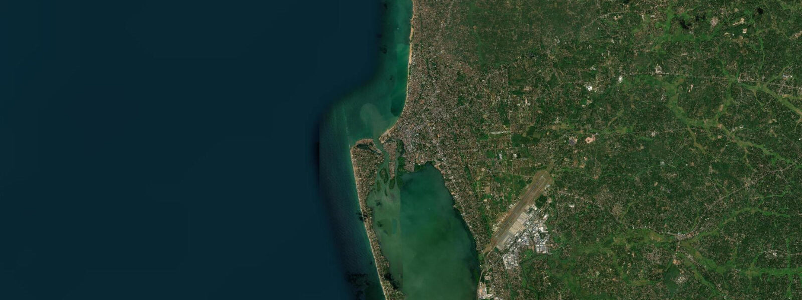
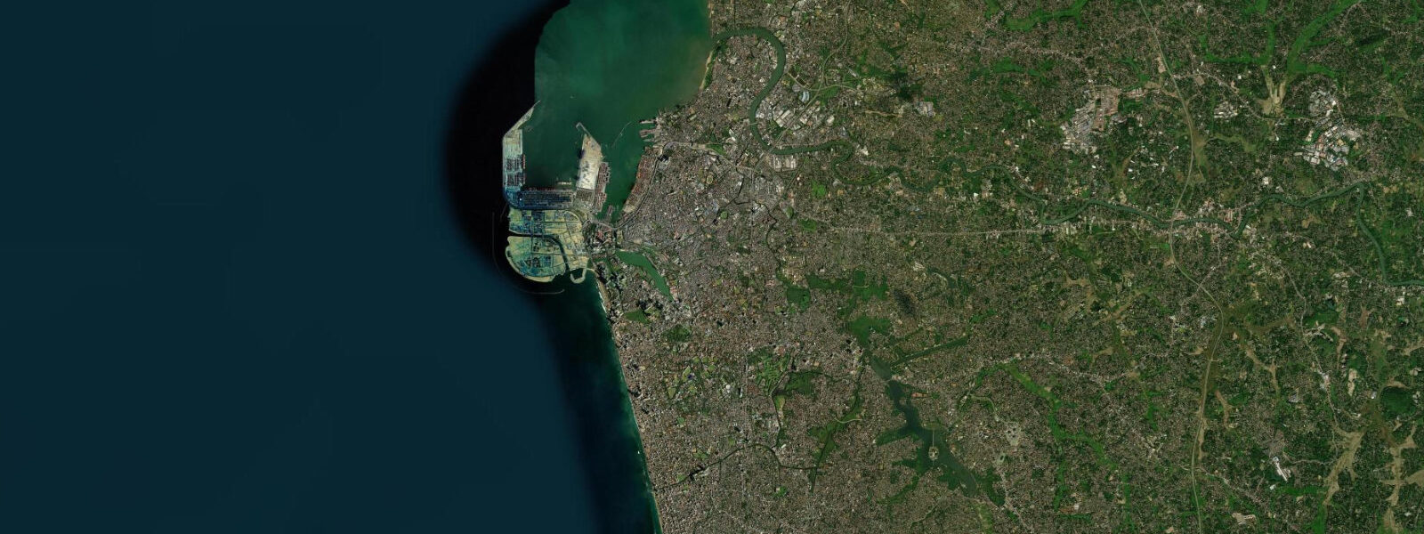
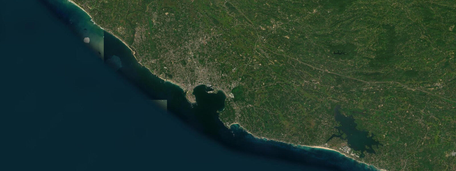
Negombo sits on Sri Lanka's west coast 35 km north of Colombo and 7 km from Bandaranaike International Airport — close enough that international arrivals sometimes come here directly instead of continuing into the capital. The Indian Ocean along the Western Province coast is sheltered by geography; the tidal range here is modest compared with most of the world's open-ocean coasts. Mean spring range runs 0.3–0.5 m, so the difference between high and low water at Negombo beach is roughly 0.4 m at springs and less than 0.2 m at neaps. Two tidal cycles per day arrive with a slight inequality in height between the two highs. For beach users and swimmers this means the waterline shifts by 15–20 m across the full tidal range — noticeable but not dramatic. The widest stretch of sand at Poruthota Road beach appears at low spring water, typically early morning or mid-afternoon depending on the day.
The more significant tidal story at Negombo is not the beach but Negombo Lagoon. The lagoon is a 46 km tidal inlet running south from the city, connected to the sea at the Negombo estuary mouth. Twice daily the flood tide pushes Indian Ocean water through the estuary channel into the lagoon; the ebb pulls it back. This exchange drives dissolved oxygen and nutrients into the shallows, and with them the fish. Mullet shoal near the estuary mouth on the incoming tide and move deeper into the lagoon as the water rises. Snook hold near channel edges and move onto the shallower margins as the tide tops out. The fishermen who have worked these waters for generations know the pattern by instinct. Most of the active handline and net fishing in the lagoon takes place in the two hours either side of the tidal turn — the slack water periods at high and low are less productive.
The oruwa — the outrigger catamaran indigenous to this stretch of coast — is still the working vessel here. Narrow hull, single outrigger float, a small sail or outboard engine, and a crew of two or three. The boats are light enough to beach-launch without a ramp and stable enough to work the lagoon channels in any weather the west coast delivers. Many families in the Negombo Catholic community have maintained these vessels across several generations. Over 70% of Negombo's population is Catholic — a direct legacy of Portuguese missionary activity in the 16th century — and the fishing community marks its calendar around both the tides and the church. The blessing of the fleet on feast days, particularly the feast of St Sebastian, draws the oruwa out in procession with flags and incense.
The Dutch Canal — formally the Hamilton Canal — runs north from the lagoon toward Puttalam, built by the Dutch East India Company in the 17th century to move cargo along the coast without exposing vessels to the open sea. The canal is tidal for part of its southern length, so water levels in it track the lagoon and, indirectly, the estuary tide. Today it carries local boat traffic and functions as a quiet kayak route through village backwaters; the tidal influence means the current direction reverses twice daily near the southern end.
The Lewis Place fish market opens at 04:00 and runs hard until about 07:00. Overnight boats returning from offshore fishing grounds land their catch in that window; the lagoon boats follow later in the morning as the first flood tide completes. For buyers — traders, restaurants, households — arriving at 04:30 gives access to the full spread before the best catch is gone. The market is a working dock, not a tourist attraction; the pace is fast and the price negotiation is in Sinhala or Tamil. Visitors are not excluded but they are not catered to.
For anglers visiting Negombo, the incoming tide at the estuary mouth is the prime window for mullet and snook. Early morning spring tides produce the strongest current flow and the most reliable fish movement. The lagoon channel edges hold fish through the flood; as the tide falls back, fish retreat from the shallows toward the deeper channel. Beach fishing from Poruthota Road on the open sea side is a different proposition — the low surf and sheltered conditions limit target species, but queenfish and small trevally show on an active tide.
For families, the beach at Poruthota Road is practical and calm — the west-coast swell is minimal compared with the south and east coasts, and the tidal variation is gentle enough that a sandcastle built at mid-tide survives until afternoon. The beach is widest at low spring water, which on many days falls in the early morning and again in the early evening.
Photographers working the estuary at dawn catch the oruwa returning from night fishing against the light — the boats beach directly on the estuary sandbar as the tide drops, and the fish baskets are carried up to the road by hand.
Tide data for Negombo, Sri Lanka comes from the Open-Meteo Marine API, a gridded model product. Timing accuracy is ±45 minutes, height accuracy ±0.3 m — usable for trip planning, not for navigation.
Tide questions about Negombo, Sri Lanka
Quick answers to the most common questions about tide times, range, and water access at Negombo, Sri Lanka.
What is the tidal range at Negombo and how does it affect the beach?
Negombo sits on Sri Lanka's sheltered west coast, where the Indian Ocean tidal range is among the smallest in the region. Mean spring range is 0.3–0.5 m — at the top of springs, the difference between high and low water is roughly 0.4 m. At Poruthota Road beach this translates to about 15–20 m of additional sand exposed at low spring water. For swimmers and sunbathers the change is gradual and predictable. The widest beach occurs at low spring water, which falls at different times each day as the tidal cycle progresses through the semidiurnal pattern. Two tidal highs and two lows occur per day, with a slight inequality in height between the two daily highs.
When is the best time to fish in Negombo Lagoon?
The most productive windows in Negombo Lagoon are the two hours either side of the tidal turn — just before and just after high water, and the same period around low water. The incoming tide pushes nutrient-rich water through the estuary mouth, triggering mullet and snook activity near the channel edges and shallow margins. As the tide peaks and begins to fall, fish follow the receding water back toward the deeper channel. Early morning spring tides produce the strongest tidal current and the most consistent fish movement. Fishing the ebb from the estuary mouth on a spring low — when the current is running hard — is the traditional choice of the oruwa fishermen who have worked these waters for generations.
What is the Lewis Place fish market and when does it operate?
The Lewis Place fish market is the main landing and trading point for Negombo's fishing fleet. It opens at 04:00 and the main activity runs until approximately 07:00. Overnight offshore boats land their catch first, typically between 04:00 and 06:00; lagoon boats follow later in the morning after the first flood tide completes. The market is a working commercial space — fish, ice, traders, and fast negotiation. Arriving at 04:30 gives access to the broadest selection before preferred catch is bought up. The market is open to visitors but operates entirely on its own schedule; there is no guided or tourist-oriented component.
What is the Dutch Canal and how does it connect to the tides?
The Dutch Canal — also called the Hamilton Canal — was built by the Dutch East India Company in the 17th century to allow coastal cargo movement without exposing vessels to open-sea conditions. It runs north from Negombo Lagoon toward Puttalam along a route parallel to the coast. The southern section of the canal is tidal: water levels track the lagoon, which in turn tracks the estuary tide. Current direction in the southern canal reverses twice daily on a roughly six-hour cycle. Today the canal is used by small local boats and is navigable by kayak; paddling the southern section on the flood gives a downstream assist northward, while the ebb runs the opposite direction. Timing a kayak trip around the tidal current adds meaningful speed on either leg.
How accurate are the tide predictions for Negombo?
Tide times and heights for Negombo come from the Open-Meteo Marine API, a global gridded ocean model. For the western Sri Lanka coast, timing accuracy is approximately ±45 minutes relative to observed tidal events, and height accuracy is approximately ±0.3 m. Given that Negombo's mean spring range is only 0.3–0.5 m, a height error of 0.3 m is a meaningful fraction of the total range — treat height predictions as approximate guidance rather than precise measurement. For trip planning, beach timing, and fishing-window estimates, the predictions are reliable enough. For navigation, vessel clearance calculations, or safety-critical timing, use official hydrographic authority tide tables and verify locally.
7-day tide table — Negombo, Sri Lanka
Heights relative to MSL. Predictions: Open-Meteo Marine (MeteoFrance SMOC, 0.08° grid) — heights relative to MSL (not chart datum / LAT). Model-derived.
| Day | Type | Time | Height |
|---|---|---|---|
| Fri 19 Jun | High | 05:30 | 0.6m |
| Low | 09:50 | 0.3m | |
| High | 16:10 | 0.8m | |
| Low | 22:48 | 0.3m | |
| Sat 20 Jun | High | 04:50 | 0.7m |
| Low | 10:24 | 0.3m | |
| High | 16:36 | 0.7m | |
| Low | 23:20 | 0.2m | |
| Sun 21 Jun | High | 05:40 | 0.6m |
| Low | 11:10 | 0.4m | |
| High | 17:24 | 0.7m | |
| Low | 23:48 | 0.3m | |
| Mon 22 Jun | High | 17:36 | 0.7m |
| Tue 23 Jun | Low | 00:30 | 0.3m |
| High | 18:30 | 0.6m | |
| Wed 24 Jun | Low | 01:30 | 0.3m |
| High | 09:20 | 0.7m | |
| Thu 25 Jun | Low | 02:40 | 0.3m |
| High | 10:40 | 0.6m | |
| Low | 18:30 | 0.4m |