Beruwala, Sri Lanka tide times
Beruwala, Sri Lanka tide forecast — heights relative to MSL.
Today's tide times for Beruwala, Sri Lanka
Tide times at Beruwala, Sri Lanka on Friday, 19 June 2026: first high tide at 04:20pm, first low tide at 10:50pm. Sunrise 05:56am, sunset 06:26pm.
Tide chart for Beruwala, Sri Lanka
24-hour cosine-interpolated curve around the present moment. Heights relative to MSL. Predictions: Predictions: Open-Meteo Marine (MeteoFrance SMOC, 0.08° grid).
Sun, moon and conditions on Fri 19 Jun
Snapshot at build time — refreshes daily. Sea state from Open-Meteo Marine.
Highs and lows next 7 days
Every predicted high and low for the next week, with the daily tidal coefficient (0–120; higher = bigger swing, > 95 means stronger currents).
Other spots nearby
The three closest curated TideTurtle locations to Beruwala, Sri Lanka, measured by great-circle distance.
Today's solunar windows
Solunar tradition: major periods are the ≈3h windows around moon transit and opposition; minor are ≈2h around moonrise and moonset. Pair with the local tide stage and wind for the best read.
Cycle dates near Beruwala, Sri Lanka
Last spring tide on Fri 19 Jun (range 0.5m). Next neap on Mon 22 Jun.
Spring tides cluster around new and full moons (biggest swings). Neap tides land on quarter moons (smallest swings). See the spring tide and neap tide glossary entries for the why.
About tides at Beruwala, Sri Lanka
A short guide to the coastline at Beruwala, Sri Lanka — geography, sea state, and what the tide is actually doing under your feet.
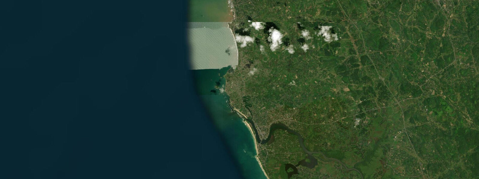
Beruwala is 60 km south of Colombo in Kalutara District, in Sri Lanka's Western Province. The Indian Ocean coast here faces west — open water to the horizon — but the tidal range is small by global standards. Mean spring range on the Western Province coast is 0.3–0.5 m, a consequence of the geometry of the northern Indian Ocean and Sri Lanka's position within the Bay of Bengal and Arabian Sea systems. Two tidal cycles arrive each day, with a slight height difference between the two daily highs. At low spring water the beach at Moragalla, the northern section of Beruwala's beach, extends 15–20 m beyond the high-water line. The change is modest but visible: sand that was knee-deep in water at high tide sits exposed and firm at low.
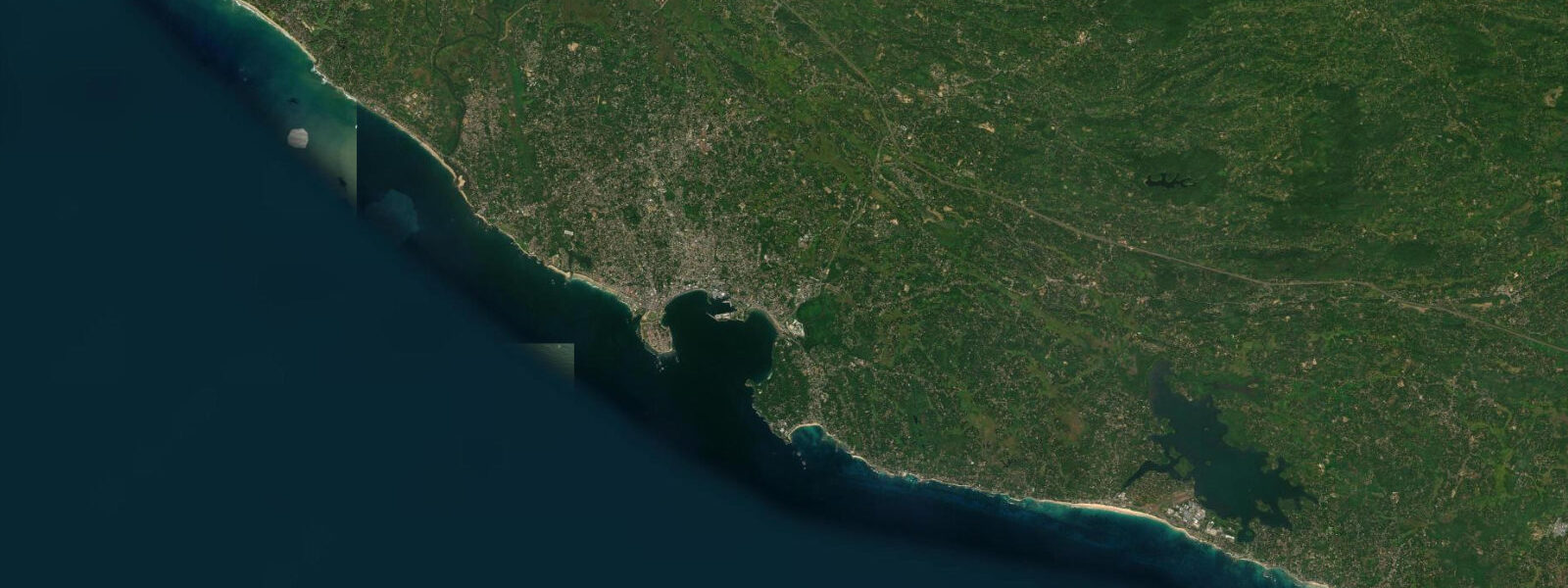
The tidal range at Beruwala carries a historical footnote that most tide-table users never consider. The Kachimalai Mosque stands on a rocky outcrop above the beach on the northern headland of Beruwala Bay. It was built there — on a rock that sits just above the high-water mark — because the Arab and Persian traders who established the original settlement in the 8th century CE chose a position that the sea would not claim. Beruwala is considered the site of the first Arab Muslim settlement in Sri Lanka, predating the arrival of the Portuguese by roughly 700 years. The mosque is the oldest in Sri Lanka. Its elevation above the tidal datum is small — the Western Province high-water line sits only 0.3–0.5 m above low water at springs — but the choice of a rock over a sand beach shows that the settlers understood tidal action and built to stay clear of it. At high spring water the base of the outcrop is washed; the mosque itself stands clear. The relationship between the building and the tide has remained the same for more than twelve centuries.
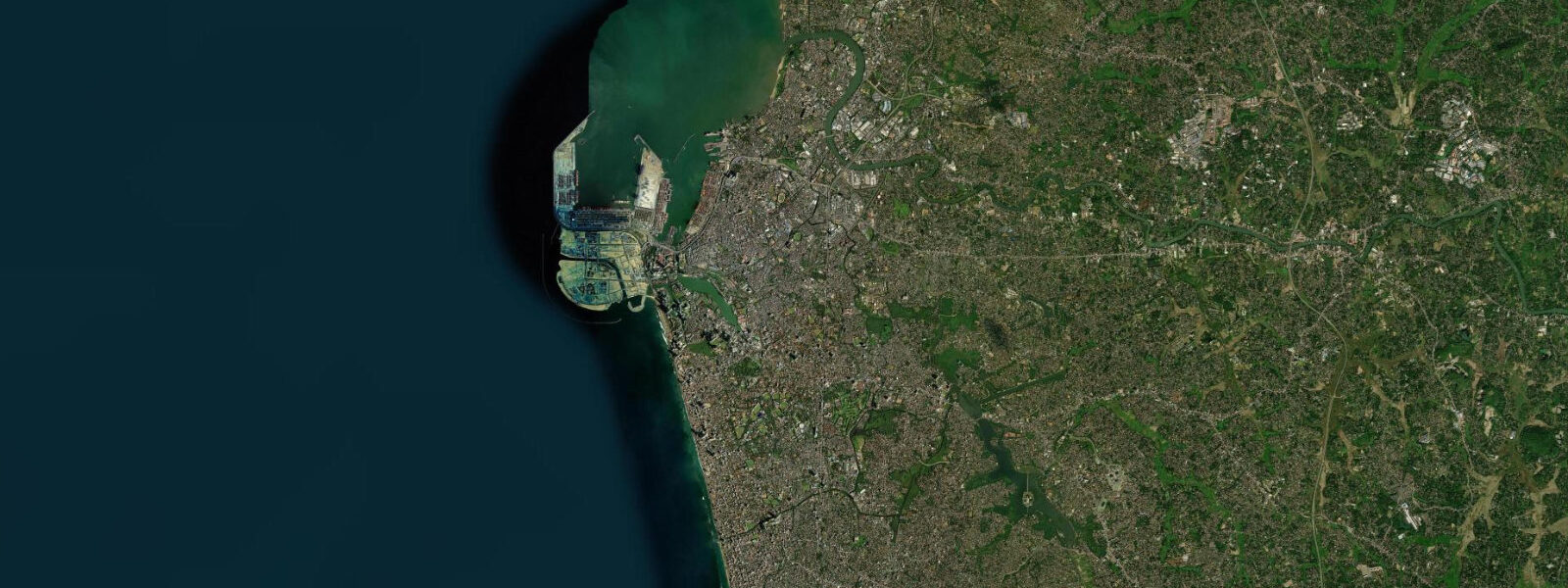
Beruwala Harbour is the second-largest fishing harbour in Sri Lanka, after Negombo. The fleet is mixed: deep-sea trawlers that work the offshore grounds for days at a time, beach seine operations that work the nearshore shallows with large nets hauled in by teams on the beach, and day-boat handliners that target reef fish in the inshore waters. The harbour operates around the clock during the main fishing seasons. The southwest monsoon closes the harbour to most offshore operations from May through August; the northeast monsoon season (November through March) is the most active fishing period. Harbour activity peaks in the pre-dawn hours when overnight boats return and in the late afternoon when day-boats land.
Shore fishing from Moragalla Beach and the rocks near the harbour entrance produces queenfish, snapper, and trevally, with the incoming tide being the preferred window. Queenfish hunt baitfish at the surface; they run actively on the flood when current is moving and the water is oxygenated. Snapper and trevally hold along structure — the rocky headlands, the harbour walls, and any reef ground — and feed more aggressively as the tide rises. Low light combined with an incoming tide (early morning or late evening) is the consistent peak window for shore fishing at Beruwala.
Barberyn Reef lies offshore from the bay. It is a wreck diving site as well as a natural reef, and boats run out to it from the harbour. Depth on the reef varies; the shallowest sections sit at 5–10 m, accessible on any tidal state, while the wreck sections go deeper. Slack water — the brief period at the tidal turn when current is minimal — is the standard time to enter the water for wreck diving, since tidal current at Beruwala, though modest in magnitude, still moves enough water to affect visibility and drift at depth.
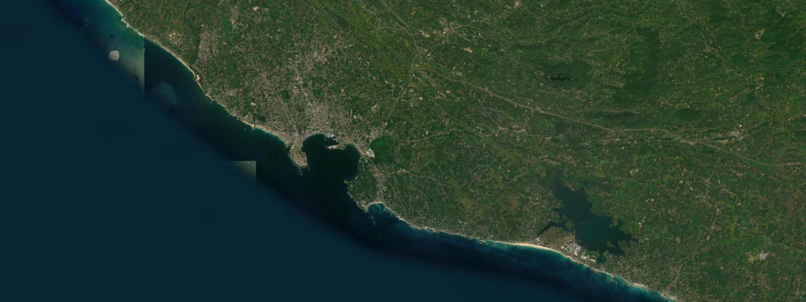
Bentota is 15 km south, where the Bentota River estuary forms a tidal lagoon used for water sports. The full stretch of coast between Beruwala and Bentota represents the northern edge of Sri Lanka's main beach tourism zone. Beruwala itself sits just north of that zone — older infrastructure, working harbour, Kachimalai Mosque as the anchor landmark, and a beach that is less developed than the resorts to the south.
For families, Moragalla Beach is the practical choice: calmer than the south-coast beaches, gentle surf due to the sheltered west-coast position, and a small tidal variation that keeps the waterline predictable through the day. For photographers, the Kachimalai Mosque at first light — shot from the beach looking north toward the headland — is the composition that defines this stretch of coast. The low tidal range means the rock base of the mosque is visible and wet at all tide states during spring tides, which adds detail to the foreground.
Tide data for Beruwala, Sri Lanka comes from the Open-Meteo Marine API, a gridded model product. Timing accuracy is ±45 minutes, height accuracy ±0.3 m — usable for trip planning, not for navigation.
Tide questions about Beruwala, Sri Lanka
Quick answers to the most common questions about tide times, range, and water access at Beruwala, Sri Lanka.
What is the tidal range at Beruwala and how does it affect beach conditions?
Beruwala is on Sri Lanka's Western Province coast, where the Indian Ocean tidal range is small — mean spring range is 0.3–0.5 m. The tidal pattern is mixed semidiurnal: two highs and two lows per day, with a slight inequality between the two daily highs. At Moragalla Beach on the north side of Beruwala Bay, low spring water exposes an additional 15–20 m of sand beyond the high-water mark. The overall beach width change across a tidal cycle is modest, and the water is calm given the sheltered west-coast exposure. For families and swimmers, the small range means conditions stay predictable throughout the day. The best sand exposure occurs at low spring water, which falls at different clock times each day.
Why is the Kachimalai Mosque significant and what is its relationship to the tide?
The Kachimalai Mosque, built on a rocky headland above Beruwala Bay, is considered the oldest mosque in Sri Lanka. It marks the site of the first Arab Muslim settlement on the island, established by traders from Arabia and Persia in the 8th century CE — approximately 700 years before the Portuguese arrived. The mosque's builders chose a rocky outcrop rather than the adjacent beach specifically to avoid tidal action. On the Western Province coast the spring high-water level sits only 0.3–0.5 m above low water, but that margin was enough to guide the site selection. At high spring tides the base of the outcrop is washed by water; the mosque structure itself stands clear. The building has maintained this relationship with the tidal line for more than twelve centuries.
When is the best time to fish from the shore at Beruwala?
The most productive shore fishing at Beruwala is on the incoming tide during low-light periods — early morning from around 05:30, or the hour before sunset. Queenfish hunt baitfish at the surface and are most active when tidal current is running and water is well-oxygenated, both of which peak on the flood. Snapper and trevally hold along the rocky headlands near the harbour entrance and feed more aggressively as the water rises over the structure. The low-tide period exposes reef ground and concentrates fish in the remaining channels; as the flood starts, fish spread and begin feeding. Fishing from Moragalla Beach or the rocks near the harbour entrance on a morning spring flood is the standard approach for local anglers targeting these species.
What is Beruwala Harbour and what fleet operates from it?
Beruwala Harbour is the second-largest fishing harbour in Sri Lanka after Negombo. It operates a mixed fleet: deep-sea trawlers that work offshore for multiple days at a time, beach seine crews that haul large nets through the nearshore with teams on the beach, and day-boat handliners targeting inshore reef fish. The harbour runs around the clock during active fishing seasons. The southwest monsoon (May to August) limits offshore operations; the northeast monsoon season from November through March is the most active period. The pre-dawn hours see overnight boats returning and landing catch; late afternoon is when day-boats come in. The fish landing area adjacent to the harbour is the best access point for fresh catch.
Is Barberyn Reef suitable for diving on any tidal state?
Barberyn Reef sits offshore from Beruwala Bay and is used for both reef and wreck diving. The shallowest reef sections are at 5–10 m depth — accessible at any tidal state in terms of water cover. The wreck sections go deeper. The preferred entry time is slack water — the brief period at the tidal turn when current is minimal — because even the modest tidal currents present on the Western Province coast affect visibility and drift at depth. Beruwala's spring tidal range is only 0.3–0.5 m, so slack water periods are short and the current at other times is not extreme, but diving at slack still gives the cleanest conditions for wreck navigation and photography. Boats typically run from the harbour, and operators schedule trips around the tidal state.
8-day tide table — Beruwala, Sri Lanka
Heights relative to MSL. Predictions: Open-Meteo Marine (MeteoFrance SMOC, 0.08° grid) — heights relative to MSL (not chart datum / LAT). Model-derived.
| Day | Type | Time | Height |
|---|---|---|---|
| Fri 19 Jun | High | 16:20 | 0.8m |
| Low | 22:50 | 0.2m | |
| Sat 20 Jun | High | 16:36 | 0.7m |
| Low | 23:15 | 0.2m | |
| Sun 21 Jun | High | 17:15 | 0.7m |
| Low | 23:50 | 0.3m | |
| Mon 22 Jun | High | 06:40 | 0.6m |
| Tue 23 Jun | Low | 00:30 | 0.3m |
| Wed 24 Jun | High | 09:30 | 0.6m |
| Low | 16:30 | 0.4m | |
| High | 20:30 | 0.5m | |
| Thu 25 Jun | Low | 03:20 | 0.3m |
| High | 10:30 | 0.6m | |
| Low | 18:20 | 0.3m | |
| High | 22:30 | 0.4m | |
| Fri 26 Jun | Low | 04:30 | 0.2m |