Unawatuna, Sri Lanka tide times
Unawatuna, Sri Lanka tide forecast — heights relative to MSL.
Today's tide times for Unawatuna, Sri Lanka
Tide times at Unawatuna, Sri Lanka on Friday, 19 June 2026: first high tide at 05:30am, first low tide at 10:24am, second high tide at 04:24pm. Sunrise 05:55am, sunset 06:24pm.
Tide chart for Unawatuna, Sri Lanka
24-hour cosine-interpolated curve around the present moment. Heights relative to MSL. Predictions: Predictions: Open-Meteo Marine (MeteoFrance SMOC, 0.08° grid).
Sun, moon and conditions on Fri 19 Jun
Snapshot at build time — refreshes daily. Sea state from Open-Meteo Marine.
Highs and lows next 7 days
Every predicted high and low for the next week, with the daily tidal coefficient (0–120; higher = bigger swing, > 95 means stronger currents).
Other spots nearby
The three closest curated TideTurtle locations to Unawatuna, Sri Lanka, measured by great-circle distance.
Today's solunar windows
Solunar tradition: major periods are the ≈3h windows around moon transit and opposition; minor are ≈2h around moonrise and moonset. Pair with the local tide stage and wind for the best read.
About tides at Unawatuna, Sri Lanka
A short guide to the coastline at Unawatuna, Sri Lanka — geography, sea state, and what the tide is actually doing under your feet.
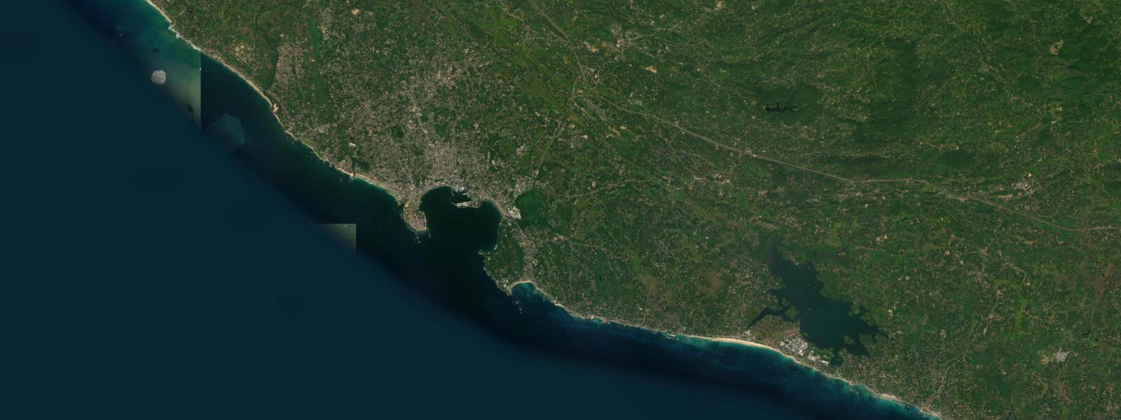
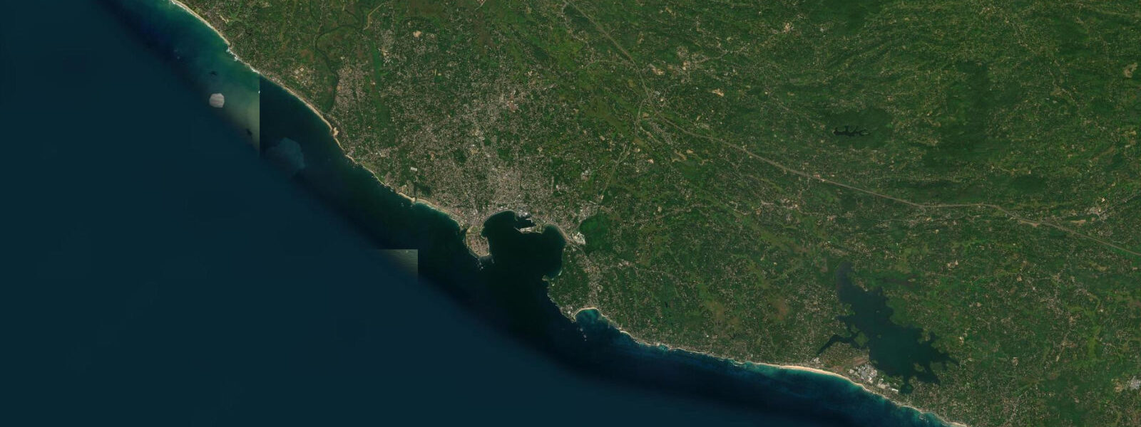
Unawatuna is a 600-metre bay cut into the south coast of Sri Lanka, 6 km east of Galle. The headland to the west, rising to about 30 m, blocks the dominant southwest swell from the open Indian Ocean; the rocky point at Jungle Beach wraps around the western side and the bay mouth faces southeast. Inside that arc of shelter, the water is calm enough for swimming on days when the ocean outside is breaking 2 m on the reefs. The bay is a specific piece of coastal geometry — not every beach in Southern Province has this protection, and the tides that govern it are small enough that the shelter matters far more than the tidal range.
The south coast of Sri Lanka sits in the Indian Ocean's mixed semidiurnal tidal regime, but the range here is modest: mean spring range 0.5–0.8 m. Two highs and two lows per day, with the difference between high and low spring water at Unawatuna around 0.6 m. The practical effect is that the beach width changes by 20–30 m between high and low spring — significant for beach mat positioning and coral depth, but not the hundreds of metres of exposure you get on a high-tidal coast. At low spring water, the snorkelling reef 100 m from shore sits at 0.5–1.0 m depth over its shallowest heads, which is the best entry window: there is enough water to avoid contact damage but shallow enough to see the coral in detail without diving. At high spring water the same heads are at 1.1–1.6 m — still snorkellable but the bottom looks further away in the slightly deeper water. The western end of the bay shallows to knee depth at low spring, exposing a sandy patch that is ideal for children.
The most-visited dive site at Unawatuna is the Tokai Maru, a Japanese anti-submarine vessel sunk during World War II. The wreck lies 30 m offshore at 28–32 m depth, resting on its side in reasonable visibility — 10–20 m on calm days, dropping to 5–8 m when the bay is stirred by southwest monsoon swells in May through August. Alongside the Tokai Maru lies a British cargo vessel, sunk in the same period; the two wrecks are treated as a combined dive site on the Galle circuit and accessible from the beach by boat in under 5 minutes. Dive operators on Unawatuna beach road run two-dive mornings departing at 08:00, with the wreck dive typically first when visibility is highest before afternoon thermal stratification sets in.
Jungle Beach is 400 m west of Unawatuna Bay, accessible by a 15-minute walk over the headland via a forest path, or by swimming around the rocky point — the swim is 150 m and manageable in calm conditions, but the current around the headland picks up when wind is from the southwest. At low spring water the rocky platform at the headland base is 0.3 m shallower, making the swim-around marginally easier to judge. Jungle Beach is smaller, less developed, and more sheltered from the southeast wind than Unawatuna — it gets morning shade until 09:00.
Rumassala, the forested headland that forms Unawatuna's western boundary, is a nature reserve with a claim in local legend to being the location where Hanuman dropped a fragment of the Himalayan Sanjeevani herb (referenced in the Ramayana). The forest is dense, the trees old, and the birding on the headland path is worth the 30-minute walk — bee-eaters, hornbills, and racquet-tail drongos are resident. Rocky Island at the bay mouth is visible from the beach as a low dark outline — boats circle it during whale watching transits south of Galle.
The 2004 Indian Ocean tsunami struck Unawatuna directly. The bay's normally protective headland gave no defence against a tsunami: the wave height at Unawatuna was 8–10 m and the entire beach-front strip was destroyed. The rebuild took place over 2005–2010, closer to the road in some cases, though several structures were re-established on the same beach-front footprint. The bay is fully operational. What the tsunami records contribute for practical visitors today: concrete evidence that this bay's headland shelters against ordinary ocean swell, not extreme wave events.
Galle Fort, 6 km west, is the reference landmark for the region. The Dutch-built fortifications from the 17th century enclose a functioning town — not a museum piece but a neighbourhood with restaurants, boutique guesthouses, a lighthouse on the southern bastion, and a cricket ground inside the walls. The fort walls, 4–5 m thick at the sea-facing bastions, absorb direct Indian Ocean swell; the interior is quiet. The walk along the ramparts at low tide gives an unobstructed view of the reef below the southern wall.
Tide data for Unawatuna, Sri Lanka comes from the Open-Meteo Marine API, a gridded model product. Timing accuracy is ±45 minutes, height accuracy ±0.3 m — usable for trip planning, not for navigation.
Tide questions about Unawatuna, Sri Lanka
Quick answers to the most common questions about tide times, range, and water access at Unawatuna, Sri Lanka.
What is the tidal range at Unawatuna and does it affect swimming conditions?
The mean spring tidal range at Unawatuna is 0.5–0.8 m — one of the smaller ranges on any Indian Ocean beach. The difference between high and low spring water is around 0.6 m vertically, which shifts the beach width by 20–30 m and changes the water depth over the reef by the same amount. Swimming conditions are determined almost entirely by swell direction and wind, not tide. The bay's headland to the west blocks the dominant southwest swell, keeping the bay calmer than exposed beaches on the same coast. At low spring water the western shallows are knee-deep — ideal for small children. At high spring the same area is waist-to-chest depth and the snorkelling reef is at 1.1–1.6 m over its shallowest heads.
What is the Tokai Maru wreck and what are the best conditions to dive it?
The Tokai Maru is a Japanese anti-submarine vessel sunk during World War II, lying 30 m offshore at 28–32 m depth on its side in Unawatuna Bay. A British cargo vessel lies alongside it — the two are dived as a combined site. Visibility is 10–20 m in calm conditions, dropping to 5–8 m during the southwest monsoon (May through August) when the bay is disturbed by swell. Dive operators on Unawatuna beach road run morning departures at 08:00 — the wreck dive goes first when visibility is highest. The site is a 5-minute boat ride from the beach. Diving is generally year-round, with the October-to-April northeast monsoon season producing the clearest conditions as the bay lies on the sheltered side of the island during that period.
How does the tide affect snorkelling on the Unawatuna reef?
The snorkelling reef sits 100 m from shore. At low spring water (the 0.6 m lower end of the tidal cycle) the shallowest coral heads are at 0.5–1.0 m depth — the optimal window for seeing the reef in detail without needing to dive. At high spring water those heads are at 1.1–1.6 m, still snorkellable but with the bottom appearing more distant. Because the tidal range is only 0.5–0.8 m, the difference is moderate and the reef is accessible across most of the tidal cycle. The main factor affecting visibility is swell, not tide — on days with southwest swell above 1.5 m, the bay churns and visibility drops regardless of tidal state. Calm mornings on the northeast monsoon coast (October to April) deliver the best conditions.
What happened to Unawatuna in the 2004 tsunami and has it fully recovered?
The 2004 Indian Ocean tsunami struck Unawatuna with a wave height of 8–10 m, overtopping the beach completely and destroying the beach-front strip of guesthouses, restaurants, and dive shops. The bay's protective headland provides no defence against a tsunami — the wave arrived from the open south and south-southeast, unimpeded. Rebuilding took place over 2005–2010, with some structures set back from the original beach-front line. The bay is fully operational today with a complete range of accommodation, dive operators, and beach restaurants. The rebuilt infrastructure is denser in some sections than before 2004. Unawatuna handles normal Indian Ocean swell well; the headland shelter is effective for ordinary wave conditions.
Is Galle Fort worth visiting from Unawatuna and how far is it?
Galle Fort is 6 km west of Unawatuna — a 15-minute tuk-tuk ride or 20-minute bus on the coastal road. The Dutch-built fortifications from the 17th century are a UNESCO World Heritage Site enclosing a functioning mixed-use neighbourhood: restaurants, boutique guesthouses, a working lighthouse on the southern bastion, and a cricket ground within the walls. The fort is not a museum — residents live there, shops operate, and the streets are active. Walking the sea-facing ramparts at low tide gives a direct view of the reef below the southern wall and the lighthouse above it. Budget 2–3 hours minimum for a proper visit. From the fort's northern gate you can see the Galle harbour and the breakwater protecting the fishing fleet.
8-day tide table — Unawatuna, Sri Lanka
Heights relative to MSL. Predictions: Open-Meteo Marine (MeteoFrance SMOC, 0.08° grid) — heights relative to MSL (not chart datum / LAT). Model-derived.
| Day | Type | Time | Height |
|---|---|---|---|
| Fri 19 Jun | High | 05:30 | 0.6m |
| Low | 10:24 | 0.3m | |
| High | 16:24 | 0.7m | |
| Sat 20 Jun | Low | 23:15 | 0.2m |
| Sun 21 Jun | High | 17:20 | 0.6m |
| Mon 22 Jun | — | ||
| Tue 23 Jun | Low | 00:40 | 0.3m |
| High | 08:30 | 0.6m | |
| Wed 24 Jun | Low | 01:40 | 0.3m |
| High | 09:40 | 0.6m | |
| Thu 25 Jun | Low | 03:30 | 0.3m |
| High | 10:40 | 0.5m | |
| Fri 26 Jun | Low | 04:30 | 0.2m |