Galle tide times
Galle tide forecast — heights relative to MSL.
Today's tide times for Galle
Tide times at Galle on Friday, 31 July 2026: first high tide at 05:30am, first low tide at 09:17pm. Sunrise 06:03am, sunset 06:27pm.
Tide chart for Galle
24-hour cosine-interpolated curve around the present moment. Heights relative to MSL. Predictions: Predictions: Open-Meteo Marine (MeteoFrance SMOC, 0.08° grid).
Sun, moon and conditions on Fri 31 Jul
Snapshot at build time — refreshes daily. Sea state from Open-Meteo Marine.
Highs and lows next 7 days
Every predicted high and low for the next week, with the daily tidal coefficient (0–120; higher = bigger swing, > 95 means stronger currents).
Other spots nearby
The three closest curated TideTurtle locations to Galle, measured by great-circle distance.
Today's solunar windows
Solunar tradition: major periods are the ≈3h windows around moon transit and opposition; minor are ≈2h around moonrise and moonset. Pair with the local tide stage and wind for the best read.
Cycle dates near Galle
Next spring tide on Sat 01 Aug (range 0.6m). Next neap on Wed 05 Aug.
Spring tides cluster around new and full moons (biggest swings). Neap tides land on quarter moons (smallest swings). See the spring tide and neap tide glossary entries for the why.
About tides at Galle
A short guide to the coastline at Galle — geography, sea state, and what the tide is actually doing under your feet.
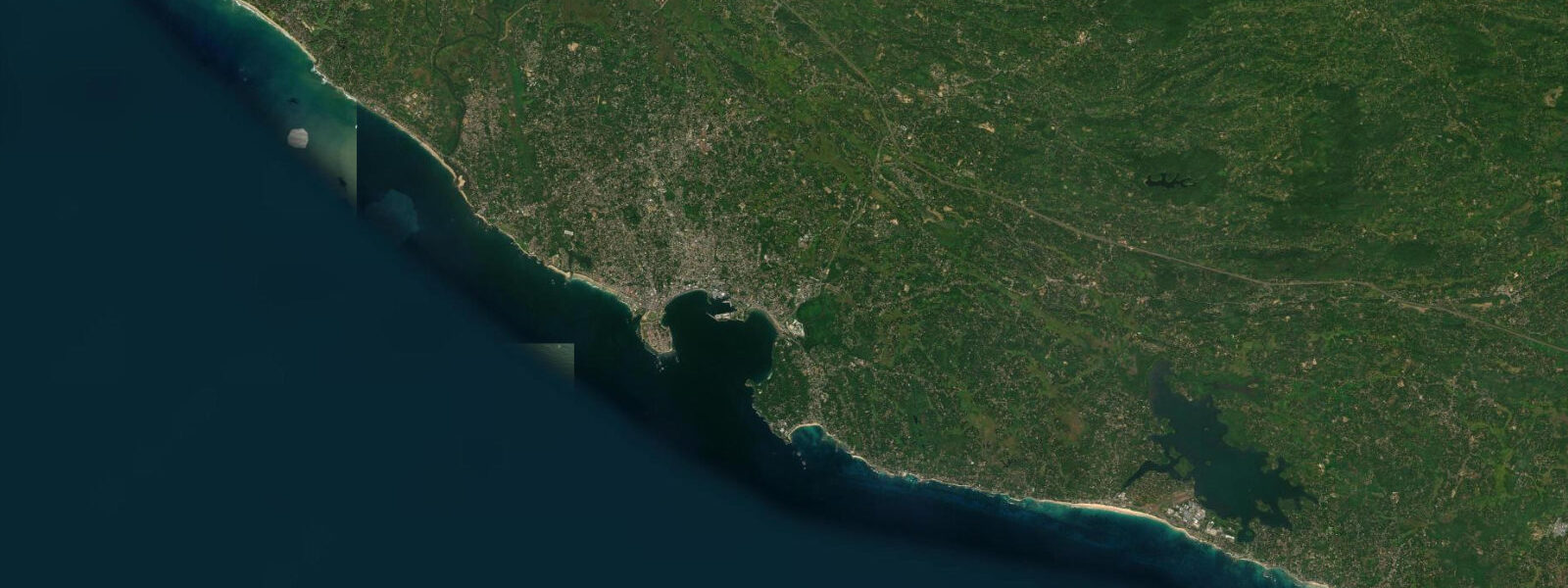
Galle sits at Sri Lanka's southwestern corner, 120 kilometres south of Colombo, where a broad harbour opens into the Indian Ocean just north of the island's last major headland before Dondra Point. The Dutch-built fort on the headland — ramparts, cannon platforms, and the lighthouse visible for miles offshore — has enclosed the old town since the 17th century and is the most intact colonial-era fortification in Asia. The harbour operates inside the fort's protected northern face, the fish market runs every morning, and the outer bay to the south is where the ocean conditions shift between monsoon seasons in a way that the two places on this page — Galle and Colombo — experience quite differently despite being on the same coast.
The tidal regime at Galle is mixed diurnal. Some days you get two clear highs and two clear lows, roughly 12 hours apart. Other days the pattern collapses to a single dominant high and a long, flattish low phase as the moon's declination shifts the balance between the Arabian Sea and Bay of Bengal forcing. Mean astronomical range is roughly 0.3 to 0.6 metres — this is a microtidal coast. Spring tides around new and full moons push toward the upper end; neap tides can bring the total swing under 0.2 metres. That is small, but not irrelevant on a coral-reef coast: the difference between a spring low and a neap high can change whether you're snorkelling over a reef table in a metre of water or wading over it on your ankles.
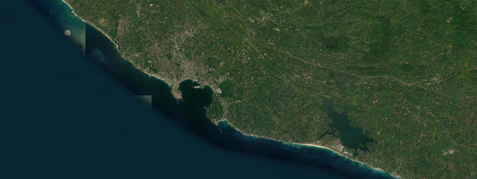
The fringing reefs off Unawatuna, six kilometres northeast along the coast, are the most visited dive and snorkel ground in the area. The bay at Unawatuna is partially sheltered by a reef arc that runs across its mouth; the inner lagoon stays calm enough for confident swimmers even when the outer bay is messy. Low tide exposes the inner reef to knee depth in places, which matters for beach entry. High water — roughly 0.3 to 0.4 metres above low in mean conditions — deepens the inner reef to a swimmable 0.8 to 1.0 metres and opens the entire bay floor for snorkelling. The reef at Jungle Beach, the small cove on the western headland of the bay, is accessible as a shore dive only on the higher half of the tide; the entry channel at low water is too shallow to fin through without damaging coral.
Sea turtles — mostly green turtles, some hawksbills — are resident on the reefs near Galle and at the nesting beach at Rekawa, 50 kilometres east. The turtle population is more active in the early morning hours, regardless of tidal phase. Anglers working the rocky points south of the fort, and around the outer breakwater of the harbour, target trevally, snapper, and queenfish on the incoming tide as baitfish push against the structure.
Kayaking in Galle Harbour is feasible on calm days but the harbour is active — fishing boats enter and exit from before dawn, and the ferry and commercial traffic has priority in the main channel. The southwest monsoon (May through September) brings consistent southwesterly swells to the outer bay and makes the headland paddle around the fort uncomfortable for most sea kayaks. November through March is the workable window for coastal paddling in the south.
The Southwest Monsoon is the dominant seasonal factor for this coast. During the monsoon, May through September, the outer bay at Galle is exposed and rough, the harbour bar can get confused sea states when the swell meets the outgoing boat traffic, and the beach at Unawatuna is not safe for casual swimming. The Northeast Monsoon season, October through March, is when this coast opens up: flat mornings, consistent swell at Hikkaduwa (30 kilometres north), and the kind of visibility underwater that justifies the dive trips. Photographers working this coast should plan dawn shoots at the fort ramparts from October onward — the early sun hits the Dutch-era lighthouse and the rampart cannon from a clean angle and the sea is calm enough that the reflections in the harbour water hold.
Tide predictions on this page come from Open-Meteo Marine, a global ocean model. The data is model-derived rather than from a calibrated local gauge — accuracy is typically within plus or minus 45 minutes on timing and 0.2 to 0.3 metres on height. On a coast with a mean range of 0.3 to 0.6 metres, that height uncertainty is a substantial fraction of the total signal. The National Aquatic Resources Research and Development Agency (NARA) in Colombo maintains the official gauge network for Sri Lanka. For any commercial harbour scheduling, reef navigation, or activity that depends on precise water-level data, NARA is the source to consult.
Tide questions about Galle
Quick answers to the most common questions about tide times, range, and water access at Galle.
When is the next high tide at Galle?
The current predicted high tide at Galle, with time in Sri Lanka Standard Time (SLST, UTC+5:30), is shown in the hero section at the top of this page. Galle follows a mixed diurnal pattern — the number of highs and lows per day shifts as the moon's declination changes through the month, so some days show two clear high–low cycles and others show a single dominant high with a prolonged low phase. Mean astronomical range is roughly 0.3 to 0.6 metres. The National Aquatic Resources Research and Development Agency (NARA) maintains the official gauge data for Sri Lanka's coasts.
Why is the tidal range at Galle so small?
Galle sits in the northeastern Indian Ocean, which is a semi-enclosed basin. The resonance geometry of the Indian Ocean basin produces a much smaller tidal signal than, say, the Atlantic or Pacific coasts at similar latitudes. Mean astronomical range at Galle is roughly 0.3 to 0.6 metres — microtidal by international classification. The Indian Ocean's mixed diurnal character also means the two daily highs are often unequal in height, and around new and full moons the spring tides push toward the upper end of the range while neap tides at quarter moons can compress the swing to under 0.2 metres. Wind-driven water level changes — particularly during the Southwest Monsoon swell season — can exceed the tidal signal entirely.
Where does the tide data for Galle come from?
Tide predictions on this page are generated by Open-Meteo Marine, a free global ocean model that estimates tidal heights from hydrodynamic equations applied across a geographic grid. It is not derived from harmonic analysis of a dedicated Galle gauge record. Typical accuracy is within plus or minus 45 minutes on timing and 0.2 to 0.3 metres on height. For a coast with a mean range of 0.3 to 0.6 metres, that height uncertainty is a meaningful fraction of the total signal. The authoritative source for Sri Lanka coastal data is NARA — the National Aquatic Resources Research and Development Agency — which maintains the official tide gauge network around the island.
Is it safe to snorkel at Unawatuna near Galle, and does the tide matter?
Unawatuna, six kilometres northeast of Galle, is generally safe for confident swimmers in the Northeast Monsoon season (October through March), when the bay is sheltered and calm. The tidal state matters for the reef: at low water the inner reef flat can be knee-deep in places, which is uncomfortable for snorkellers and poses a coral-contact risk. The higher half of the tide — roughly from mid-flood through to mid-ebb — gives the clearest and most swimmable conditions over the reef. Entry at Jungle Beach on the western headland requires at least mid-tide to be deep enough to fin through safely. During the Southwest Monsoon (May through September) the outer bay is rough and unsafe for swimming regardless of tidal phase.
Can I use this page to navigate in Galle Harbour?
No. The tide predictions on this page are for general planning — understanding the tidal rhythm, timing beach and reef activities, and knowing roughly when water is high or low. They are not charted navigational data and should not be used for harbour pilotage, anchoring, or under-keel clearance decisions. Galle Harbour is a working commercial port with active fishing vessel traffic, ferry services, and yacht anchorage. For navigation in and out of the harbour, consult the Sri Lanka Ports Authority for official tide and water-level data, and follow the harbour master's protocols. Open-Meteo Marine predictions carry model uncertainty of plus or minus 45 minutes and 0.2 to 0.3 metres — not precision adequate for navigational use.
8-day tide table — Galle
Heights relative to MSL. Predictions: Open-Meteo Marine (MeteoFrance SMOC, 0.08° grid) — heights relative to MSL (not chart datum / LAT). Model-derived.
| Day | Type | Time | Height |
|---|---|---|---|
| Fri 31 Jul | High | 05:30 | 0.4m |
| Low | 21:17 | 0.1m | |
| Sat 01 Aug | High | 03:30 | 0.6m |
| Low | 09:24 | 0.1m | |
| High | 15:22 | 0.6m | |
| Low | 21:34 | 0.0m | |
| Sun 02 Aug | High | 03:51 | 0.6m |
| Low | 09:50 | 0.1m | |
| High | 15:40 | 0.6m | |
| Mon 03 Aug | Low | 10:12 | 0.1m |
| High | 16:10 | 0.6m | |
| Low | 22:30 | 0.1m | |
| Tue 04 Aug | High | 04:50 | 0.6m |
| Low | 10:48 | 0.2m | |
| High | 16:24 | 0.5m | |
| Low | 22:50 | 0.1m | |
| Wed 05 Aug | High | 05:24 | 0.6m |
| Low | 11:30 | 0.2m | |
| High | 16:48 | 0.5m | |
| Low | 23:20 | 0.1m | |
| Thu 06 Aug | High | 05:50 | 0.5m |
| Low | 23:45 | 0.1m | |
| Fri 07 Aug | High | 04:30 | 0.4m |