Jaffna Lagoon tide times
Jaffna Lagoon tide forecast — heights relative to MSL.
Today's tide times for Jaffna Lagoon
Tide times at Jaffna Lagoon on Sunday, 21 June 2026: first high tide at 06:15am, first low tide at 11:50pm. Sunrise 05:50am, sunset 06:32pm.
Tide chart for Jaffna Lagoon
24-hour cosine-interpolated curve around the present moment. Heights relative to MSL. Predictions: Predictions: Open-Meteo Marine (MeteoFrance SMOC, 0.08° grid).
Sun, moon and conditions on Sun 21 Jun
Snapshot at build time — refreshes daily. Sea state from Open-Meteo Marine.
Highs and lows next 7 days
Every predicted high and low for the next week, with the daily tidal coefficient (0–120; higher = bigger swing, > 95 means stronger currents).
Other spots nearby
The three closest curated TideTurtle locations to Jaffna Lagoon, measured by great-circle distance.
Today's solunar windows
Solunar tradition: major periods are the ≈3h windows around moon transit and opposition; minor are ≈2h around moonrise and moonset. Pair with the local tide stage and wind for the best read.
About tides at Jaffna Lagoon
A short guide to the coastline at Jaffna Lagoon — geography, sea state, and what the tide is actually doing under your feet.
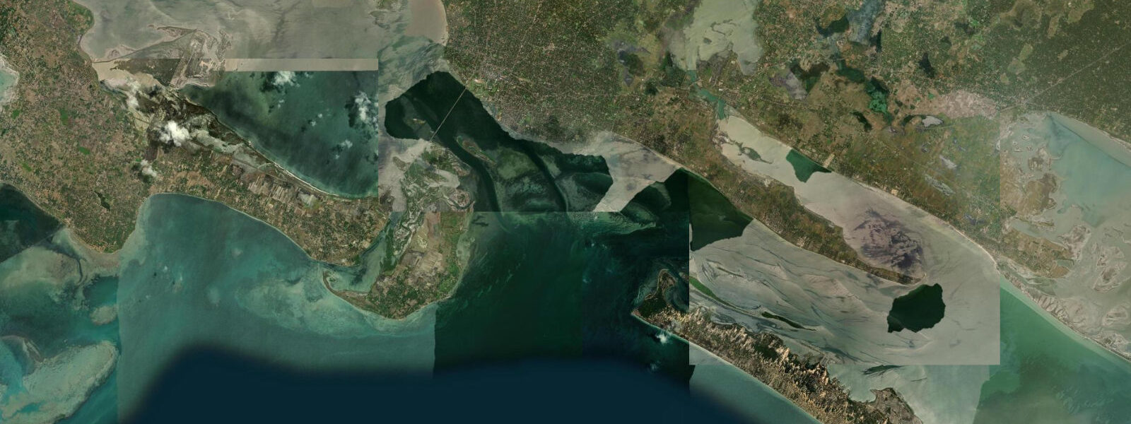
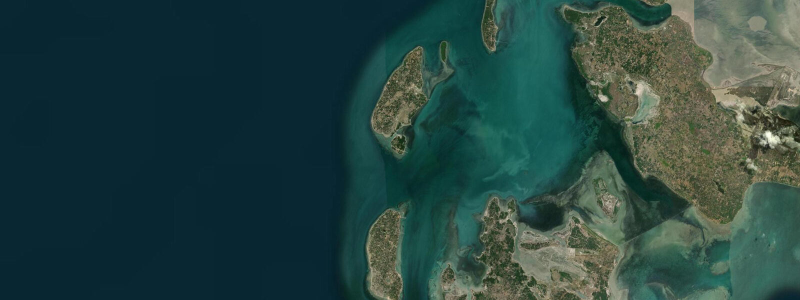
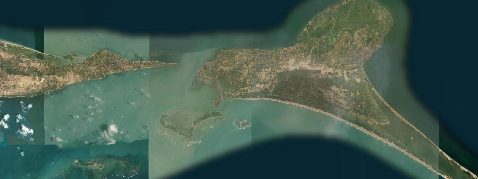
Jaffna Lagoon sits between the Jaffna Peninsula and the chain of islands to the north — Karaitivu, Kayts, Karainagar, and several smaller land masses — forming a semi-enclosed body of water approximately 40 km long east-to-west and 10 to 15 km wide north-to-south. The depth is typically 1 to 3 metres throughout, shoaling to less than a metre across the extensive eastern mud flats. The lagoon connects to the Palk Bay through the channels between the islands and through the Kayts Strait on the western side; the narrow, shallow geometry of these connections means the tidal exchange is restricted and the tidal signal inside the lagoon is modified significantly from the open Palk Bay pattern.
9 metres above chart datum. The shallow depth makes the lagoon highly sensitive to wind-driven setup: a sustained northeast wind during the NE monsoon can hold the eastern end of the lagoon 20 to 30 cm above the western end for hours, producing a wind-tide compound that differs substantially from any purely astronomical prediction. Fishing is the primary livelihood of the Tamil coastal communities around the lagoon perimeter — prawn, crab, mullet, barracuda, and sea bass are the principal species.
The fishing methods are adapted to the shallow geometry: cast nets from the shore and from small catamarans, traditional fish traps set in the tidal channels at the island passages, and trap nets in the mangrove-adjacent channels. The shallow-draft wooden fishing catamarans (vallam) that work the lagoon are beached at low tide across the sandy and muddy shores; the boats are launched and retrieved on their outrigger frames, and the tidal state determines whether the beach carry is 5 metres or 50 metres across the exposed flat. The Nallur Kandaswamy Temple (Nallur Kovil), one of the most important Tamil Hindu temples in Sri Lanka, is 4 km east of the lagoon in Nallur — the August-September Nallur Festival draws tens of thousands of pilgrims from the Tamil diaspora in Sri Lanka, India, Singapore, Malaysia, Canada, the UK, and Australia over its 25-day duration.
The annual chariot (ther) procession circles the temple perimeter on specific days; the festival's main chariot procession on the 24th and 25th days is the largest Hindu chariot procession in Sri Lanka. The Jaffna Peninsula's palmyra palm trees (Borassus flabellifer) are the emblematic landscape feature; the palmyra-based economy — producing jaggery, toddy, vinegar, and construction material — is tied to the agricultural calendar rather than the tidal one, but the lagoon's fishing calendar and the Nallur Festival draw together as the defining rhythms of life on the peninsula. The Jaffna Fort, a Dutch-built fortification on the lagoon's southern shore, is the most visible surviving colonial structure in the north; it was heavily damaged during the civil conflict and has been partially restored since 2009.
Shore angling along the lagoon perimeter targets the tidal channels where the current concentrates fish on the ebb; the falling tide for the first two to three hours of the ebb is the standard local window for the lagoon's edge channels and the island passages. The Jaffna Public Library in the town centre, rebuilt after being destroyed in 1981 and again after the civil conflict, is one of the largest public libraries in Sri Lanka and an important symbol of Tamil cultural recovery; the building faces a public square 4 km from the lagoon's southern shore. Jaffna's position as the cultural capital of Sri Lanka's Tamil community means the city has a distinctive food culture — the Jaffna crab curry (using the mud crabs from the lagoon), the traditional kool seafood soup, and the palmyra-jaggery sweets are best sourced in the market streets near the Jaffna Fort on the lagoon south shore.
The Jaffna Fort itself, Dutch-built in 1658 and partially restored since 2009, is on the direct waterfront of the lagoon — the fort walls drop to the lagoon edge on the north side. 3 metres on height. NARA (National Aquatic Resources Research and Development Agency, Sri Lanka) is the authoritative Sri Lanka tide source.
Tide questions about Jaffna Lagoon
Quick answers to the most common questions about tide times, range, and water access at Jaffna Lagoon.
What is the typical tide range at Jaffna Lagoon, and why does the water level vary significantly even without large tides?
Spring tidal range at Jaffna is approximately 0.6 to 0.9 metres above chart datum — modest, and further reduced inside the lagoon by the restricted tidal exchange through the shallow island channels. But the lagoon's depth of 1 to 3 metres makes it highly sensitive to wind-driven setup: a sustained NE monsoon wind can hold the eastern end 20 to 30 cm above the western end, compounding or partially opposing the tidal signal. Barometric pressure changes also shift the lagoon level measurably. Fishing communities working the lagoon monitor both the tide and the wind; the two together determine where the water sits on any given day more than the astronomical prediction alone.
What fish species are caught in Jaffna Lagoon, and when is the best fishing?
The principal species in the lagoon are prawns (multiple species), mud crab, mullet (Mugil spp.), barracuda, and sea bass. The lagoon's shallow, sheltered geometry concentrates juveniles and prey species that attract the larger predators into the tidal channels and the mangrove-edge areas. Shore anglers and small-boat fishers work the first two to three hours of the falling tide at the channel entrances between the islands, where the ebb concentrates baitfish and prawn. Prawn and crab trapping runs through the night; the traps are set at low water and pulled on the following flood. NARA periodically publishes seasonal fishing advisories for the lagoon — check current regulations before fishing.
What is the Nallur Kandaswamy Temple and when does the Nallur Festival take place?
The Nallur Kandaswamy Temple (Nallur Kovil) in Nallur, 4 km from the lagoon, is one of the five principal Shiva shrines in Sri Lanka and the most important Tamil Hindu temple in the northern province. The Nallur Festival runs for 25 consecutive days in August and September on the Tamil calendar (the Tamil month of Avani); the precise dates shift annually. The 24th and 25th days include the major chariot (ther) procession — an enormous wooden chariot carrying the deity is pulled through the streets around the temple complex by thousands of devotees. The festival draws pilgrims from the Tamil diaspora globally; accommodation in Jaffna books well in advance for the main procession days.
Where do these tide predictions come from?
Open-Meteo Marine, a gridded global ocean model; accuracy is typically ±45 minutes on timing and ±0.2 to 0.3 metres on height. In a shallow lagoon this small and this wind-sensitive, the model's uncertainty can be a significant fraction of the total predicted signal. NARA (National Aquatic Resources Research and Development Agency, Sri Lanka) is the authoritative tide source for Sri Lanka; the nearest reference gauge to Jaffna Lagoon is operated by NARA in coordination with the Sri Lanka Ports Authority. For fishing and boat operations on the lagoon, local knowledge of the current wind-tide compound is the most reliable guide.
Is this safe to use for navigation?
No. Jaffna Lagoon is shallow, with depths of 1 to 3 metres and extensive sub-metre mud flats on the eastern end; safe navigation requires local knowledge and current chart data. The island channels — Kayts Strait and the passages between Karaitivu and Karainagar — require careful pilotage on any significant vessel. The Sri Lanka Navy operates in these waters from the Kankesanthurai base; vessels should comply with all Sri Lanka Navy and Ports Authority requirements. NARA publishes authoritative tide data. TideTurtle is a coastal planning reference, not a navigational tool.
8-day tide table — Jaffna Lagoon
Heights relative to MSL. Predictions: Open-Meteo Marine (MeteoFrance SMOC, 0.08° grid) — heights relative to MSL (not chart datum / LAT). Model-derived.
| Day | Type | Time | Height |
|---|---|---|---|
| Sun 21 Jun | High | 06:15 | 0.6m |
| Low | 23:50 | 0.2m | |
| Mon 22 Jun | High | 17:24 | 0.6m |
| Tue 23 Jun | Low | 00:40 | 0.2m |
| Wed 24 Jun | High | 17:30 | 0.6m |
| Thu 25 Jun | — | ||
| Fri 26 Jun | Low | 03:30 | 0.3m |
| Sat 27 Jun | High | 01:30 | 0.4m |
| Low | 04:40 | 0.3m | |
| High | 13:40 | 0.7m | |
| Sun 28 Jun | Low | 04:30 | 0.3m |