Nilaveli Beach tide times
Nilaveli Beach tide forecast — heights relative to MSL.
Today's tide times for Nilaveli Beach
Tide times at Nilaveli Beach on Sunday, 21 June 2026: first low tide at 06:15am, first high tide at 12:40pm, second low tide at 07:36pm. Sunrise 05:47am, sunset 06:25pm.
Tide chart for Nilaveli Beach
24-hour cosine-interpolated curve around the present moment. Heights relative to MSL. Predictions: Predictions: Open-Meteo Marine (MeteoFrance SMOC, 0.08° grid).
Sun, moon and conditions on Sun 21 Jun
Snapshot at build time — refreshes daily. Sea state from Open-Meteo Marine.
Highs and lows next 7 days
Every predicted high and low for the next week, with the daily tidal coefficient (0–120; higher = bigger swing, > 95 means stronger currents).
Other spots nearby
The three closest curated TideTurtle locations to Nilaveli Beach, measured by great-circle distance.
Today's solunar windows
Solunar tradition: major periods are the ≈3h windows around moon transit and opposition; minor are ≈2h around moonrise and moonset. Pair with the local tide stage and wind for the best read.
Cycle dates near Nilaveli Beach
Last spring tide on Sun 21 Jun (range 0.5m). Next neap on Sat 27 Jun.
Spring tides cluster around new and full moons (biggest swings). Neap tides land on quarter moons (smallest swings). See the spring tide and neap tide glossary entries for the why.
About tides at Nilaveli Beach
A short guide to the coastline at Nilaveli Beach — geography, sea state, and what the tide is actually doing under your feet.
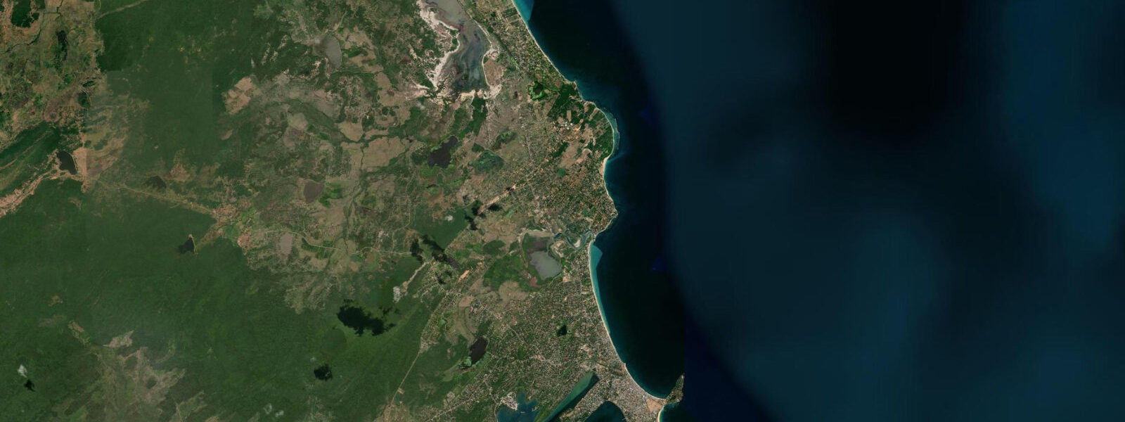
Nilaveli Beach extends along the Bay of Bengal coast 15 kilometres north of Trincomalee, a wide, largely undeveloped stretch of white sand backed by a coconut-palm fringe and accessed by the A15 road running north from Trincomalee town. The beach faces directly east into the open Bay of Bengal; the exposure is softened by the offshore position of Pigeon Island, 800 metres from the waterline, which breaks the direct swell approach and creates a partially sheltered corridor of calmer water between the island and the beach. 0 metres — slightly lower than at the Trincomalee gauge 15 kilometres south, reflecting the open-coast position away from the harbour geometry that slightly amplifies the signal at the town gauge.
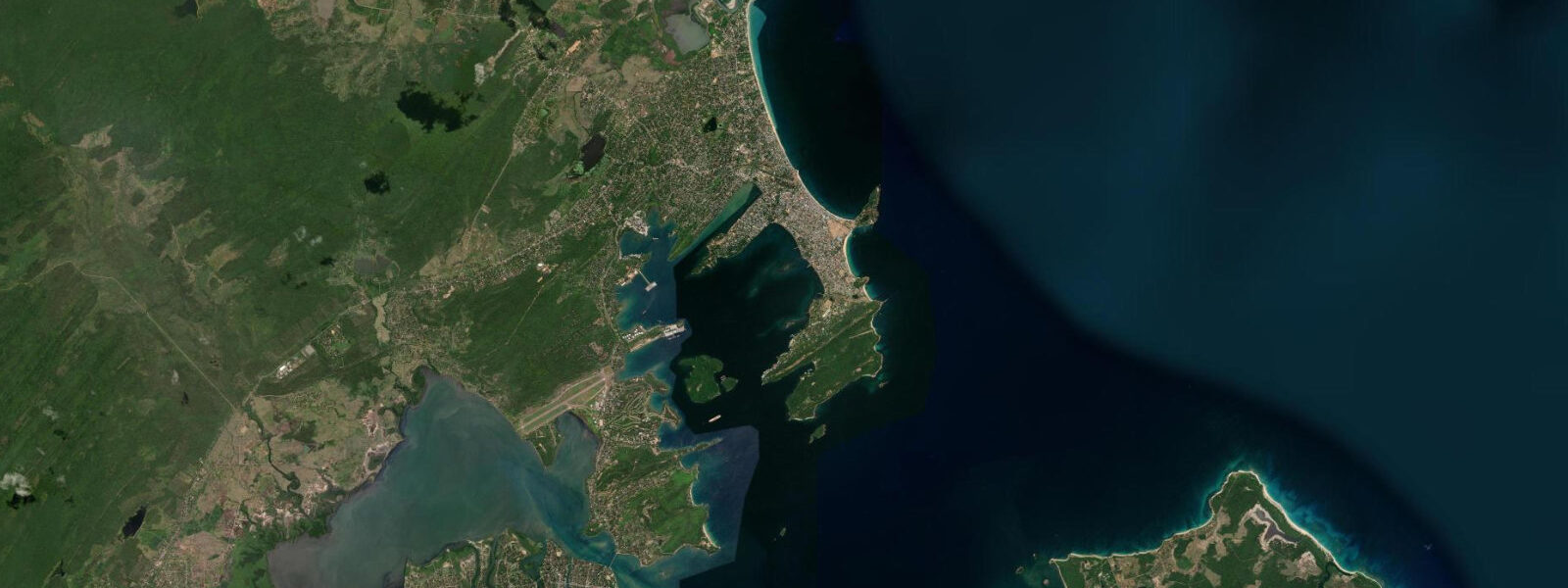
Pigeon Island National Park is the premier snorkelling and shallow-diving site accessible from the eastern Sri Lankan coast. The island — roughly 400 metres long and 150 metres wide, with two sand beaches separated by a central rocky ridge — is ringed by fringing reef in 1 to 8 metres of water on the sheltered western side and by steeper coral slope dropping to 15 metres on the exposed northeast face. Access is controlled by the Department of Wildlife Conservation; the day visitor quota and the snorkel-access fee are paid at the park office on the Nilaveli Beach mainland.
Boats depart from the Nilaveli Beach jetty; the crossing is 5 to 10 minutes. Snorkelling from Pigeon Island's western beach is best at high water or on the incoming tide when the coral is well covered and the visibility is clearest — the turbid mixing that occurs on the outgoing ebb as the lagoon water drains reduces the clarity noticeably at the reef edge on spring ebbs. 2 metres) and not a hazard under normal observation conditions.
The beach at Nilaveli village — long, pale-gold, with a firm sand gradient — is popular with families for swimming; the gentle slope and the island shelter make the inshore water calmer than unprotected east-facing beaches. In December 2004, the Indian Ocean tsunami caused extensive damage along the Nilaveli and Trincomalee coast; the post-tsunami reconstruction rebuilt the hotel strip and the coast road, and the reef at Pigeon Island, though damaged by the tsunami-generated surge, has partially recovered. The east coast calm season runs April through September; November through February brings the NE monsoon swell that makes the coast rougher and limits the Pigeon Island boat crossings.
Whale shark sightings are occasional off Nilaveli in the April to September calm window, in addition to the blue whale and sperm whale season offshore of Trincomalee to the south. Shore angling from the Nilaveli Beach waterline targets the species that work the sandy bottom — barracuda, trevally, and queenfish on the incoming tide as the beach surf zone activates. The A15 coast road that runs north from Trincomalee through Nilaveli to Kankesanthurai passes several smaller beach access points with minimal infrastructure — Marble Beach (administered through the naval base checkpoint, requires a day permit), Uppuveli Beach at 5 km north of Trincomalee, and several unnamed sand pockets between Uppuveli and Nilaveli.
The road is sealed and in reasonable condition in the dry season; the northern stretch toward Kankesanthurai is the more remote section. Accommodation at Nilaveli is concentrated on the stretch of beach facing Pigeon Island, ranging from budget beach bungalows to two established resort hotels. 3 metres on height.
NARA (National Aquatic Resources Research and Development Agency, Sri Lanka) is the authoritative Sri Lanka tide source; the Trincomalee gauge 15 km south is the nearest reference station.
Tide questions about Nilaveli Beach
Quick answers to the most common questions about tide times, range, and water access at Nilaveli Beach.
When is the best time to snorkel at Pigeon Island?
Snorkelling at Pigeon Island is best at high water or on the incoming tide, when the reef is well covered, water clarity is highest, and the coral heads are 0.5 to 1.5 metres below the surface. On spring ebbs the outgoing lagoon water reduces visibility noticeably at the reef edge. The island visit window is also season-dependent: the east coast calm season runs April through September — the NE monsoon from November through February produces rougher sea conditions and the park boat crossing from Nilaveli Beach jetty may be suspended on rough days. Arrive at the park office early; the daily visitor quota fills before midday during peak season.
Are there sharks at Pigeon Island, and is it safe to snorkel?
Yes — blacktip reef sharks (Carcharhinus melanopterus) patrol the western reef flat of Pigeon Island in water 1 to 3 metres deep. The sharks are small (typically 0.8 to 1.2 metres) and are present consistently. Under normal snorkelling conditions — no spearfishing, no feeding, no erratic or aggressive movement — they are not a hazard. Keeping a respectful distance and not attempting to touch or chase them is standard practice; the blacktip will move away before an approach gets close in most cases. The Department of Wildlife Conservation park guides brief visitors on behaviour before entry. Strong swimmers only should snorkel the northeast reef face, where depth and swell exposure increase.
What is the typical tide range at Nilaveli Beach?
Spring range at Nilaveli is approximately 0.7 to 1.0 metres — modest, mixed semidiurnal pattern with two unequal highs and two unequal lows each day. The visible effect on the beach is a 15 to 25 metre change in dry-sand width between spring high and spring low, bringing the waterline to the coconut-palm base at high tide and exposing a broad firm-sand shelf at low. The wave and swell conditions from the Bay of Bengal, not tidal state, are the primary variable for swimming safety on this exposed east-facing coast.
Where do these tide predictions come from?
Open-Meteo Marine, a gridded global ocean model; accuracy is typically ±45 minutes on timing and ±0.2 to 0.3 metres on height. The model estimates tidal height from oceanographic equations applied across a geographic grid rather than from harmonic analysis of a local Nilaveli gauge record. The nearest authoritative reference station is NARA's (National Aquatic Resources Research and Development Agency, Sri Lanka) Trincomalee gauge, 15 km south of Nilaveli. The tidal pattern at Nilaveli follows Trincomalee very closely given the small distance; apply a small offset if departure timing at the Pigeon Island National Park jetty requires precision.
Is this safe to use for navigation?
No. The Bay of Bengal approaches to Pigeon Island and Nilaveli Beach require awareness of the reef perimeter and the island's shallow western shelf, which extends in places to less than 1 metre at low water. Pigeon Island is a protected National Park; vessels must comply with Department of Wildlife Conservation approach rules and may not anchor within the reef boundary. For any vessel operation, use Sri Lanka Ports Authority charts referenced from the Trincomalee chart datum. NARA publishes authoritative tide predictions for the eastern Sri Lanka coast. TideTurtle is a coastal planning tool — do not use predictions here for piloting decisions around Pigeon Island reef.
8-day tide table — Nilaveli Beach
Heights relative to MSL. Predictions: Open-Meteo Marine (MeteoFrance SMOC, 0.08° grid) — heights relative to MSL (not chart datum / LAT). Model-derived.
| Day | Type | Time | Height |
|---|---|---|---|
| Sun 21 Jun | Low | 06:15 | 0.4m |
| High | 12:40 | 0.8m | |
| Low | 19:36 | 0.3m | |
| Mon 22 Jun | High | 01:45 | 0.7m |
| Low | 07:15 | 0.4m | |
| High | 13:36 | 0.8m | |
| Low | 20:30 | 0.3m | |
| Tue 23 Jun | High | 02:48 | 0.7m |
| Low | 08:20 | 0.5m | |
| High | 14:24 | 0.7m | |
| Low | 20:50 | 0.3m | |
| Wed 24 Jun | High | 03:45 | 0.7m |
| Low | 09:30 | 0.5m | |
| High | 15:20 | 0.6m | |
| Low | 21:45 | 0.3m | |
| Thu 25 Jun | High | 04:36 | 0.7m |
| Low | 22:45 | 0.3m | |
| Fri 26 Jun | High | 05:30 | 0.7m |
| Low | 23:24 | 0.3m | |
| Sat 27 Jun | High | 06:15 | 0.7m |
| Low | 12:40 | 0.4m | |
| Sun 28 Jun | High | 04:30 | 0.6m |