
Arugam Bay tide times
Arugam Bay tide forecast — heights relative to MSL.
Today's tide times for Arugam Bay
Tide times at Arugam Bay on Sunday, 21 June 2026: first low tide at 05:30am, first high tide at 12:30pm. Sunrise 05:48am, sunset 06:19pm.
Tide chart for Arugam Bay
24-hour cosine-interpolated curve around the present moment. Heights relative to MSL. Predictions: Predictions: Open-Meteo Marine (MeteoFrance SMOC, 0.08° grid).
Sun, moon and conditions on Sun 21 Jun
Snapshot at build time — refreshes daily. Sea state from Open-Meteo Marine.
Highs and lows next 7 days
Every predicted high and low for the next week, with the daily tidal coefficient (0–120; higher = bigger swing, > 95 means stronger currents).
Other spots nearby
The three closest curated TideTurtle locations to Arugam Bay, measured by great-circle distance.
Today's solunar windows
Solunar tradition: major periods are the ≈3h windows around moon transit and opposition; minor are ≈2h around moonrise and moonset. Pair with the local tide stage and wind for the best read.
About tides at Arugam Bay
A short guide to the coastline at Arugam Bay — geography, sea state, and what the tide is actually doing under your feet.
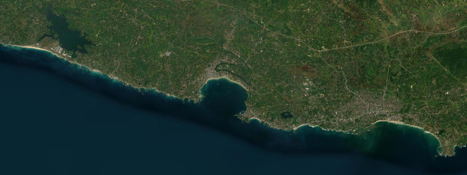
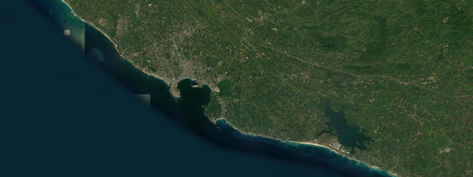
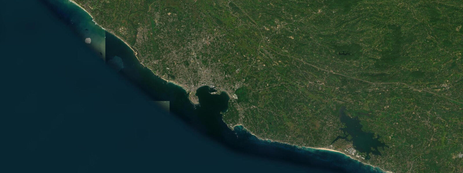
Arugam Bay opens east into the Bay of Bengal from the southeastern coast of Sri Lanka, roughly 320 kilometres east of Colombo by road and 8 kilometres south of Pottuvil town. The bay is semi-circular, about 3 kilometres across, with the named surf breaks arranged around its perimeter and on the headlands to the north and south. Main Point is the signature break: a right-hand point break working off the southern headland where a cobble-and-sand bar builds at the base of the point.
5 metre SW monsoon swell from May through September, Main Point produces a fast, walling right that runs for 100 to 150 metres — one of the longer and more consistent point breaks in South and Southeast Asia. Baby Point breaks at the northern end of the bay on smaller swells, more forgiving and better suited to developing surfers. Pottuvil Point is 2 kilometres north, a separate break accessed by a short boat or tuk-tuk ride; it works on larger swells that close-out the main bay.
Elephant Rock is further north near the Pottuvil Lagoon entrance, a reef break that works on mid-sized swell and handles the crowd better than Main Point on peak season days. 8 metres. In a wave-dominant environment this is operationally secondary — swell size and direction, wind, and the period of the incoming swell determine wave quality far more than the tidal stage.
At low water the rocky outcrops and cobble bar at Main Point are exposed, and the take-off zone shifts slightly further from the point, producing a slightly less defined wall on the smallest swells. At high water the entry is easier and the take-off zone softer. The exposed rocks at Baby Point and Pottuvil Point are more accessible for positioning at low water.
The Pottuvil Lagoon, 2 kilometres north of Arugam Bay, is a brackish lagoon that connects to the sea through a channel at the lagoon mouth. The lagoon drains significantly at low tide; the channel current runs noticeably on ebbs. Elephants from the adjacent Lahugala National Park and the Kumana Wildlife Sanctuary corridor move between the dry-zone scrubland and the lagoon edge at dawn and dusk throughout the year — the best sighting windows are the 90 minutes either side of sunrise and sunset from the lagoon bank or from a boat in the lagoon.
The main Arugam Bay village has a well-developed guesthouse and restaurant strip built over the two decades since the end of the Sri Lankan civil conflict in 2009 and the post-2004 tsunami reconstruction. The offshore submarine canyon 10 kilometres east of Arugam Bay funnels the Bay of Bengal swell, which partly explains the quality of the point break relative to other south-coast spots: the swell energy reaches the coast with longer period and better organisation than beach-adjacent wave sources. The SW monsoon delivers the surf (May to September); the NE monsoon (October to January) can produce smaller, north-facing swell that works some of the secondary breaks and makes the coast rougher generally.
The village has grown substantially since the end of the civil conflict in 2009 and the post-2004 tsunami reconstruction — the guesthouse strip now extends along the bay for about 500 metres, and several surf schools cater to the international visitor flow from April through September. The Kumana National Park, 40 km south of Arugam Bay, is a wetland sanctuary for migratory birds accessible by vehicle from Pottuvil; the nesting season for painted storks, spoonbills, and herons peaks around May to July, overlapping with the surf season. An organised jeep or tuk-tuk day trip to Kumana is practical from any Arugam Bay guesthouse.
3 metres on height. NARA (National Aquatic Resources Research and Development Agency, Sri Lanka) is the authoritative Sri Lanka tide source.
Tide questions about Arugam Bay
Quick answers to the most common questions about tide times, range, and water access at Arugam Bay.
When is surf season at Arugam Bay?
The main season at Arugam Bay runs from April or May through September, when the SW monsoon drives swell around Sri Lanka's southern tip into the Bay of Bengal and delivers consistent 1.0 to 2.5 metre sets to Main Point and the surrounding breaks. June, July, and August are the most consistent months. The season closes as the SW monsoon eases in September and October. The NE monsoon (October to January) can produce small, choppy north-facing swell but the reliable point-break quality of Main Point is a SW monsoon phenomenon. The east coast is calm and swimmable from around October through April.
Does the tide affect the wave quality at Main Point?
At Arugam Bay, swell size, direction, and wind dominate wave quality far more than tidal state. The tidal range is modest — spring range approximately 0.6 to 0.8 metres. At low water the rocky outcrops and cobble bar at Main Point are more exposed, the take-off zone shifts slightly further from the point, and the wave on small swells is less defined. At high water the entry is easier and the bar less hazardous, but the wave face tends to fatten. Most experienced surfers here prefer the mid-to-lower tidal stage for the way Main Point's wall section forms. At Baby Point and Pottuvil Point, the low-water rock exposure is the primary tidal consideration.
Where can I see elephants near Arugam Bay?
Elephants from the Lahugala National Park and Kumana Wildlife Sanctuary corridor move between the dry-zone scrubland and the Pottuvil Lagoon edge regularly, particularly at dawn and dusk. The best sighting windows are the 90 minutes either side of sunrise and sunset from the lagoon bank or from a small boat in the lagoon — ask guesthouses in Arugam Bay about guided lagoon-boat arrangements. The lagoon itself drains significantly at low tide and the mud flats extend; the elephant visits are tidal-independent but the mud exposure at low water changes the landing conditions for small boats on the lagoon shore.
Where do these tide predictions come from?
Open-Meteo Marine, a gridded global ocean model; accuracy is typically ±45 minutes on timing and ±0.2 to 0.3 metres on height. NARA (National Aquatic Resources Research and Development Agency, Sri Lanka) is the authoritative Sri Lanka tide source. The nearest NARA gauge station to Arugam Bay is at Trincomalee on the east coast, approximately 160 km north; apply a local offset for precise timing if needed. For surf-planning purposes, the wave forecast is operationally more important than the tide prediction at this site.
Is this safe to use for navigation?
No. The Bay of Bengal approaches to Arugam Bay and the Pottuvil Lagoon channel require local knowledge and proper charting. The lagoon mouth channel at Pottuvil shifts with seasonal sediment deposition; during active SW monsoon swell, breaking surf at the channel entrance can produce dangerous conditions for any small craft attempting entry or exit. For any vessel operation on this coast, use Sri Lanka Ports Authority charts and NARA (National Aquatic Resources Research and Development Agency) tide data as the authoritative reference. TideTurtle is a coastal planning reference, not a navigational tool.
6-day tide table — Arugam Bay
Heights relative to MSL. Predictions: Open-Meteo Marine (MeteoFrance SMOC, 0.08° grid) — heights relative to MSL (not chart datum / LAT). Model-derived.
| Day | Type | Time | Height |
|---|---|---|---|
| Sun 21 Jun | Low | 05:30 | 0.5m |
| High | 12:30 | 0.6m | |
| Mon 22 Jun | — | ||
| Tue 23 Jun | Low | 20:40 | 0.4m |
| Wed 24 Jun | — | ||
| Thu 25 Jun | — | ||
| Fri 26 Jun | High | 05:30 | 0.5m |