
Dénia tide times
Dénia tide forecast — heights relative to MSL.
Tide chart for Dénia
24-hour cosine-interpolated curve around the present moment. Heights relative to MSL. Predictions: Predictions: Open-Meteo Marine (MeteoFrance SMOC, 0.08° grid).
Sun, moon and conditions on Fri 19 Jun
Snapshot at build time — refreshes daily. Sea state from Open-Meteo Marine.
Highs and lows next 7 days
Every predicted high and low for the next week, with the daily tidal coefficient (0–120; higher = bigger swing, > 95 means stronger currents).
Other spots nearby
The three closest curated TideTurtle locations to Dénia, measured by great-circle distance.

Today's solunar windows
Solunar tradition: major periods are the ≈3h windows around moon transit and opposition; minor are ≈2h around moonrise and moonset. Pair with the local tide stage and wind for the best read.
About tides at Dénia
A short guide to the coastline at Dénia — geography, sea state, and what the tide is actually doing under your feet.
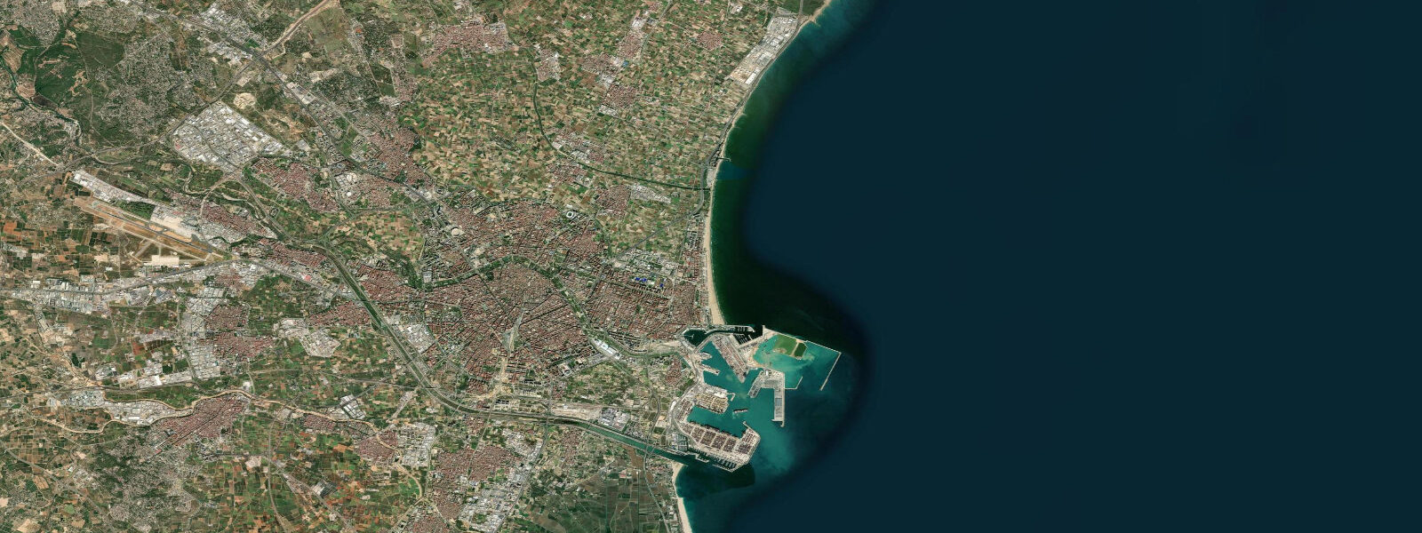
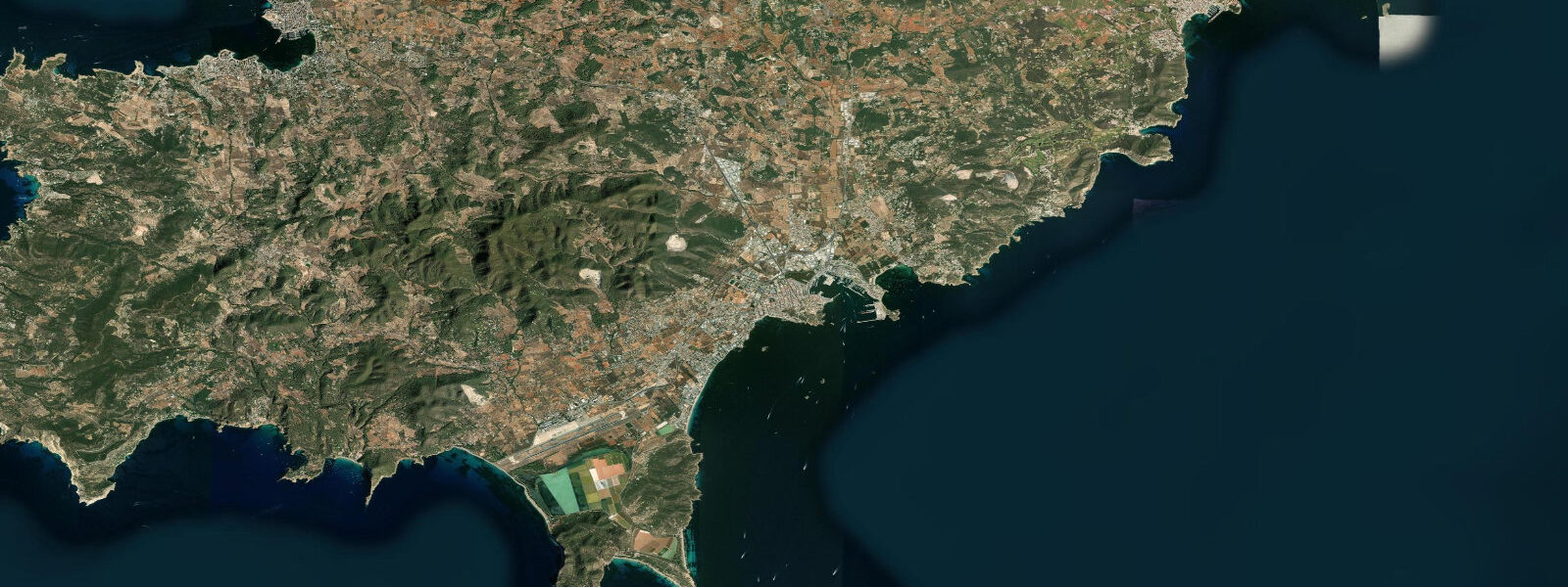
Dénia sits at the base of Montgó massif on the Costa Blanca, 100 kilometres south of Valencia, where the rock of the massif meets the Mediterranean and the coastline turns from north-facing to east-facing. The town has a ferry port connecting to Ibiza and Formentera (less than 3 hours crossing), a castle on the headland, and two completely different coastlines: the Las Marinas beaches to the north (flat sandy, north-facing), and the Las Rotas rocky coast to the south (sea caves, limestone cliffs, east-facing). Tidal range is Mediterranean-small: 0.2 to 0.3 metres.
Las Rotas is the most interesting coastal section. The rocky limestone coast south of the Dénia headland has sea caves, natural arches, and crystal-clear water over rock and posidonia seagrass. Snorkelling here is excellent — the posidonia meadows are protected habitat, visibility is 10 to 20 metres, and the fish life (sea bream, wrasse, octopus) is abundant. The Las Rotas Nature Reserve designates this section; no anchoring on posidonia is permitted. Entry to the water is from the rocky shore; the best access points are the natural ramps between rocks.
Deep red prawns (Gambas rojas de Dénia) are the town's gastronomic signature — caught by small trawlers working the submarine canyon of the Dénia Trench, at depths of 400 to 600 metres. The fishing boats leave before dawn and return mid-morning; the prawns go directly to the restaurants on the Marqués de Campo seafront. Fresh gambas a la plancha (simply grilled with sea salt) at one of the port-side restaurants is the benchmark against which all other prawn preparations should be judged.
The Montgó Natural Park covers the 753-metre massif between Dénia and Jávea. The summit trail offers views from the Alps to the Balearic Islands on clear days. Climbing on the limestone faces of Montgó has routes accessible from the Dénia side.
The ferry to Ibiza departs from Dénia port and is the shortest scheduled ferry crossing to the Balearic Islands from the mainland. The sea crossing takes 2.5 to 3 hours on the fast ferry; an early morning sailing allows a day trip. Tidal conditions in the channel between the mainland and Ibiza are minimal, but the Tramontana wind can create rough conditions on the crossing in autumn and winter.
Predictions on this page come from Open-Meteo Marine, a gridded global ocean model. Accuracy is typically within plus or minus 45 minutes on timing and 0.2 to 0.3 metres on height — model-derived, not from a local gauge. For the most accurate Mediterranean sea level data for Spain, consult Puertos del Estado at puertos.es.
Tide questions about Dénia
Quick answers to the most common questions about tide times, range, and water access at Dénia.
What are gambas rojas de Dénia?
Dénia's red prawns are caught by small trawlers in the Dénia submarine canyon at depths of 400 to 600 metres. The cold, deep water produces an exceptionally sweet, firm prawn that is a protected designation of origin product (Gamba Roja de Dénia, IGP). Boats return to port mid-morning; the day's catch goes to restaurant buyers directly. The best place to eat them is the port-side restaurants on the Marqués de Campo, simply grilled (a la plancha) with sea salt — no sauce needed.
Is snorkelling good at Las Rotas, Dénia?
Las Rotas is one of the better snorkelling stretches on the Costa Blanca. The rocky limestone coast has posidonia seagrass meadows in 3 to 8 metres of clear water (visibility 10 to 20 m in calm conditions). Sea bream, mullet, wrasse, and octopus are common. The Las Rotas Nature Reserve protects the area; no boat anchoring on the seagrass. Entry from the rocky shore using neoprene socks on the rocks. Best in calm levante-free conditions (typically morning).
What is the tidal range at Dénia?
Mediterranean tidal range at Dénia is 0.2 to 0.3 metres — negligible for beach planning. Water level is primarily wind-driven. The levante (east wind) pushes water onshore along the Las Marinas beaches; the tramontana (north) can lower water level slightly on the south coast. Snorkelling and swimming conditions at Las Rotas are primarily determined by wind-driven swell, not tidal state.
Can I take the ferry from Dénia to Ibiza?
Yes — Baleàlia Lines operates ferries from Dénia port to Ibiza Town and Sant Antoni (Ibiza) year-round. The fast ferry takes about 2.5 hours; the conventional ferry takes 4 to 5 hours. Dénia is the closest mainland port to Ibiza, making this the shortest ferry route to the island. Summer sailings can be daily in each direction; winter service is reduced. Book ahead in July and August. A day trip to Ibiza is possible on the fast ferry.
Is there climbing near Dénia?
Montgó Natural Park has limestone sport climbing on the south face above Dénia, with routes ranging from 4c to 7b+ in the bolted sectors. The rock is compact limestone; approach 20 to 40 minutes from the main park road. The climbing area faces east and is best in morning light before the afternoon heat. Jávea (10 km south) has additional climbing sectors at Cap de Sant Martí and Cap de la Nau. Guidebooks are available at local climbing shops in Dénia and Jávea.
8-day tide table — Dénia
Heights relative to MSL. Predictions: Open-Meteo Marine (MeteoFrance SMOC, 0.08° grid) — heights relative to MSL (not chart datum / LAT). Model-derived.
| Day | Type | Time | Height |
|---|---|---|---|
| Fri 19 Jun | — | ||
| Sat 20 Jun | — | ||
| Sun 21 Jun | High | 03:00 | -0.4m |
| Mon 22 Jun | Low | 11:00 | -0.6m |
| Tue 23 Jun | — | ||
| Wed 24 Jun | High | 03:00 | -0.5m |
| Thu 25 Jun | — | ||
| Fri 26 Jun | Low | 01:00 | -0.4m |