Puerto de Mazarrón tide times
Puerto de Mazarrón tide forecast — heights relative to MSL.
Today's tide times for Puerto de Mazarrón
Tide times at Puerto de Mazarrón on Sunday, 21 June 2026: first high tide at 21:10. Sunrise 06:43, sunset 21:29.
Tide chart for Puerto de Mazarrón
24-hour cosine-interpolated curve around the present moment. Heights relative to MSL. Predictions: Predictions: Open-Meteo Marine (MeteoFrance SMOC, 0.08° grid).
Sun, moon and conditions on Sun 21 Jun
Snapshot at build time — refreshes daily. Sea state from Open-Meteo Marine.
Highs and lows next 7 days
Every predicted high and low for the next week, with the daily tidal coefficient (0–120; higher = bigger swing, > 95 means stronger currents).
Other spots nearby
The three closest curated TideTurtle locations to Puerto de Mazarrón, measured by great-circle distance.

Today's solunar windows
Solunar tradition: major periods are the ≈3h windows around moon transit and opposition; minor are ≈2h around moonrise and moonset. Pair with the local tide stage and wind for the best read.
About tides at Puerto de Mazarrón
A short guide to the coastline at Puerto de Mazarrón — geography, sea state, and what the tide is actually doing under your feet.
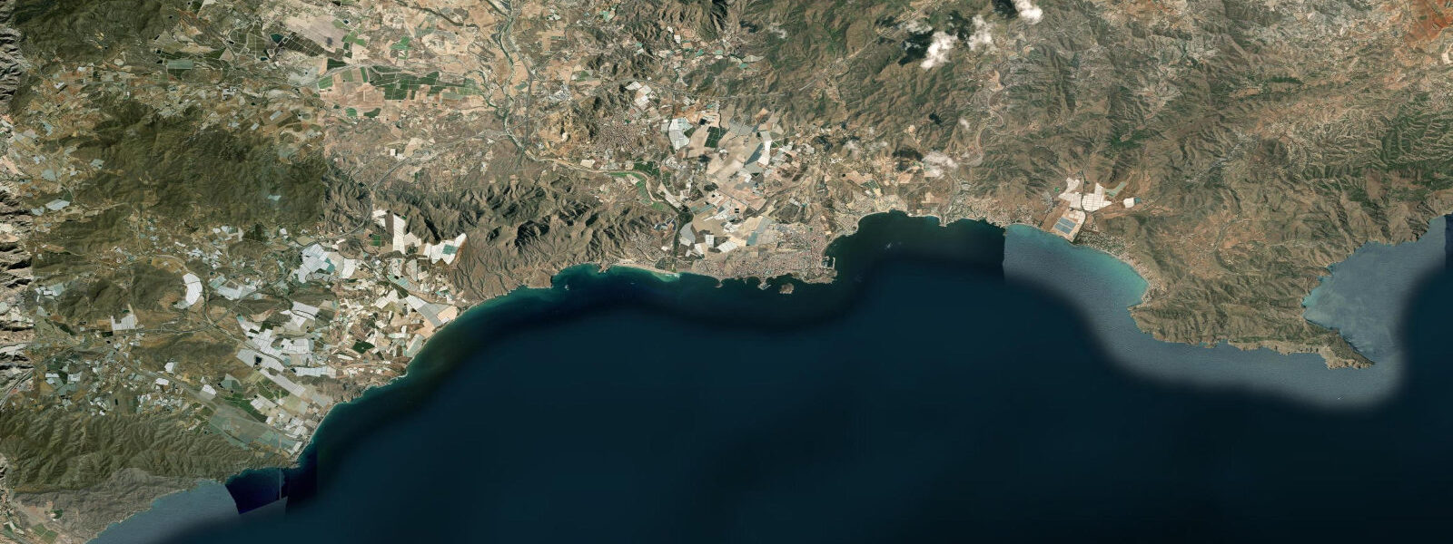
Puerto de Mazarrón sits at the western edge of the Murcia coast, where a low volcanic headland — Cabo Tiñoso — drops off into the open Mediterranean between Cartagena and Águilas. The town itself is small: a working fishing port with a marina overlay, a seafront promenade, and a beach that faces southeast into the bay. The bay is open — no barrier island, no restricting headland directly offshore — and in a levante (easterly) the swell rolls in from the open sea and the anchorage becomes uncomfortable. In settled conditions it's clear, warm, and productive for divers.
The tidal range is microtidal throughout the open Mediterranean bay: mean range 0.25 m, spring tides reaching approximately 0.3 m. Puertos del Estado maintains tide prediction data for this coast; the nearest gauge station is Cartagena, and the tidal characteristics at Mazarrón are similar. Tides here are mixed semidiurnal with diurnal inequality. The absolute sea level change through a cycle is less than 30 cm in all but exceptional conditions; the storm surge from a sustained easterly can exceed this in an afternoon.
The dive profile around Mazarrón is built around three layers: the sandy inshore shallows where posidonia meadows survive, the rocky reef structure of the Cabo Tiñoso headland, and the historical wreck scatter in the bay. The wrecks are the main draw for specialist divers. Several vessels from various eras lie in relatively shallow water (12–30 m) off the coast; the most accessible are reachable by dive boat from Puerto de Mazarrón marina in 15–20 minutes. A Roman amphorae scatter site was identified in the 1970s approximately 2 km northeast of the harbour entrance — visibility-permitting snorkelling over the site is possible in the right conditions, though the accessible amphorae have been relocated to the Municipal Archaeological Museum in Mazarrón town (3 km inland). The deeper wreck sites include a late-19th-century cargo vessel and the remains of a WWII-era vessel damaged in the Franco-era naval activity off this coast; exact coordinates are held by local dive operators.
The town beach, Playa de la Playa Honda, runs approximately 1.5 km along the inner bay. It is sand, fine-grained, and sheltered from the north by the sierra above the town. At low water (0.25 m below mean) the beach extends perhaps 10–15 m further seaward than at high water; the shallow gradient means the absolute difference is more visible in the waterline position than the height change suggests. The beach is used by families, and the southeast orientation means the morning sun is on the water early — 08:00 in midsummer. The Playa Bolnuevo, 4 km north along the coast road, has an additional feature: the Bolnuevo sandstone formations (Ciudad Encantada) — eroded pillars and arches above the beach created by differential wind and wave erosion of calcarenite. The formations are immediately adjacent to the foreshore and walkable at any state of tide.
Fishing from the muelle (jetty) at Puerto de Mazarrón is open to the public; the jetty head is the standard position for rod-and-line fishing for bream and bass. The commercial fishing fleet still operates from the inner basin, and the lonxa (fish auction) operates on weekday mornings when boats are in. The best viewing of the auction is between 08:00 and 10:00 when the night's catch is being graded; access for visitors varies by day. The principal commercial catch from this coast is red mullet (salmonete), dorada, and cephalopods.
Kite surfing and windsurfing are practised from the Playa de la Isla spit, 2 km east of the harbour, which catches the poniente (westerly) reliably in the summer months. The launch beach is shallow and sandy; the microtidal range is inconsequential for a beach launch, and the wind is the sole operating variable.
Tide data for Puerto de Mazarrón comes from the Open-Meteo Marine API. Timing accuracy is ±45 minutes, height accuracy ±0.2–0.3 m. For navigation, use Puertos del Estado official predictions for the Cartagena reference station with a local correction applied.
Tide questions about Puerto de Mazarrón
Quick answers to the most common questions about tide times, range, and water access at Puerto de Mazarrón.
What wreck diving is available off Puerto de Mazarrón?
Several wrecks lie within 20 minutes by dive boat from Puerto de Mazarrón marina, in depths ranging from 12 to 30 m. The sites include a late-19th-century cargo vessel and a WWII-era vessel damaged during the Franco-era naval operations off this coast; exact GPS coordinates are provided by local dive operators at briefing. The bay also has a known Roman amphorae scatter site approximately 2 km northeast of the harbour entrance, accessible by snorkel in good visibility — the amphorae themselves have been removed to the Municipal Archaeological Museum in Mazarrón town, 3 km inland. The tidal current at all sites is negligible (under 0.2 knots), so dive timing is weather-driven rather than tide-driven.
What is the Bolnuevo Ciudad Encantada — can I walk there from the beach?
The Bolnuevo sandstone formations — locally called Ciudad Encantada (Enchanted City) — are eroded calcarenite pillars and arches rising directly from the beach at Playa de Bolnuevo, 4 km north of Puerto de Mazarrón on the coast road. The formations are immediately adjacent to the foreshore and walkable at any state of tide; there is no cliff or seawall between the beach and the base of the formations. The erosion is driven by wind and wave action on the soft calcarenite rather than by tidal inundation — the microtidal range of 0.2–0.3 m means the formations are only briefly wetted at the base during high water. From the marina, the Bolnuevo beach is a 10-minute drive or a 45-minute coastal walk.
Is kite surfing at Mazarrón affected by the tides?
Tides are essentially irrelevant for kite surfing at Playa de la Isla. The launch beach is sandy and shallow; a 0.2–0.3 m tidal change shifts the waterline by roughly 10–15 m on the gently sloping sand, which has no effect on launching or landing technique. The poniente (westerly) is the primary operational factor — it arrives reliably in the summer afternoons from roughly 14:00 and builds to 15–25 knots by 16:00 on good days. The mistral influence can amplify this. The Playa de la Isla spit is the preferred launch point because the orientation and shallow water depth work well for the westerly wind angle.
When does the fish auction (lonxa) operate, and can visitors watch?
The lonxa at Puerto de Mazarrón operates on weekday mornings when the fishing fleet returns, typically between 08:00 and 10:00. The commercial catch from this coast — red mullet (salmonete), sea bream (dorada), and cephalopods — is graded and auctioned on the quayside. Access for casual visitors is not formally regulated but depends on the day and the activity level; arriving early (08:00) and staying out of the working areas is the standard approach. The fishing fleet's operating schedule is weather-dependent and not publicly posted; if the boats are in the harbour in the early morning, the auction is likely running.
Is the tide prediction on TideTurtle for Mazarrón accurate enough for boat trips?
TideTurtle's predictions for Puerto de Mazarrón use the Open-Meteo Marine model, with accuracy of ±45 minutes in timing and ±0.2–0.3 m in height. For planning a boat trip, snorkel session, or beach visit, these figures are suitable. For navigation or any safety-critical decision involving water depth and vessel draught, the authoritative source is Puertos del Estado, using the Cartagena reference station with a local offset correction for Mazarrón. The mean tidal range here is only 0.25 m — so while the modelling uncertainty is proportionally large relative to the range itself, the absolute height differences in a microtidal harbour context are small.
8-day tide table — Puerto de Mazarrón
Heights relative to MSL. Predictions: Open-Meteo Marine (MeteoFrance SMOC, 0.08° grid) — heights relative to MSL (not chart datum / LAT). Model-derived.
| Day | Type | Time | Height |
|---|---|---|---|
| Sun 21 Jun | High | 21:10 | -0.4m |
| Mon 22 Jun | Low | 14:00 | -0.5m |
| High | 22:00 | -0.4m | |
| Tue 23 Jun | Low | 15:00 | -0.5m |
| Wed 24 Jun | — | ||
| Thu 25 Jun | High | 00:00 | -0.4m |
| Fri 26 Jun | — | ||
| Sat 27 Jun | Low | 19:00 | -0.5m |
| Sun 28 Jun | High | 01:00 | -0.4m |